Pete's Walks - Ashridge and Aldbury (page 2 of 3)
If you are considering walking this route yourself, please see my disclaimer. You may also like to see these notes about the maps and GPX files.
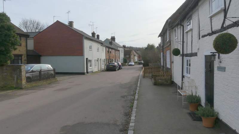
When I did this walk in the opposite direction, I'd taken a public footpath out of Aldbury, so I was now looking for a public footpath sign or waymark on the right. When I reached a bridleway going right, I realised I'd gone too far - looking on the OS map (too late!) I saw that rather bizarrely the path I wanted was only a public footpath from Aldbury to the edge of the wooded slope on my right, thereafter the map shows it as a dotted black line (this is an Open Access area, so there's no issue with using it). Consequently there was no public footpath sign where it meets the bridleway I was on. I couldn't be bothered to go back uphill to find the end of the path, so I turned right along the bridleway (which I have walked just as infrequently as the path I missed). I soon left the woods, passing a paddock on the right and then following a straight drive to reach a street in Aldbury opposite a black-and-white timber-framed cottage. I turned left along the street, keeping to the left of the pond when I reached the village centre. I then went straight on at a slightly staggered crossroads, following a sign pointing the way to the Valiant Trooper pub.
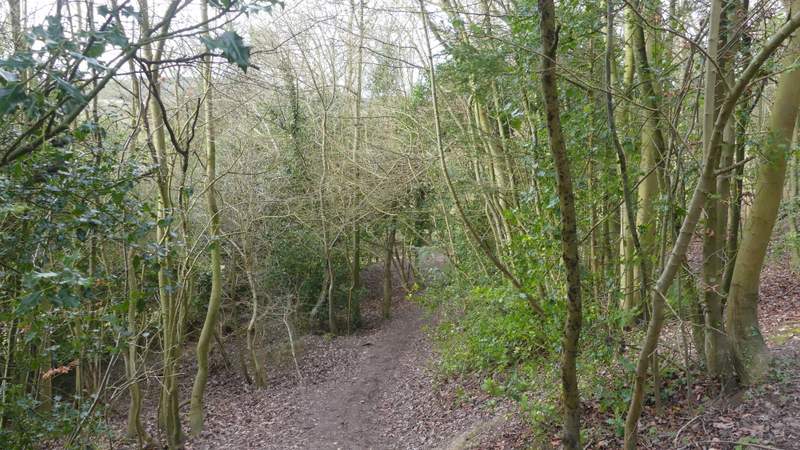
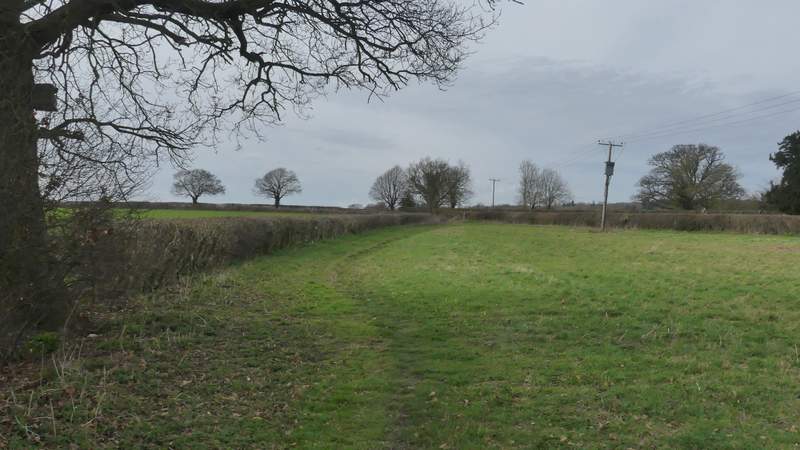
The bridleway after I turned right (having missed the turning for the path I meant to take)
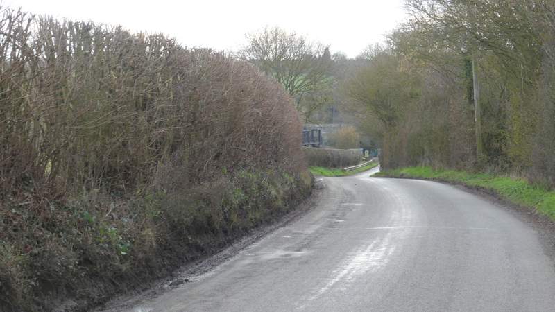
Further along the bridleway
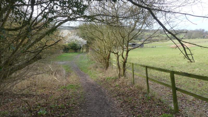
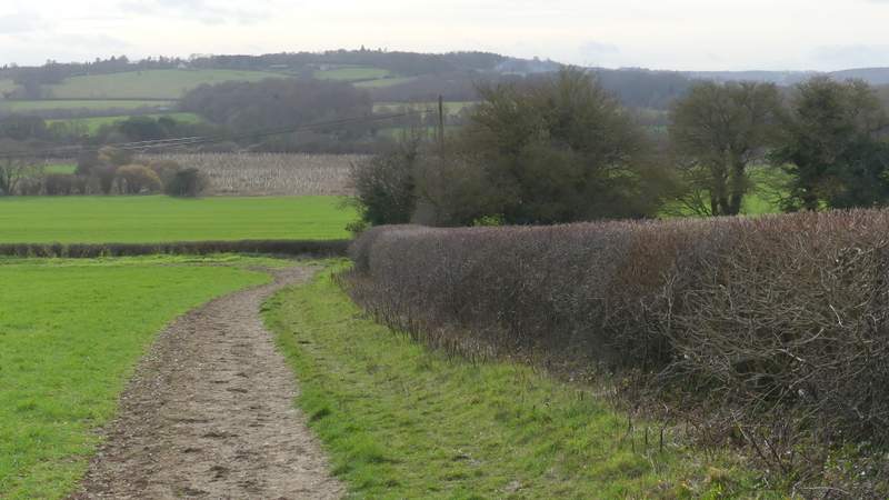
Further along the bridleway, approaching the street through Aldbury
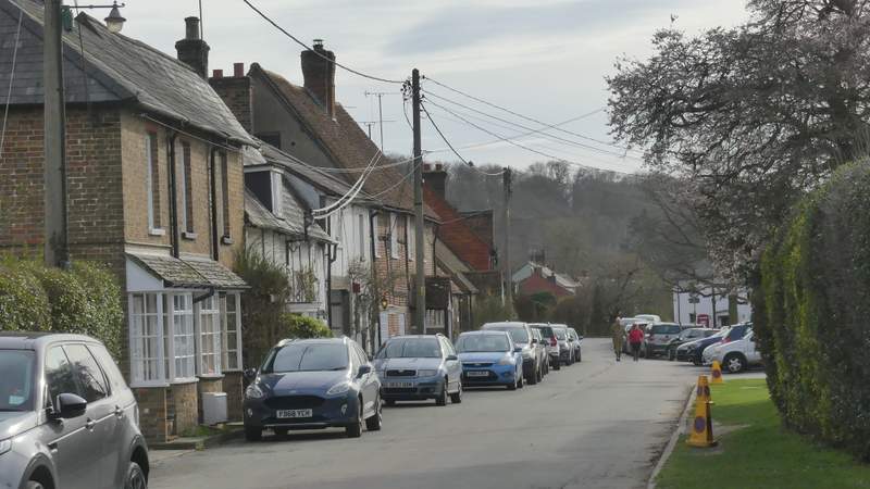
The street through Aldbury after I turned left
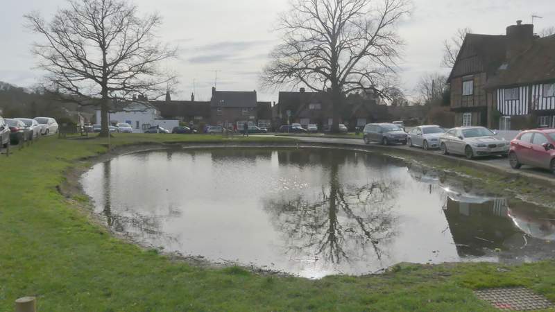
The village pond in Aldbury
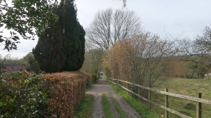
The street to the Valiant Trooper
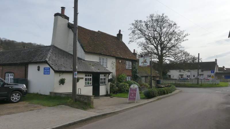
The Valiant Trooper, Aldbury
When I reached the Valiant Trooper the street turned left but I went straight on a few yards and took a footpath on the right. This path was soon crossing a field (the OS map shows two paths here, I took the leftmost one and don't remember seeing the other one), on the far side of which it ran alongside a hedge on my left with a triangular area of rough grass to my right. The path then switched to the left of the hedgerow, and followed it as it turned left (Station Road was now on the other side of the hedge). In the next field corner I went through a hedge gap and went straight on at a path crossroads (Station Road went right at this point).
The path I took out of Aldbury
The path I took out of Aldbury
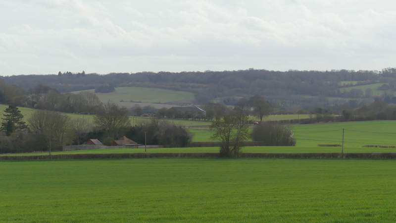
View towards Wigginton (I think)
The path running parallel to Station road (over the hedge)
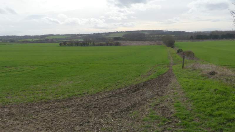
The path continuing straight on from the path junction where Station Road turns right
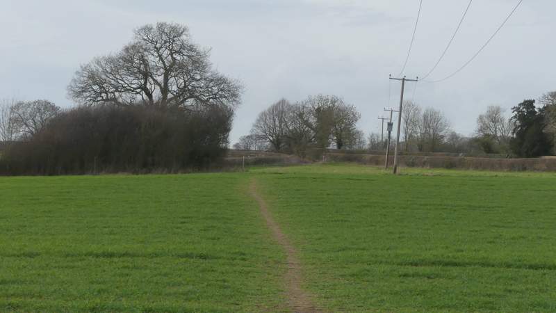
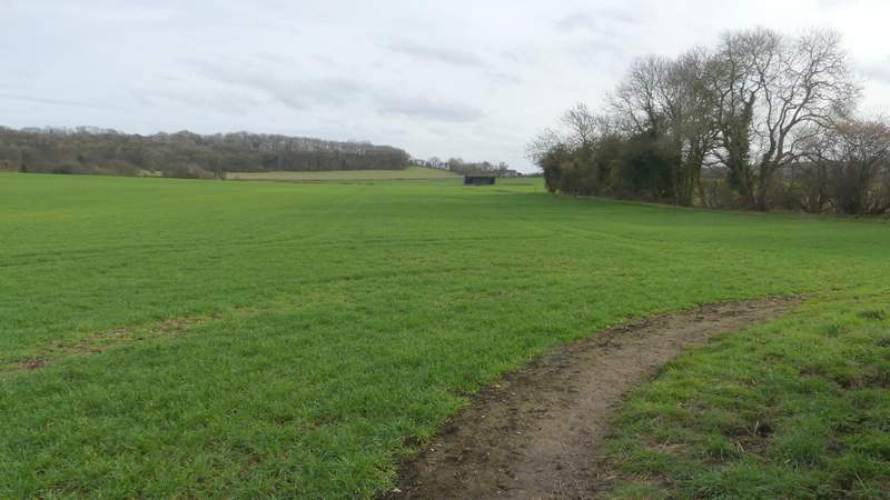
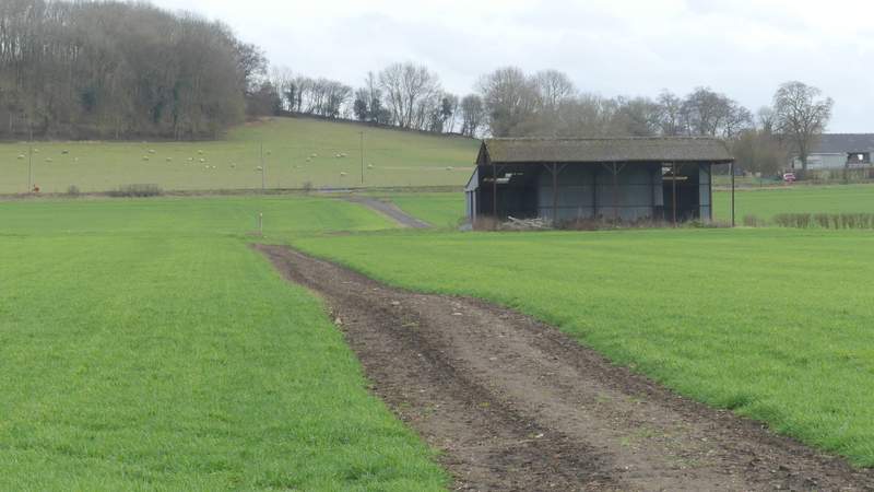
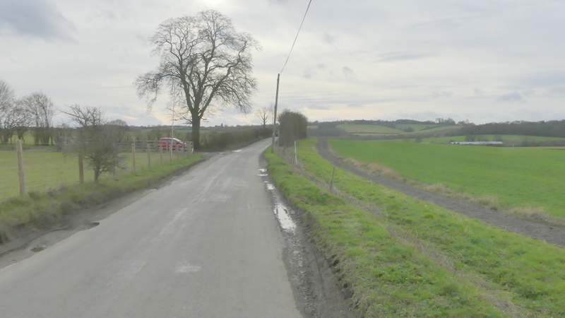
After a while the path turned left (actually, according the OS map the path ended and a byway started off to the left). I was soon following a line of trees on my right, with an area of reeds and rough grass on the other side - there used to be a pond here but it seems to have dried up. The path then followed a track across a large arable field, passing close to a barn to my right. This brought me to Newground Road, where I turned right. A byway almost immediately went left, but I stayed on the road for another two or three hundred yards until a second byway went left (the finger-post isn't visible as you approach this way along the road, until you are level with it).
The same path after it turns left (actually it becomes a byway where it turns left)
The byway continuing to Newground Road
Newground Road
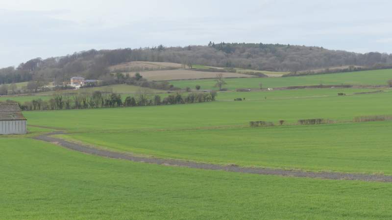
View towards Aldbury Nowers
Newground Road