Pete's Walks - Variation on 'Four Hills' Walk (page 2 of 6)
If you are considering walking this route yourself, please see my disclaimer. You may also like to see these notes about the maps and GPX files.
After admiring and photographing the far-reaching views out over the Vale of Aylesbury, I turned right and wandered along the top of the hill to some trees and a security camera (the fence behind the trees is the boundary around Chequers). I then turned right, dropping downhill a few paces and then turning right along an obvious path that gradually lost height as it crossed the western flank of the hill. It brought me to the path junction I'd passed on my way up to the top of Beacon Hill, where I turned left and retraced my steps a short way back down to the footpath from Ellesborough, where I turned left. The path soon entered the trees of Ellesborough Warren, going round the end of a small valley and up a short flight of steps. It then crossed a meadow to reach Whorley Wood.
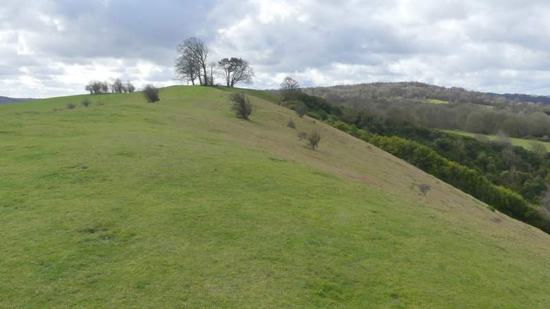
The top of Beacon Hill
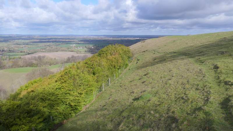
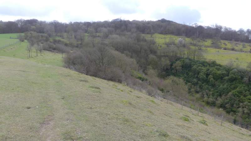
The path I took down from Beacon Hill, after turning round by the boundary fence of Chequers
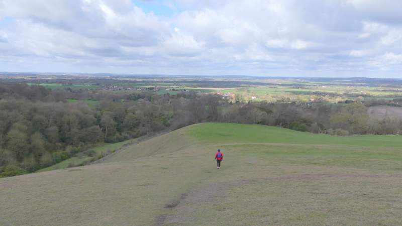
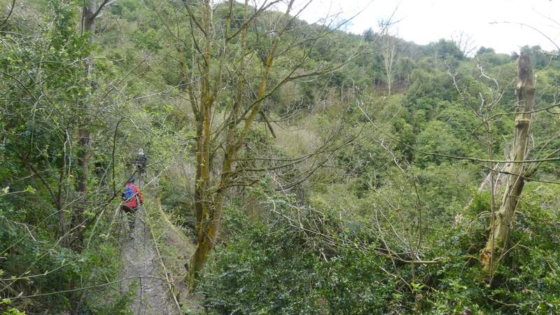
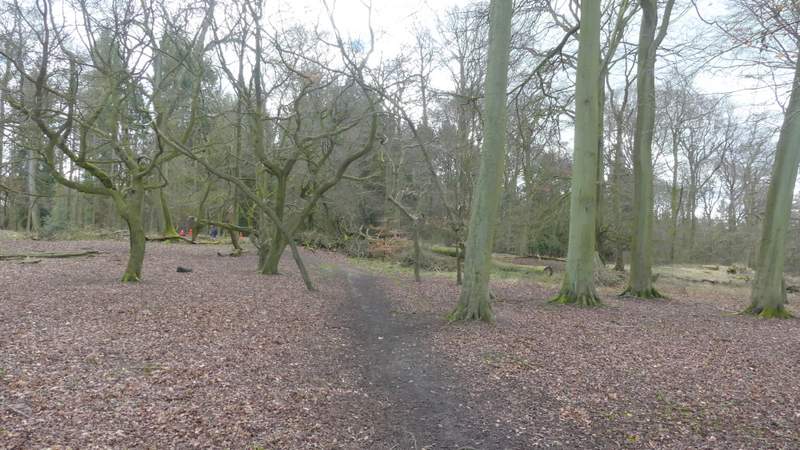
Descending the lower part of the path I went up by
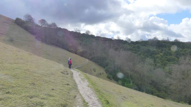
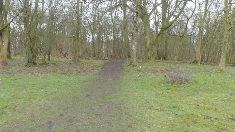
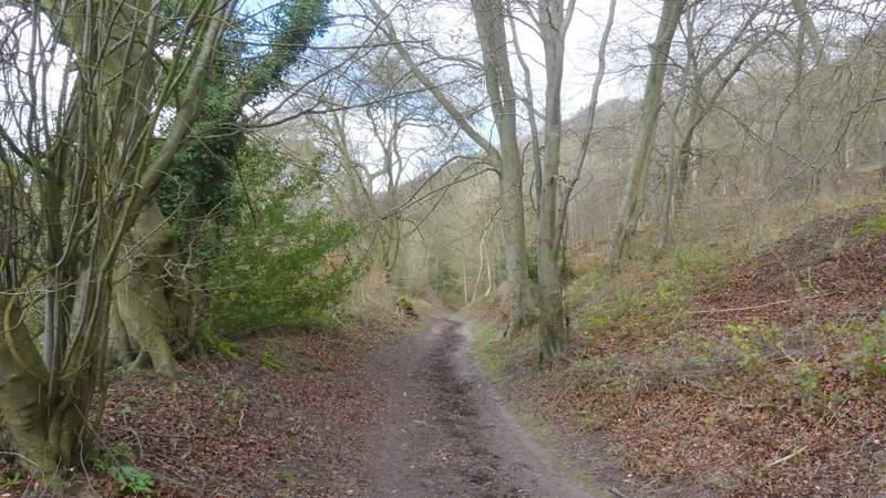
Back on the footpath, approaching Ellesborough Warren
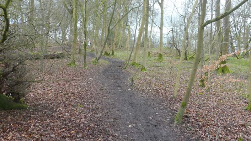
The path contouring through Ellesborough Warren
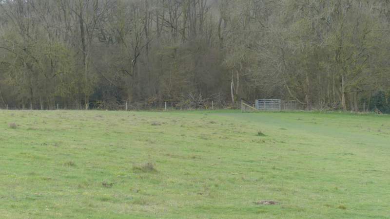
The meadow between Ellesborough Warren and Whorley Wood
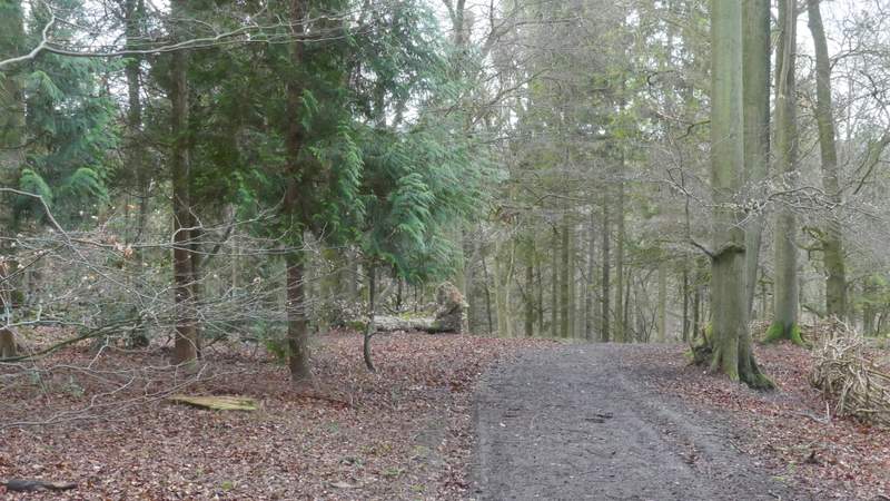
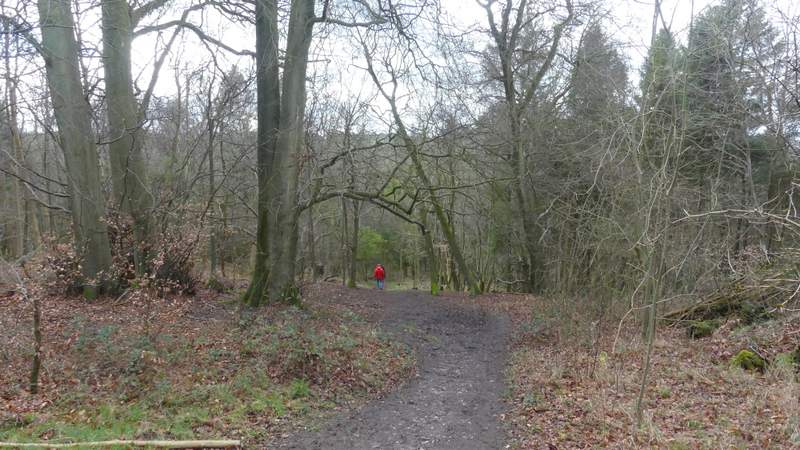
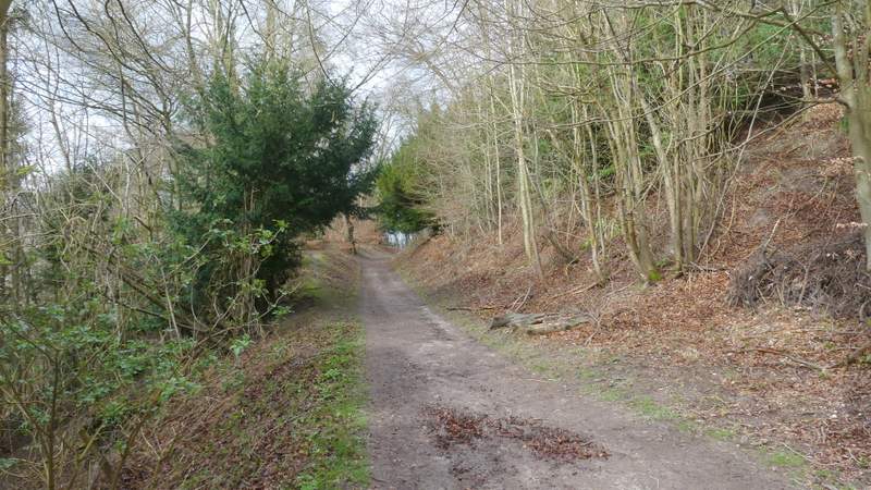
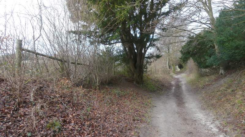
The path continued a short way through Whorley Wood (strictly speaking the OS map shows that wood on the left, and some unnamed woodland to my right), and then immediately after going through a gate I forked right at a path junction. This went through some trees and along a fence to a stile, over which I reached the top of an embankment with the wooded valley of Great Kimble Warren in front of me. I turned left and stayed close to a fence on my left to reach a path crossroads where I went straight on over the Ridgeway and followed a path gently uphill across a scrub-covered hillside. The path then entered some woods, where I crossed a bridleway and followed the path (this part of the path is not shown on the OS map) gently uphill through the trees towards the Iron Age Hill Fort on top of Pulpit Hill. I turned left after after passing some beech trees on my right, and wandered through the centre of the hill fort (its ditches and banks aren't too easy to pick out).
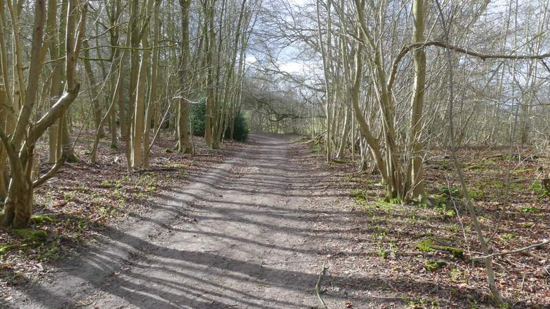
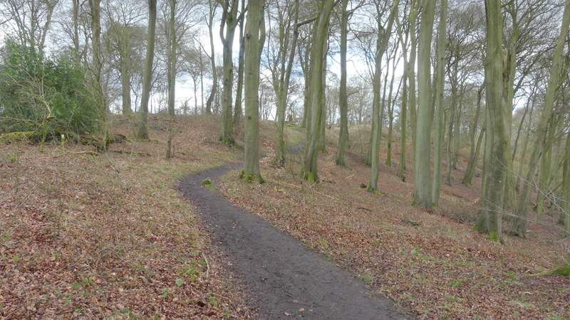
The path continuing through Whorley Wood
The path after I forked right after the gate on the other side of the wood
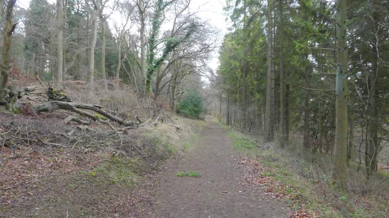
The path following the fence, past Great Kimble Warren
The path after I crossed the Ridgeway
The path continuing up Pulpit Hill
Approaching the Iron Age Hill Fort on top of Pulpit Hill
Walking through the Iron Age Hill Fort on Pulpit Hill
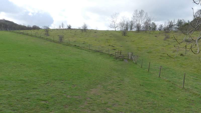
On the other side of the hill fort I took a path that immediately turned right, dropping a short way downhill to meet a wide path where I turned left. After a few hundred yards along this level path, I came to a path crossroads where I turned right, dropping quite steeply downhill through what was now Pulpit Wood to reach a small car park (by a minor road). Here I turned immediately right along a bridleway, heading northwest with the wooded slopes of Pulpit Hill on my right. After a while I had a nature reserve on my left (the OS map says Grangelands and Pulpit Hill, its now the Grangelands and The Rifle Range nature reserve).
The path on the other side of the hill fort, going left
The path after I turned left on Pulpit Hill
The path descending to the Pulpit Hill car park, after I turned right
The bridleway, after I turned left at the Pulpit Hill car park
The bridleway continuing along the foot of Pulpit Hill
The bridleway continuing along the foot of Pulpit Hill