Pete's Walks - Variation on 'Four Hills' Walk (page 1 of 6)
If you are considering walking this route yourself, please see my disclaimer. You may also like to see these notes about the maps and GPX files.
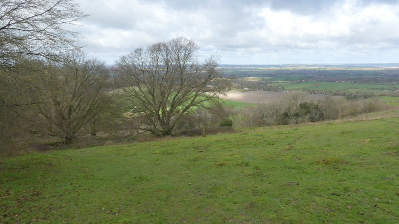
I did this circular walk of about 11 miles on Sunday, 17th March 2019. It was a repeat of a walk I did in April 2010 (I'm staggered that it was that long ago!), but this time I did it anti-clockwise. The route is a shortened version of my 'Four Hills Walk' (which is a snappier title than 'Coombe Hill, Beacon Hill, Pulpit Hill and Whiteleaf Hill'), which is one of my favourite walks in the Chilterns. Unfortunately, due to a hailstorm, I cut the walk slightly short, taking a quicker route back up Bacombe Hill to Coombe Hill than I'd intended.
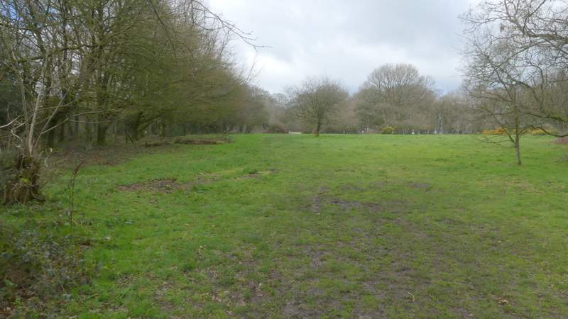
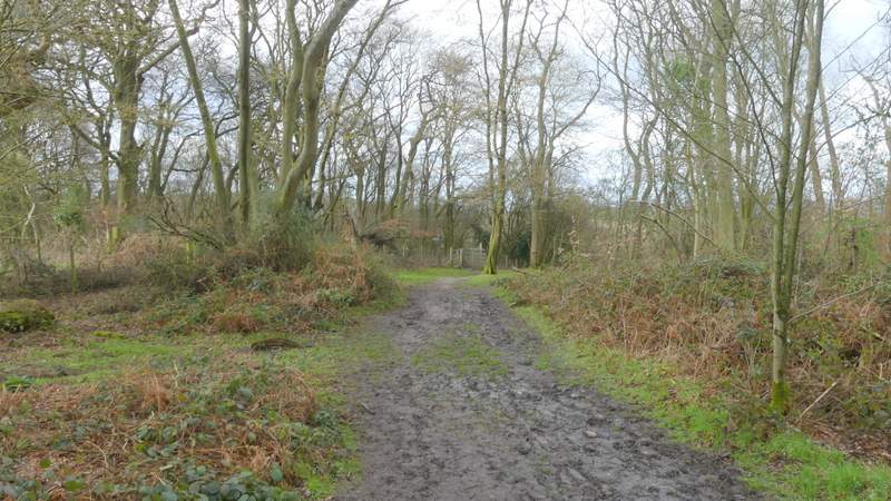
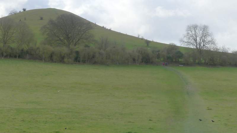
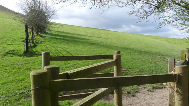
I parked in the Coombe Hill car park (grid reference SP 852063), and started walking about 9.20am. I went through the gate by the entrance to the car park and turned half-left (clearer paths went straight on and half-right), staying close to a hedgerow on my left. I went straight on where I crossed the route of the Ridgeway, at a metal kissing-gate on the left, and then I soon had a nice view out over the Vale of Aylesbury as the path started to descend the western side of Coombe Hill. This is a very steep path (by the standard of the Chiltern Hills) - I always have to take care on such steep downhills because of my arthritic knees, but I took it particularly carefully today because the mud and chalk were so slippery after all the rain there'd been in the previous week (including last night). On safely reaching a crossing bridleway at the foot of the slope, I continued straight on along a short track to reach a minor road in the hamlet of Coombe.
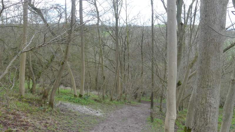
The path I took from the Coombe Hill car park
The path I took from the Coombe Hill car park
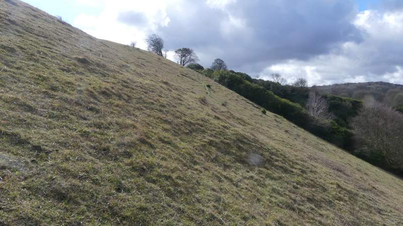
The path starting to descend the steep western flank of Coombe Hill
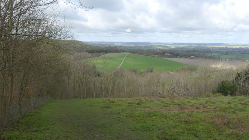
The path descending the steep western flank of Coombe Hill
The path descending the steep western flank of Coombe Hill
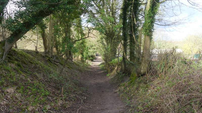
The path continuing from the foot of Coombe Hill to the road at Coombe
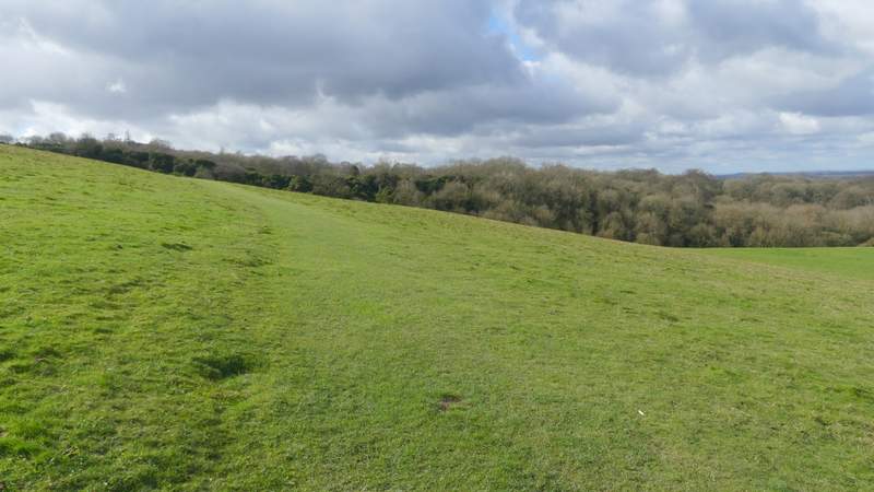
I crossed over and went a short way to the right, then took a clear chalky path crossing a very large arable field, with Beacon Hill now ahead and slightly to the left. The path ended when it reached a hedge-lined track, where I turned right and soon reached another minor road in Ellesborough, opposite the church. I went a few paces left, and then took a path that crossed a large meadow or pasture. Through a gate, it continued slightly uphill as it went round to the right of Beacon Hill (three ladies were going directly up to the top of the hill, something I've only done once). At roughly the highest point of this footpath, an obvious path went steeply left towards the top of Beacon Hill. After passing the remains of an old fence line, where a path came in on the right (the way I'd come down), it became really steep. But it then didn't take me much longer to reach the tumulus or burial mound at the northern end of the hilltop (which the three ladies I'd seen had already reached).
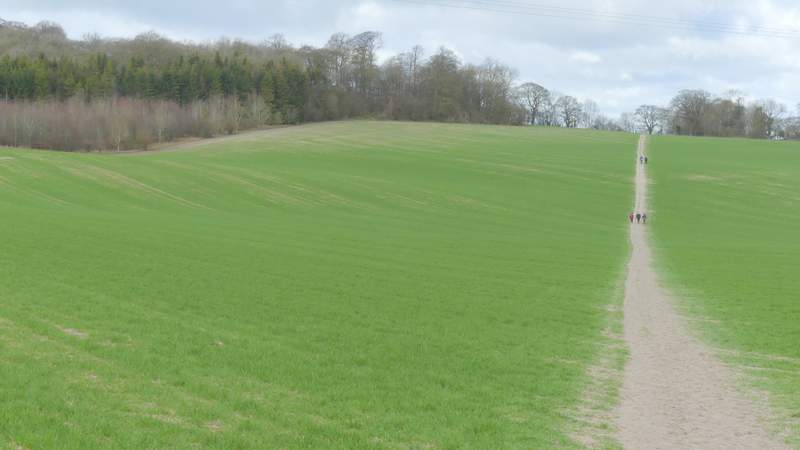
The path heading across the large arable field, heading towards Ellesborough
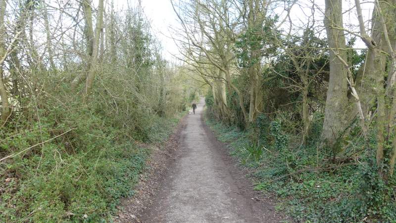
The track heading towards Ellesborough church
Near the start of the footpath heading south from Ellesborough
The path going round Beacon Hill
The path going round Beacon Hill
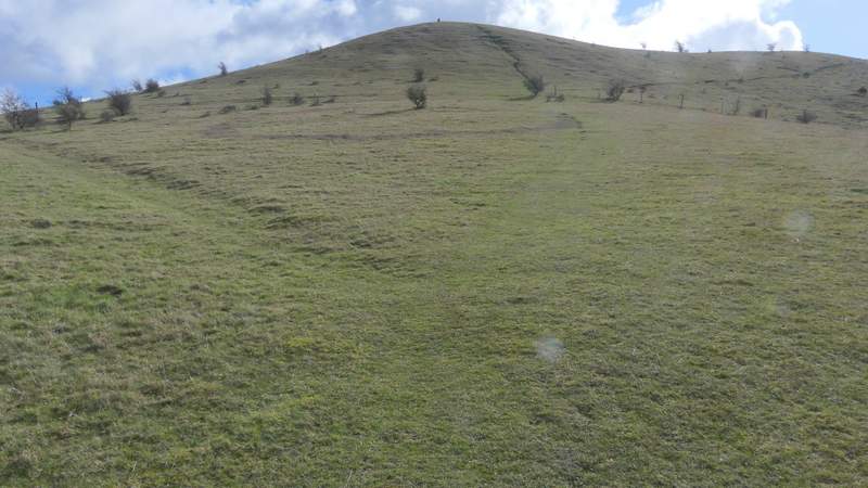
The path up Beacon Hill, after I turned left
This gives an idea of how steep it got going up Beacon Hill
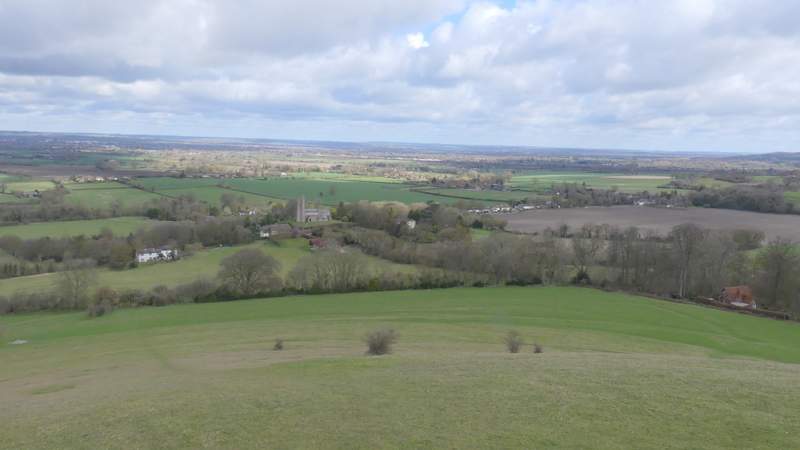
View north from Beacon Hill, over Ellesborough and the Vale of Aylesbury
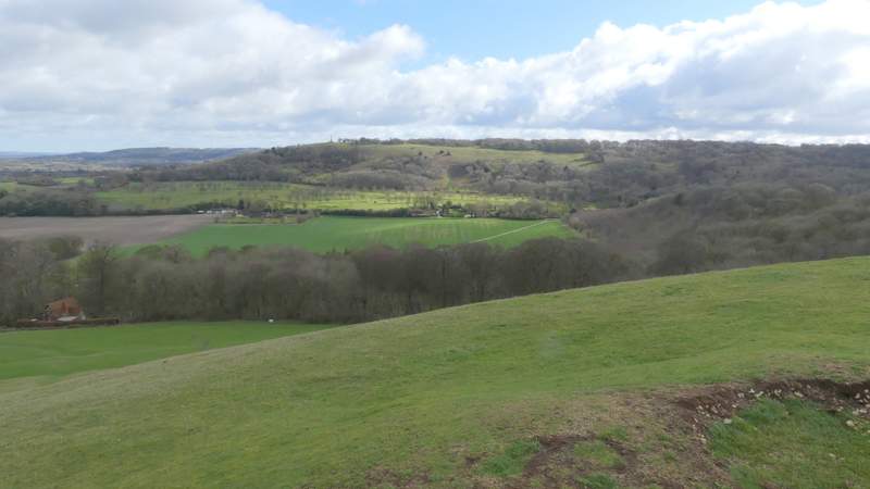
View east from Beacon Hill to Coombe Hill (in the bottom right corner of this photo you can see some of the remains of the tumulus or, ancient burial mound, on Beacon Hill