Pete's Walks - Cowleaze Wood, Crowell, Stokenchurch (page 1 of 7)
If you are considering walking this route yourself, please see my disclaimer. You may also like to see these notes about the maps and GPX files.
Google map of the walkDownload GPX file of the walk
NOTE (6/11/2025): Parking at Cowleaze Wood is no longer free, there is now a cashless payment system. To see details, click here and then click on the 'Parking and prices' tab.
I did this circular walk of about 13 miles on Sunday, 5th April 2019 (a Bank Holiday Sunday). For the second week in a row I walked a new route, one that again I'd cobbled together by looking at the OS map and linking some paths I'd not walked before with some paths I was familiar with. In this case, I'd long wanted to walk a stretch of bridleways extending southwest from Chinnor, running parallel to the Chiltern escarpment. I managed to link them to the Chilterns using paths up and down the escarpment that I'd not used before, and then managed to link in three new paths between Sprigs Alley and Stokenchurch. From there back towards my starting point at Cowleaze Wood was on paths I'd walked before (though one section I don't think I'd walked since 2007) until I reached Lower Vicar's Farm on the Wormsley Estate, where I took a bridleway along an estate drive to Upper Vicar's Farm and then took paths through the Aston Rowant nature reserve the short distance back to Cowleaze Wood. Altogether, I think about 50% of the route was new to me.
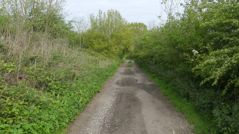
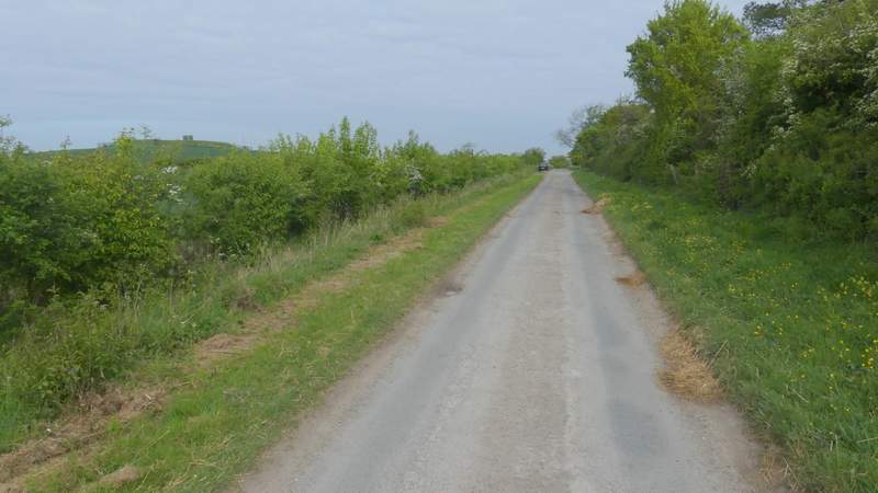
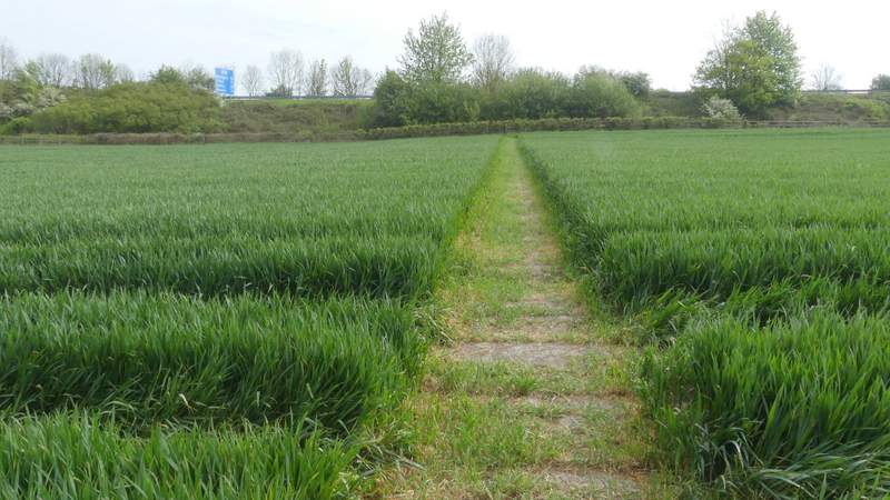
I parked in the large car park at Cowleaze Wood (on the Ibstone road, a couple of miles east of Stokenchurch - grid reference SU 726956), and started walking about 8.55am (for the third week in a row I'd left home around an hour earlier than usual, about 8am). I walked through the car park with the road to my left until I came to a sign about the Aston Rowant nature reserve. I carefully crossed the road and went through a gate, turning right and following a hedge on my right through an empty sheep pasture for about 100 yards. Through another gate I turned left along what appeared to be a farm track but is in fact Hill Road - there was a sign by the road here saying it was 'Not Suitable for Motor Vehicles', it only becomes an actual lane at Hill Farm at the bottom of the Chiltern escarpment. This was the start of the first section of the route that I'd not walked before. The road or track was soon steadily descending the Chiltern escarpment northwestwards to the Oxfordshire Plain below, following the northeastern side of Bald Hill. It was a pleasant enough section (I'd not be so keen on walking up it the other way, its about half a mile from top to bottom) but it is almost entirely enclosed by trees or hedges, so I'm unlikely to use it much in future because it lacks the fine views that the other three paths that descend the escarpment from near Cowleaze Wood have. There was also noise from the nearby M40 motorway, but this was no worse than on the path that descends Linky Down, a short distance to my right).
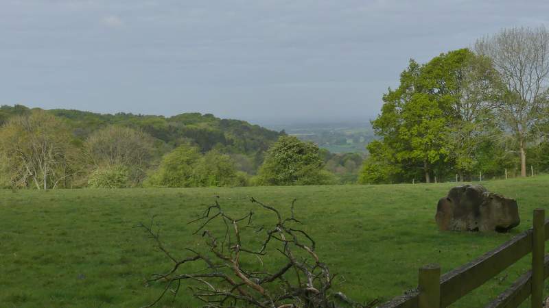
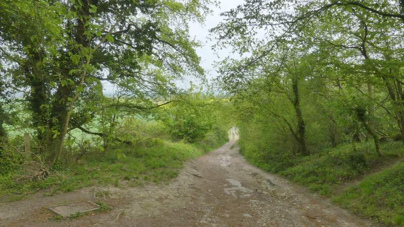
View after crossing the road from Cowleaze Wood
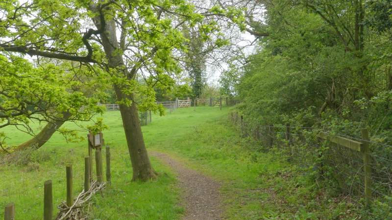
The path parallel to the road, through part of the Aston Rowant nature reserve
The start of Hill Road ('Not suitable for motor vehicles')

Hill Road
Hill Road
Hill Road
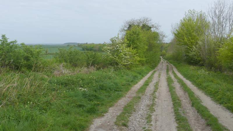
Hill Road
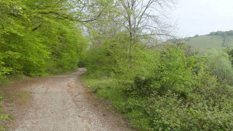
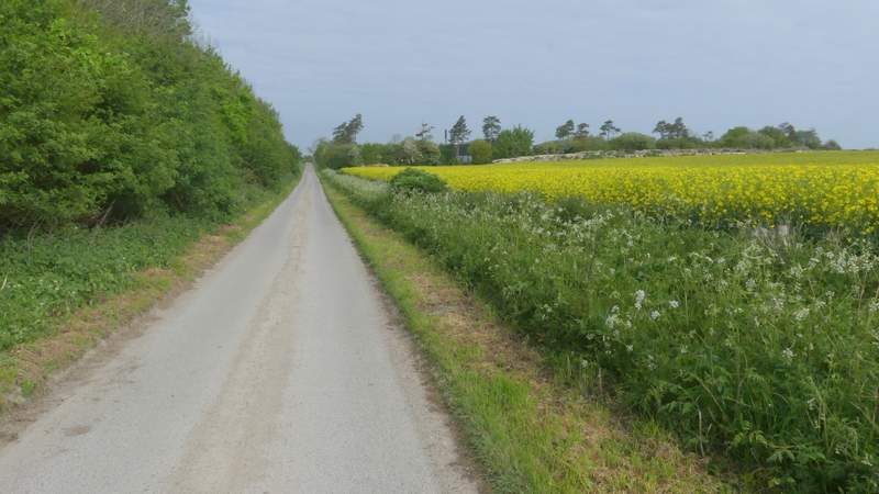
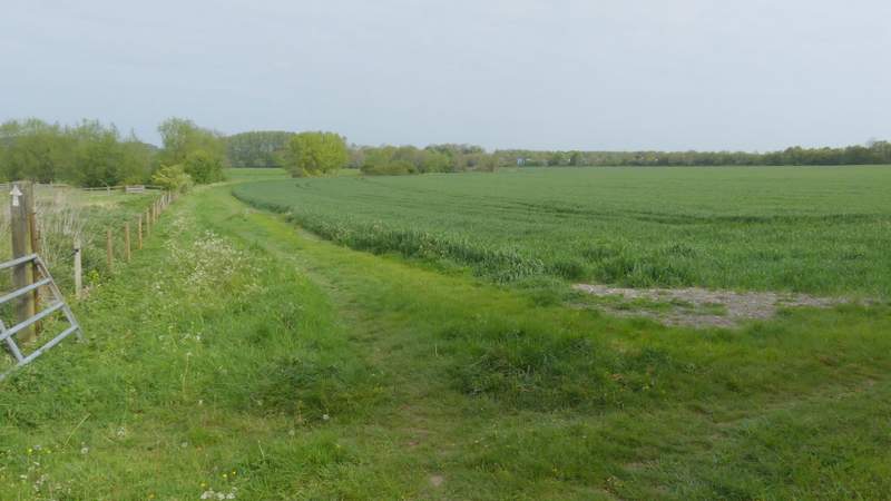
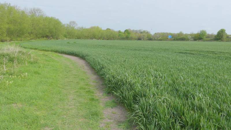
At the foot of the slope, near Hill Farm, the 'road' turns slightly left and becomes a surfaced lane. The path down Linky Down joins it here, so for the next two or three hundred yards I was on familiar territory again. But when I continued along the lane after the Ridgeway crossed it, I was treading new ground again and would not be back on familiar territory for several miles until I reached a lane at Crowell Hill. The lane continued for about half a mile to reach the B4009 road close to an M40 junction on my right (there was a lot of parking spaces here, people park here and commute to and from London on buses along the motorway - a somewhat extreme example of a 'park and ride', I suppose!). Across the road, a short path went down a flight of large concrete slabs and then entered the village of Lewknor. On coming to a junction, I turned right, with The Leathern Bottle pub now on my left. I soon crossed Church Road, and a little further on I took a path on the left that seemed to cross the village school's playground to reach the churchyard. I took a path that went to the right of the church. Continuing from the churchyard the path followed the left edge of a huge corn field, with an embankment carrying the M40 on the other side of the field. There was a ditch or stream over the fence on my left, and the path followed the field edge as it curved right and then left and then right again. When the stream and fence both turned sharply left, the path went straight on across the field to reach the motorway embankment, where it turned left.
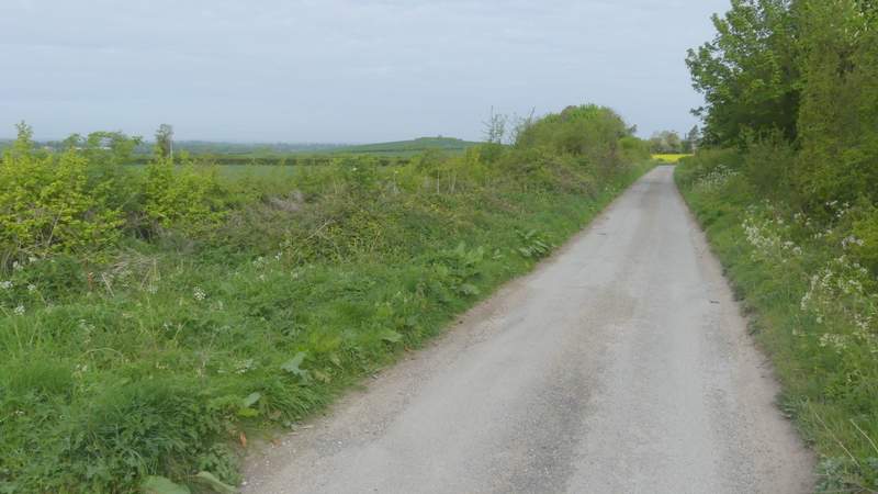
Hill Road (after it becomes a surfaced lane at Hill Farm)
Hill Road (after crossing the Ridgeway)
Hill Road, heading towards Lewknor
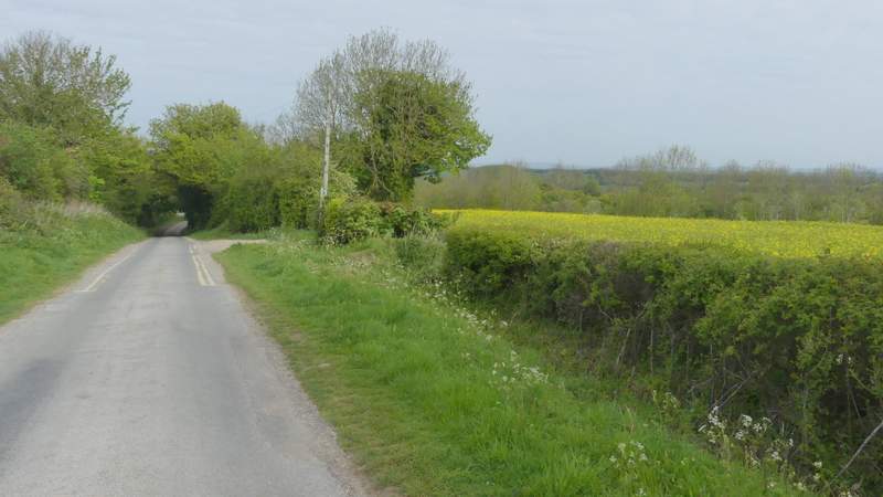
Hill Road, heading towards Lewknor
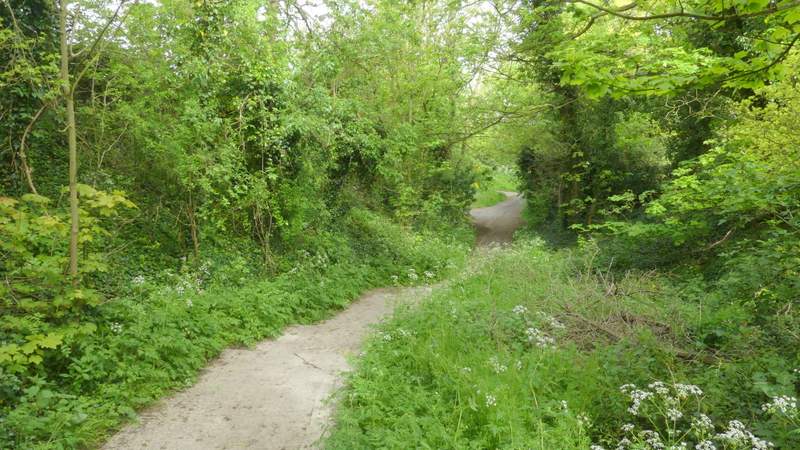
The path into Lewknor after crossing the B4009
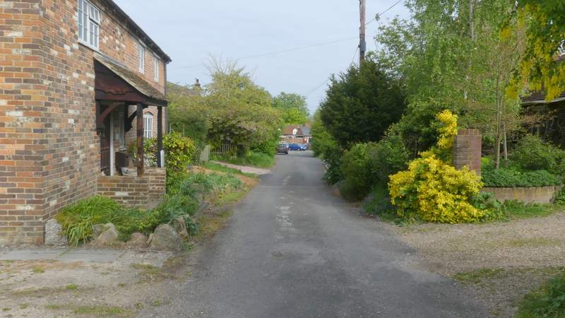
The street into Lewknor
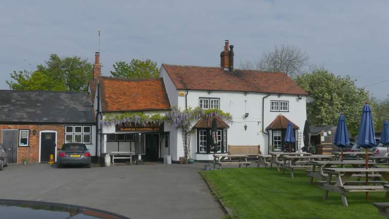
The Leathern Bottle, Lewknor
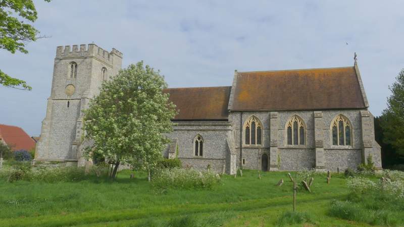
Lewknor church
The start of the path from Lewknor church
The path from Lewknor church
The path from Lewknor church, crossing the field to the M40 embankment