Pete's Walks - Cowleaze Wood, Crowell, Stokenchurch (page 2 of 7)
If you are considering walking this route yourself, please see my disclaimer. You may also like to see these notes about the maps and GPX files.
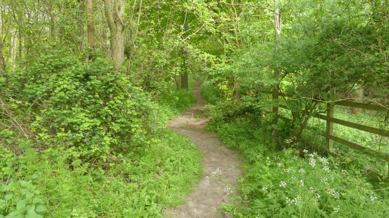
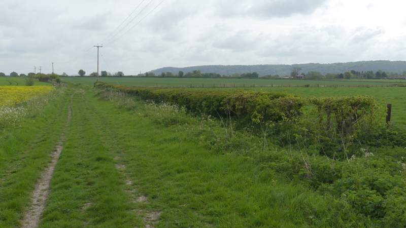
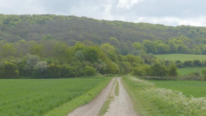
The path continued along the edge of the field next to the motorway embankment as far as the field corner, where it continued through a small wood to reach a bridleway (Nethercote Lane). Here I turned right, starting the roughly two-mile section where I'd be walking northeast towards Chinnor, parallel to the Chiltern escarpment a mile or so away to my right. I immediately passed under the motorway and continued along the bridleway which ran through a tree belt - there was a concrete surface under just a smattering of mud and dead leaves here. After about a quarter of a mile I reached the A40, across which I went a few yards left then continued along a byway (the fingerpost said 'Byway leading to bridleways only').
There is a very ancient route called the Icknield Way that runs along the bottom of the Chiltern escarpment, and I know that in places it was actually a number of parallel and interconnected tracks. In fact, in some places the OS map shows both a Lower Icknield Way and an Upper Icknield Way. As I walked along the byway, I wondered if it was part of the various Icknield Ways. But it's only since I've started writing up this report that I've noticed the OS map, which I used to guide me throughout this walk, has 'Lower Icknield Way (Track)' written alongside the byway! So I'm not sure whether I should feel smug for being right, or feel stupid for not reading something almost literally under my nose!
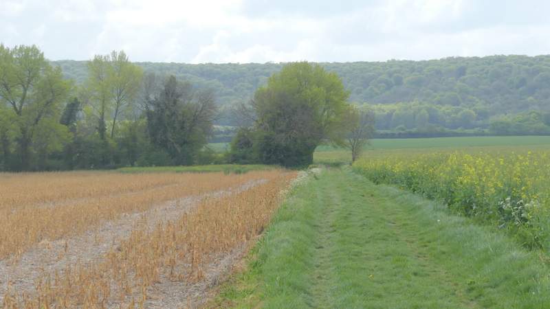
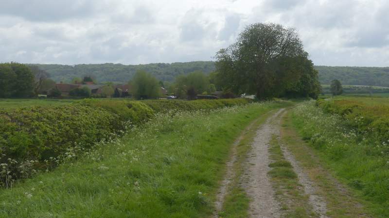
The byway ran as a generally grassy and broad track between fields for about half a mile, then it ended at a junction where I went half-right along a bridleway for a few yards before turning half-left at another junction, to resume the same northeasterly direction as before (more precisely, it was more ENE than NE). The bridleway again was a broad and grassy track between fields, sometimes with a hedge on one or other side, occasionally on both. Most of the time now I had could see a heavily wooded section of the Chiltern escarpment a mile or so away to my right. Just over half a mile from the junctions I came to a lane.
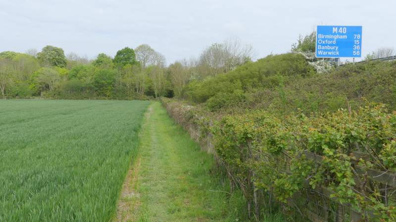
The path continuing beside the M40
The path continuing beside the M40
The bridleway after I turned right and passed under the M40
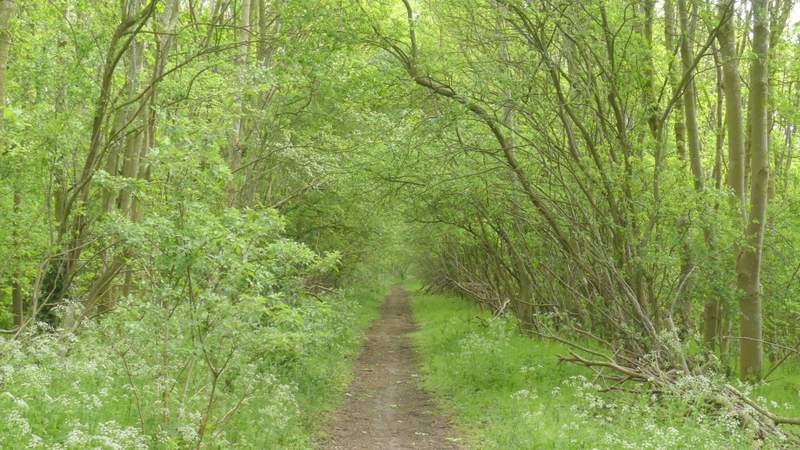
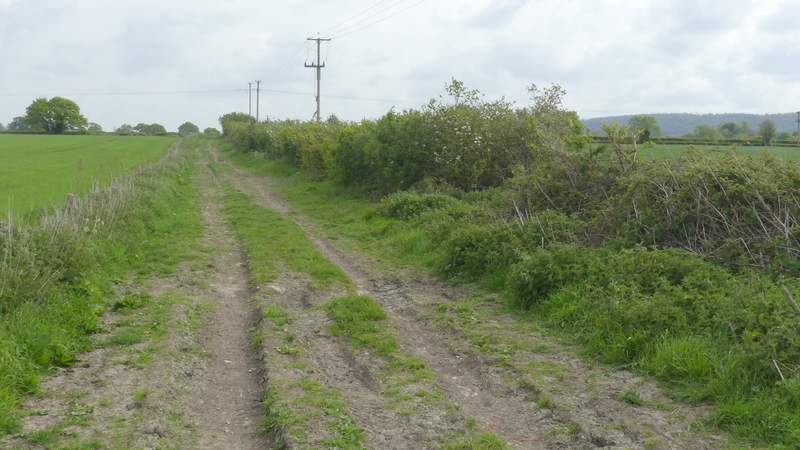
The start of the byway (Lower Icknield Way) after I crossed the road
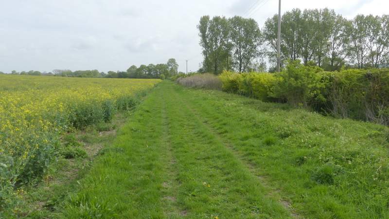
Lower Icknield Way
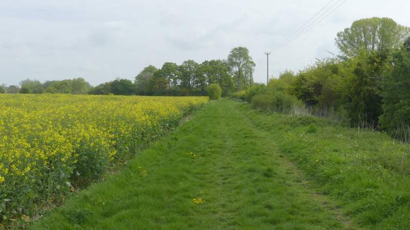
Lower Icknield Way
Lower Icknield Way (after the two junctions)
Lower Icknield Way
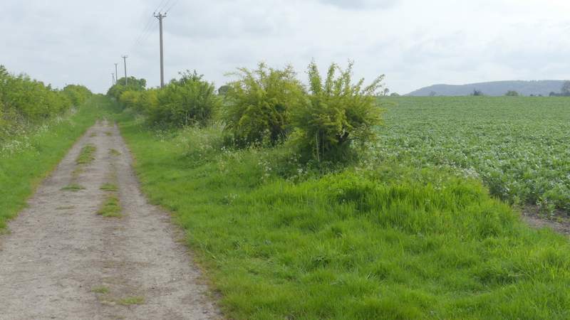
Lower Icknield Way
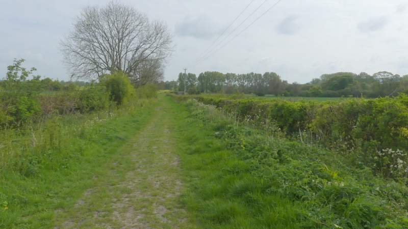
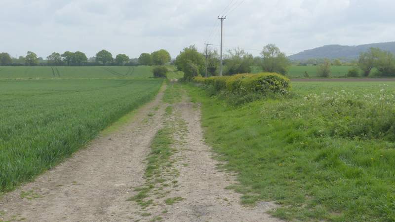
Lower Icknield Way (approaching the lane)
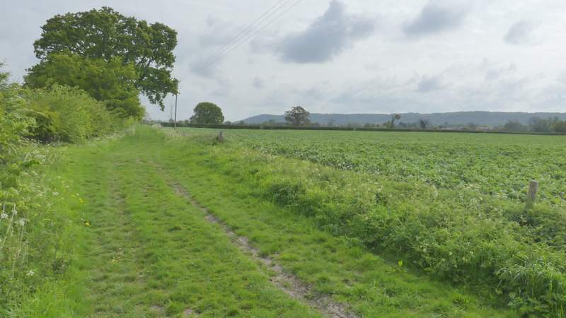
I continued along Lower Icknield Way after crossing the lane, following it for about another third of a mile. I then turned right along a bridleway (I didn't see the waymark post indicating this junction until I'd almost reached it, but a finger-post indicating a path going left a little further on had been visible for some time). Incidentally, the OS map shows a path should have gone further right here, but there was no evidence of it in the crop of oil-seed rape it should have crossed. The bridleway ran for about half a mile to Crowell, with the long line of the wooded Chiltern escarpment ahead of me, another half a mile or so the other side of the village - I could also see houses on the edge of Chinnor, about half a mile to my left. I've driven through Crowell literally hundred of times on my way to and from various walks I've done (including this morning, when I'd checked where this bridleway ended as I passed by), but this was the first time I'd walked through it. The byway ended at the B4009 minor road (I'd crossed it earlier near the M40 at Lewknor) on the southwestern edge of Crowell, where I turned left, with the village church across the road. I then turned right along the sole short lane in this small village, passing the Shepherd's Crook pub on my right. Though marked on the OS map as a lane (i.e. coloured yellow, in this case with dashed borders indicating no hedges or other boundaries either side) in fact once it left the few houses of Crowell it was just a track (the map was correct about the lack of hedges, etc.).
Lower Icknield Way (after crossing the lane)
The bridleway to Crowell, after I turned right from Lower Icknield Way
Approaching Crowell
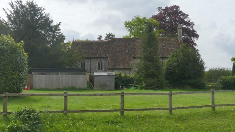
Crowell church
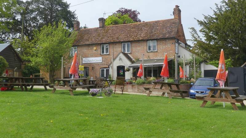
The Shepherd's Crook, Crowell
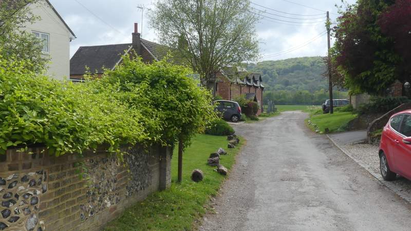
The lane through Crowell
The lane continuing from Crowell (it becomes a byway where the trees start on the left)