Pete's Walks - Maidensgrove Common and Moor Common (page 1 of 6)
If you are considering walking this route yourself, please see my disclaimer. You may also like to see these notes about the maps and GPX files.
I did this circular walk of about 14.3 miles on Friday, 28th June 2019. It was a repeat of a walk I did in July 2017, and I chose to do it today so that I could see the orchids at Moorend Common.
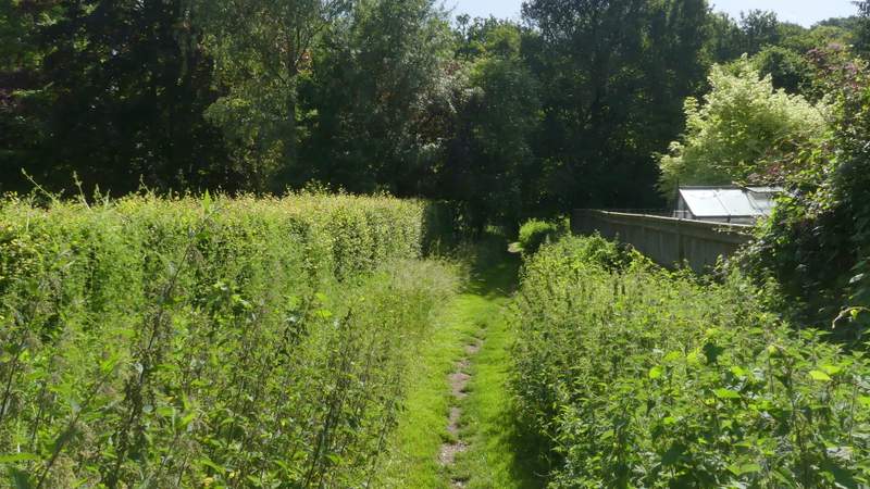
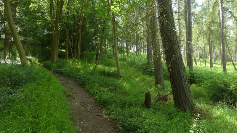
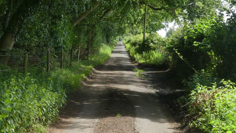
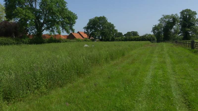
I parked on Maidensgrove Common where the lane crosses it (grid reference SU 717886) and started walking about 9.55am. I followed the lane across the common to where it turns right (to the Five Horseshoes pub and Russell's Water), where I turned left along the edge of the common (so I had a hedgerow on my right). In the corner of the common I continued down a short track to reach a lane, which I followed to the right until it ended at Lodge Farm. Here I took a path going left, between a cottage and the farm wall on my right. On reaching a field I took a path going half-right across it (I immediately spotted a Painted Lady butterfly here, and would go on to see them in another four or five places on this walk), and then continued through Park Wood. On the far side of the wood, the path started to drop downhill through a large cattle pasture, passing just left of a copse (the cattle were sensibly resting in the shade of the copse). It continued across a corn field, finally running between garden fences to reach the road through Stonor.
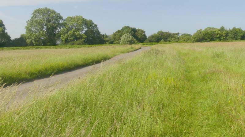
The lane across Maidensgrove Common
The path along the edge of Maidensgrove Common)
The lane in Maidensgrove
The path from Lodge Hill to Park Wood
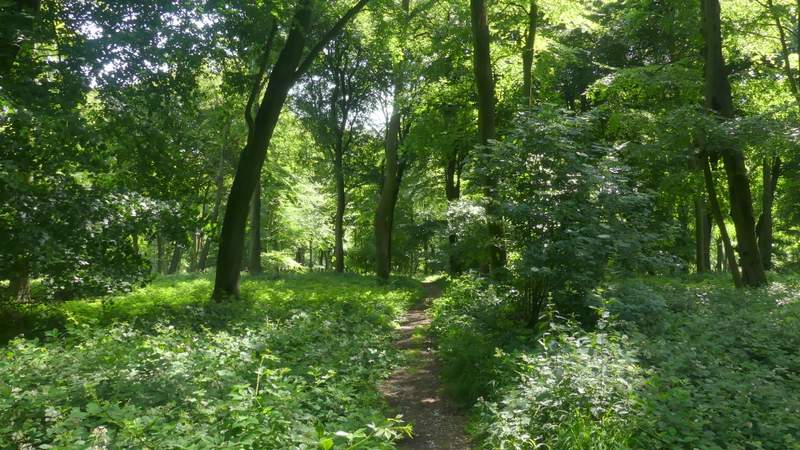
The path continuing through Park Wood
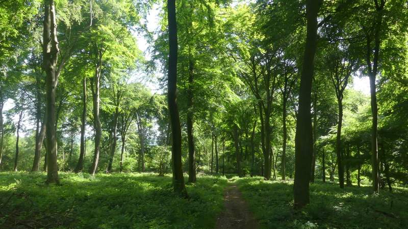
The path continuing through Park Wood
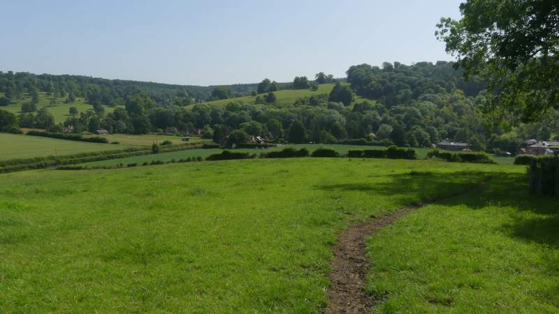
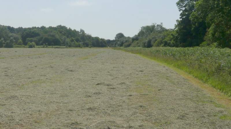
The path continuing from Park Wood downhill to Stonor
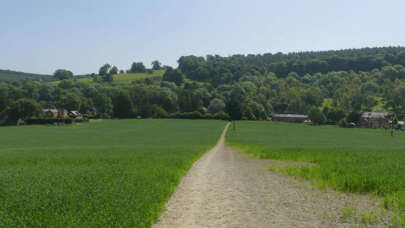
The path continuing from Park Wood downhill to Stonor
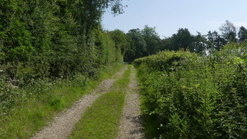
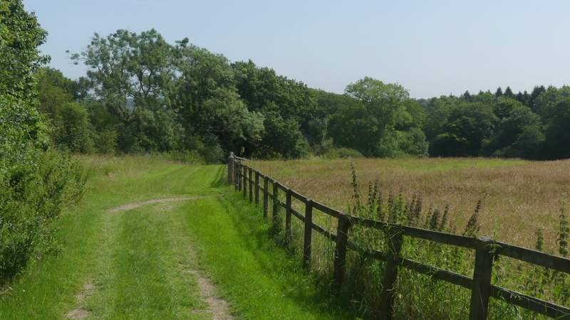
I went a few yards left, then took a bridleway on the other side of the road. Beyond some gardens it started to climb steeply up through Almshill Wood, following the tall fence of Stonor deer park on my left. After curving right the gradient eased, but it was still uphill until I reached the far edge of the wood. Here I turned left, following a track from Coxlease Farm to reach a bend in a lane, where I went straight on. I now followed the lane for over half a mile - it was very flat here, so I could get this section over quite quickly, but the lane was pleasant enough anyway and I was only passed by one or two cars (as I was when i did this walk last year).
The start of the bridleway from Stonor
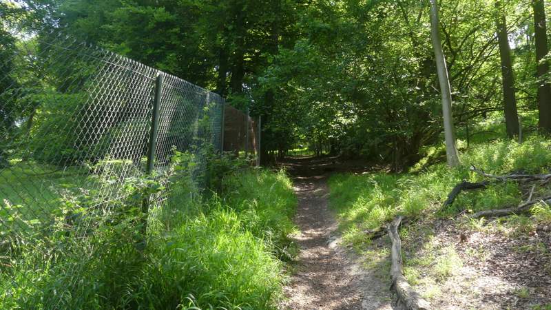
The bridleway from Stonor rising up through Almshill Wood, beside the fence of Stonor deer park
The bridleway from Stonor rising up through Almshill Wood
The drive from Coxlease Farm
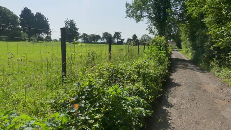
The half-mile lane section
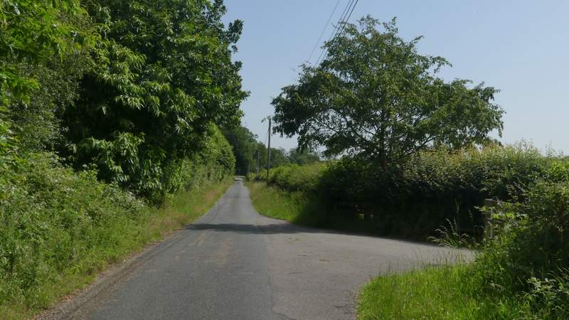
The half-mile lane section
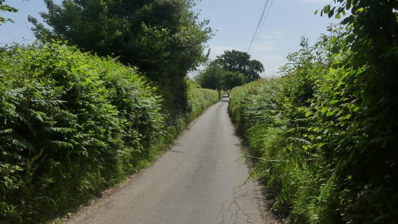
The lane approaching Kimble Farm
The lane turned right close to a junction with another lane. Two or three hundred yards further on (opposite a large tree in the right-hand hedge), I turned left onto a bridleway that started down the drive to Kimble Farm, with hedges either side. After a short distance I chose to take the permissive bridleway going right (the official bridleway goes straight on and passes through the farm). I passed through an area where a large are of grass had been left uncut for the benefit of wild flowers and insects, then the permissive bridleway ran between a hedge and a paddock fence on my right. It rejoined the official bridleway just before entering Gussetts Wood.
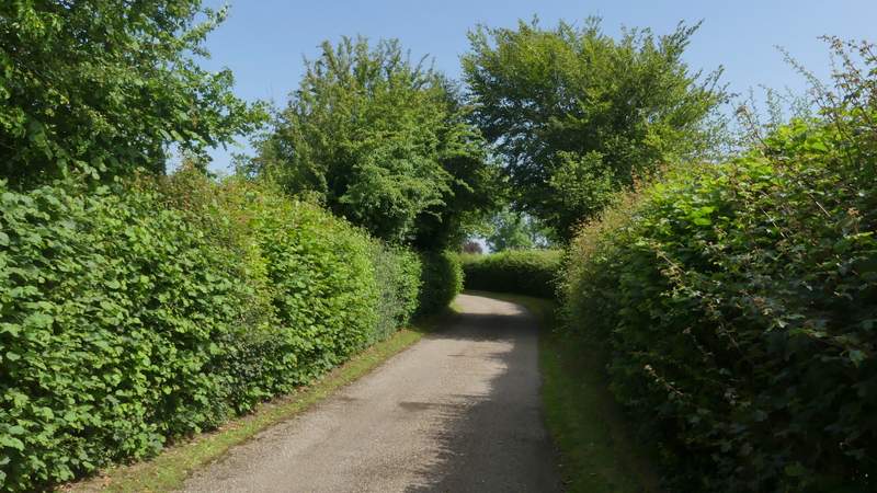
The drive to Kimble Farm
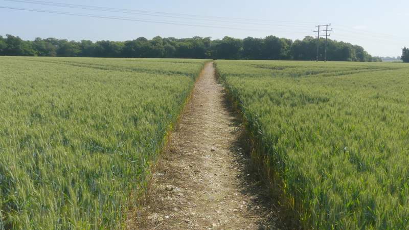
The permissive path near Kimble Farm
The permissive path near Kimble Farm