Pete's Walks- Maidensgrove and Rotherfield Peppard (page 1 of 6)
If you are considering walking this route yourself, please see my disclaimer. You may also like to see these notes about the maps and GPX files.
I did this circular walk of about 14 miles on Sunday, July 21st, 2019. It was a repeat of a walk I first did in May 2012, but this time in the opposite (anti-clockwise) direction (I also did it this way round in 2016). APOLOGIES: as with one or two recent walks, due to time pressures I have largely 'cut and paste' the description here from a previous time I followed the route.
I parked on the lane that crosses Maidensgrove Common (grid reference SU 717886), just outside Maidensgrove itself and started walking about9.05am. I followed the lane away from Maidensgrove to where it turned right along the edge of the common (towards the Five Horseshoes pub and Russell's Water), then took a public byway going straight on. I followed this hedge-lined track for several hundred yards as it made its way down into the wooded Warburg nature reserve (I actually took a 20 minute detour to look for Helleborines in the reserve).
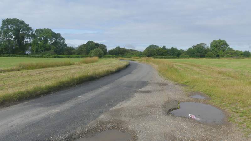
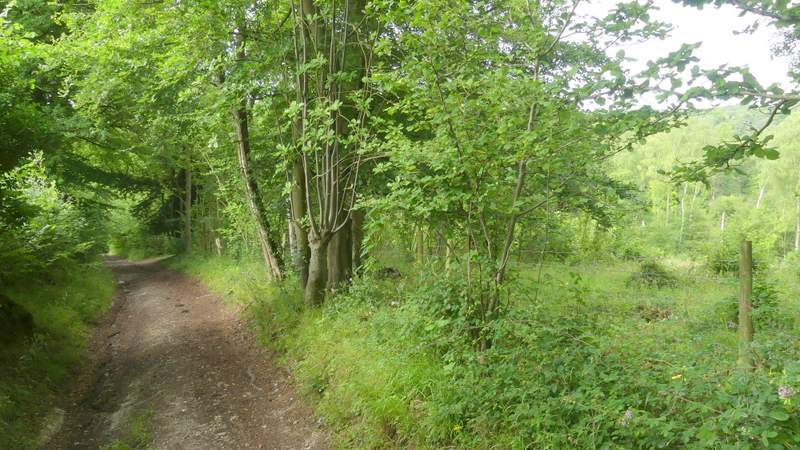
The lane across Maidensgrove Common
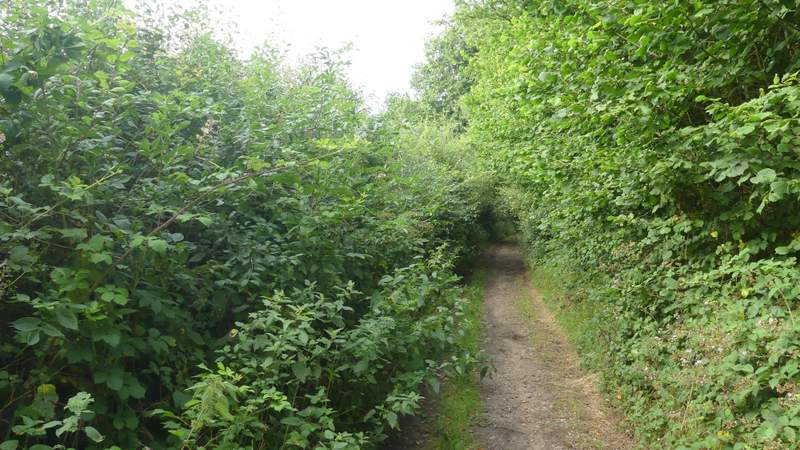
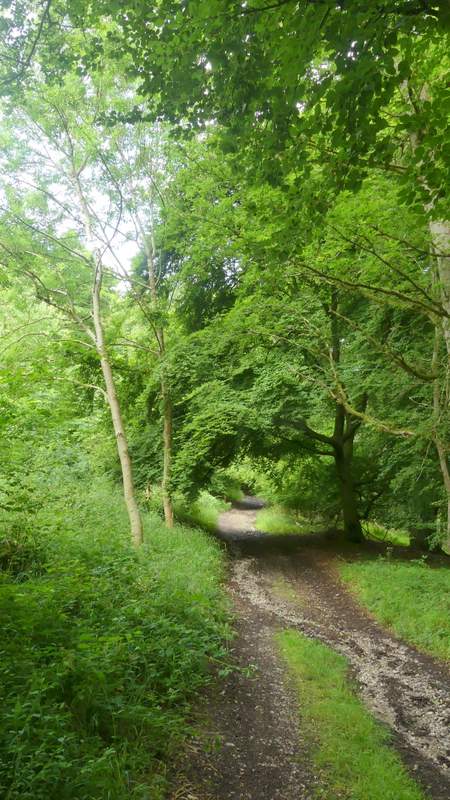
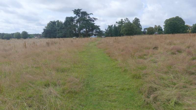
Near the start of the public byway from Maidensgrove Common down to the Warburg nature reserve
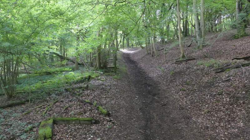
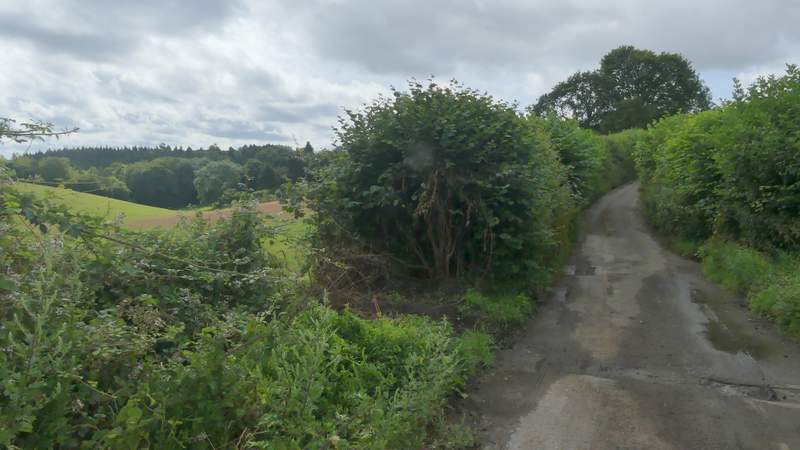
The public byway continuing downhill to the Warburg nature reserve
The public byway continuing downhill to the Warburg nature reserve
The public byway through the Warburg nature reserve
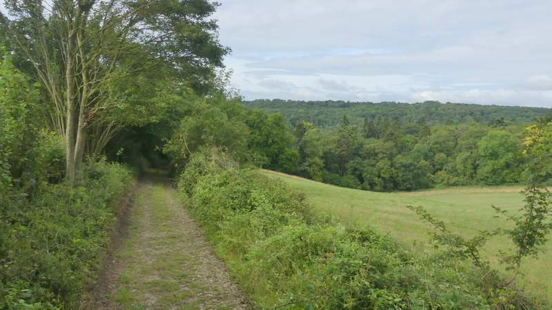
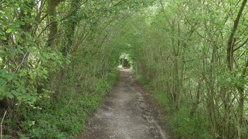
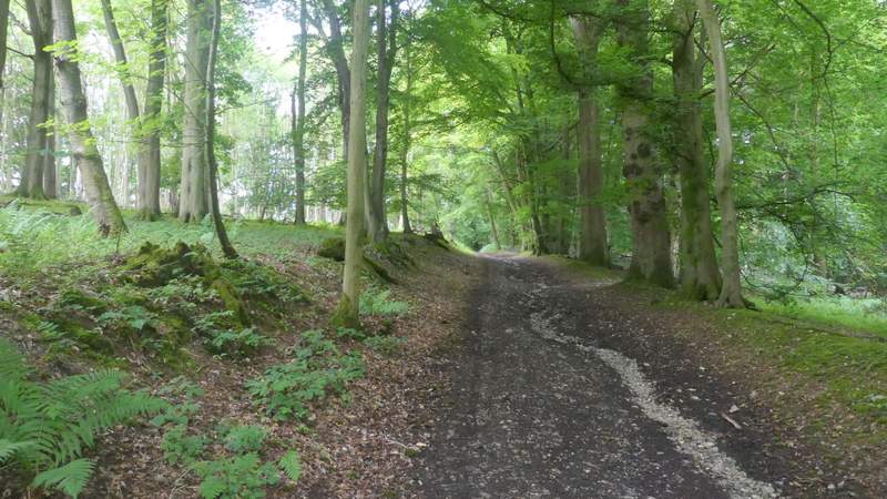
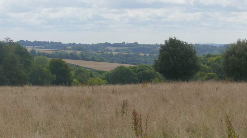
In the valley bottom I went straight on at a crossroads of byways, the one I was on soon bearing left and going a short way uphill before turning right and levelling out. The byway son dropped slightly to another valley bottom and another crossing of byways. Again I went straight on, the byway climbing steadily uphill through more of the Warburg woods. After the byway levelled out there were soon fields on my left with the woods still on my right.
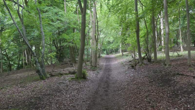
The public byway going uphill again through the Warburg nature reserve
Further along the public byway
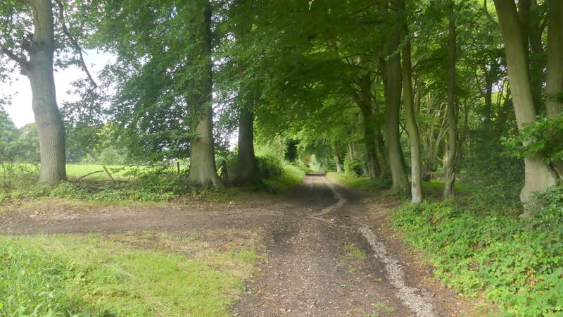
Approaching the second byway junction (I went straight on, there is no right of way going right)
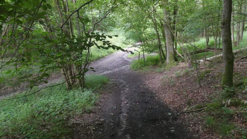
Further along the public byway
Further along the public byway
Further along the public byway
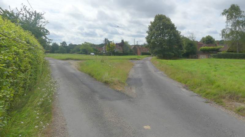
Eventually the byway became a surfaced track, near Soundess Farm. A short distance further on I took a footpath going half-left across what was (or once was) the park land around the nearby Soundess House. This path led me to Crocker End, where I went slightly left along a lane across the green. I went right at a lane junction, and followed the lane from Crocker End about a quarter of a mile to Catslip. I then carried on along the lane a short distance to reach a main road, the A4130.
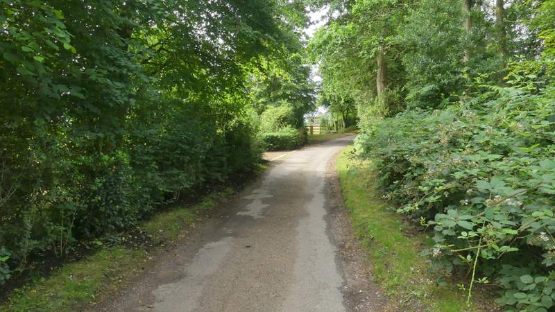
The track or drive near Soundess Farm
The footpath to Crocker End
View left from the path to Crocker Green
Crocker End (I took the lane forking right across the green)
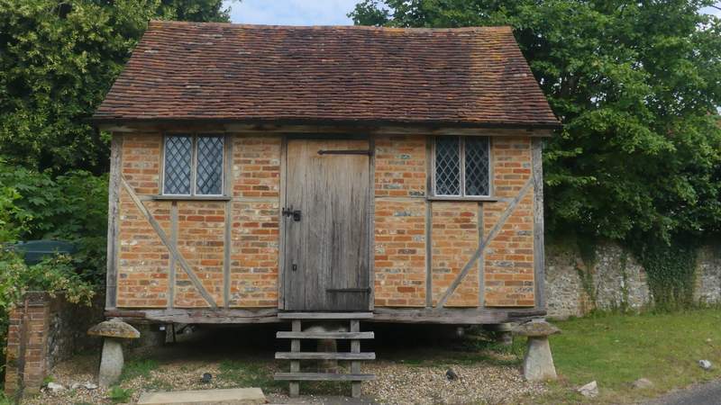
Old granary in Crocker End
The lane from Crocker End to Catslip/p>

The lane continuing from Catslip