Pete's Walks- Maidensgrove and Rotherfield Peppard (page 2 of 6)
If you are considering walking this route yourself, please see my disclaimer. You may also like to see these notes about the maps and GPX files.
I crossed the A4130 and continued along a bridleway through Lowercommon Wood. After a while this turned right, then turned left for a short way before turning right again. At some point the wood became Oxlands Wood. I went straight on over a byway, and was soon in Highmoor Common Wood. I kept left at a junction with another path, and then went straight on when I reached a corner of a surfaced drive, soon passing a large house on my left named Merrimoles on the OS map. When I reached a path junction near some houses at Lower Highmoor, I continued straight on along the drive and followed it to its end on a road in Highmoor.
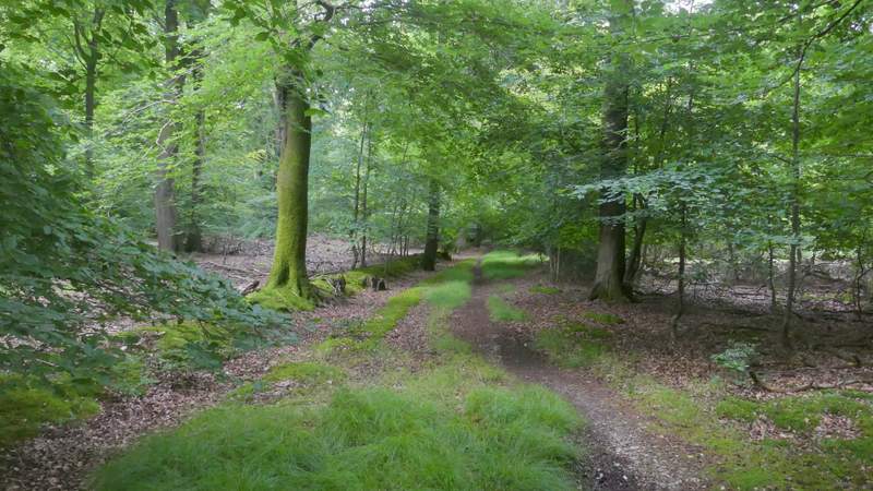
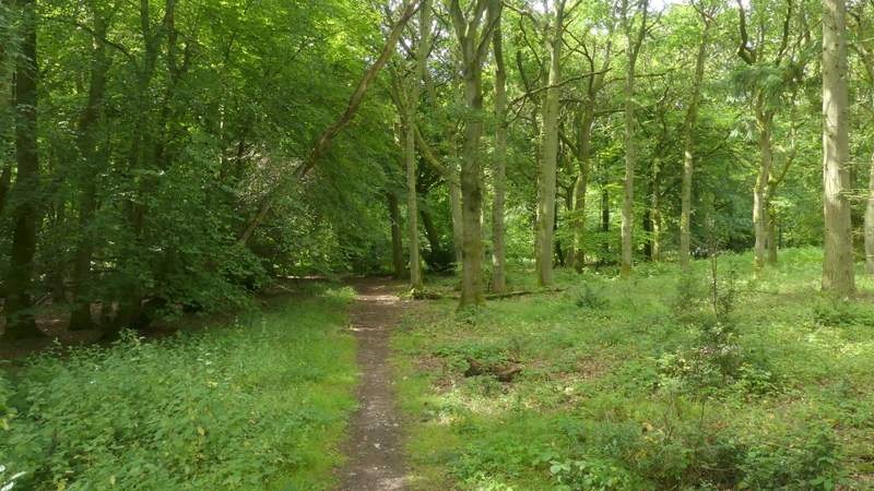
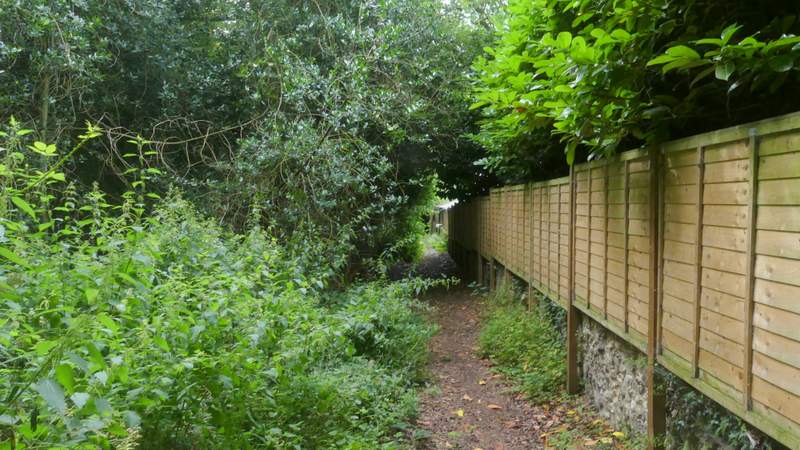
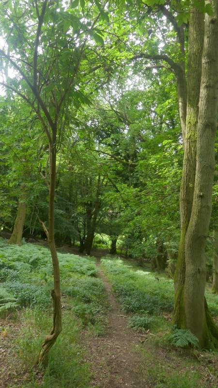
The bridleway through Lowercommon Wood
The bridleway through Lowercommon Wood
The bridleway through Lowercommon Wood
The bridleway through Lowercommon Wood
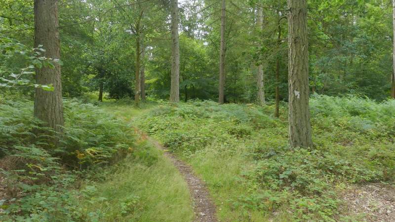
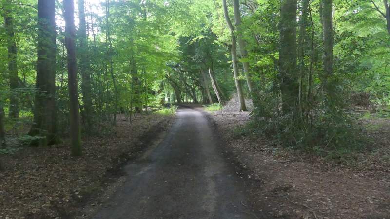
The path through Highmoor Common Wood
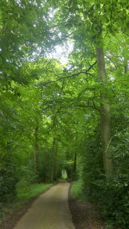
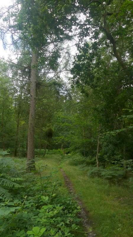
The drive from Merrimoles, heading to Highmoor
The drive from Merrimoles, heading to Highmoor
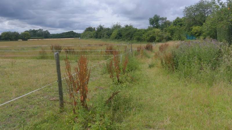
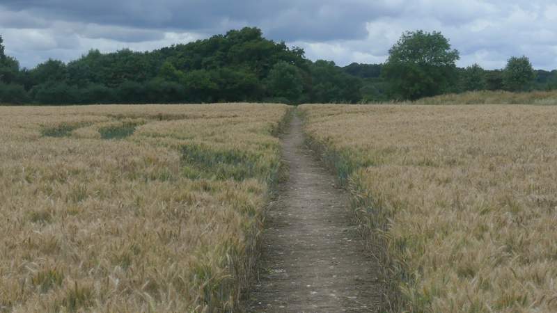
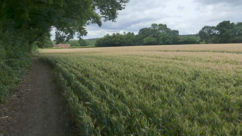
I went a few yards right along the road and took a footpath on the other side. This started down the right of a drive, then continued between fences to enter a small area of woodland. I soon came to a path cross roads where I turned left, with a fence then the wall of a barn or outbuilding on my right. The path soon turned right along a gravel drive between the hedges and gates of some properties at Highmoor Farm. A sign or waymark by a gate then indicated where the path continued, running between fences along the edge of a large paddock on my left. The path then went on across an arable field, before going through two gates either side of a track and following the left-hand hedge of another arable field. The path took me to some properties at Witheridge Hill, where I went a few yards left before taking a path on what was now my right. This followed a garden fence on my left with a small bit of woodland on my right, and soon brought me to a lane. I went a short way right, but couldn't see where a path (not a public footpath) enters the wood here, so I just went a few yards left into the wood and then turned further left, almost parallel to the lane. I managed to find the path and followed it downhill to a road. This is an Open Access area, so I could have just made my way straight downhill through the trees to reach the road. I turned left along the road (going right would have taken me into Stoke Row).
The path from the road at Highmoor
The path near Highmoor after I turned left
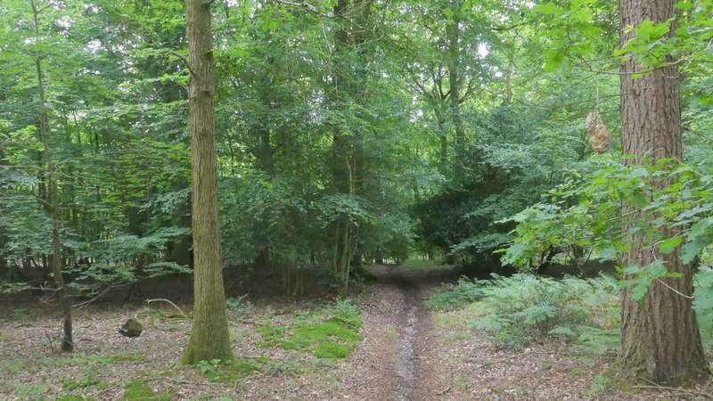
The path from near Highmoor Farm
The path from near Highmoor Farm
The path from near Highmoor Farm
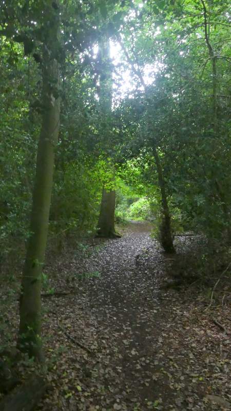
The path through the Open Access area at Witheridge Hill
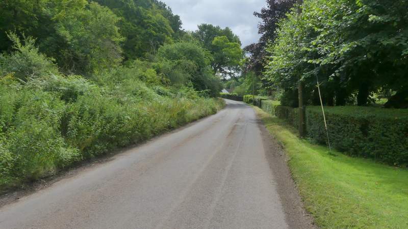
The road near Witheridge Hill