Pete's Walks- Maidensgrove and Rotherfield Peppard (page 3 of 6)
If you are considering walking this route yourself, please see my disclaimer. You may also like to see these notes about the maps and GPX files.
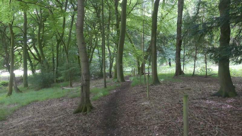
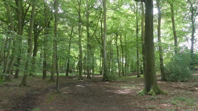
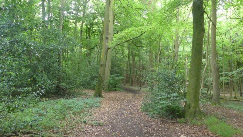
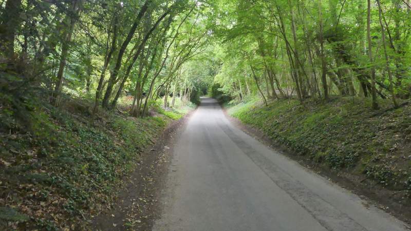
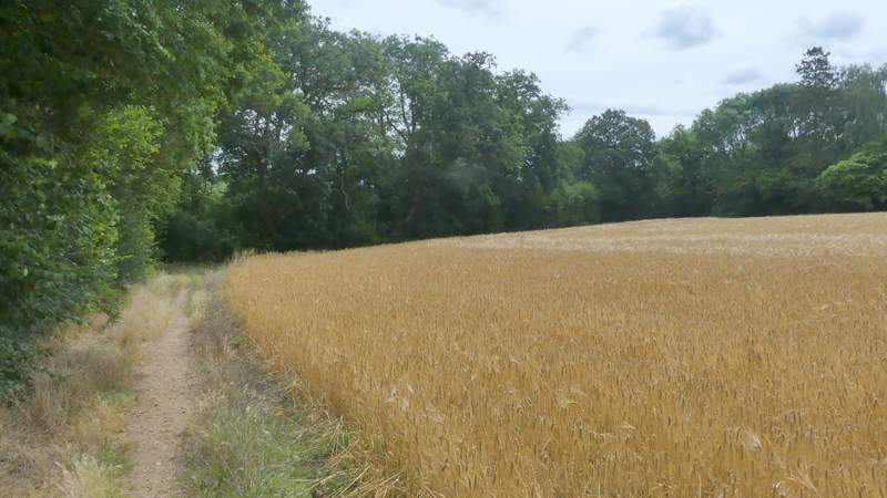
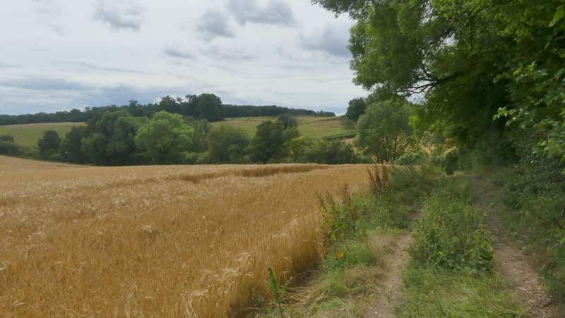
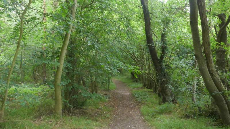
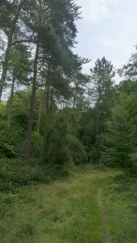
When the road curved sharply left, I turned right onto a footpath. This soon turned left, and followed a valley bottom through Greyhone Wood. There was now a charming section of over a mile through Greyhone, Oveys and Greatbottom Woods, the tree leaves being almost dazzlingly green at times in the summer sunshine.
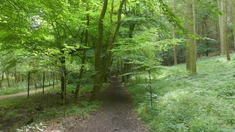
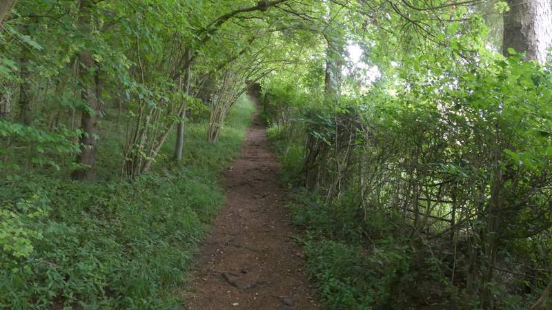
The bridleway through Oveys Wood
The bridleway through Greyhone Wood

The bridleway through Greyhone Wood
The bridleway through Greyhone Wood
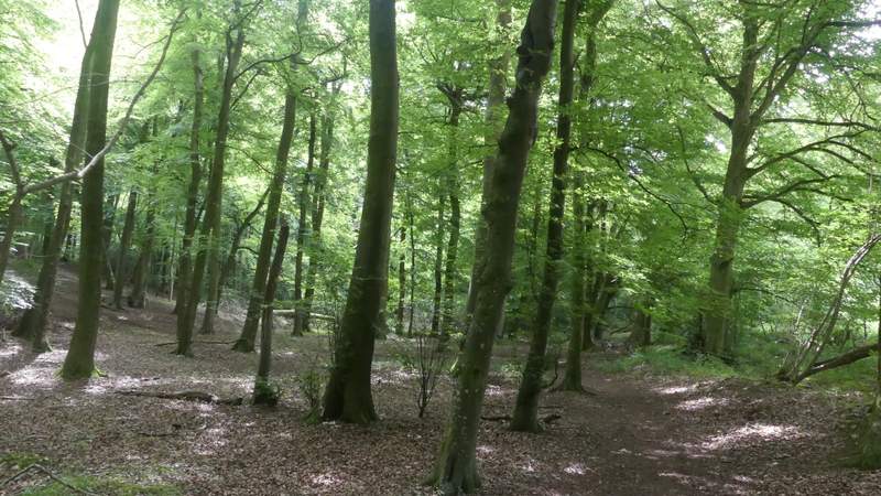
Greatbottom Wood
Greatbottom Wood
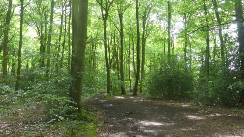
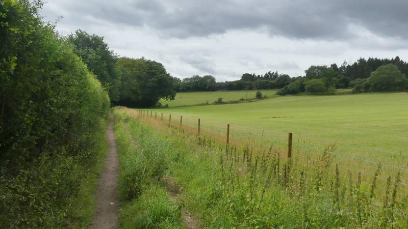
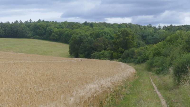
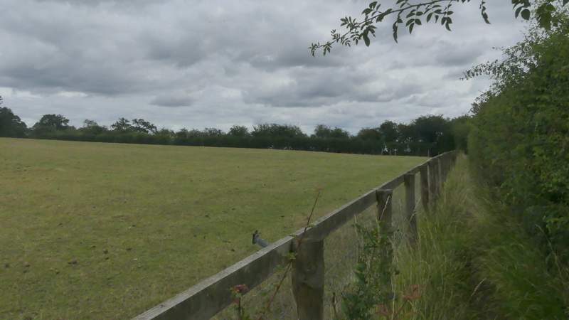
Beyond Greatbottom Wood the bridleway continued a little way between fields before entering another wood, Littlebottom Wood. On the other side of this wood I reached a lane, where I went left (almost straight on) and uphill, keeping right at a junction, to reach Rotherfield Peppard.
The bridleway continuing from Greatbottom Wood
Littlebottom Wood
The bridleway approaching the lane to Rotherfield Peppard
The lane to Rotherfield Peppard
I crossed over the road here and walked straight on across a large green towards the village school. I continued more or less straight on down a village street, and passed the village church (dating from 1233 according to a sign outside) on my left. At the end of the street, a footpath went a few yards right and then turned left along the edge of a field. The path turned right at a field corner and when I reached the next field corner it went through a gap between a hedge and a small wood, continuing beside the wood (on my right). The path turned left in the next field corner and soon came to a path junction (where a track came in on the right) - the bridleway that the OS map shows going through a meadow on the right here at Bottom Barn has clearly been diverted, as signs and waymarks indicated that I just had to go straight on here.
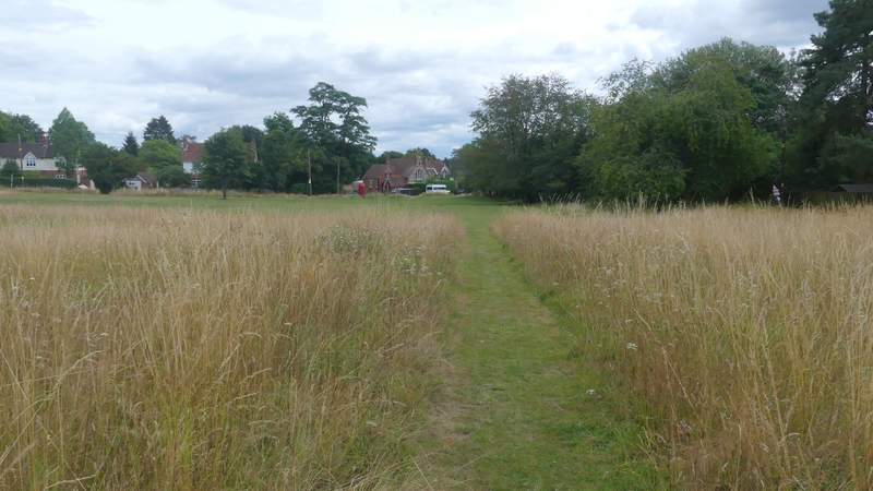
Crossing the green towards the school at Rotherfield Peppard
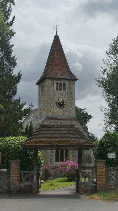
Rotherfield Peppard church
The path from Rotherfield Peppard
The path from Rotherfield Peppard
The path from Rotherfield Peppard
The path from Rotherfield Peppard
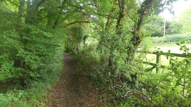
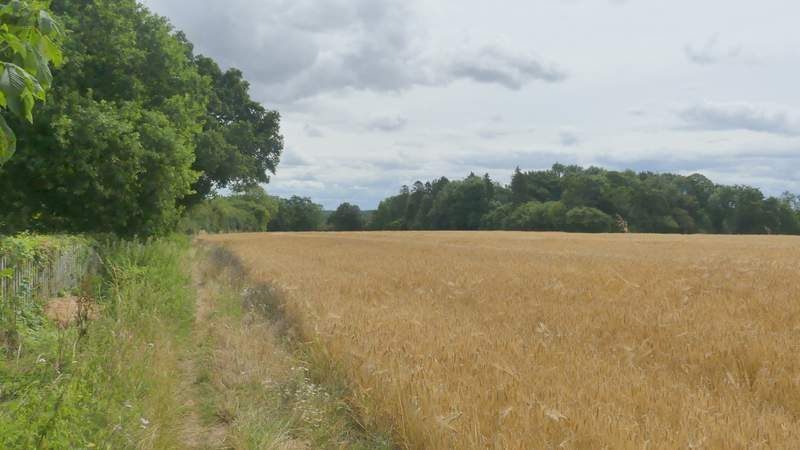
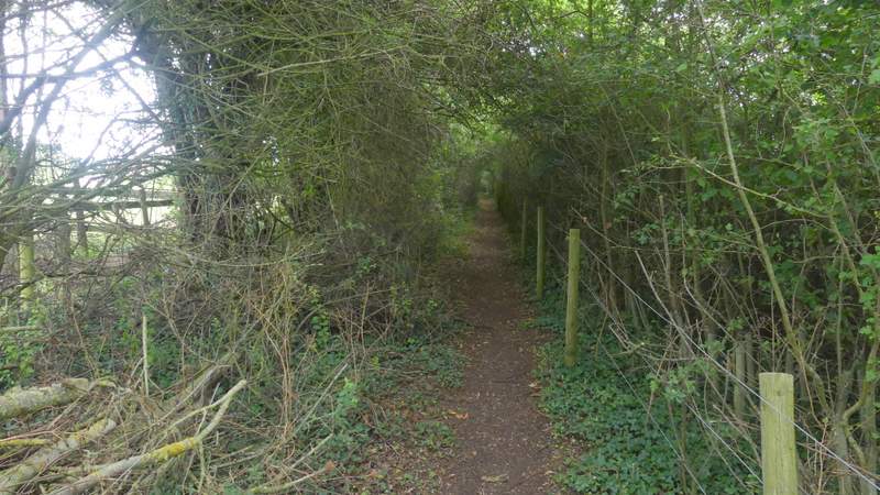
In the next field corner I turned right and entered Flowercroft Wood. The path soon turned left and followed a valley bottom through the attractive wood. On the far side I turned left at a path T-junction, and climbed steeply uphill along the edge of the wood. The path levelled out and ran past some pastures, than ran between hedges either side to reach a public byway called King's Farm Lane.
Flowercroft Wood>
Flowercroft Wood
The path going uphill along the eastern edge of Flowercroft Wood
The path continuing towards King's Farm Lane
The path continuing towards King's Farm Lane