Pete's Walks - Shortened version of Ashridge Estate Boundary Trail (page 3 of 5)
If you are considering walking this route yourself, please see my disclaimer. You may also like to see these notes about the maps and GPX files.
On reaching a path crossroads by a field corner, I turned left off The Ridgeway and followed a path beside a fence on my right. After a while the path left the fence, and started uphill through some bushes. Over a stile, it followed a track up the now wooded slope to reach the main track from near Ivinghoe Beacon to the Bridgewater Monument in the centre of Ashridge. I turned right and followed the track, which soon passed a kennels near the top of Clipper Down. I continued on the track for about another mile as it ran through the woods of Ashridge, with a steep slope on my right. I passed one or two spots where there were nice views out to my right, towards Aldbury and its environs. I passed a wooden chalet and then the badly overgrown ancient burial mound on Moneyburyhill (where there was a noticeboard), before the track brought me to the Bridgewater Monument.
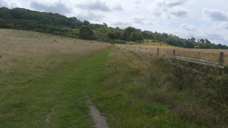
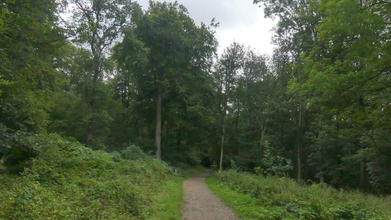
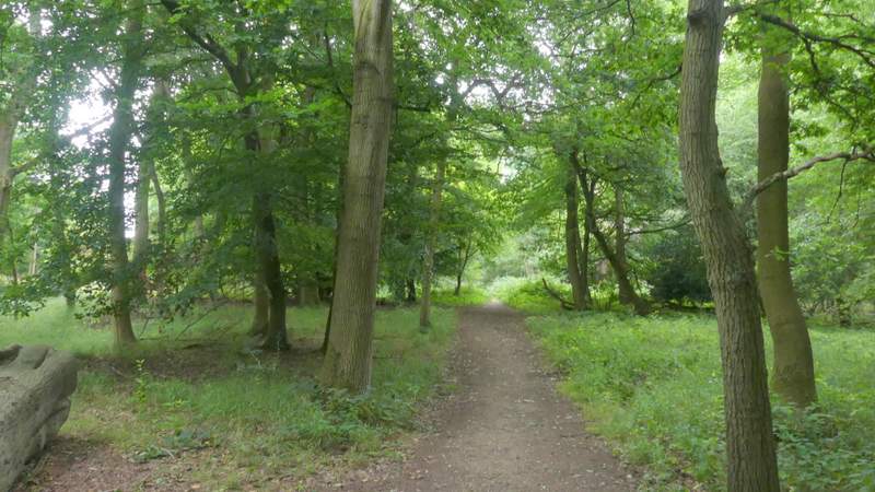
The path after I turned left off The Ridgeway
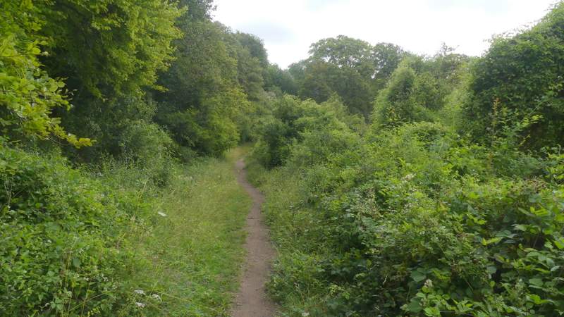
The path continuing to the woods of Ashridge
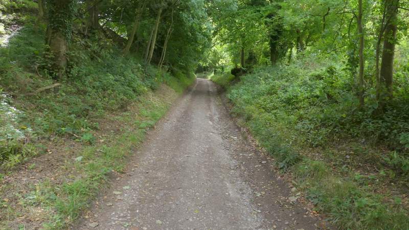
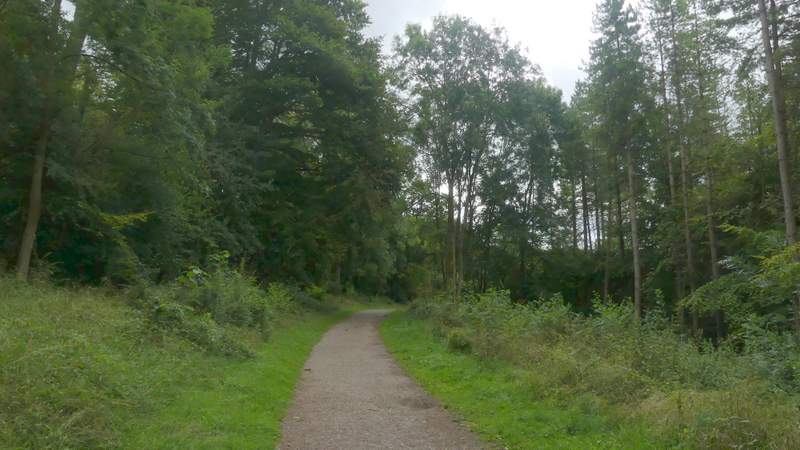
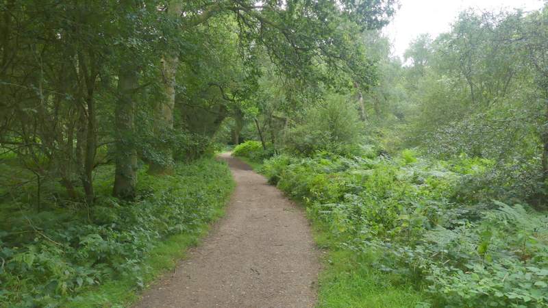
The long track to the Bridgewater Monument at Ashridge (just before the kennels)
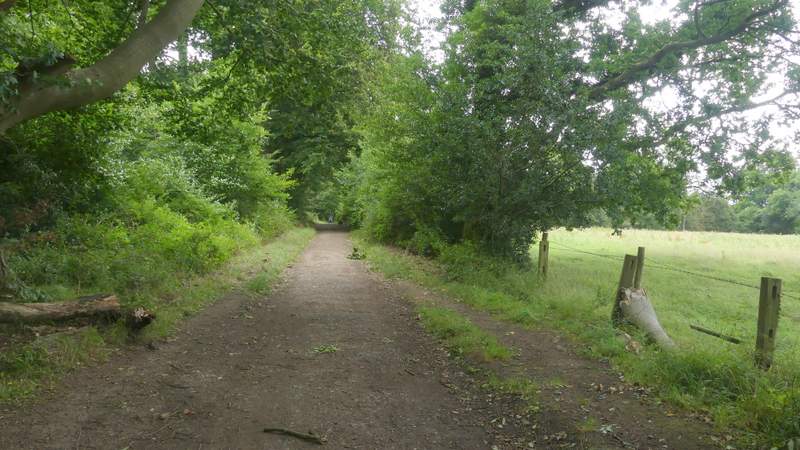
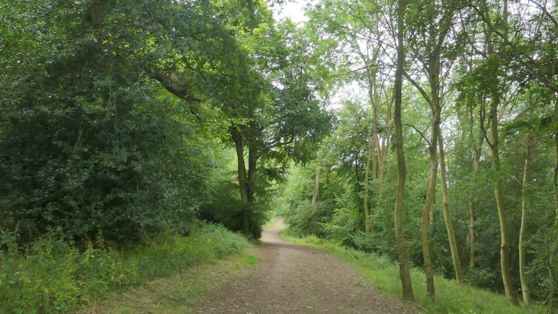
The long track to the Bridgewater Monument at Ashridge
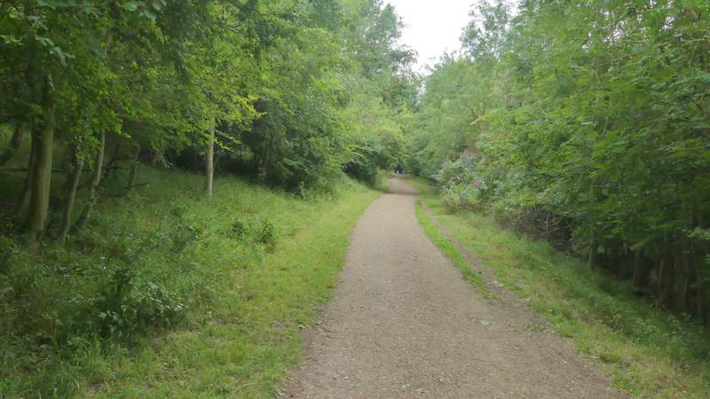
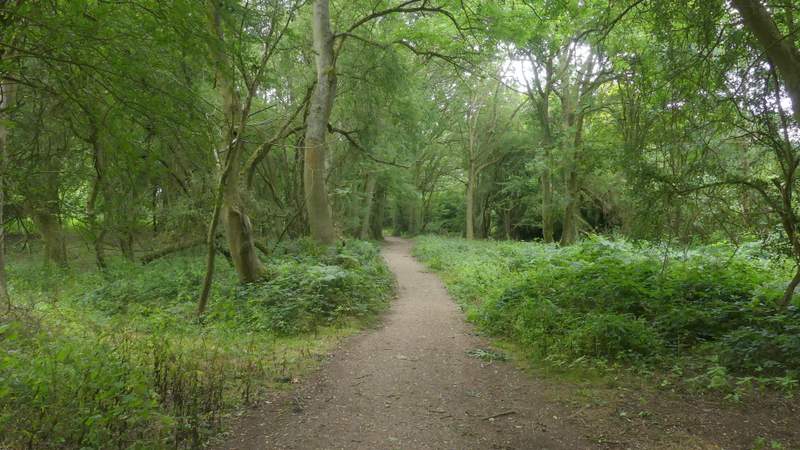
The long track to the Bridgewater Monument at Ashridge
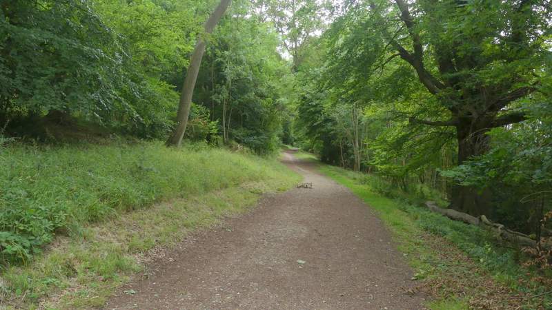
The long track to the Bridgewater Monument at Ashridge
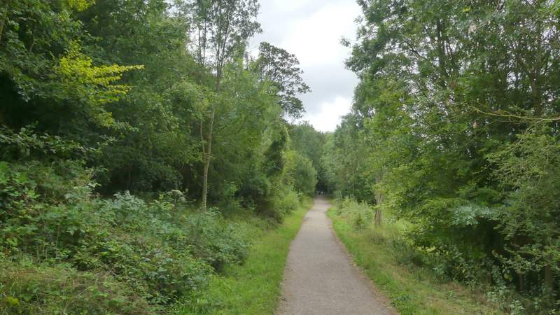
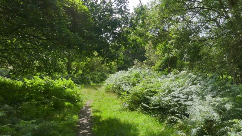
The long track to the Bridgewater Monument at Ashridge
The long track to the Bridgewater Monument at Ashridge
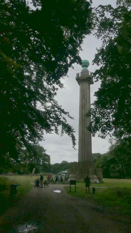
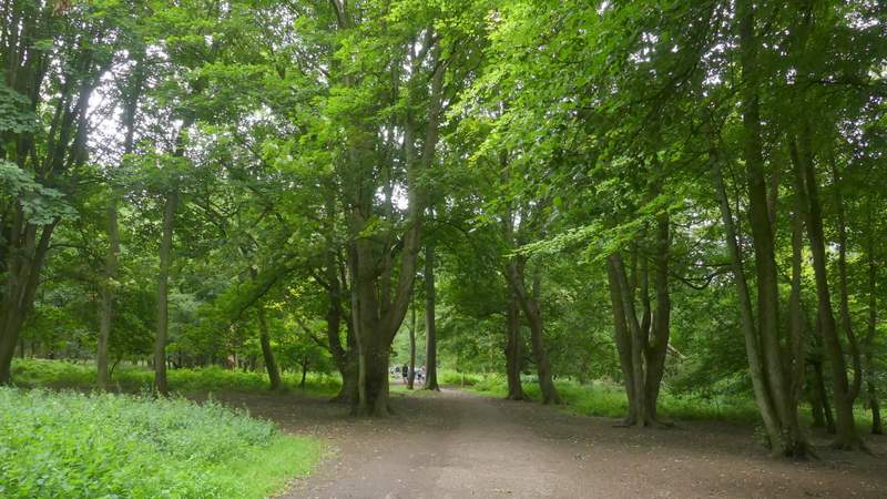
The Bridgewater Monument at Ashridge
I crossed the grass in front of the monument, and on the far side turned right along a bridleway that, after another path went left, re-entered the woods and started to descend towards Aldbury. After about a quarter of a mile, I came to a fork in the bridleway, where I kept left instead of going down to Aldbury. This bridleway ran level through the woods for about half a mile, with a nice view to the right at one point, looking out over Aldbury. On reaching a junction, I went a few yards right, then turned left, following a narrower bridleway through the trees that crossed a drive and soon reached a road (near Tom's Hill). I continued along the bridleway on the other side, keeping straight on for about another half mile (as usual following the waymarks for the Ashridge Estate Boundary Trail). I then came to a junction, where I went slightly right for a few yards, then turned left at a waymark post and (after another path came in sharply from the left) soon reached the huge open grassland part of Northchurch Common.
The bridleway from The Monument to Aldbury
The bridleway after I forked left from the bridleway to Aldbury

View right, over Aldbury
Further along the same bridleway
The bridleway after I turned right and then immediately left
The bridleway continuing after I crossed the road (near Tom's Hill)
The bridleway continuing after I crossed the road (near Tom's Hill)
Where I turned left from the bridleway to reach the open grassland of Northchurch Common (the OS map shows the bridleway going straight on)