Pete's Walks - Shortened version of Ashridge Estate Boundary Trail (page 2 of 5)
If you are considering walking this route yourself, please see my disclaimer. You may also like to see these notes about the maps and GPX files.
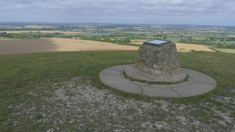
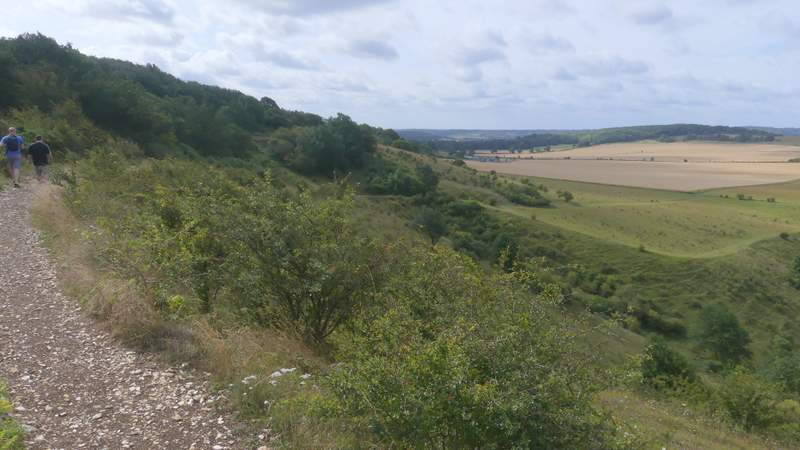
On the far side of The Coombe I went through a gate, the route then carrying straight on across an area of long grass for about a hundred yards before turning right at a waymark post. This path soon went through another gate, and continued along the right edge of a field of stubble. When the line of trees on my right ended, the path carried on across the field to reach a hedge corner, where it continued beside the hedge with a smaller stubble field on my left. I then turned left along a track heading to the lower end of Gallows Hill (where there is a prominent tumulus or burial mound). At the top of this slope, I went through a gate and turned left, and made my way to the top of Gallows Hill, continuing along a grassy ridge, with views over The Vale of Aylesbury on my right, to reach the top of Ivinghoe Beacon. I'd thought of spending 20-30 minutes looking for butterflies around here, but quickly gave up on that idea because of the wind.
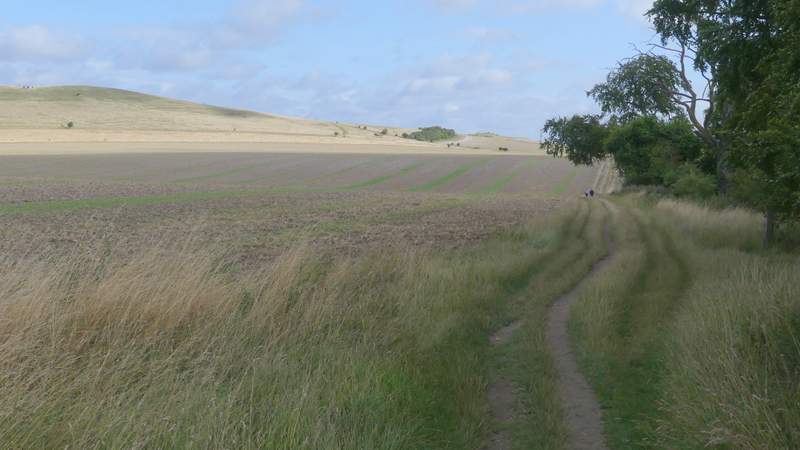
The path after I turned right, running parallel to the Gallows Hill ridge across the field on my left
The path after I turned right, running parallel to the Gallows Hill ridge across the field on my left
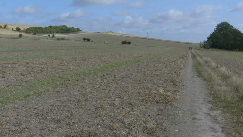
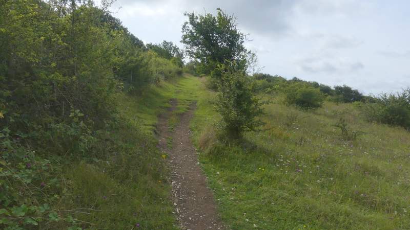
The path up Gallows Hill after I turned left
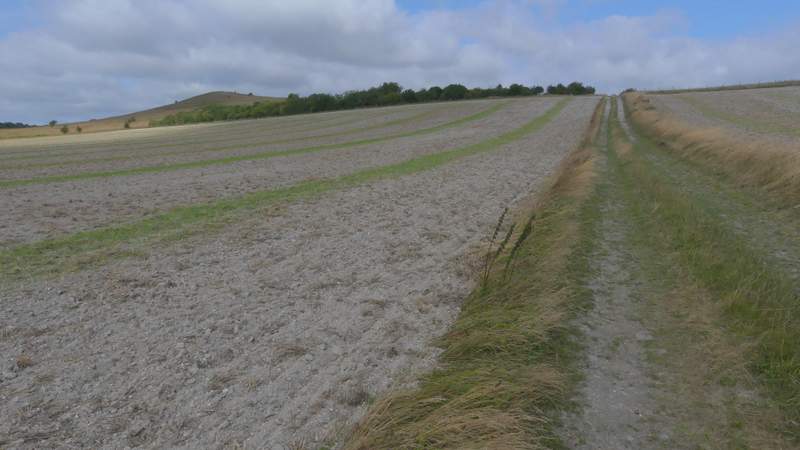
The path up Gallows Hill, from where I turned left again
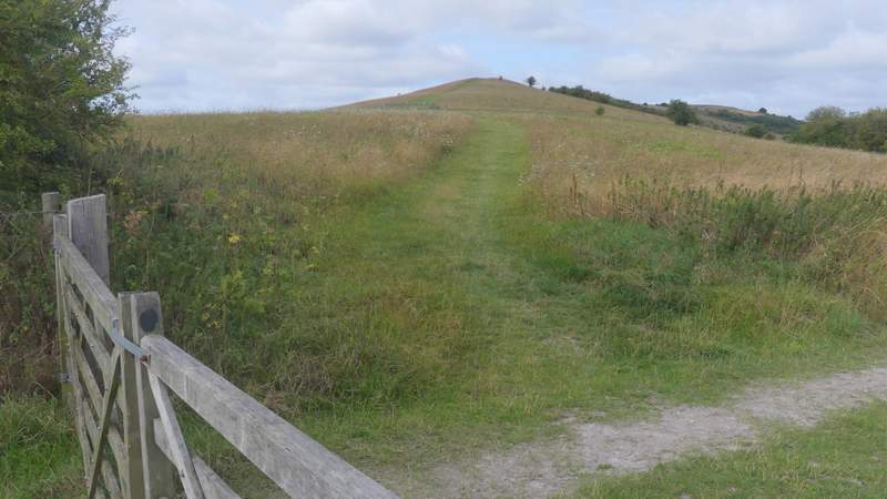
The path up Gallows Hill
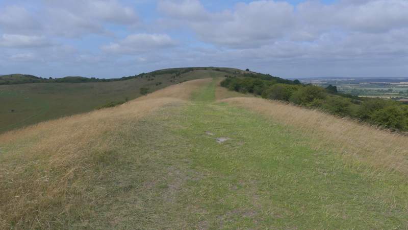
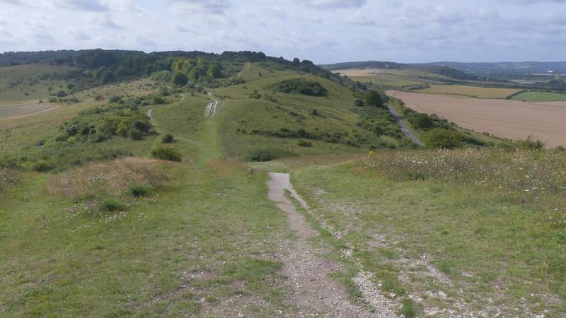
The path along Gallows Hill towards Ivinghoe Beacon
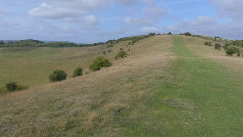
Looking back along Gallows Hill, and towards the Dunstable and Whipsnade Downs
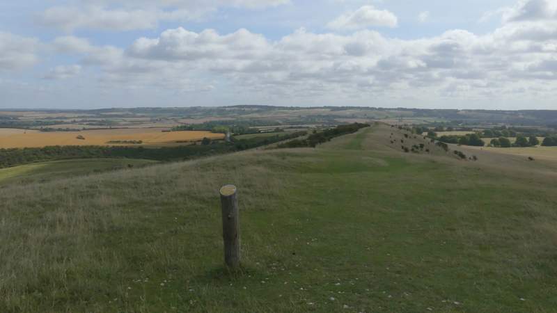
View over the Vale of Aylesbury from Ivinghoe Beacon
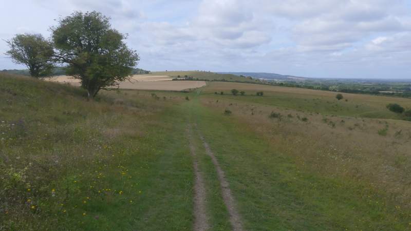
I then turned left, and followed a path down Ivinghoe Beacon - I should have kept straight on to reach a road, but just from force of habit I went over the smaller of the two hillocks here and then up the larger one, turning left at the top and descending it to reach the road. Soon after crossing the road, I followed the white acorn sign of The Ridgeway as it forked slightly right (just behind a tree). The path rose very slightly across the scrub-covered slope of Steps Hill. Immediately after going through a gate I stayed with the Ridgeway as it turned left, following a fence-line uphill and then continuing through a small area of small trees and bushes. Beyond these the path continued across the grassy top of Steps Hill. By a gate at a fence corner, the path joined a chalky track and started to descend, soon turning right with the steep-sided valley of Incombe Hole on my right.
The start of the path from Ivinghoe Beacon to Steps Hill
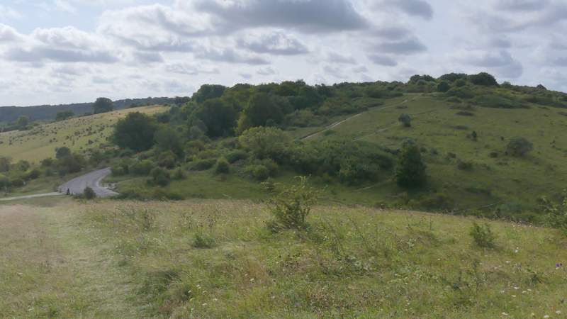
From the larger of the two hillocks near Ivinghoe Beacon, looking to the road and Steps Hill
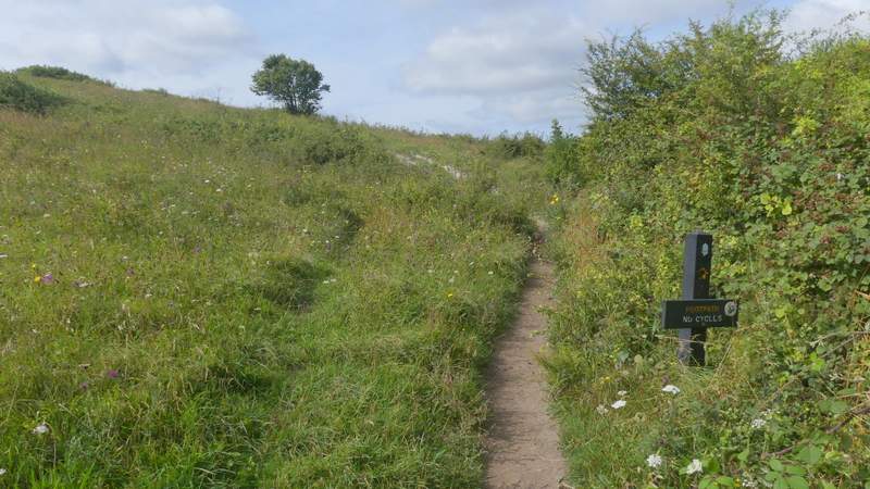
The path on Steps Hill, immediately after I forked right (behind a tree)
The path on Steps Hill
The path on Steps Hill after I turned left
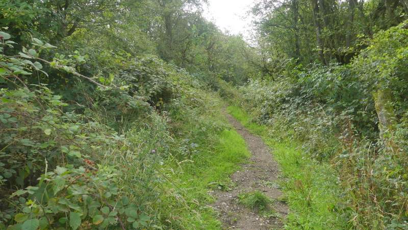
The path on Steps Hill after I turned left, going through the small wood
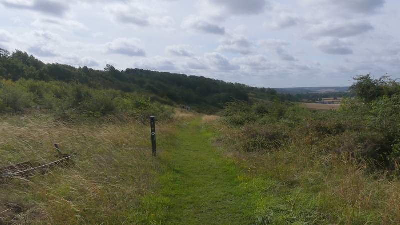
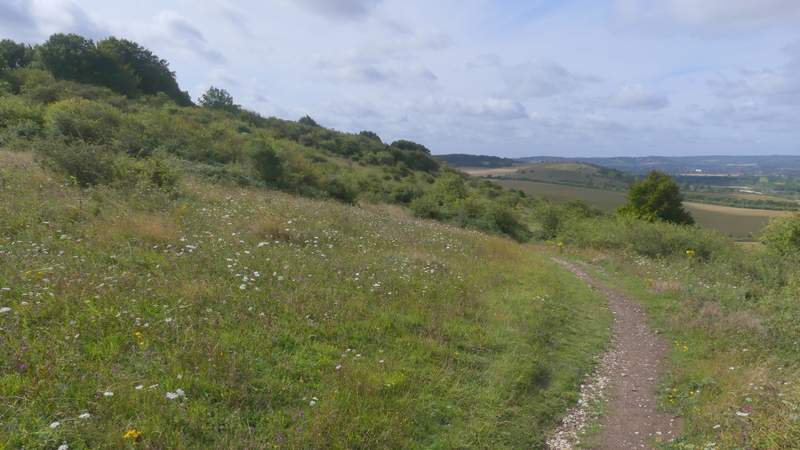
The path continuing across the top of Steps Hill
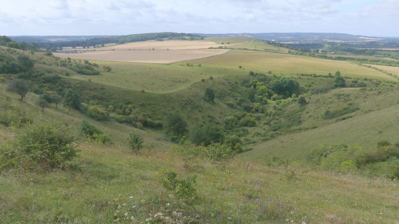
View right, across Incombe Hole
The path just before it starts descending from Steps Hill
The path descending from Steps Hill (I turned left where the field starts)