Pete's Walks- Chenies, Chipperfield Common, Ley Hill (page 1 of 6)
If you are considering walking this route yourself, please see my disclaimer. You may also like to see these notes about the maps and GPX files.
I did this circular walk of about 13.3 miles on Friday, 23rd August 2019. It was another repeat of a walk I first did in September 2011 - I've also walked the route in the opposite (clockwise) direction a couple of times, most recently in October 2016. (Note: sorry, the descriptions here are very much a 'cut and paste' from the last time I did this walk).
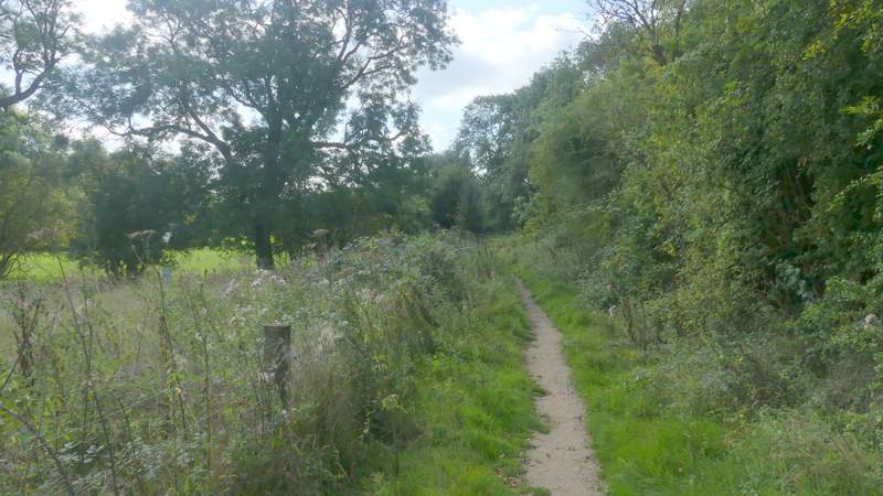
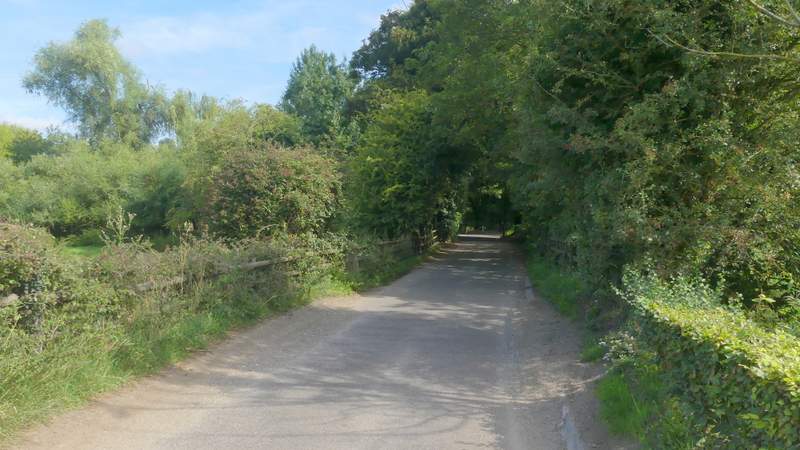
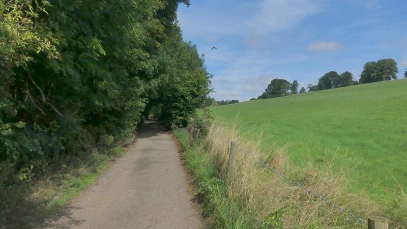
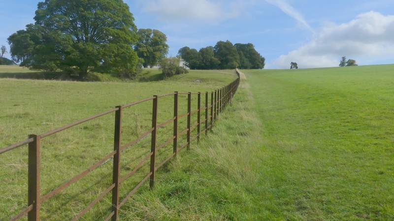
I couldn't find a place to park in the centre of Chenies where I usually do, close to the old pump on the green (Grid Reference TQ 016984), so instead I parked a little further along the road from Chesham, somewhere between the two pubs, and started walking about 10:05am. From the village green I took the road to Chesham, but left it as soon as it left the village by taking a track called Holloway Lane on the right. After a few hundred yards, just after the 'lane' turned left, I took a path that forked half-right and dropped downhill across a grassy field. In the valley bottom I rejoined Holloway Lane (which had turned right), and followed it to the right for about a quarter of a mile. When it turned left I went straight on along a footpath through Mount Wood for about half a mile, until I emerged from the other end of the wood at Sarratt Bottom.
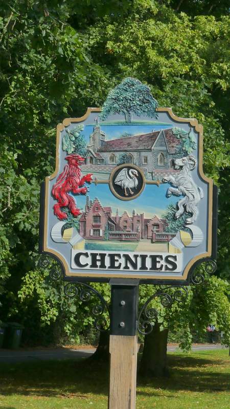
Village sign, Chenies
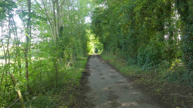
Holloway Lane
The path that cuts a corner off Holloway Lane, dropping down into the Chess Valley
Holloway Lane again
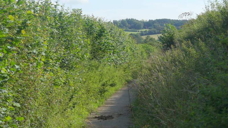
Holloway Lane
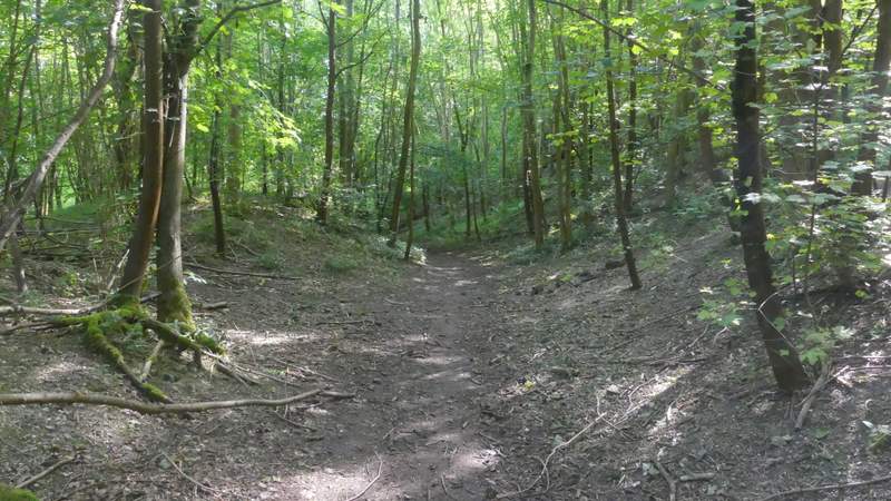
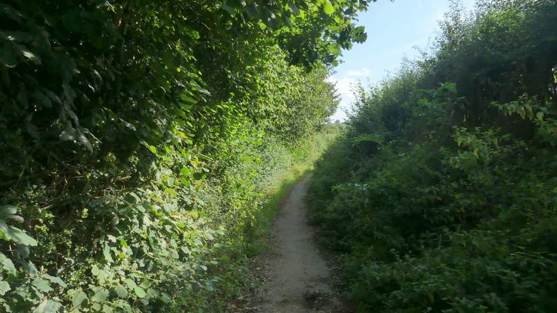
The path through Mount Wood
The path through Mount Wood
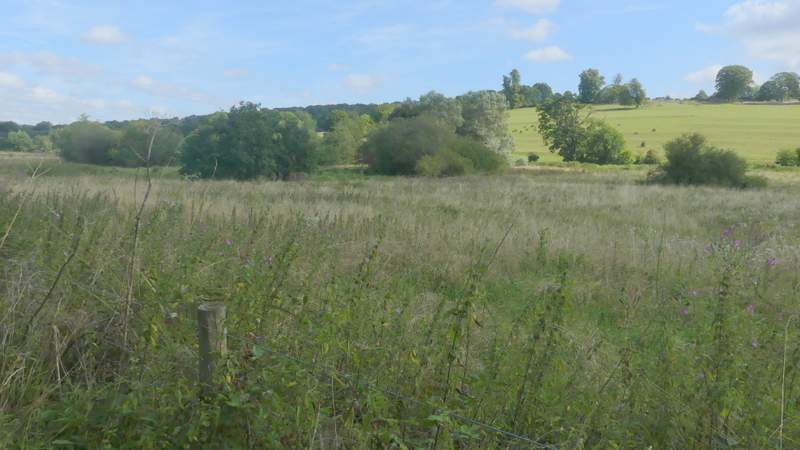
I continued straight ahead, following the path past the overgrown area at Sarratt Bottom and then on through a long thin pasture to reach North Lane. Here I turned left and soon crossed the river Chess at Sarrattmill Bridge. After another 100 yards or so I turned left along a footpath that followed a surfaced drive. As I reached a cottage on the right, I turned right and followed a path that went steeply up a grassy hillside, alongside a fence on my left. At the top of the slope I crossed a drive and continued straight on a short way to reach the end of a lane at Church End, a hamlet within the parish of Sarratt.
The path continuing ahead at Sarratt Bottom
The path continuing to North Lane and Sarrattmill Bridge
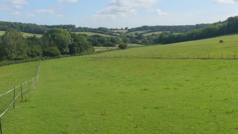
View across Sarratt Bottom
North Lane
The footpath going back northwest from near Sarrattmill Bridge
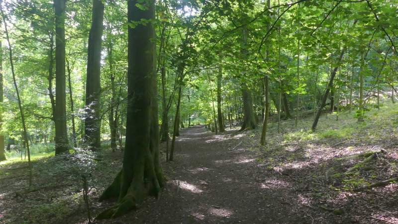
The path up to Church End, Sarratt, from the Chess Valley
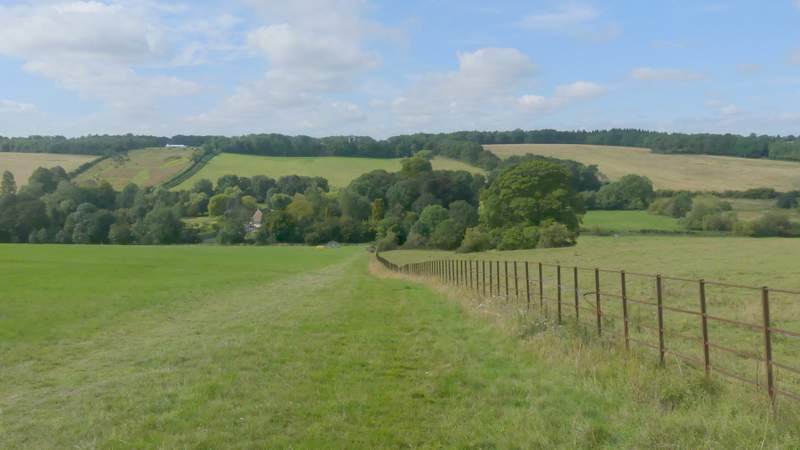
Looking back over the Chess Valley from the path up to Church End, Sarratt
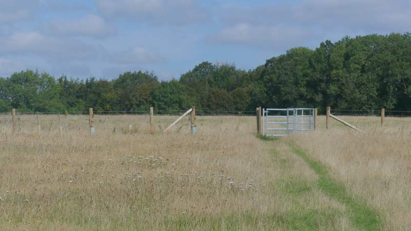
I walked through the churchyard, and stopped for a few minutes to take a look inside the church where I aw a Mediaeval wall painting. I then crossed a small meadow or pasture to a metal kissing-gate and then continued across a large empty pasture, where after a while there was a nice view towards the Chess Valley over to my left. I spotted a gentleman here that I'd seen coming the other way through Mount Wood. He was carrying a small basket and obviously looking for mushrooms, and I was able to point some out to him that were on the path. The path eventually followed a row of trees on my right to reach a gate in the field corner.
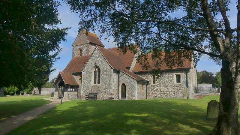
Sarratt Church
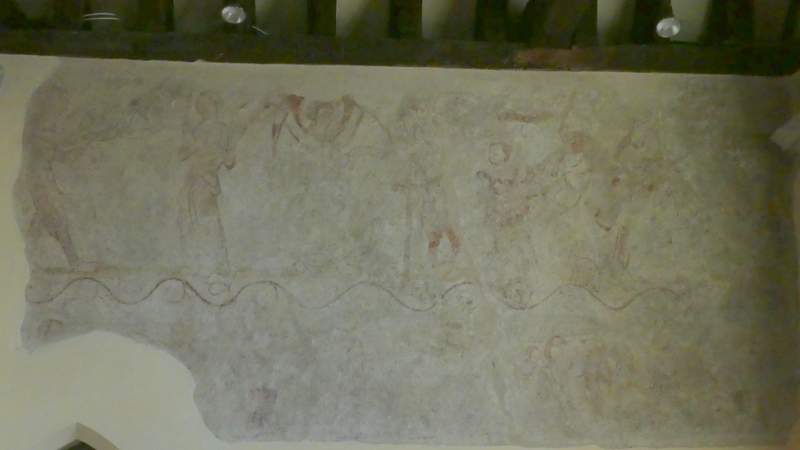
Mediaeval wall painting, Sarratt church
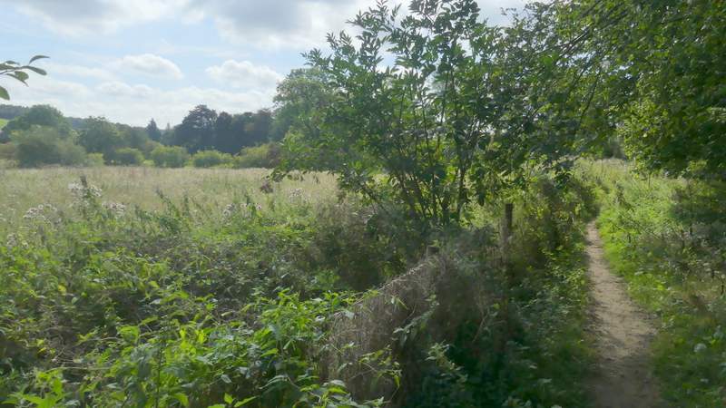
The path from Sarratt Church
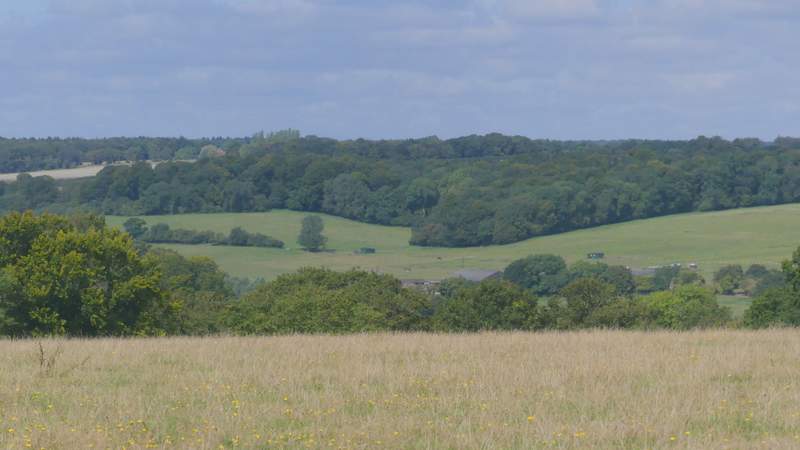
View across the Chess Valley
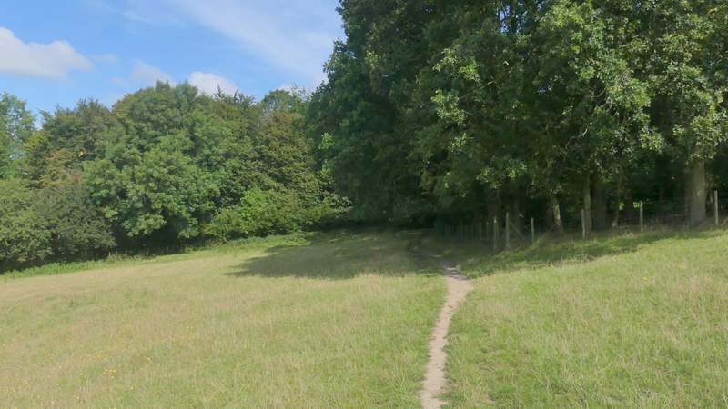
The path from Sarratt Church