Pete's Walks - West Wycombe and Nanfan Wood (page 2 of 7)
If you are considering walking this route yourself, please see my disclaimer. You may also like to see these notes about the maps and GPX files.
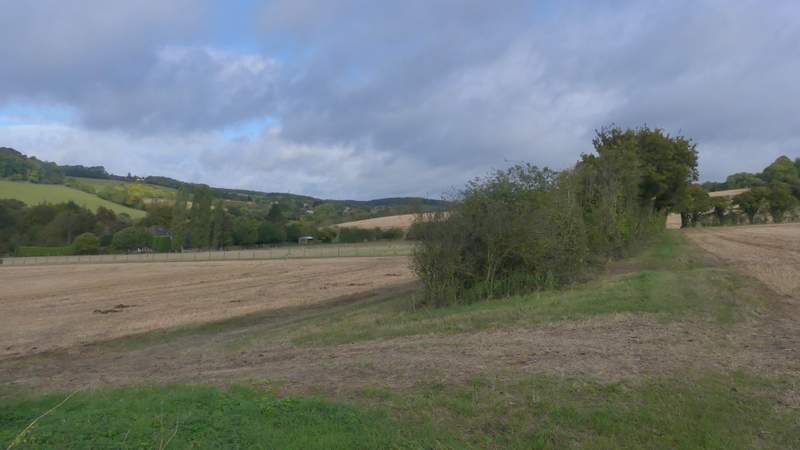
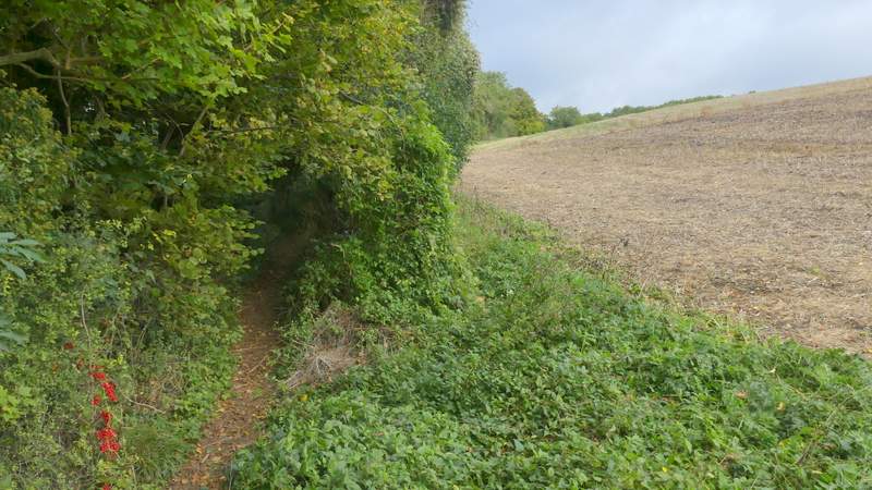
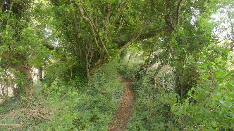
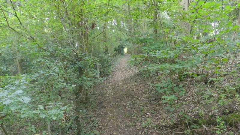
When I reached the grassy park land around Hughenden Manor, I took a footpath forking slightly right from the drive and followed it down to Hughendon church. I went through a gate into the churchyard and passed the church on my left (the bells were ringing continuously, perhaps there was going to be a wedding). I then rejoined the drive I'd been on earlier and followed it to a gate and a road. There was a shower at this point, and I stopped in the shelter of a tree to put my rain jacket on - of course, by the time I'd done that the shower was almost over. I went a few yards left and crossed the road, continuing down a bridleway named Church Lane on the OS map. After two or three hundred yards I turned left onto a footpath that would take me to Cryers Hill. It ran along the left edge of a large field of stubble that sloped uphill, with a mature hedgerow to my left. On reaching the next corner of this field I turned right, and after a short distance the path turned left to run through the middle of a lengthy hedgerow with more fields either side. Further on it ran through a bit of woodland, than ran between a tall hedge on my right and a shorter one on my left, with a field of rough grass sloping downhill on the other side of it. There were some nice views to the left here. Eventually the path bought me to a road on the edge of Cryers Hill.
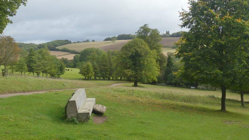
View from the grounds of Hughenden Manor
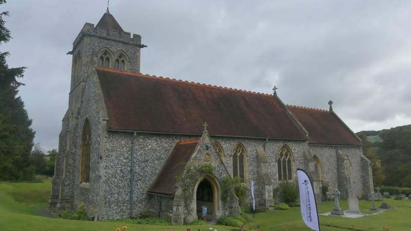
Hughenden church
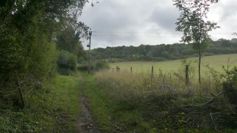
The bridleway along Church Lane
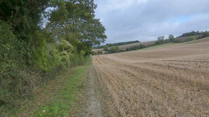
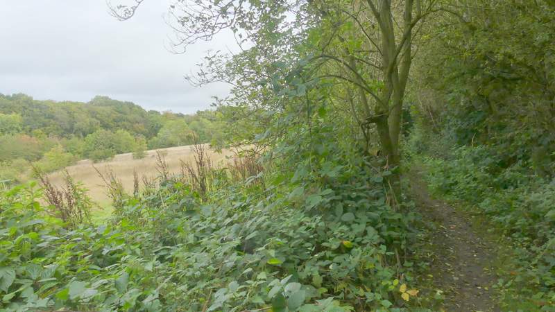
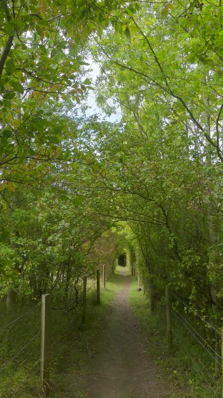
Near the start of the path to Cryers Hill
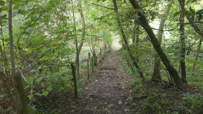
The path to Cryers Hill
The path to Cryers Hill
The path to Cryers Hill
The path to Cryers Hill
The path to Cryers Hill
View left from the path to Cryers Hill
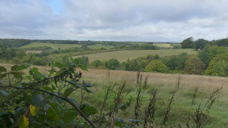
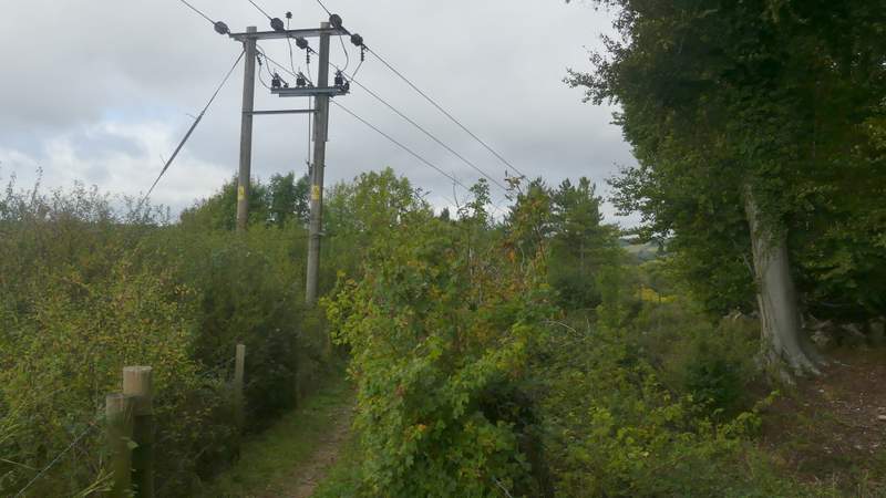
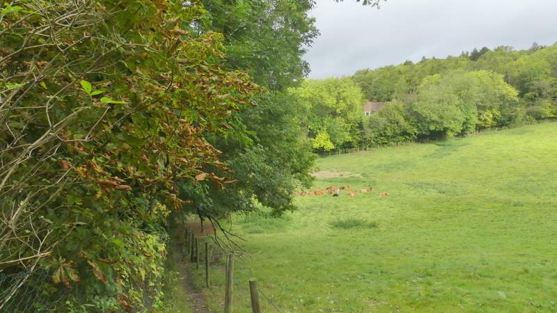
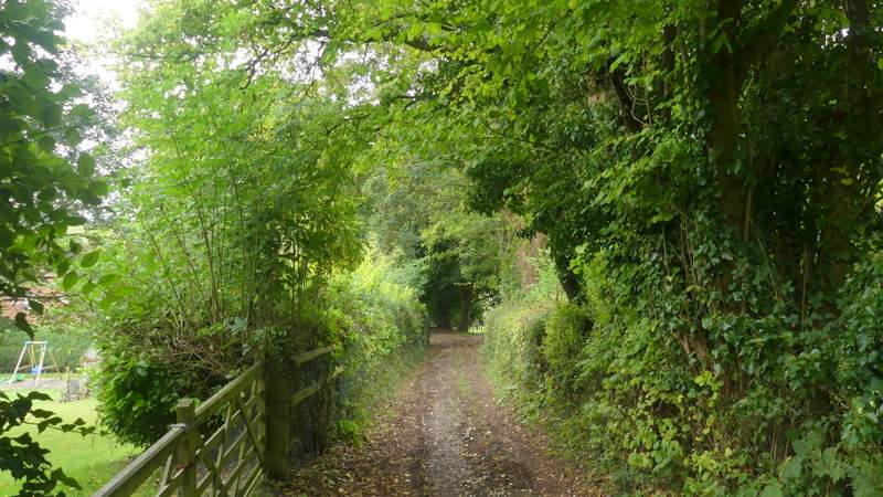
I crossed over and went down a private road on the other side, soon passing a waymark post that confirmed I should keep left at an apparent fork. At the end of the private road, after a quarter of a mile or so, the path continued over a broken stile (I remember it well - the first time I came over it I almost trod on a Great Dane!) and ran between a tall hedge on the right and a fence and short, intermittent, hedge on the left. Again there were good views on the left, looking along the Hughenden valley towards High Wycombe. Further on the path passed through a bit of woodland where I spotted three Roe Deer (possibly only the second time I've seen as many as that). It then dropped downhill, passing a cattle pasture on the right, to reach Boss Lane (more a track or drive than a lane), where I turned left.
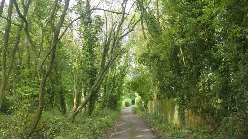
The private road at Cryers Hill
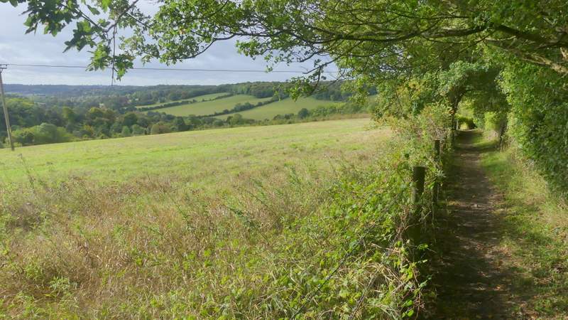
The path from Cryers Hill to Boss Lane
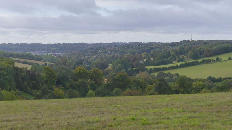
View left from the path from Cryers Hill to Boss Lane, along the Hughenden valley towards High Wycombe
The path from Cryers Hill to Boss Lane
The path from Cryers Hill to Boss Lane
The path from Cryers Hill to Boss Lane
The path from Cryers Hill to Boss Lane
Boss Lane