Pete's Walks - West Wycombe and Nanfan Wood (page 1 of 7)
If you are considering walking this route yourself, please see my disclaimer. You may also like to see these notes about the maps and GPX files.
Google map of the walkDownload GPX file of the walk
PLEASE NOTE: The very large car park in West Wycombe used to be free. When I came here on 15th January 2022 I found it is now a pay and display car park, only free if you stay less than one hour and costing £4 if you stay more than 2 hours. I think you have to pay by credit card, I don't think the machine takes cash.
I did this circular walk of about 13.6 miles on Saturday, 28th September 2019. It was basically the West Wycombe, Speen and Hughendon walk that I did clockwise in April 2010 and December 2015, and anti-clockwise in October 2010, extended by adding a 2-mile section from the Redland End and Bryant's Bottom walk I did in April 2015. The only bits of the route that were new to me were one woodland path near Bryant's Bottom and a half-mile section that took me into Speen. I chose to walk the route anti-clockwise today, because there were many paths I'd only walked in that direction once before, and that was almost nine years ago on on that walk in October 2010.
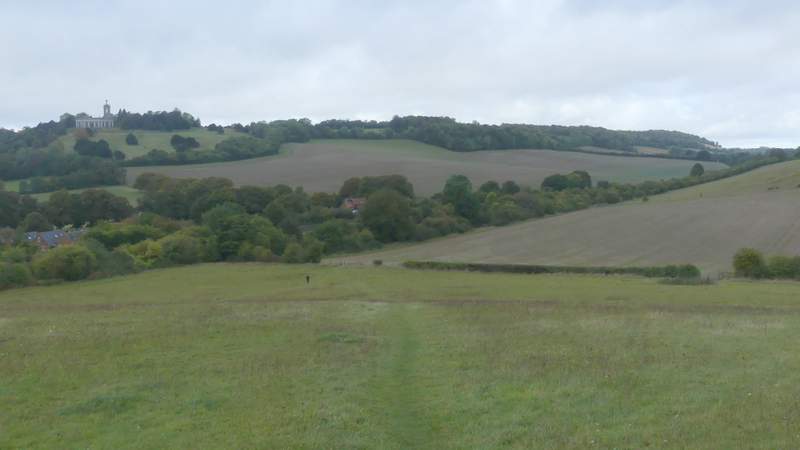
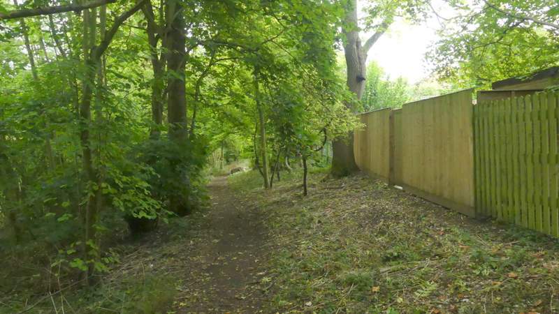
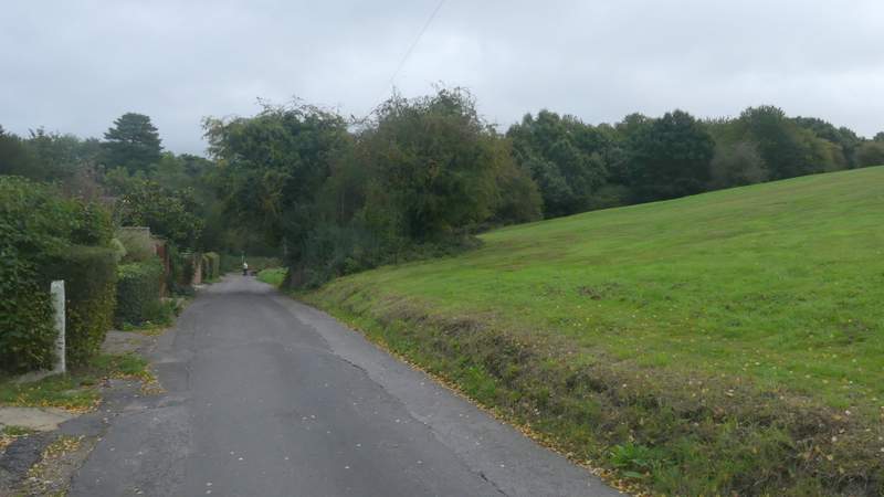
I started walking about 9am (again I'd managed to leave home an hour earlier than usual), from the car park in West Wycombe (grid reference SU 826947) - it's now named the Hell Fire Caves car park, but I think anyone can use it (there's no signs saying otherwise and it used to be the 'village car park). I turned right from the entrance to the car park, then at the end of the road turned left and followed the A40 through the attractive village with its many old buildings. I carried on as far as a roundabout, where I crossed over a road and took a private road or drive just a few yards to the left. Shortly after this went under a railway bridge and reached open countryside, I went through a metal kissing-gate and followed a path that forked half-right, heading uphill towards Branch Wood (another path seemed to go slightly further right through this Open Access area).
The start of the walk, from the West Wycombe car park
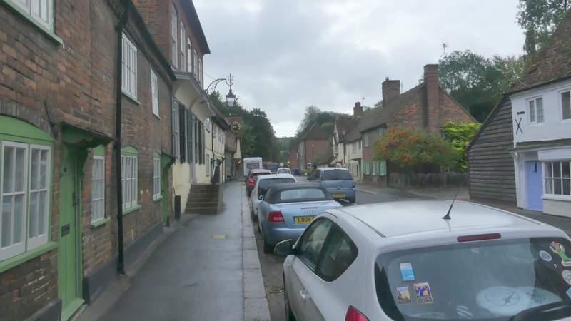
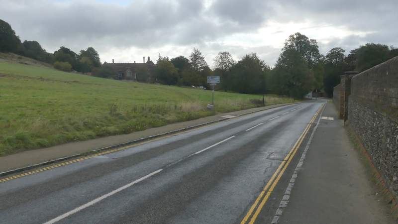
The A40 through West Wycombe
Near the start of the private road or drive ('other route with public access', according to the OS map)
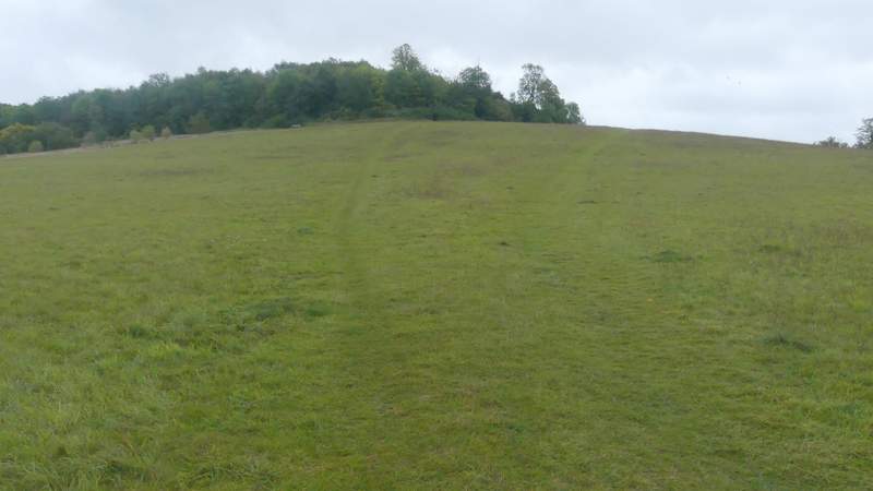
The path up to Branch Wood
View back from the edge of Branch Wood
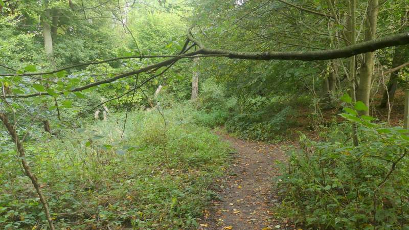
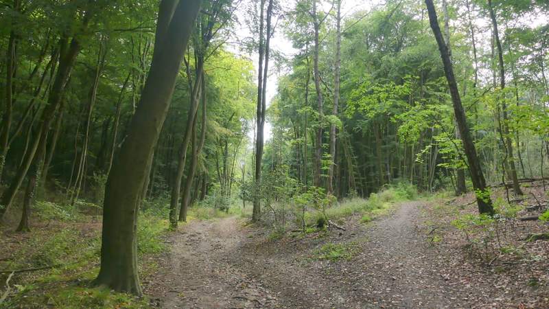
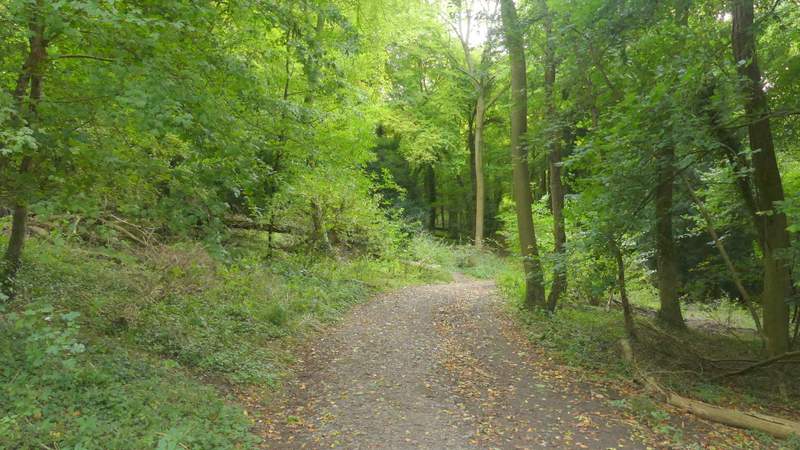
The path entered Branch Wood, and soon came to a path junction (with waymarks on a post) where I turned left. I then kept left at a junction where a path came in sharply from the right. I then kept straight on through the wood for about a third of a mile, ignoring paths going off on both sides (there was a housing estate close by on my right) and keeping left at one apparent fork in the path. This brought me to a path T-junction - another unofficial path continued ahead so it appeared to be a crossroads, but waymarks on a post confirmed it was a T-junction. I turned right here, the path soon running between the grounds of a school on my left and garden boundaries on my right.
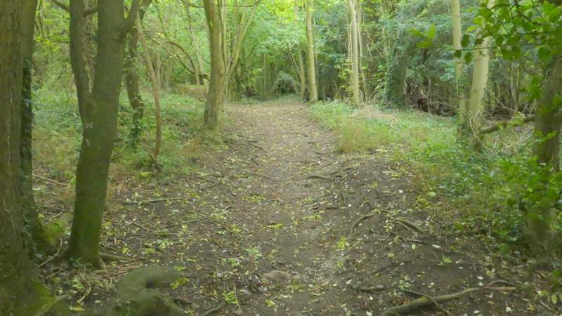
The path just inside Branch Wood, before I turned left
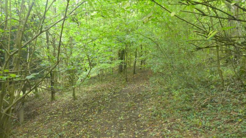
The footpath through Branch Wood, after I turned left
The footpath through Branch Wood
The footpath through Branch Wood
The footpath through Branch Wood
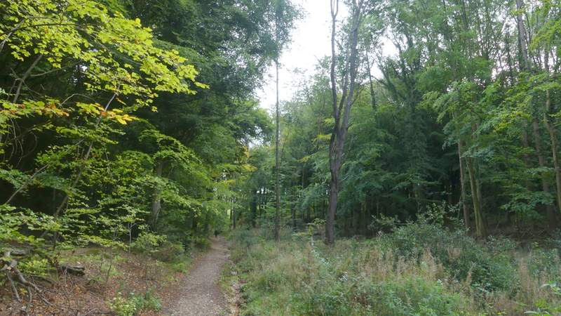
The path after I turned right in Branch Wood, passing a school on the left
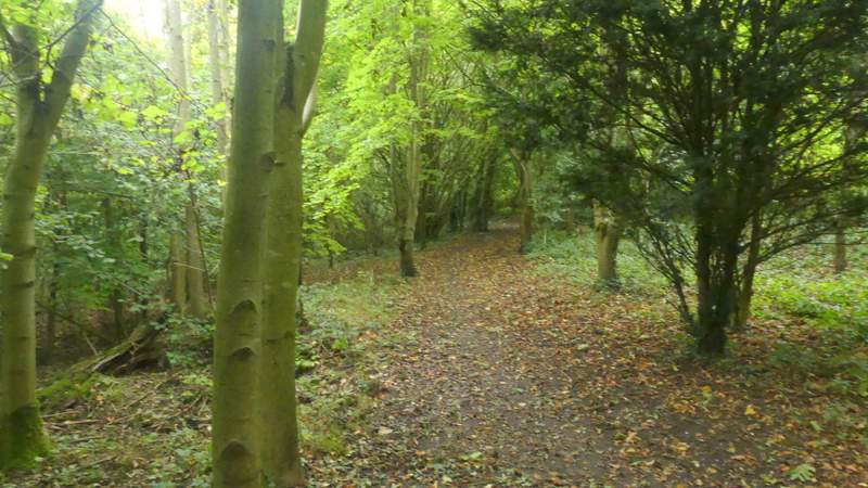
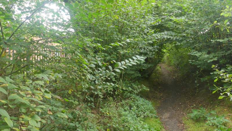
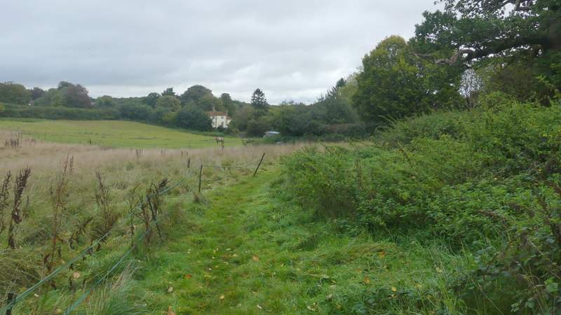
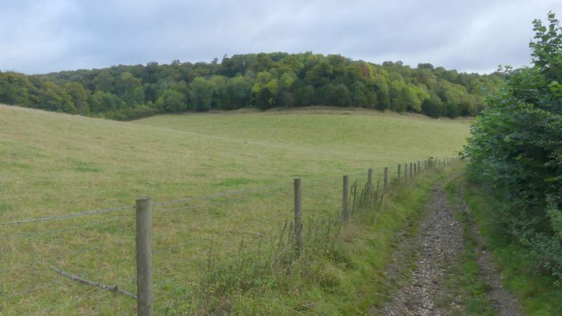
On reaching a street in Downley, I turned left to pass the school entrance and then immediately went through a metal kissing-gate and followed a footpath past a pond on my right (at least there used to be a pond, I could really only see vegetation today). The path then continued along the edge of a paddock of rough grass, before following a short track to reach another road in the village. I went no more than 50 yards left here before turning right down Moor Lane. At its end I continued down a bridleway (footpaths went off on either side) that ran for about a third of a mile through a wood (Common Wood is the nearest name I can see on the OS map). On leaving the wood, the bridleway continued between a fence and a hedge on my right, soon curving slightly right with the grassy field on my left sloping up to a wood. The bridleway then continued through a wood, rising uphill slightly to reach the outbuildings of Hughendon Manor (once home of Benjamin Disraeli, it's now a National Trust property). I went straight on with flint walls on either side of me - the visitors gate was closed, but I managed to get a photo of the house over a hedge.
The path after I forked left by the school entrance
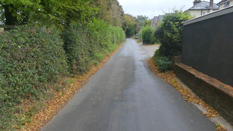
Moor Lane, Downley
The bridleway through Common Wood
The bridleway through Common Wood
The bridleway continuing towards Hughenden Manor
The bridleway continuing towards Hughenden Manor
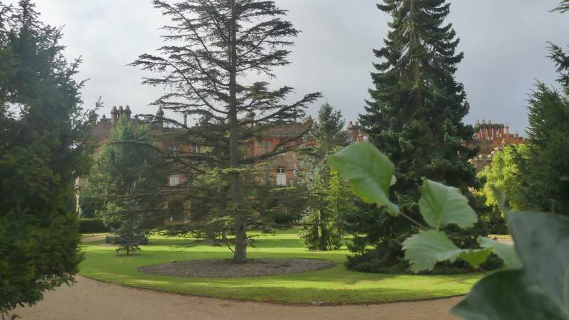
Hughenden Manor