Pete's Walks- Bradenham and Studley Green (page 2 of 4)
If you are considering walking this route yourself, please see my disclaimer. You may also like to see these notes about the maps and GPX files.
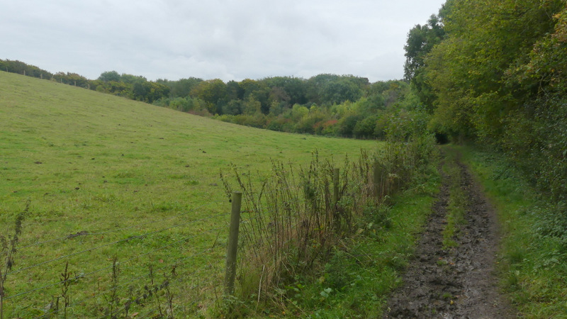
I turned right and followed the road into the village of Bledlow Ridge (there was a wide verge on the left with the remnants of a pavement, scattered with a large number of conkers). I followed the road until I passed the entrance to the Bledlow Ridge Cricket and Tennis Club on the left, when after another hundred yards or so I took a footpath on the left that ran past the tennis courts and then the cricket pitch, on my left. The path then continued between a fence and a tall hedgerow on my right, passing a couple of paddocks on my left. It then dropped downhill steeply on a flight of 'steps', now just inside the edge of a wood, to reach Bottom Lane. A bridleway continued on the other side of Bottom Lane, following a hedgerow on my right across a valley bottom. It passed through the left end of a narrow wood, and then started up the opposite side of the valley, soon running beside another small piece of woodland on my right. This was the third of the six hills on this route, and was neither too steep nor too long. At the top of the hill I turned left along a road that immediately entered the part of Radnage that is called The City.
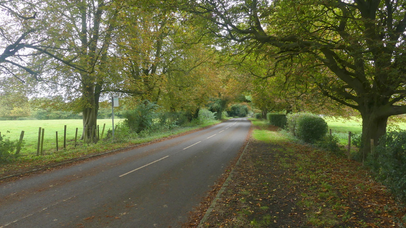
The road into Bledlow Ridge

Near the start of the path from Bledlow Ridge to Radnage, passing the Bledlow Ridge Cricket and Tennis club
The path from Bledlow Ridge to Radnage
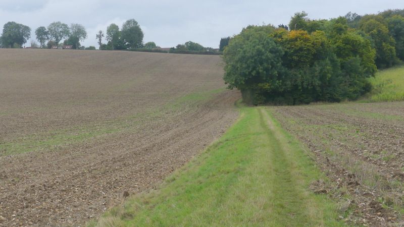
The path from Bledlow Ridge to Radnage, descending steeply to reach Bottom Road
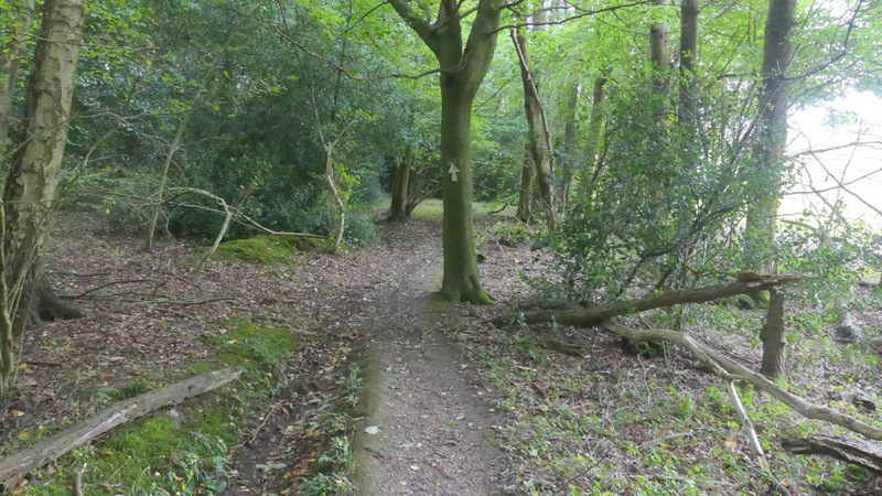
The path to Radnage, after crossing Bottom Road
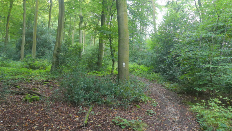
The path to Radnage
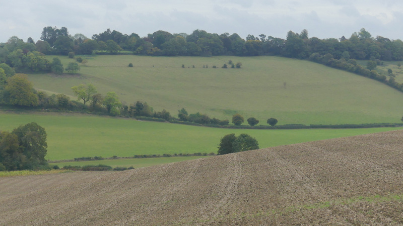
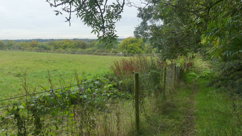
View back from the path to Radnage
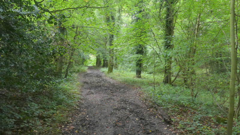
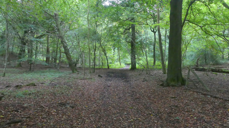
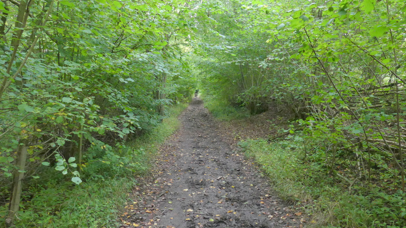
I soon came to a road junction where I turned right (by a white-painted former chapel). After a while this street dropped downhill and ended in a valley bottom, where I turned left and followed a bridleway (as usual this was quite muddy compared to most of the other paths I walked today) which followed the valley to Bottom Wood (a nature reserve managed by the Chiltern Society). Here I turned left, following another bridleway through the wood, gradually curving right as it followed another valley bottom. After 5-600 yards the bridleway was close to a field on my right. After another couple of hundred yards or so, when the field ended and the wood now extended to my right, I turned right and followed another bridleway uphill through the wood. This was the fourth and easiest of the six hills today - it was also new to me (though obviously I'd come down it when I did this route the other way in 2015). On leaving the wood at the top of the hill, the bridleway ran along a piece of short grass next to a bungalow to reach Old Oxford Road, in part of Studley Green (presumably the road is part of what is now the A40 before it was 'improved' at some time - I could hear the traffic from the A40 from behind the houses on the other side of the road). I stopped on a convenient seat here to eat my lunch (I remembered it from when I did that walk in 2015).
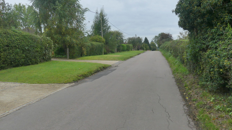
The street after I turned right in Radnage
The street after I turned right in Radnage
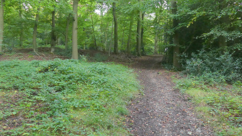
The bridleway to Bottom Wood
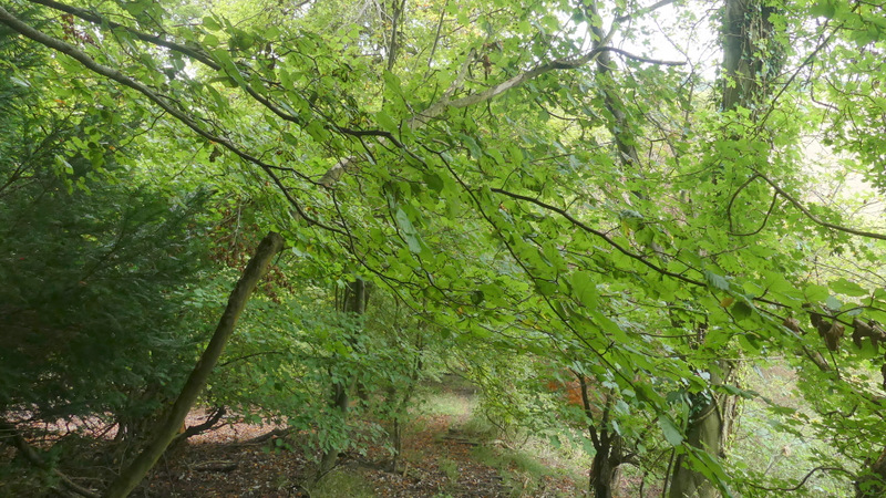
Bottom Wood
Bottom Wood
Bottom Wood
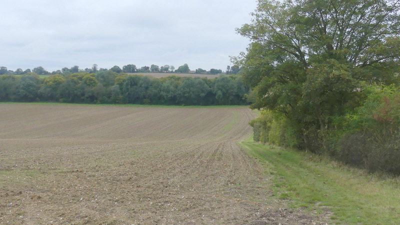
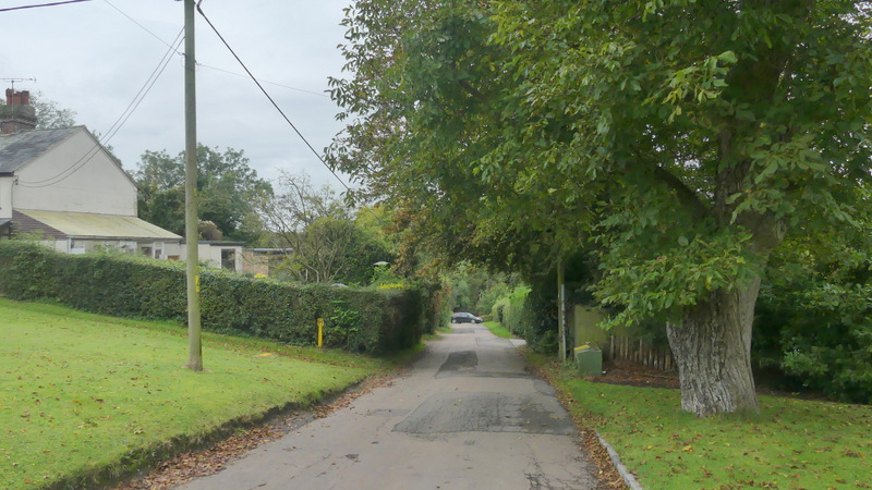
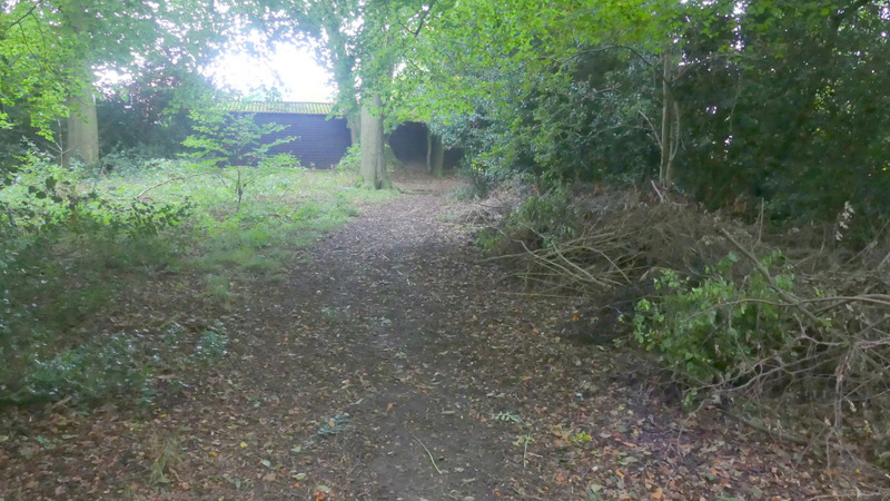
The start of the path up to Studley Green
The path up to Studley Green
The path up to Studley Green
The path up to Studley Green