Pete's Walks- Sonning Common and Mapledurham (page 1 of 5)
If you are considering walking this route yourself, please see my disclaimer. You may also like to see these notes about the maps and GPX files.
I did this circular walk of about 12.6 miles on Wednesday, 30th October 2019. It was a repeat of a walk I did in December 2016, with a very slight variation near the start (Alternative 1 on my Google map) to see an old well at Kidmore End.
I parked in the small parking area (just two places) at the Kennylands Millennium Green on the southern edge of the village of Sonning Common (Grid Reference SU 714795) and started walking about 10:25am. On entering the green I turned right and followed the path round the edge of the green (going anti-clockwise). After turning left in a corner, I went about halfway down the next side, then went through a metal gate on the right to reach a minor road. Across this and a few yards to the right a path started down a track between two houses. Beyond these it turned slightly right to continue between fences and hedges with paddocks on ether side, then crossed an arable field to reach Bur Wood. Beyond this narrow wood, the path followed a fence (on my left) between two arable fields to reach a gate and the drive to Vines Farm.
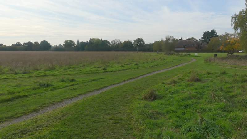
The Kennylands Millennium Green, Sonning Common
The path round the Millennium Green, after I turned left in a corner
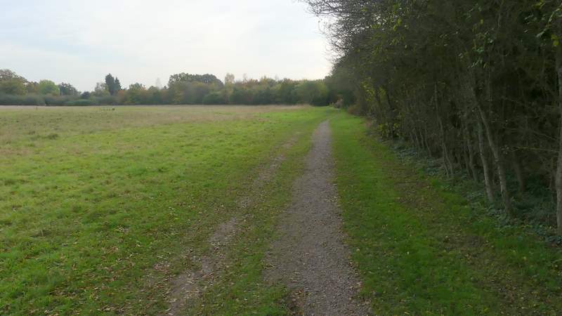
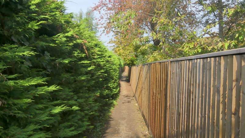
The start of the path to Bur Wood

The path to Bur Wood
The path to Bur Wood
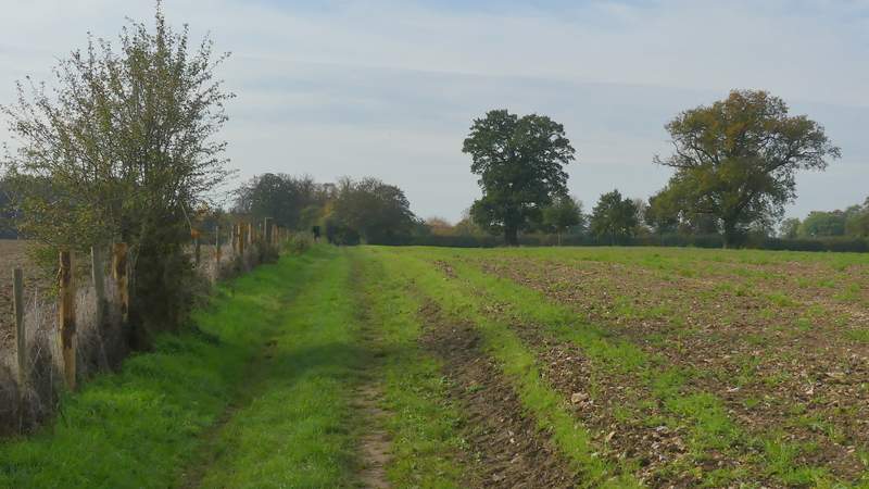
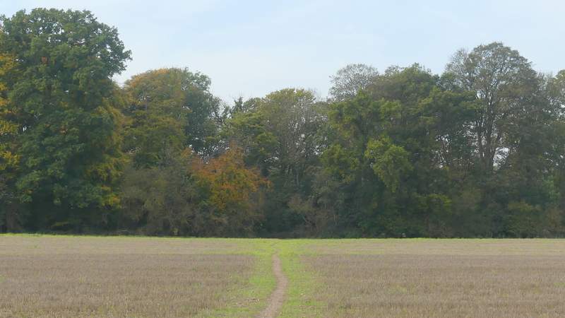
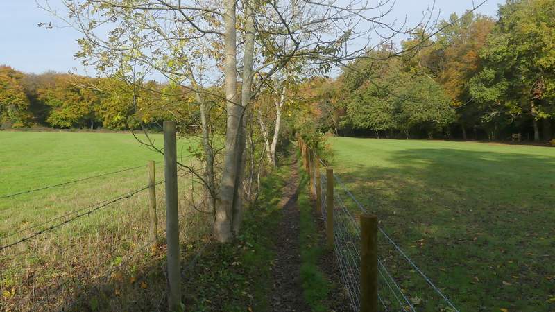
The path continuing from Bur Wood
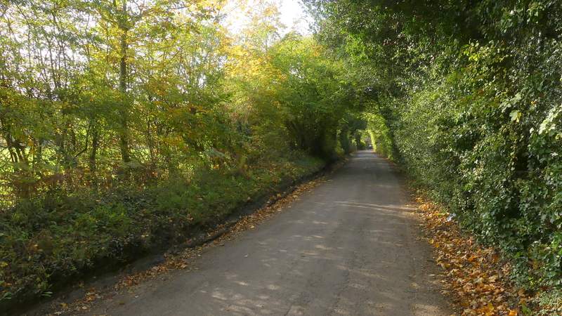
I turned right along the drive, a restricted byway, soon passing Vines Farm and continuing along a farm track with hedges either side. After following the byway for about half a mile, I reached a lane junction. Instead of going straight on down Hazelmoor Lane as I've always done previously, I turned left along Kidmore Lane. In 250-350 yards I came to a T-junction in Kidmore End, where I turned right. I immediately passed the church on my left, after which I came to a junction on that side. In the middle of the junction was an old well, which was the reason for this deviation from the original route. There are four old wells in this section of the Chilterns, and this was the only one I'd not seen - the others are at Gallowstree Common (which I'd pass shortly), Fawley and the Maharajah's Well at Stoke Row. Having taken a photo of the well, I continued straight on along the lane through Kidmore End. Shortly before the lane turned left I took a footpath forking half-right (it starts a few yards down a double-driveway). After running for some distance between garden boundaries, the path continued between fences with meadows or pastures either side and then ran a short way through Coldnorton Wood to reach Hazelmoor Lane. I turned left (now back on the original route) and followed the lane for just over a quarter of a mile, to reach the wonderfully named Gallowstree Common.
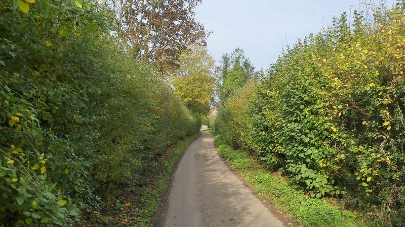
The byway, approaching Vines Farm
The byway continuing from Vines Farm
The byway continuing from Vines Farm
Kidmore Lane
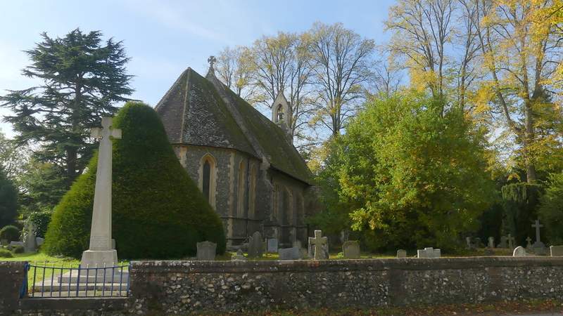
Kidmore End church
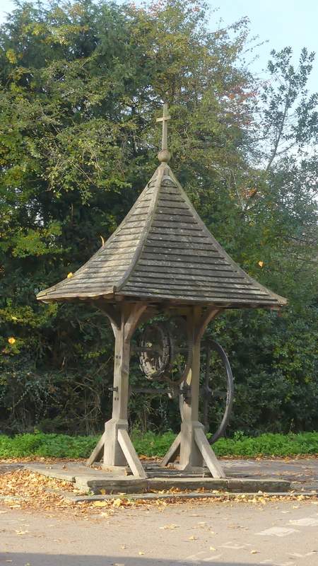
Old well, Kidmore End
The lane through Kidmore End
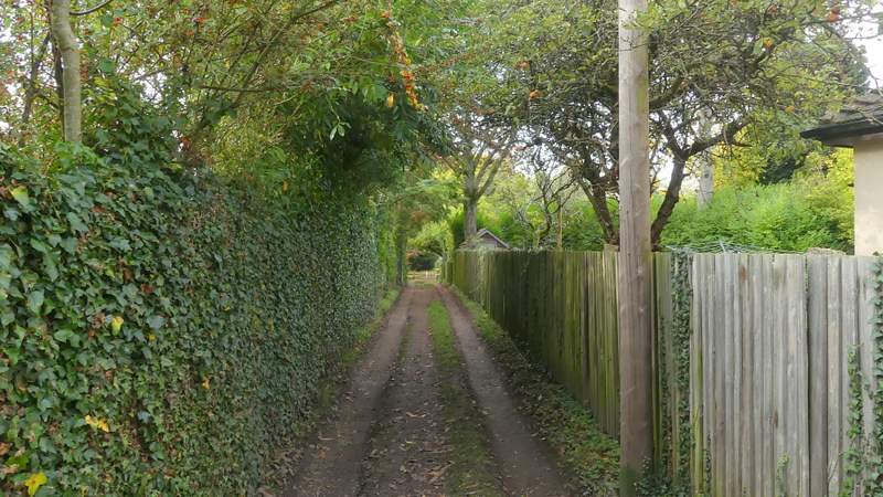
Start of the path from Kidmore End to Hazelmoor Lane
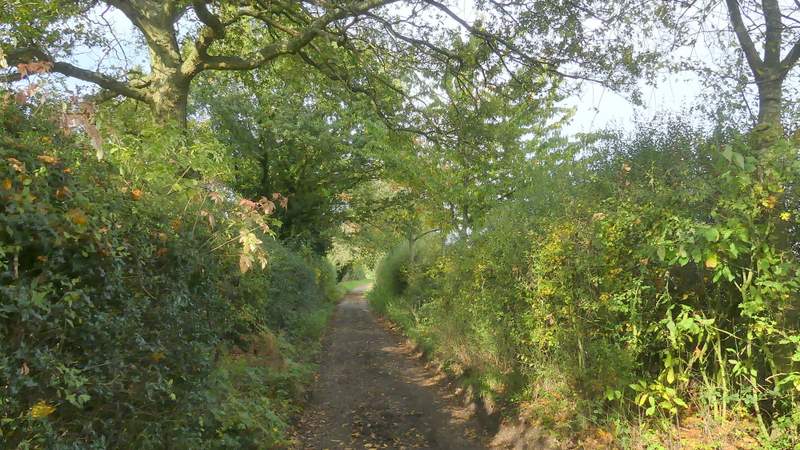
The path from Kidmore End to Hazelmoor Lane
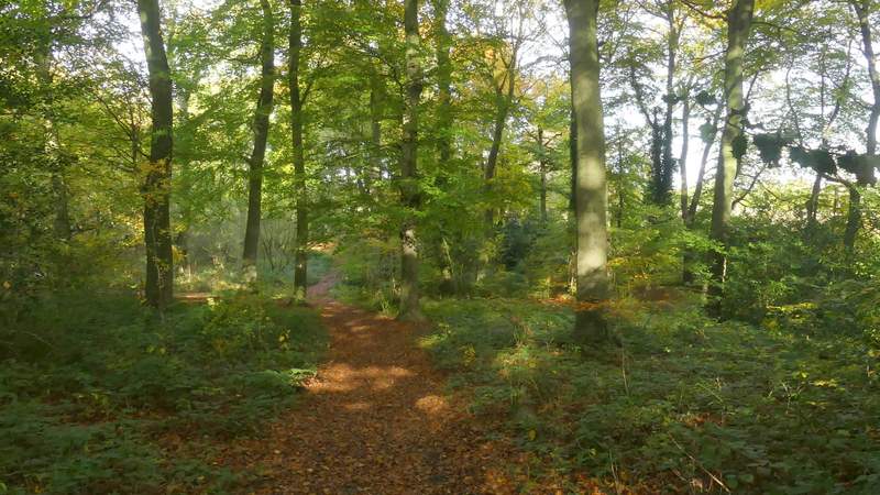
The path from Kidmore End to Hazelmoor Lane, in Coldnorton Wood
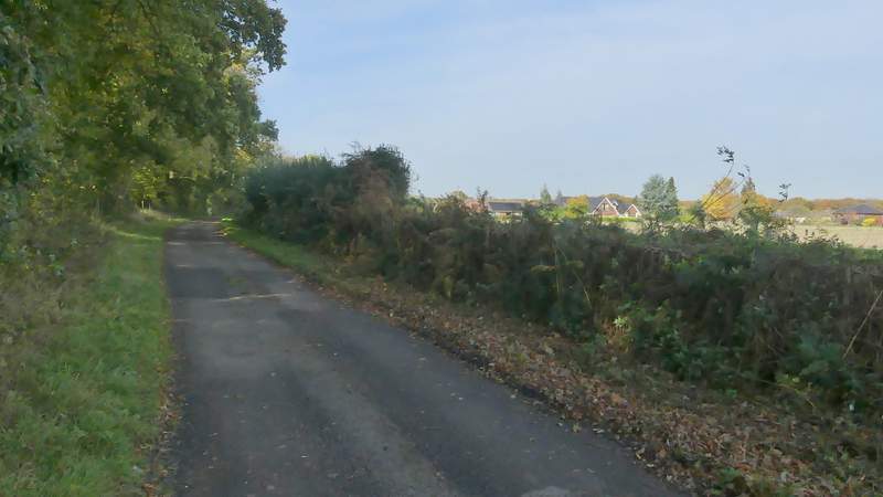
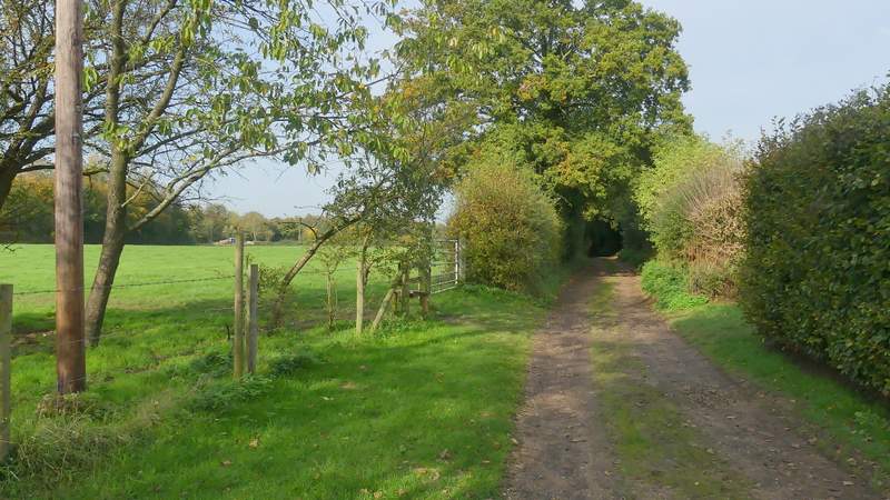
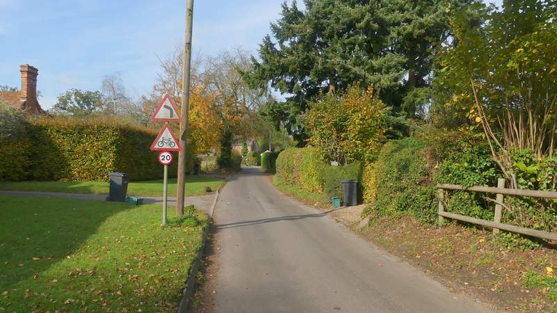
Hazelmoor Lane, heading northwest to Gallowstree Common