Pete's Walks - Sonning Common and Mapledurham (page 2 of 5)
If you are considering walking this route yourself, please see my disclaimer. You may also like to see these notes about the maps and GPX files.
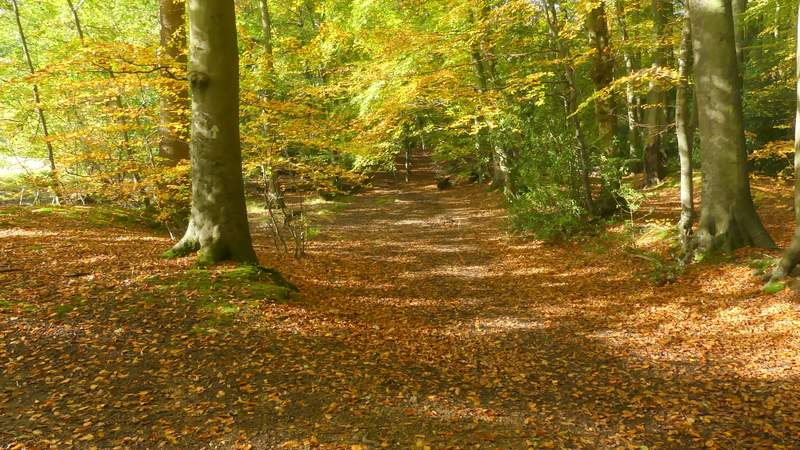
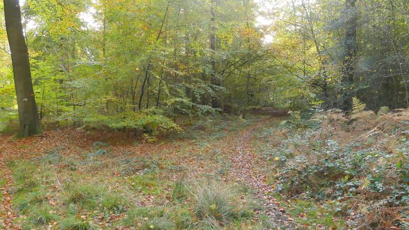
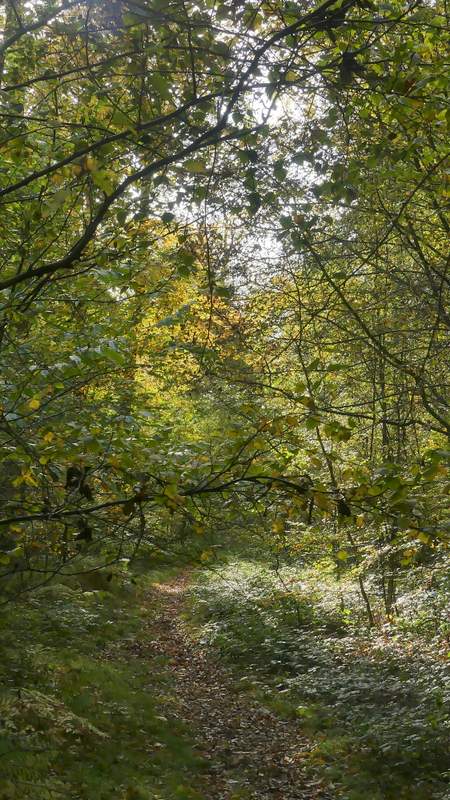
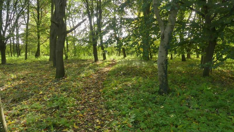
At the end of the lane, I crossed over a minor road and continued down the street opposite. Bizarrely, I completely forgot to look at the old wellhouse that I immediately passed on my right. Where the street turned left, I went right to enter a corner of New Copse. Here I took the leftmost of three rights-of-way, following a footpath north just inside the edge of the wood. This was quite delightful, with the trees (mainly Beech and Silver Birch) all close to their Autumn best. After following the path through the wood for about half a mile, the field close by on my left reached a corner and just a few yards on I turned left onto another footpath. This continued through more woodland (part of Wyfold Wood) for three or four hundred yards to reach a lane.
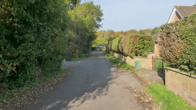
Gallowstree Common, after going straight on at a crossroads
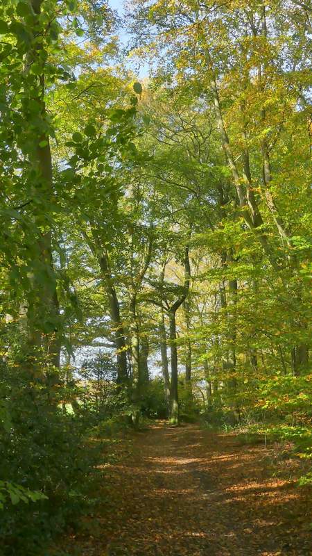
The path going north through New Copse
The path going north through New Copse
The path going north through New Copse
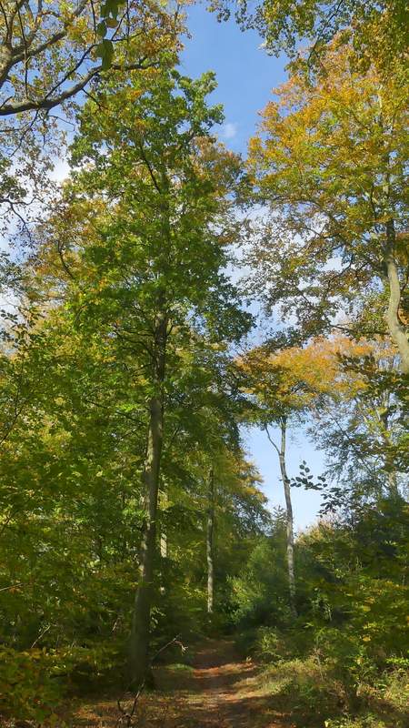
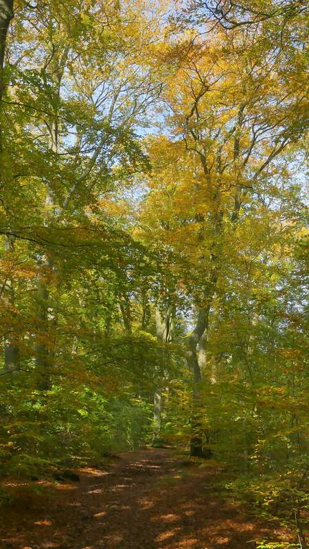
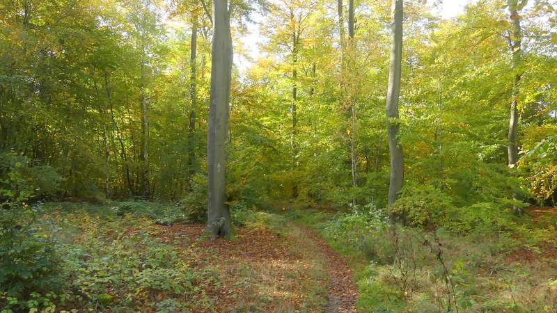
The path just after turning left to head west through Wyfold Wood
The path after turning left to head west through Wyfold Wood
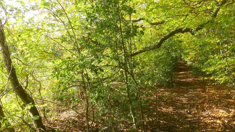
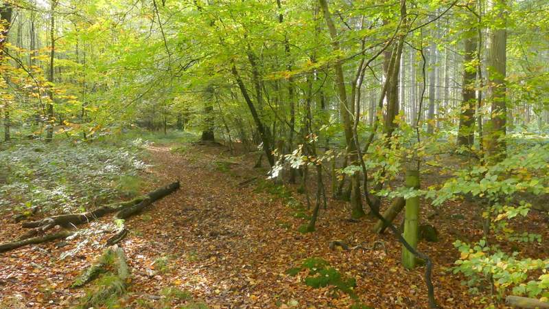
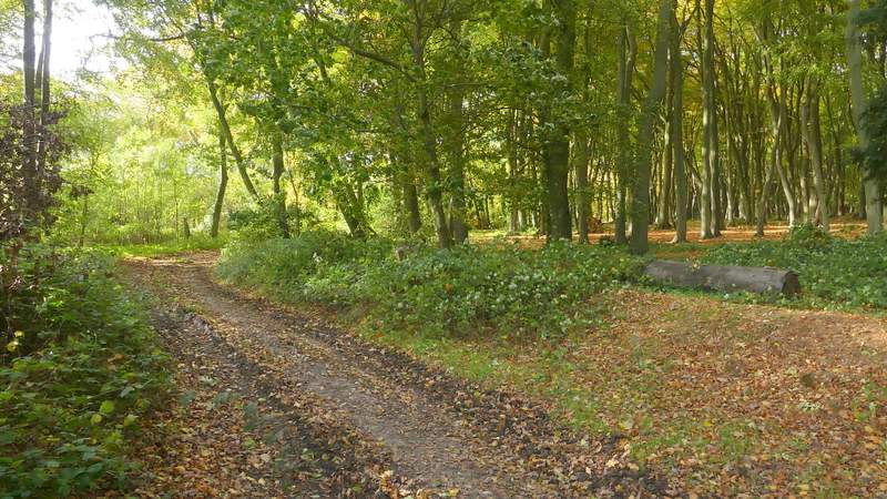
Across the lane I continued on another footpath, now in a large wood named Withy Copse. There was a clear path here, but soon a white arrow indicated where the public footpath forked slightly left from it. I tried to go this way, but after a few yards the way was blocked by low brambles, so I continued own the clear path. The official footpath rejoined it within about 50 yards, and then almost immediately another white arrow showed where the footpath turned left (an unofficial path continued ahead) to head south, or very slightly southwest, through the wood. It was a good clear path, with sufficient white arrows to make navigation easy. After half a mile or so the path reached a gate on the western side of the wood. It continued half-left across a couple of enclosures beside a house and garden.
The start of the path through Withy Copse
The path through Withy Copse, after it turns left
The path through Withy Copse
The path through Withy Copse
The path through Withy Copse
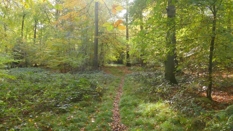
The path continuing from Withy Copse
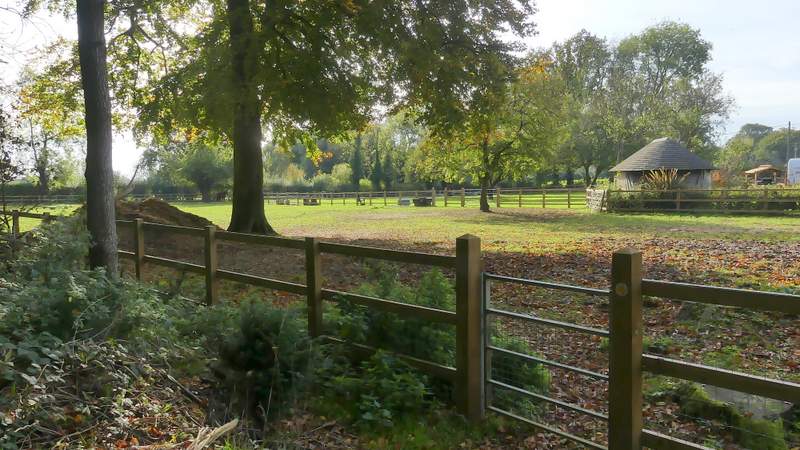
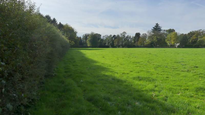
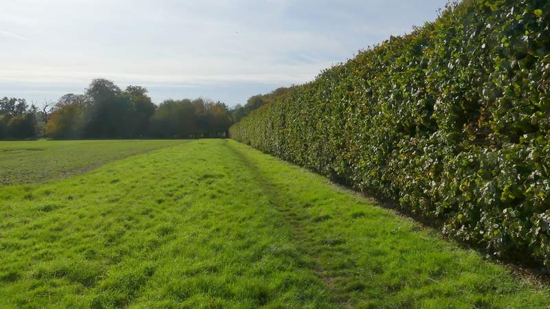
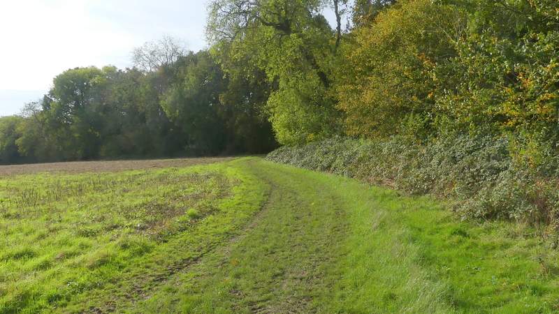
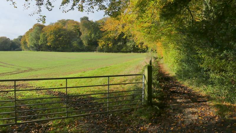
I then turned left along Park Lane, but not for very far before taking a footpath on the right (it started just behind a large tree in the hedgerow next to the lane). The path followed a hedge on my left through an empty pasture. Shortly after the hedge bent slightly left, the path went over a stile in the hedge and continued down a drive on the other side of the hedge to reach a road in the hamlet of Cane End. I followed the road carefully to the left, crossing over the end of Park Lane, and then took a bridleway on the other side of the road (opposite the end of another lane). This went half-left through a small plantation (the OS map shows it going round two sides), then crossed a narrow section of a paddock, before following a beech hedge on my right, with a fairly pleasant view over countryside to my left. Further on the bridleway passed a tree plantation on my left and then reached a field. Here it bore slightly right and soon passed briefly through part of a wood called Walk Shaw. On the other side of the wood, I went right at a bridleway junction, the bridleway continuing between Walk Shaw and a fence on my left.
The path after I turned right from Park Lane
The start of the bridleway from Cane End (it goes diagonally through this small square of trees, though the OS map shows it going round two sides)
The bridleway from Cane End
The bridleway approaching Walk Shaw
The bridleway passing through Walk Shaw
The bridleway approaching Nuney Wood