Pete's Walks- Sonning Common and Mapledurham (page 3 of 5)
If you are considering walking this route yourself, please see my disclaimer. You may also like to see these notes about the maps and GPX files.
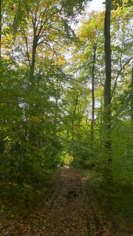
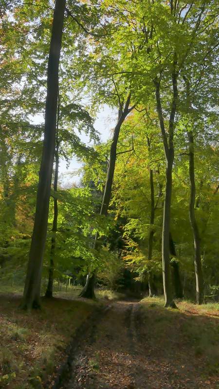
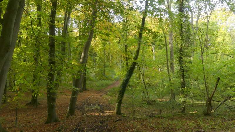
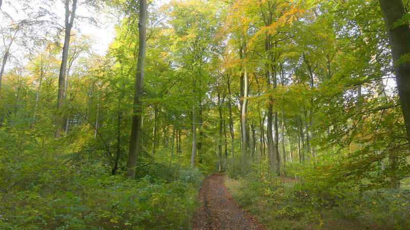
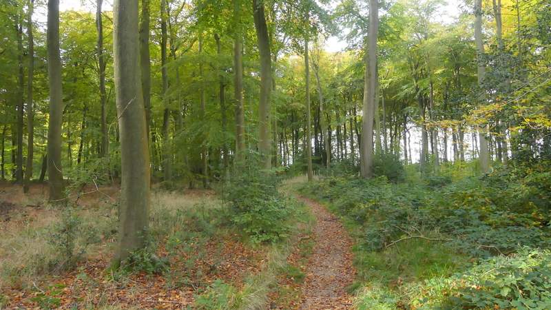
Beyond a large arable field on my left, the path continued through another wood, Nuney Wood. It stayed quite close to an edge of the wood on my right, before turning half-left and soon emerging in the hamlet of Nuney Green. Here I went straight on down a lane. Where this turned slightly left, I took a bridleway that started through the wood to my right, Nuney Copse. At the first path crossroads I came to I turned left (I missed this turning the first time I came here, so I was pleased to see there were new arrows painted on a couple of trees - I could also see the remains of an old painted arrow, and could see how leaves would have obscured it and so caused me to go astray that time). I followed the bridleway downhill into a slight valley and then up the other side (somewhere here I entered Thicket Copse).
Nuney Wood
Bridleway through Nuney Wood, approaching Nuney Green
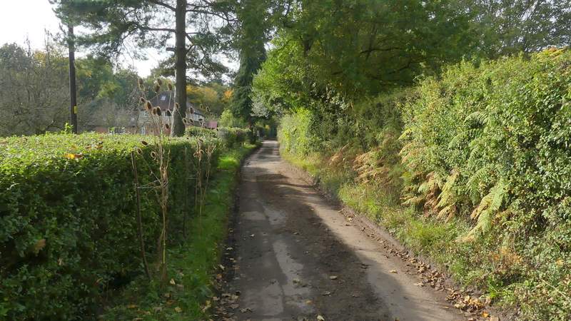
The lane through Nuney Green
Start of the bridleway through Nuney Copse
Nuney Copse, after the bridleway turns left
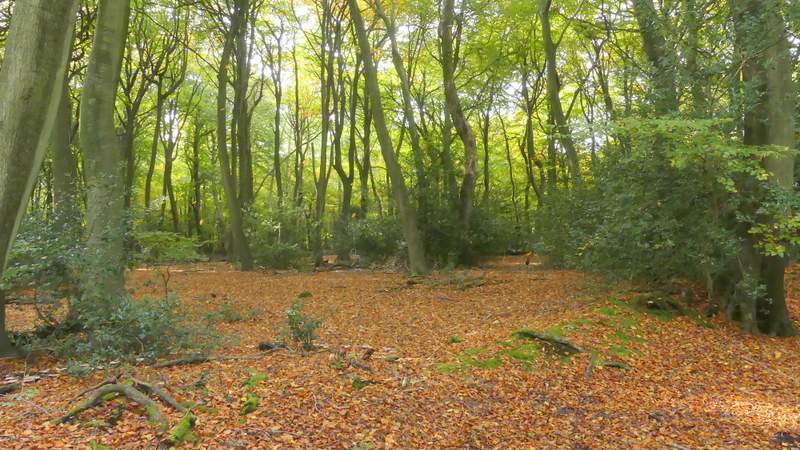
Nuney Copse
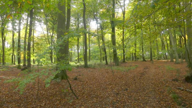
I think this is now Thicket Copse
The bridleway continued on through the woodland, soon moving from Thicket Copse into Gutteridge Wood. About half a mile after leaving the lane at Nuney Green I emerged from the woods at a minor road. Across this I continued along a footpath that followed a fence or hedge on my right through a rather rough paddock (this area is named Collinsend Common on the OS map). Over a stile and through a gate, the path continued along the edge of an old orchard (currently being regenerated) that doubled as a sheep pasture. I then turned left along a tree-lined surfaced drive that brought me to the hamlet of Collins End.
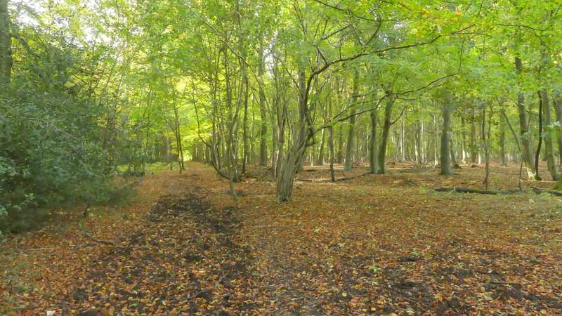
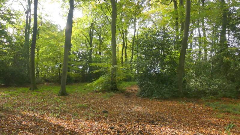
Thicket Copse
Thicket Copse
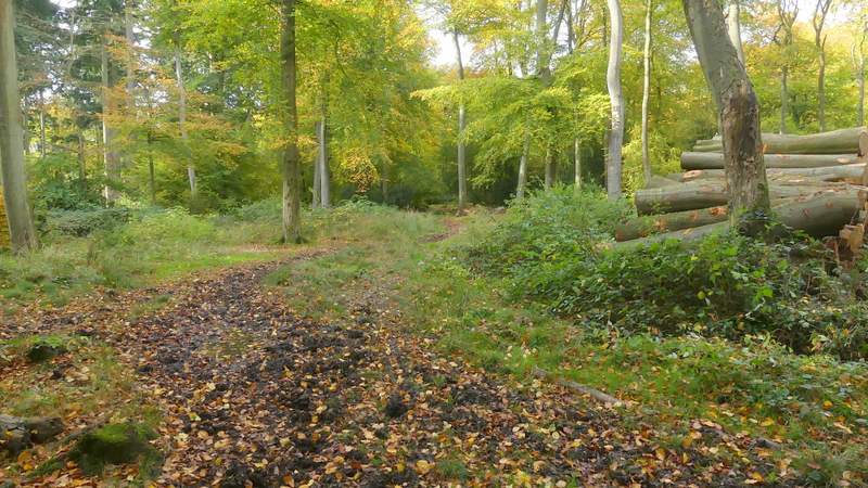
Gutteridge Wood
Gutteridge Wood
The path from the minor road, across Collinsend Common
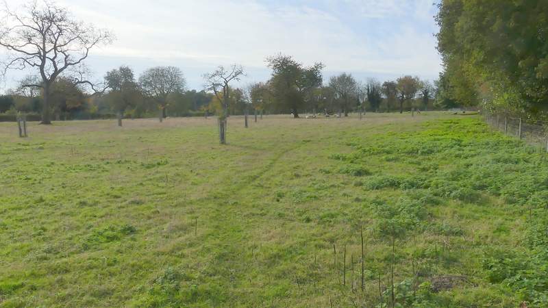
The path from the minor road, across Collinsend Common (the orchard here is being regenerated)
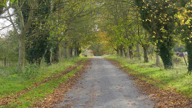
The drive, after I turned left at the end of the path across Collinsend Common, approaching Collins End
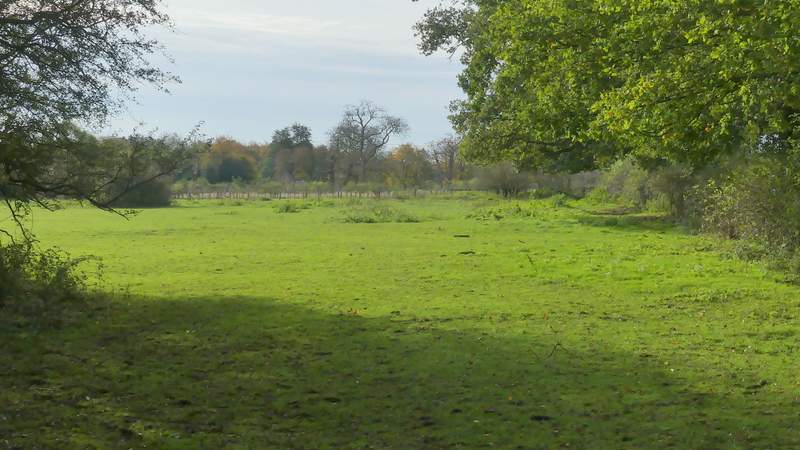
Where the surfaced drive ended, the bridleway continued just right of a thatched cottage (Holly Copse Cottage). The bridleway initially dropped downhill slightly through a wood, then after a few hundred yards I forked left onto a footpath (NOTE: NOT the obvious track going straight up the other side of the valley, you have to go a few yards left to a waymark post) - I was now following the signs for the Chiltern Way, which I'd now follow as far as Mapledurham. The path climbed gently up the other side of the valley, now in Bottom Wood. Soon I had an unexpected view along the valley to my left, because a large section of the wood had been cleared and replanted. Sadly a notice said this had had to be done because of Ash dieback disease. After some distance the wood became Westfordhill Copse, and when the path emerged from it there was a fine view over the Thames Valley towards Purley-on-Thames in Berkshire.
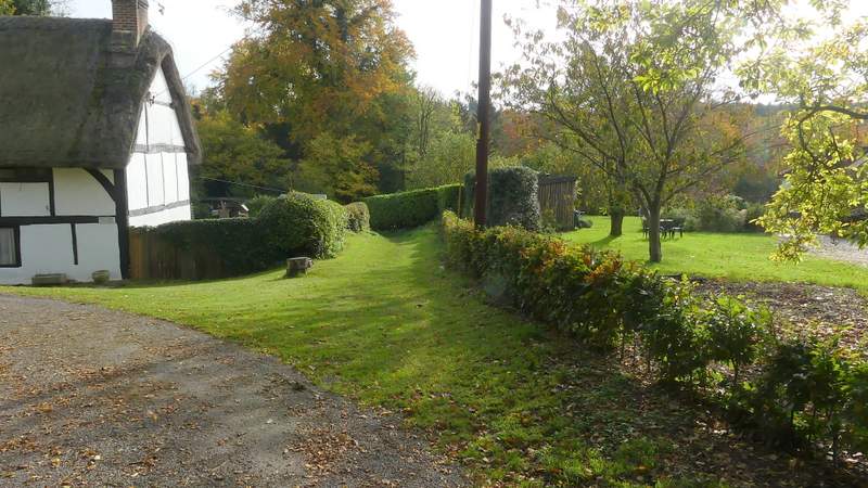
Collins End (the bridleway continues to the right of the thatched cottage)

The bridleway from Collins End
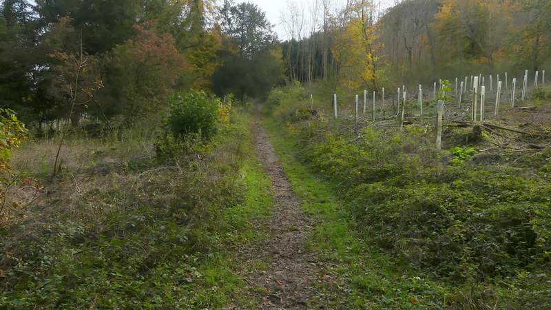
The footpath through Bottom Wood
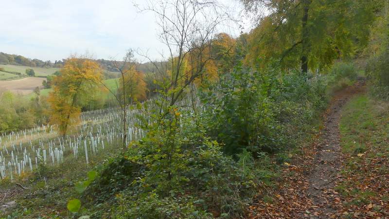
The footpath through Bottom Wood (part of the wood had been cleared and replanted due to Ash dieback)
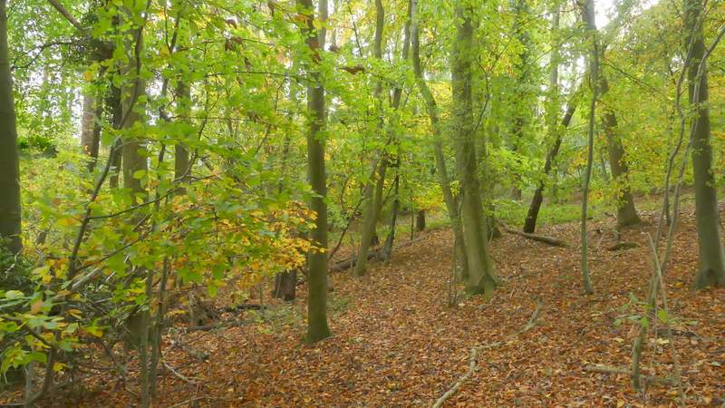
The footpath through Bottom Wood
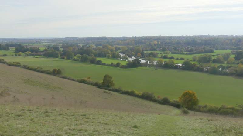
View over the Thames valley, from the edge of Westfordhill Copse (so I'm guessing this must be Westford Hill!)