Pete's Walks - Pitstone Hill, Dagnall, Ashridge (page 1 of 6)
If you are considering walking this route yourself, please see my disclaimer. You may also like to see these notes about the maps and GPX files.
I did this circular walk of about 14 miles on Saturday, 28th December 2019. It was a repeat of a walk I did in January 2018 (which was a slight variation of a walk I originally did in September 2009). Unfortunately this was a very grey and dismal day, so my photographs are all somewhat dull. This was my firts long walk for about six weeks, as I've been having treatment from a physiotherapist for a back problem.
I parked at the Pitstone Hill car park (grid reference SP 954148) and started walking about 9.45am, crossing the lane and following the Ridgeway national trail towards Steps Hill. After maybe a third of a mile I went straight on at a path crossroads, the Ridgeway now gradually steepening and eventually curving left around the head of Incombe Hole to reach the top of Steps Hill. Shortly after passing a gate on my right, I took the middle of three paths over the grassy top of the hill, going half-left (the Ridgeway went straight on). This path soon turned right, running across the scrub-covered hillside. On going through a gate I rejoined the Ridgeway, as I continued straight on through more scrubby downland, turning left when I reached a path junction just yards from the road that snakes round Ivinghoe Beacon. Across the road I turned left and went up to the top of the first and larger of the two 'hillocks' behind Ivinghoe Beacon. At its top, where there are the remains of a tumulus (ancient burial mound), I turned right and followed a path that after a couple of hundred yards or so merged with the main path from the road crossing, which I followed to the top of Ivinghoe Beacon (the steep part of the path has been cordoned off to give it a chance to recover, you now have to go up a parallel path beside a line of bushes).
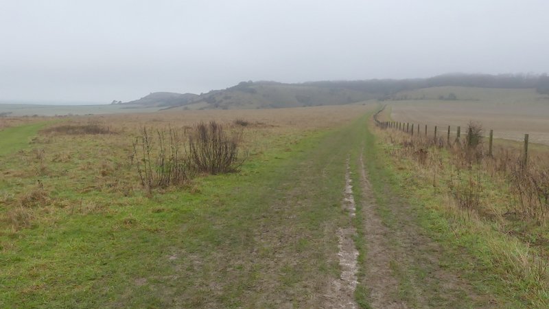
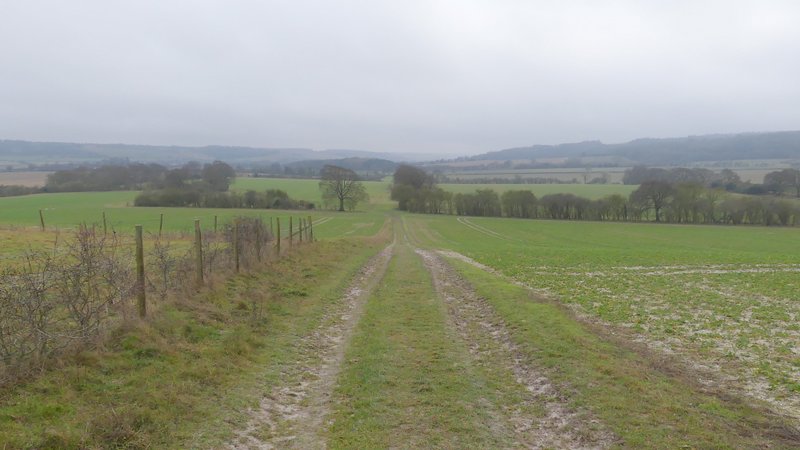
The start of the walk, following the Ridgeway towards Steps Hill
The Ridgeway heading towards Steps Hill
Approaching the top of Steps Hill
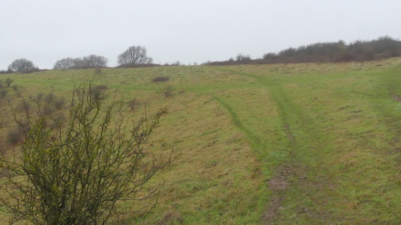
I took the middle path on top of Steps Hill (heading to the middle of the skyline in this photo)
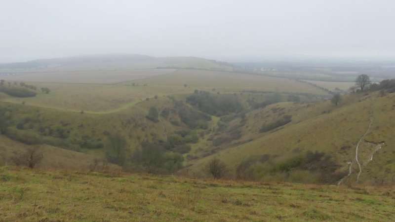
Incombe Hole, from the top of Steps Hill
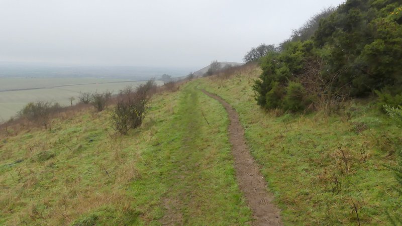
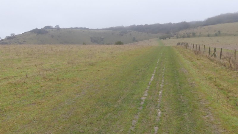
The path from Steps Hill to Ivinghoe Beacon
The path from Steps Hill to Ivinghoe Beacon
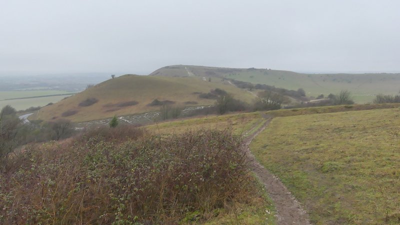
From the first 'hillock' looking over the minor second 'hillock' to Ivinghoe Beacon

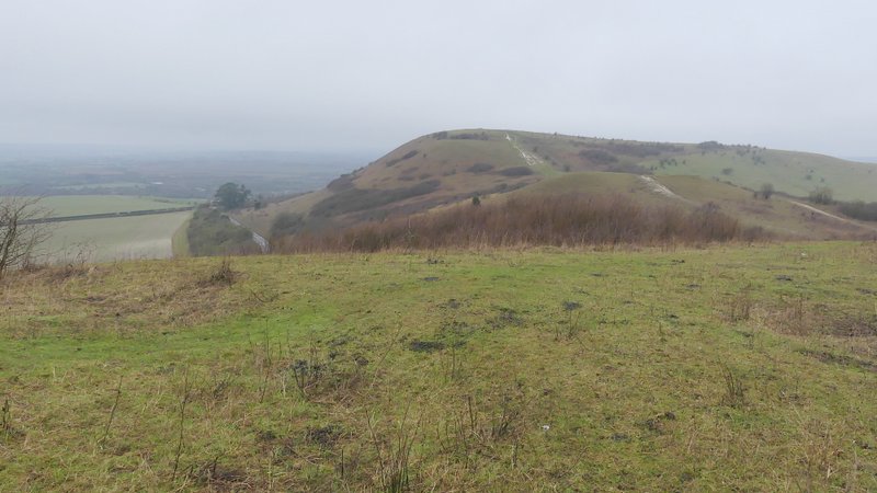
Approaching Ivinghoe Beacon (the chalky path up to the top has been roped off so that the grass can regenerate, you now have to go up just right of the line of bushes)
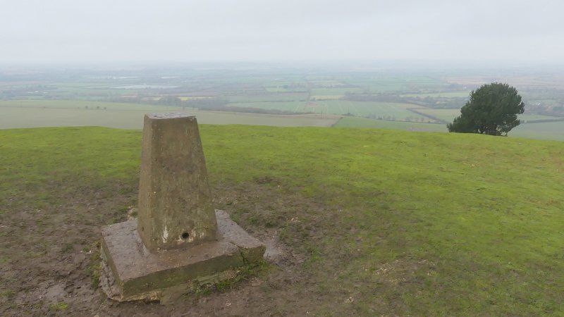
View from the top of Ivinghoe Beacon
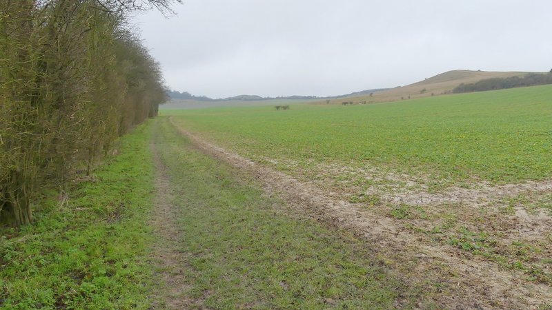
After taking some photographs, I turned right and followed the grassy ridge from Ivinghoe Beacon to Gallows Hill. Because of the grey and slightly misty conditions, the usually fine views in almost every direction were nowhere near their best. I continued almost to the prominent burial mound near the end of the ridge, turning right onto a track just before it. At the bottom of the slope I turned right, initially with a tall hedgerow on my left and then continuing across a headland between two green arable fields, with the Beacon and its hillocks over to my right. After going through a gate, I continued through an area of grass at the bottom of a steep slope (leading up to the car park for Ivinghoe Beacon) a short way, then turned left at a path junction and followed a path leading to a gate and a wood.
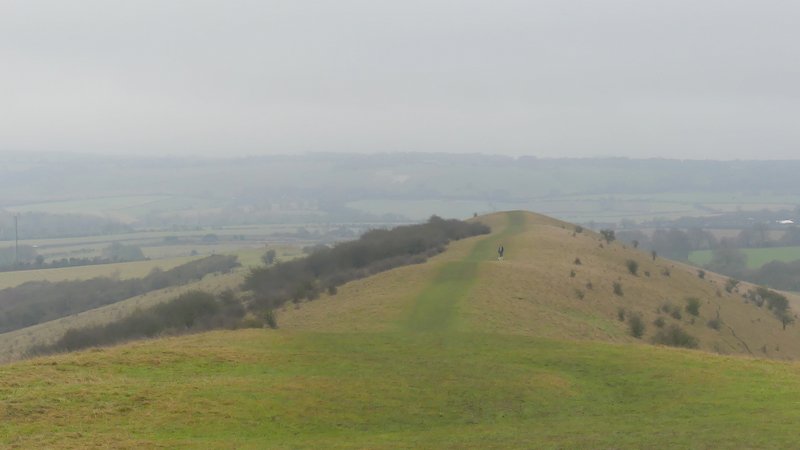
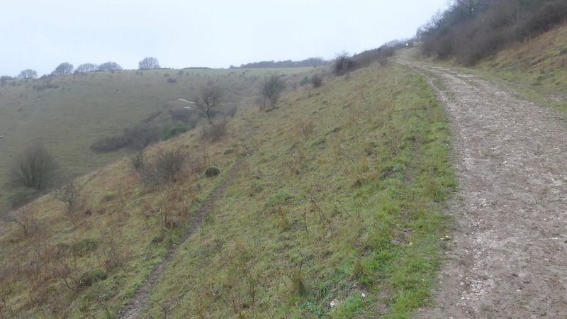
The path from Ivinghoe Beacon to Gallows Hill
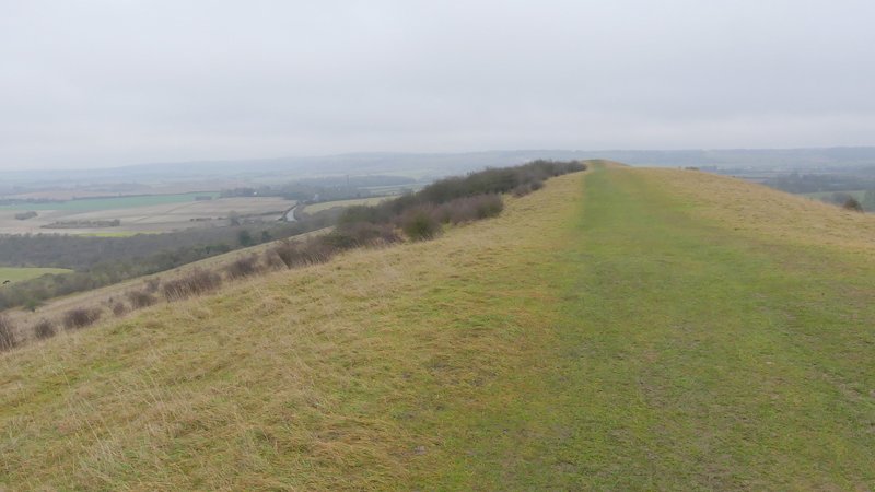
The path from Ivinghoe Beacon to Gallows Hill
The path from Ivinghoe Beacon to Gallows Hill
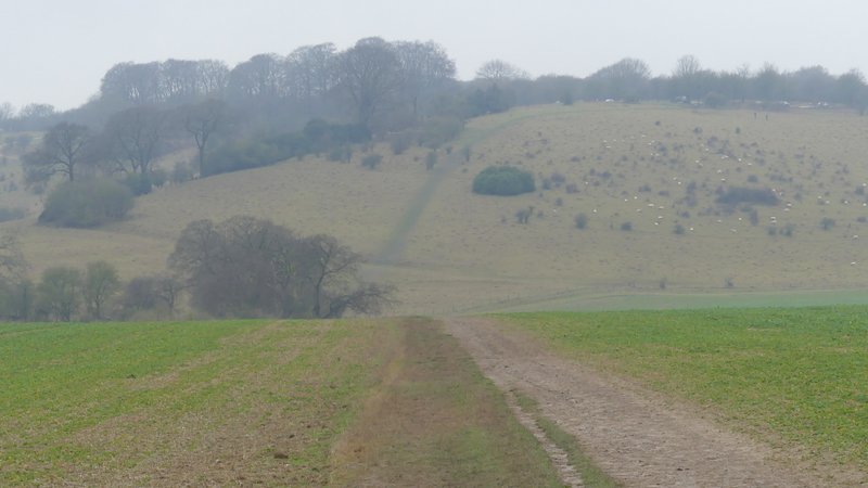
The path down from Gallows Hill, with what becomes the Gade Valley in the background
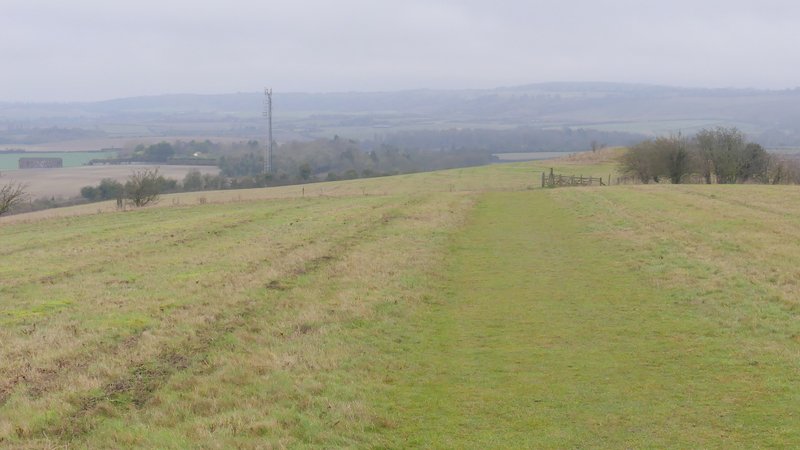
The path after I turned right at the foot of Gallows Hill
The path after I turned right at the foot of Gallows Hill (I turned left, just before reaching the steep hillside)
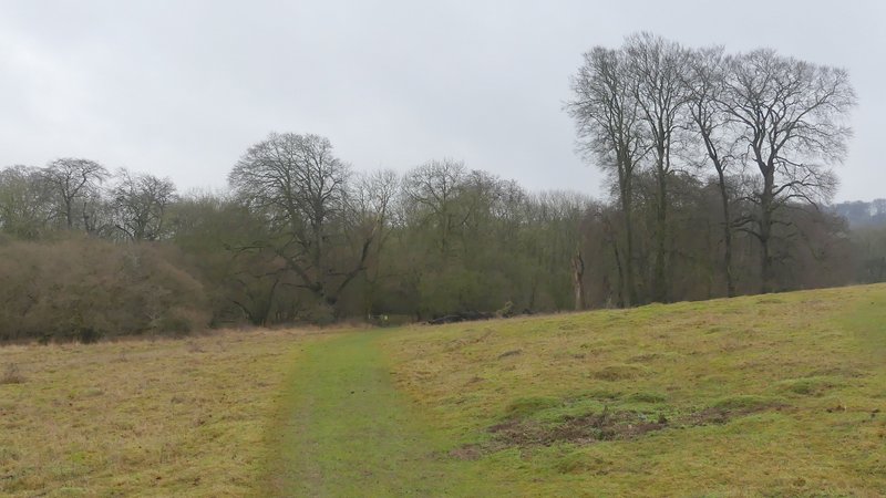
Approaching the wood on the way to Ward's Hurst Farm