Pete's Walks- Redland End and Bryant's Bottom (page 1 of 5)
If you are considering walking this route yourself, please see my disclaimer. You may also like to see these notes about the maps and GPX files.
I did this circular walk of about 7.7 miles on Sunday, 12th January 2020. It was a repeat of a route I first walked in April 2015
I parked in the remote hamlet of Redland End, where a footpath crosses a lane at Grid Reference SP 834021 (the same spot where I'd started last week's walk). I started walking about 11.40am, going over a stile and following a footpath along a grassy strip with mainly conifers either side. I immediately spotted three or four Roe Deer amongst the trees, making it two walks in a row that I've seen them. The path soon led to a lane, where I turned right and immediately came to a junction. On the other side of it, a footpath sign indicated the way I wanted to continue, along a surfaced drive through woods towards Coppice House (the house name on the gates confirmed I was on the right path).
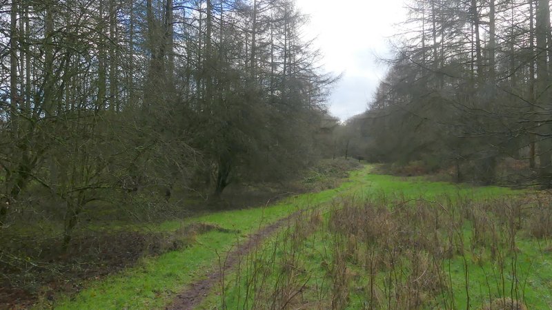
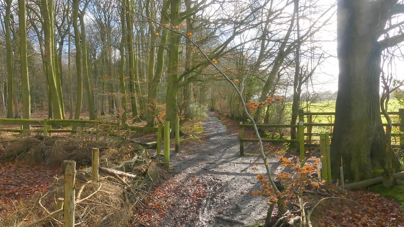
The path from Redland End
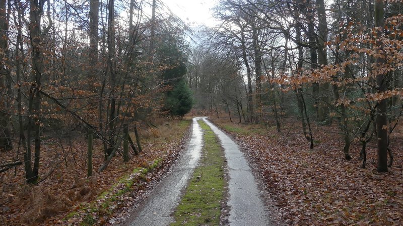
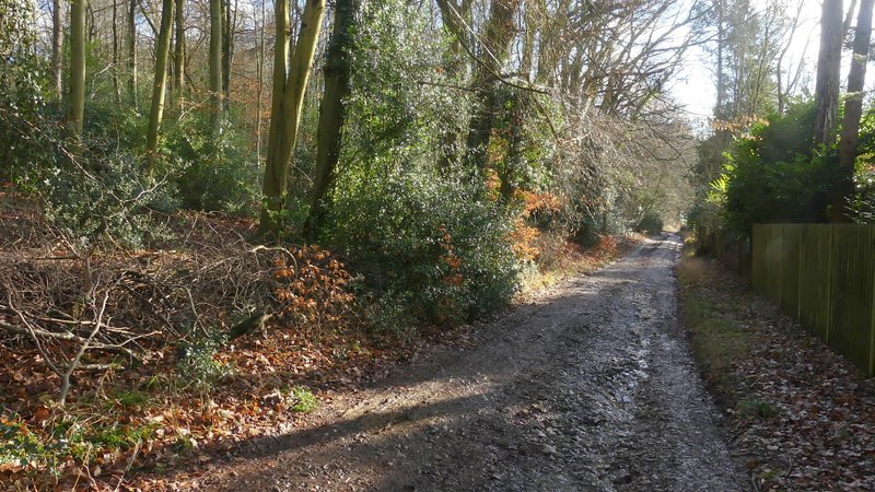
The drive to Coppice House
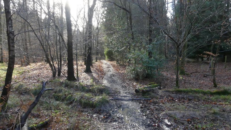
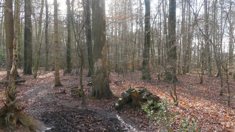
After a few hundred yards, a little before the drive reaches Coppice House, a footpath crosses the drive (there isn't a sign or waymark, but a gap in the wire fence on the left indicates where the path goes). It wasn't too clear from the OS map, but to continue southwards through Monkton Wood I had to turn left through the gap in the fence, then after only a few yards take the right fork at a path junction. The muddy path was obviously well-used and easy to follow, certainly clearer than when I walked here in 2015. At one point I reached a bend in a gravel track, where I turned right along the track for a few yards before turning left and continuing through more of Monkton Wood. There were plenty of white arrows on trees pointing the way, though these were hardly necessary as there were now logs or branches lining both sides of the the path. Since 2015 the path seems to have been corrected so that it matches what is shown on the OS map - it now ends at a T-junction with the edge of the wood immediately in front of you, where I turned left to reach a path crossroads where I went straight on along a path along the south-western edge of Monkton Wood
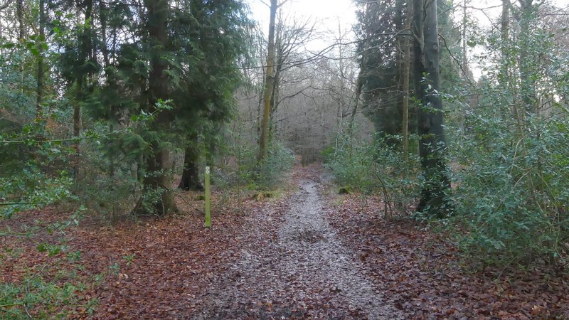
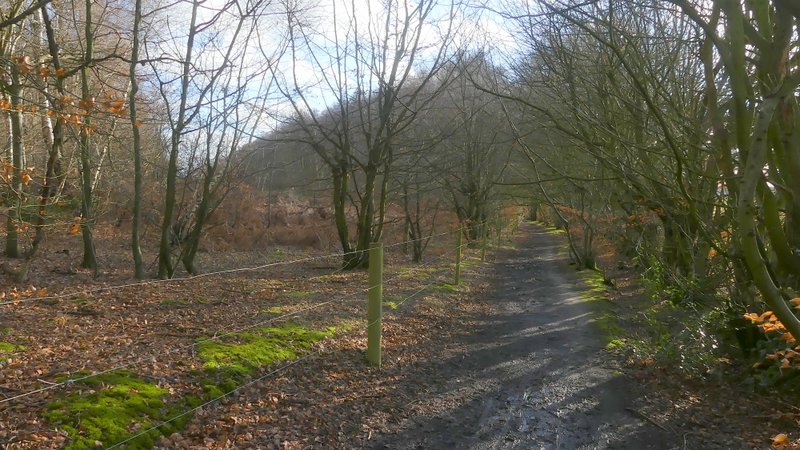
The path through Monkton Wood
The path through Monkton Wood
The path through Monkton Wood
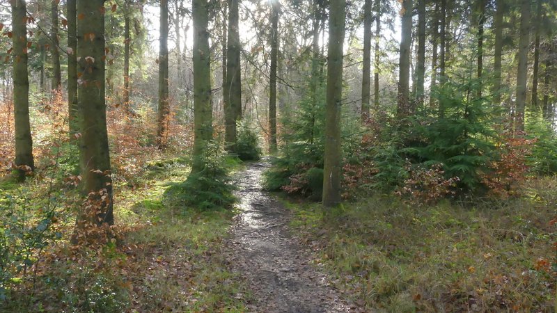
The path through Monkton Wood
The path through Monkton Wood
The path through Monkton Wood
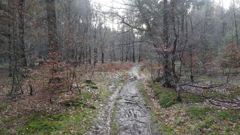
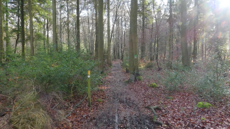
The footpath along the south-western edge of Monkton Wood, approaching the path crossroads at the edge of the wood
This path was quite pleasant, with the wood extending to my left and sheep pastures just to my right. Unfortunately it was particularly muddy today, and there were several spots where I had to somehow squeeze past almost ankle-deep patches of very wet mud (one reason I set off so late was that it had rained overnight and on until 9-10am this morning). Eventually the path led to a short gravel drive and then to a road on the edge of the village of Speen. I crossed over and continued along a bridleway following a track or drive, with College Plantation on my left and garden boundaries on my right.
The footpath along the south-western edge of Monkton Wood
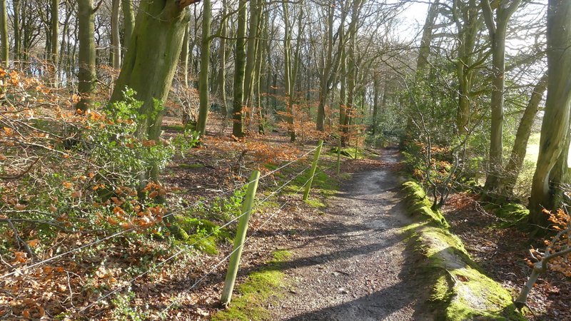
Near the end of the footpath along the south-western edge of Monkton Wood
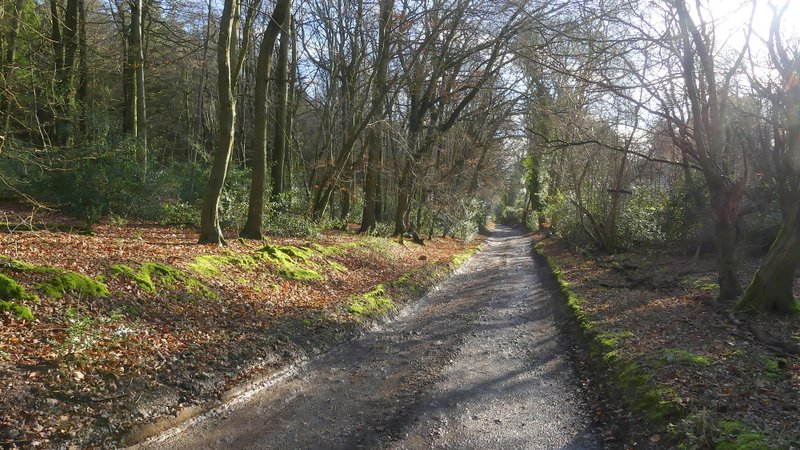
The bridleway on the edge of Speen, next to College Plantation
The bridleway on the edge of Speen, next to College Plantation