Pete's Walks- Redland End and Bryant's Bottom (page 2 of 5)
After a few hundred yards, I took a footpath on the right. This went up some steps between garden fences, then turned left and went through the ends of a number of gardens, with small gates between each one. On reaching a road I crossed over and went a few yards half-left down a short street, then took a footpath on the right. This led between two gardens, and on through a small meadow and then a couple of enclosures or pastures to a slightly staggered path crossroads.
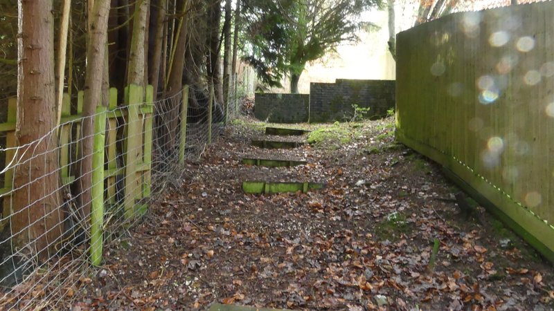
The start of the first footpath through Speen - it turns left and runs through the bottom of a number of gardens.
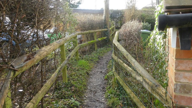
The start of the second path through Speen
The second path through Speen
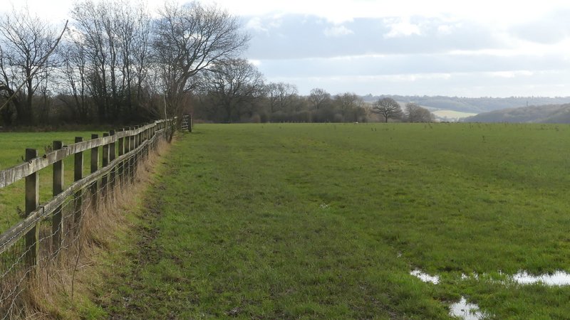
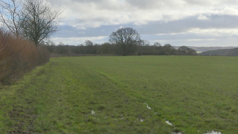
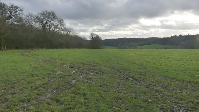
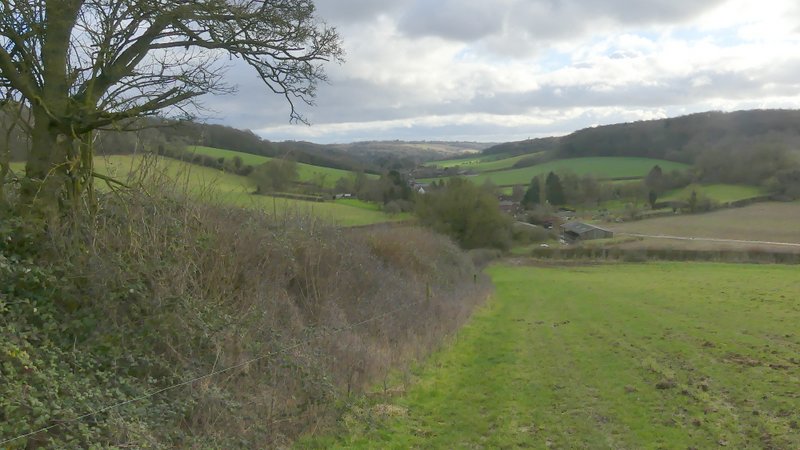
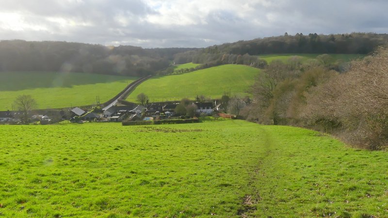
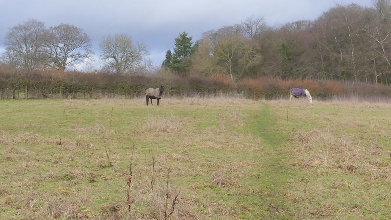
I turned left and followed a path beside a fence on my left, then further on a hedge, which ran for several hundred yard until it finally reached a field corner. So far the path had been flat, but as it then crossed part of a large empty pasture, gradually nearing the tall hedgerow on my left, I could see the ground starting to drop away ahead of me. On reaching the far left corner of the field and going through an open gateway (this was a small sea of oozing mud), the path continued downhill beside a hedge on my left, with a fine view ahead of me - the two valleys either side of me merged to form the Hughenden valley stretching away in front of me, with the villages of Upper North Dean, Lower North Dean and Hughenden itself visible ahead. The path dropped steadily downhill, then I went over two stiles in quick succession, and finally went past a farm to reach a road on the edge of Upper North Dean.
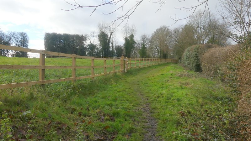
The start of the path going southeast from Speen to Upper North Dean
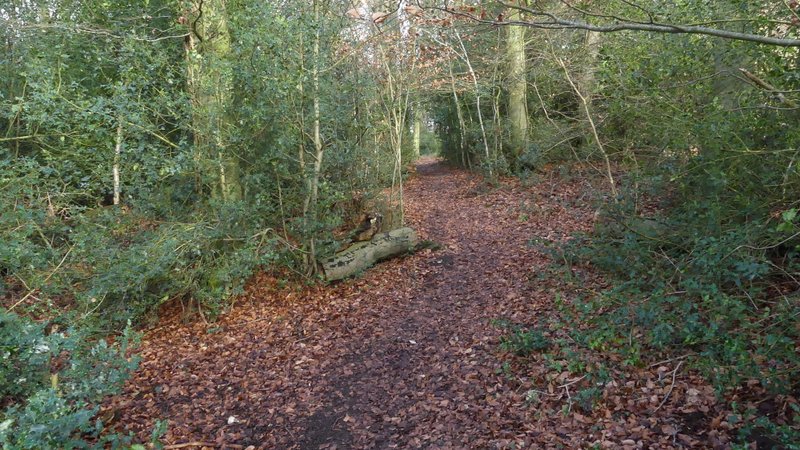
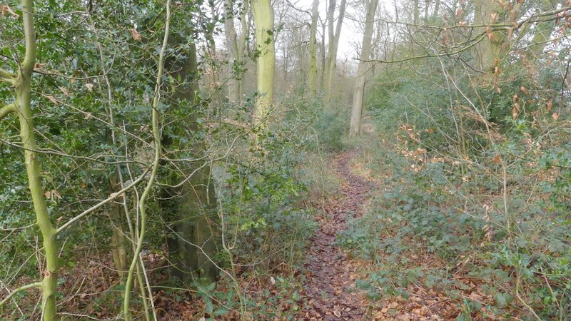
The path going southeast from Speen to Upper North Dean
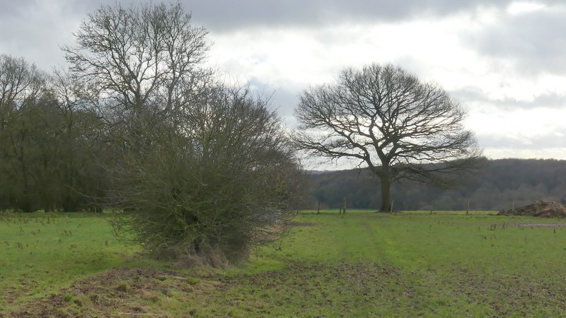
The path going southeast from Speen to Upper North Dean
The path going southeast from Speen to Upper North Dean
The path going southeast from Speen to Upper North Dean
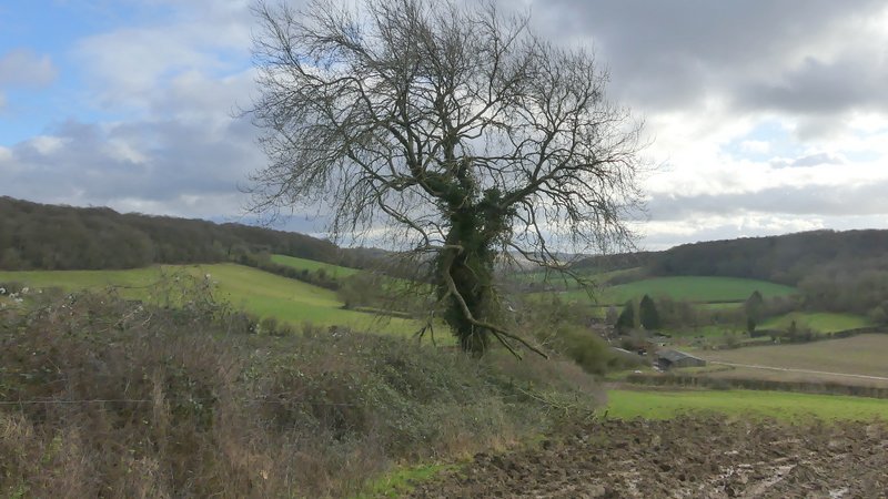
The path going southeast from Speen to Upper North Dean, near Bowley Wood
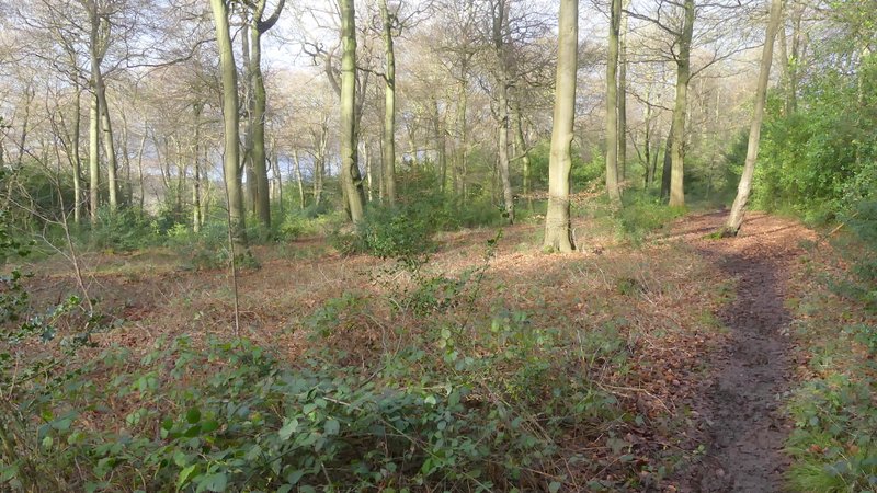
The same path now descending to Upper North Dean
In 2015 I'd turned left here, but as I'd found that bit of road walking a bit dangerous, today I turned right (this is 'Alternative 1' on my Google map). After two or three hundred yards I took a footpath on the left, which ran between two gardens either side, then followed the left edge of a sheep pasture uphill to Hill's Wood (it's much steeper than the photo below indicates!). The path continued straight on through Hill's Wood (in 2015 I said it was so named on the Google map, but I can't see any name for it there now). I then took the SECOND path on the left (where there was a building nearby on the right), continuing through more of the wood. I went straight on where a path came in from the left (the way I'd come in 2015), and then soon reached a fork in the path where I went right. The path soon appeared to continue ahead through a gap between wooden railings, but in fact it turns right here to go over a stile into a paddock. The path then went half-left (with your back to the stile) across this paddock to a metal kissing-gate in a hedge, continuing in the same direction across a second paddock to reach a drive next to Piggott's Wood.
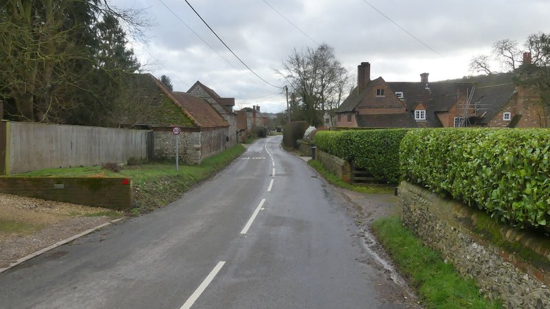
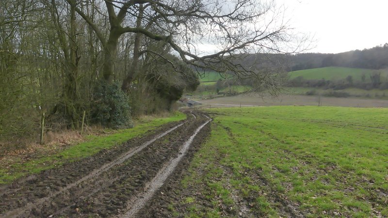
The road through Upper North Dean (I turned left onto a footpath close to where the road goes out of view)
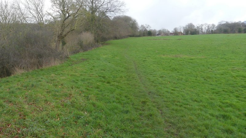
The path up to Hill's Wood - steeper than my photo makes it look
Looking back over Upper North Dean from the path to Hill's Wood
The path continuing through Hill's Wood
The path after I turned left in Hill's Wood
The path after I turned left in Hill's Wood
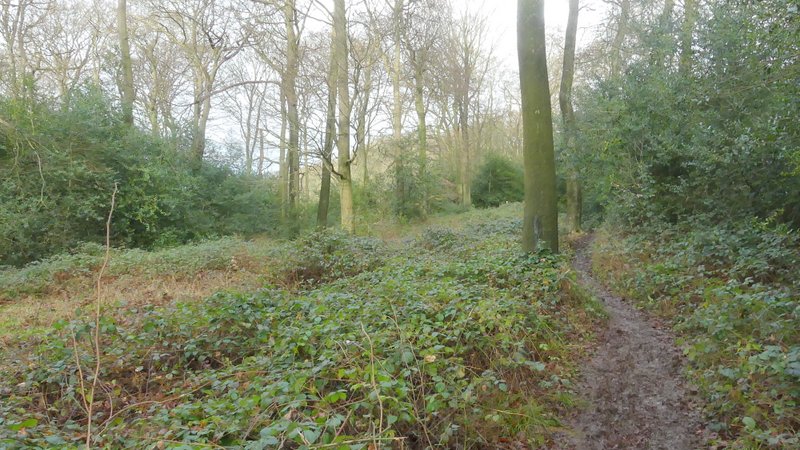
The path after I turned left in Hill's Wood
The path after I forked right and left Hill's Wood