Pete's Walks- West Wycombe, Green End, Bradenham, Downley (page 3 of 4)
I crossed over, and went left for two or three hundred hundred yards or so, before forking right along a lane (blocked to traffic at this end by the road). The lane took me on to the village of Bradenham, where I turned right onto a bridleway on a track, with the large green and cricket pitch on my left - ahead of me I could see the village church and the manor house. Beyond a small car park near the manor house, the bridleway turned slightly right (with the boundary wall of the Manor house on my left), and then a little further on turned left (still alongside the wall). I ignored a track going uphill to my right here, but within a few yards the track I was on soon turned right itself, and part way up a wooded slope the two tracks merged, continuing on to reach part of Naphill Common near Bradenham Hill Farm.
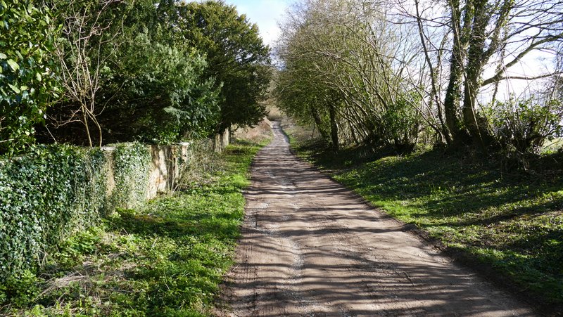
The start of the lane into Bradenham
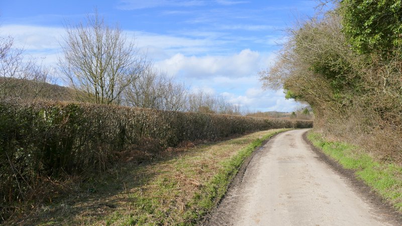
The lane into Bradenham
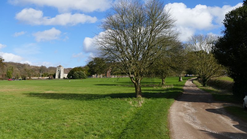
The green and church at Bradenham
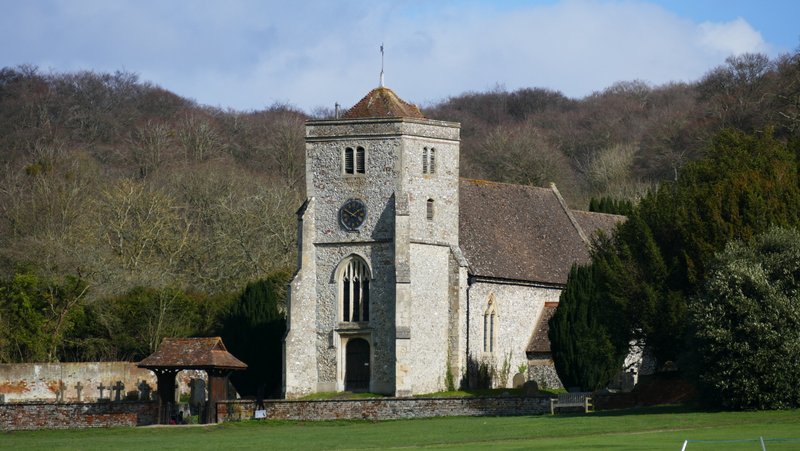
Bradenham church
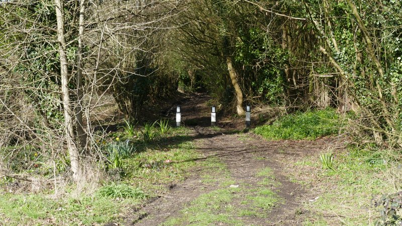
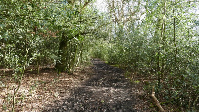
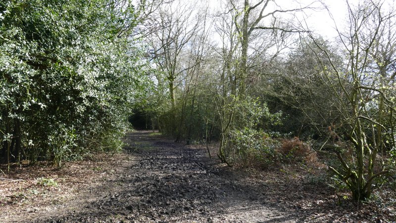
Start of the bridleway from Bradenham to Naphill Common
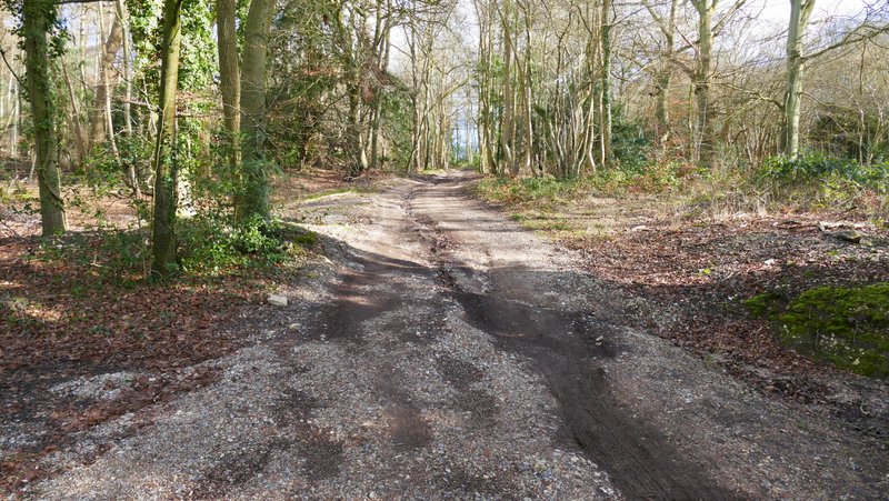
The bridleway from Bradenham to Naphill Common
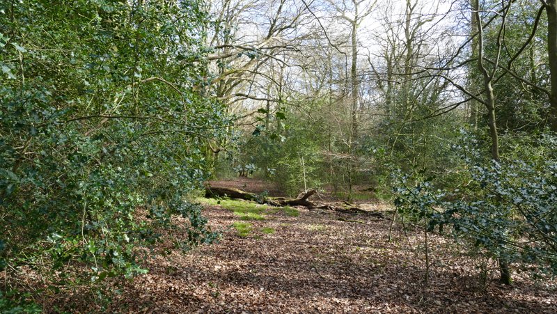
Naphill Common, near Bradenham Hill Farm
I have had problems finding my way through Naphill Common in the past, I don't think the paths on the ground always match those shown on the OS map (well that's my excuse and I'm sticking to it!). So I tried to keep navigation fairly simple. I continued straight on along the bridleway as it entered the woods of the common, and then kept very slightly right (almost straight on) at a bridleway junction (by the second information board I'd seen). After a junction where a footpath went across, the bridleway widened out. I went straight on where a footpath went left, almost immediately then passed a pond on my right (sadly, the large old beech tree that used to be here has come down), then after about another two hundred yards I took a footpath forking half-right.
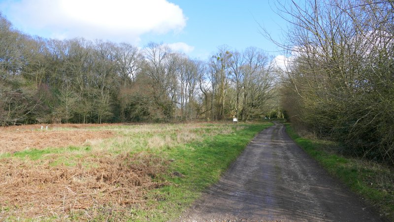
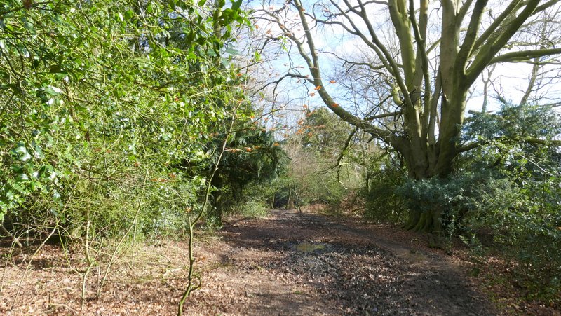
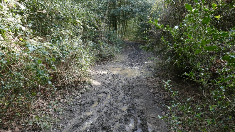
The bridleway going east on Naphill Common
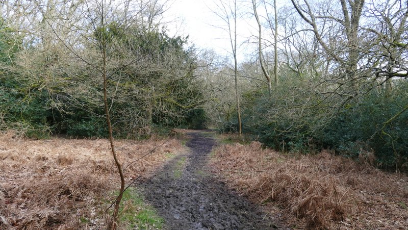
The bridleway going east on Naphill Common
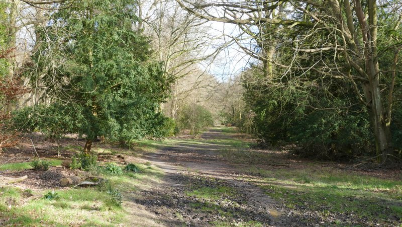
The bridleway going east on Naphill Common
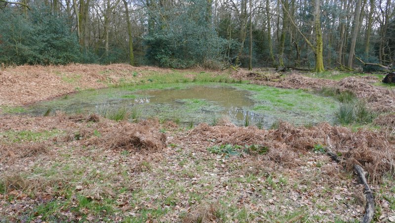
Pond on Naphill Common
The bridleway going east on Naphill Common, just before I took a path going half-right
The footpath soon went up and down a small dip. The path then merged with another one coming in from the left, and after a few yards I then turned left at another junction (if I'd gone straight on here I'd have entered a field). I quickly came to yet another junction, where I took the rightmost path. I was now on a path not shown on the OS map, but it is very clear and runs close to some fields on my right. I now tried to keep close to these fields - as long as they were nearby on my right, I would be heading in the correct direction. At some point I turned right when I reached a path junction, and now followed a bridleway through the woods southwards towards Downley Common, still with the fields not far away on my right.
The start of the footpath where I went half-right on Naphill Common
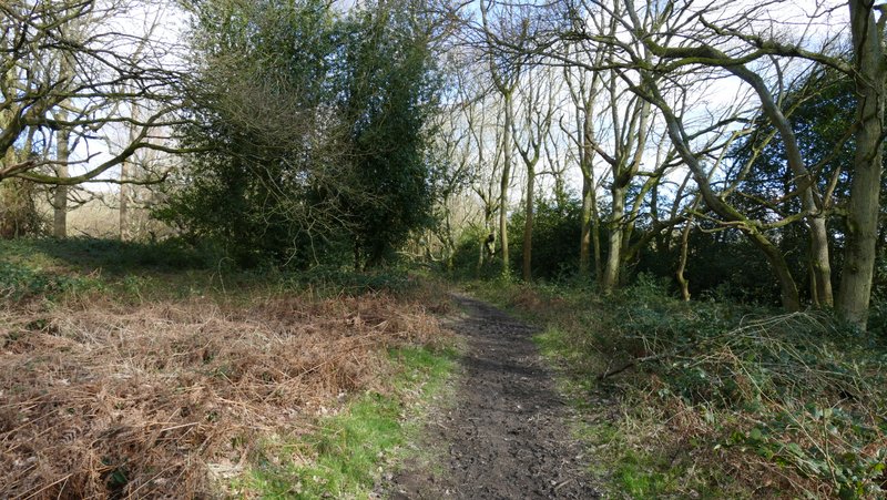
The path after the junctions, going southeast near the edge of Naphill Common
The path going southeast near the edge of Naphill Common
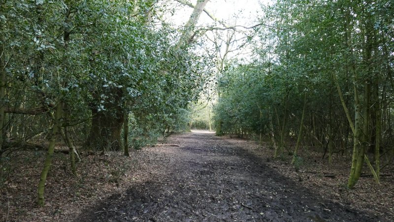
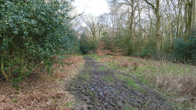
The bridleway going south on Naphill Common
The bridleway going south on Naphill Common
The bridleway going south on Naphill Common