Pete's Walks - Walk from Maidensgrove (page 2 of 6)
If you are considering walking this route yourself, please see my disclaimer. You may also like to see these notes about the maps and GPX files.
Google map of the walk Download GPX file of the walk
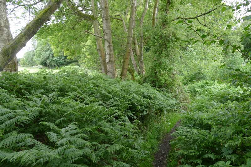
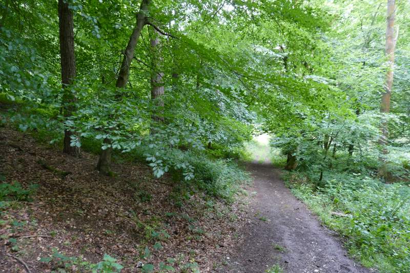
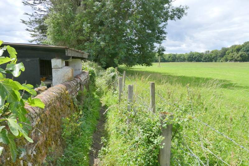
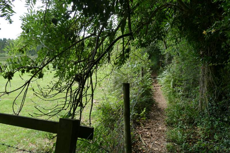
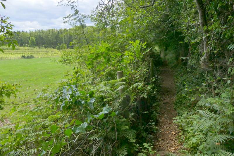
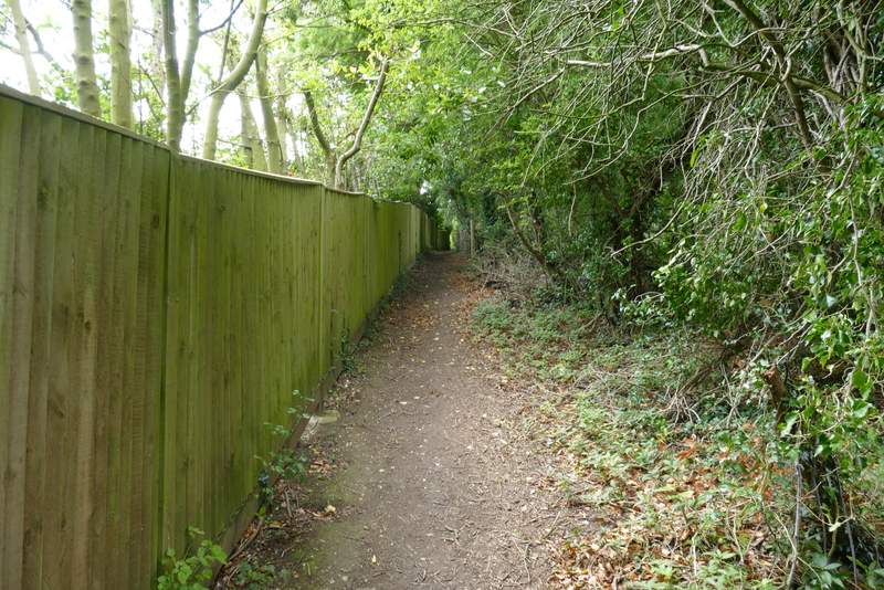
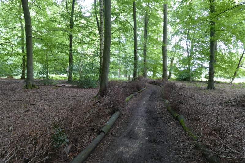
Across the road, I went down what looked like a lane but which a fingerpost indicated was actually a 'Restricted Byway'. After a couple of hundred yards or so, I turned left at a gateway onto a footpath through a wood named Hatch Copse. After a while I passed some farm buildings on my left, and soon after the path descended into a valley, continuing along a strip of grass in the valley bottom. I was now in Earl's Wood. I went straight on at a path crossroads and straight on again where paths went left and then right - there was a lot more Dark Mullein on my left here, where the trees had been felled some years ago. Eventually I approached what appeared at first to be a T-junction, but as I got there I saw the path went half-right here as it crossed a bridleway. I was now in a wood called Tartary, quite close to a field on the left. After another three or four hundred yards I took a path going uphill on the left, soon leaving the wood and running between tall garden boundaries, that took me to Rocky Lane.
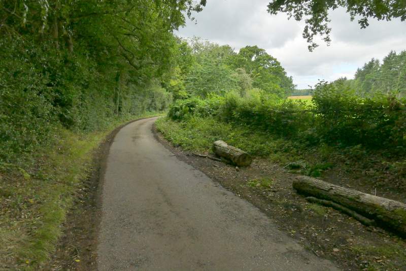
The restricted byway
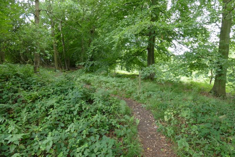
The start of the path through Hatch Copse
The path through Hatch Copse
The path through Hatch Copse
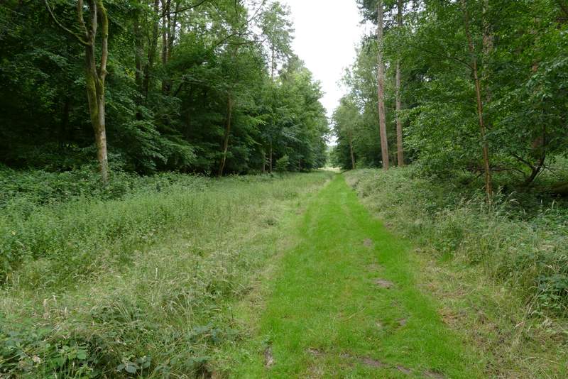
The path continuing through Earl's Wood
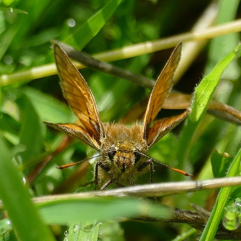
A Large Skipper with attitude!
The path continuing through Earl's Woodl
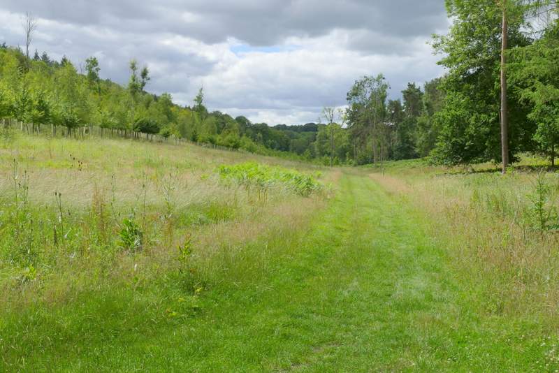
The path from Tartary to Rocky Lane
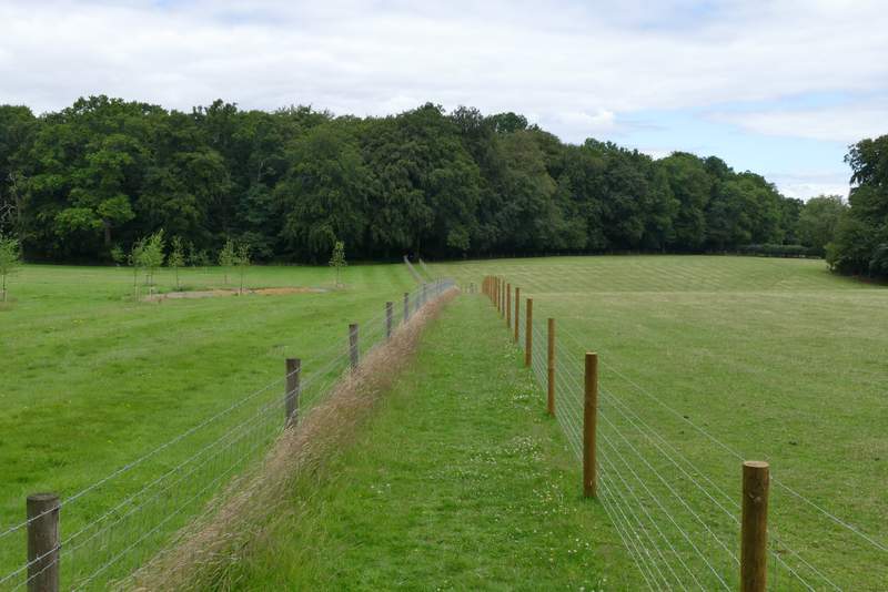
I went a short way left along the lane and then took a path on the right. This ran between wire fences, leading down and up either side of another valley - there was a large apple orchard to the left at one point, rather unusual in the Chilterns (though some parts were known for their Cherry Orchards at one timee). The path led to a track or drive, where I went a short distance right to reach the attractive hamlet of Shepherd's Green.
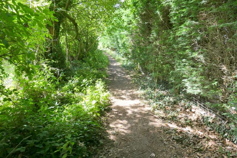
Near the start of the path from Rocky Lane to Shepherd's Green
The path from Rocky Lane to Shepherd's Green
The path from Rocky Lane to Shepherd's Green
The path from Rocky Lane to Shepherd's Green
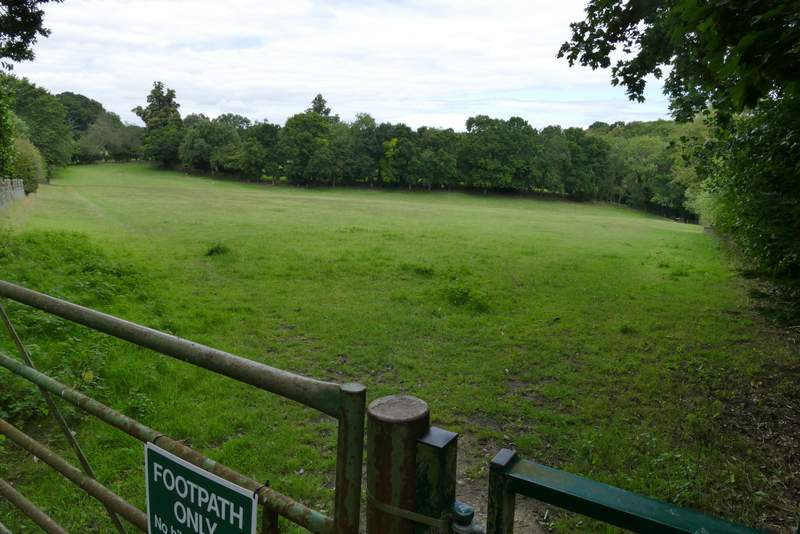
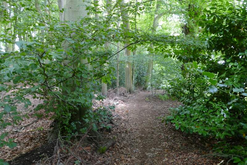
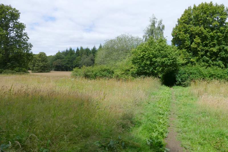
I kept to the right of the green in Shepherd's Green (beside a gravel drive), and continued on a path starting in the corner of the green. On entering a field I turned half-left along the edge of the field (another path went half-right here along another side of the field), beyond which I had fences either side as I passed between two pastures. The path then went through a small copse (near the village or hamlet of Satwell), then continued again between fences to reach Padnell's Wood. A short way into the wood I turned right at a path crossroads. On the far side of the wood I re-crossed Rocky Lane, soon going through some trees and bushes then crossing a field to reach a much larger wood, Holly Grove.
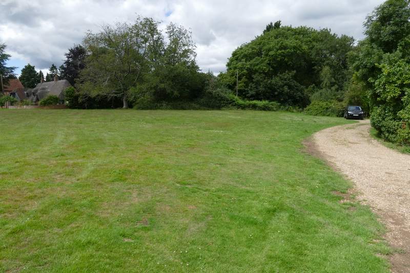
Shepherd's Green (the path continues in the corner just left of the car)
The path from Shepherd's Green (I went half-left here along the edge of this field)
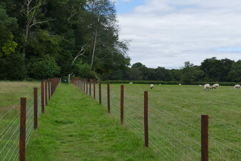
The path from Shepherd's Green
The path from Shepherd's Green
The path from Shepherd's Green
The path in Padnell's Wood, after I turned right
The start of the path after I crossed Rocky Lane