Pete's Walks - STevenage Outer Orbital Path (STOOP)
If you are considering walking this route yourself, please see my disclaimer. You may also like to see these notes about the maps and GPX files.
Day 4 17/09/09 Langley End to Graveley (6.9 miles each way, approximately)
Parked at Langley End.
Originally I'd planned on parking at Graveley and doing this walk 'backwards', but Roger Turner kindly emailed me about a car park in a disused pit at Langley End, very close to where I finished my previous walk, so I started there instead. Thanks again Roger! Unfortunately this was a day that remained grey and overcast throughout - until I saw the forecast on breakfast TV I'd been expecting a day of sunny intervals. With hindsight, I wished I'd done a local walk instead and saved this for a sunnier day.
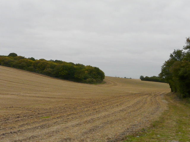
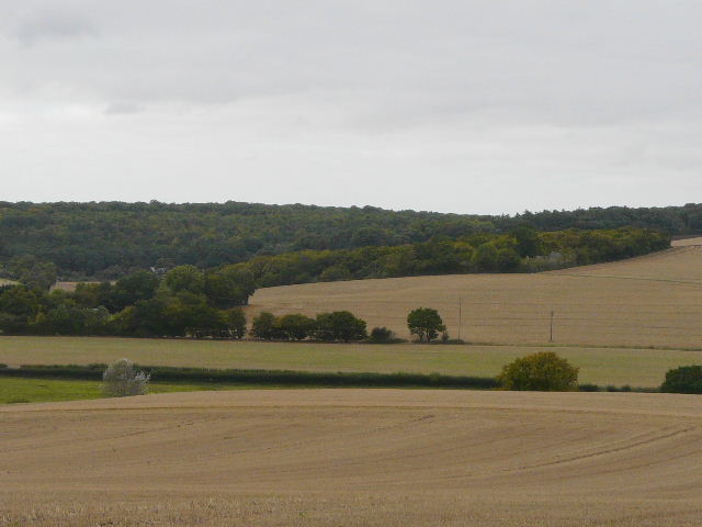
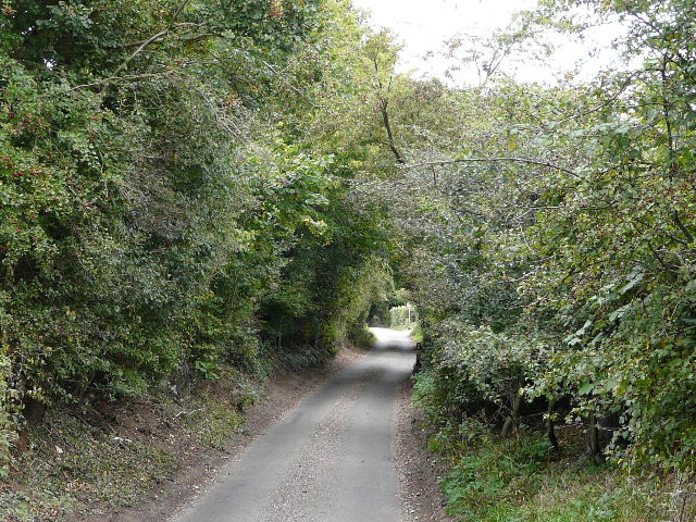
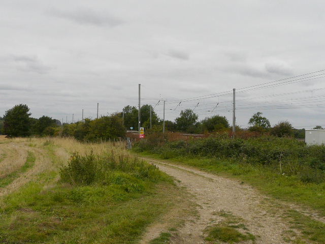
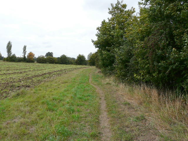
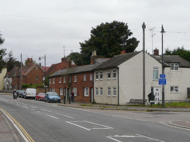
[1] The start of the walk, near Langley End
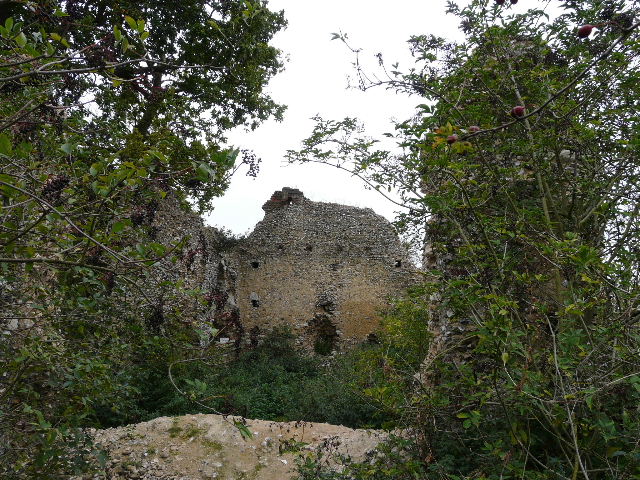
[2] Ruins of Minsden Chapel. Click here to see what it looked like in April 2007.
/cw2_day_7/2007_0407_092156AA.JPG)
[3] The path to Almshoebury
I started walking about 9.55am, after a car journey of about 35 minutes. There was a short walk along a minor road from the car park to where I'd finished my last section of the STOOP, where a bridleway crosses the road. I followed the bridleway along the field-side of a hedge next to the road for about 100 yards [1], before it went half-left across the stubble, going uphill to the corner of a wood. I continued with the wood on my left for a few hundred yards. In the far corner were the remains of Minsden Chapel [2], which I remembered well from the Hertfordshire Way and my two Chiltern Way walks. I saw straight away that an entire wall with an arched doorway had collapsed and disappeared since I was last here almost two and a half years ago.
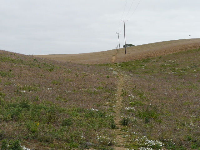
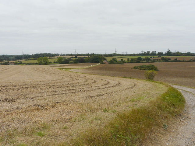
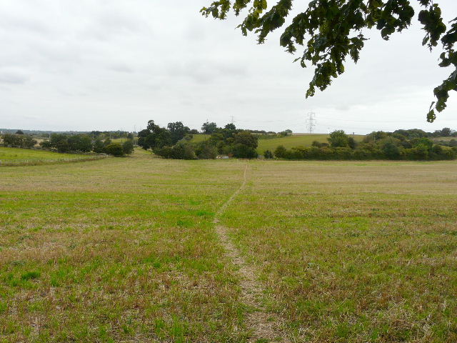
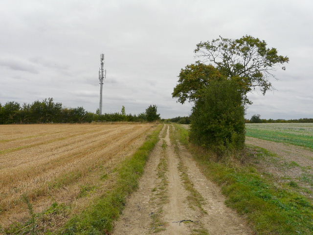
The pathway now continued downhill through stubble, briefly running between hedges either side before following a single hedge on the right. On my return I would see two Buzzards and a few Long-tailed Tits here. At the valley bottom the bridleway went through the grounds of a pub to reach a busy minor road (this place is marked Chapelsfoot on the map, perhaps indicating the previous significance of the old chapel). I went a few yards right, leaving the Chiltern Way but still on the Hertfordshire Way, and took a path on the opposite side of the road. This led steadily uphill across more fields of stubble [3,4,5] to reach the prominent buildings of Almshoebury Farm on the skyline. Part of this path had not been apparent when I did the Hertfordshire Way four years ago and I'd had to go round a couple of field boundaries.
[4] The path to Almshoebury
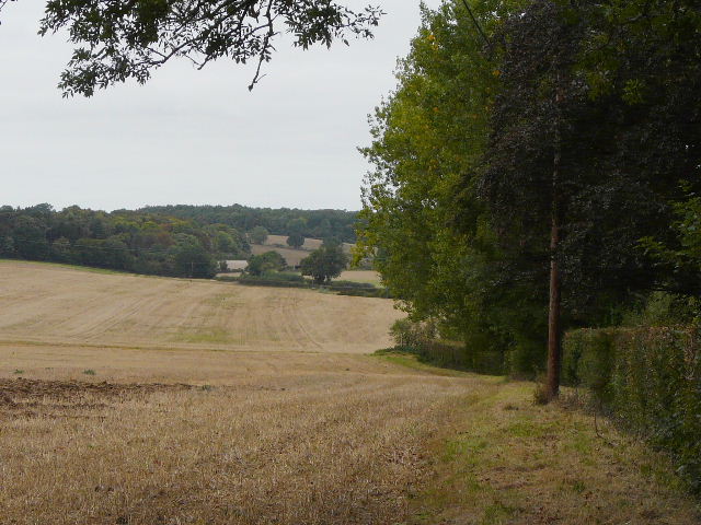
[5] Looking back over the valley towards Minsden Chapel, from the path to Almshoebury
[6] The farm track north of Almshoebury
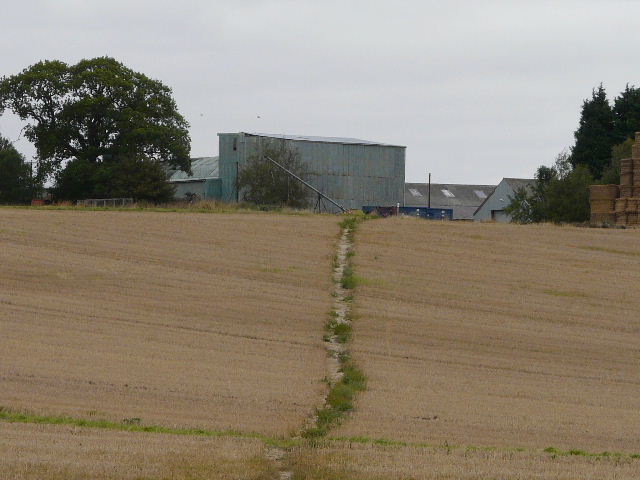
I followed the waymarked route through the large farmyard, and took the bridleway heading north (where I saw some nice blue Chicory growing). As I started to descend a hill, I remained on a gravel farm track as it went half-left, leaving the Hertfordshire Way which continued northwards. The track descended very gently between another stubble field and a field on the right that had already been ploughed [6], with quite extensive views ahead. At the bottom of the slope I passed a row of cottages on my right, after which I turned left on a path beside a tall hedgerow [7]. At a gap in the hedge on my right, I turned into a small meadow, and went half-left to a corner beside another cottage and reached a lane.
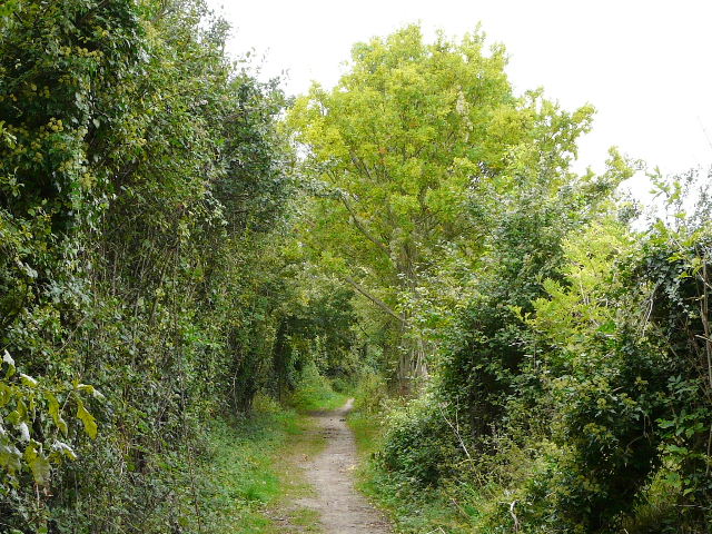
The end of the lane was just a few yards to my left, where I turned right onto another lane going uphill between hedges. After a couple of hundred yards or so this turned right, but the STOOP continued ahead on what was obviously an old lane, with grass growing through the middle of the tarmac [8]. At the end of this track, two dogs barked fiercely from behind the fences of the cottage on the left. I went a few yards left to a lane junction, where I turned right and followed another lane [9] a short distance into the village of St Ippollitts (curiously, the parish name is spelled St Ippolyts).
[7] The path from the cottages
[8] Looking back along the old lane
[9] The lane into St Ippollitts
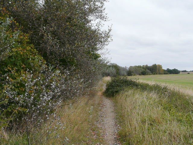
I reached the small village green with the church opposite on the left [10]. I took a very quick look inside the ancient church (annoyingly I had no change to buy the 20p guide), then continued on my way. A footpath led from the green, past a school on my left, crossing a private drive and continuing between garden fences for a few yards. It then crossed a green field [11], descending slightly to a valley bottom where I crossed a small bridge over the Ash brook. The STOOP turned right here alongside the hedge beside the brook (I didn't really see any water in it), soon passing a wood on the right (on my way back I tried the alternative path just inside the wood mentioned in the 'Route Directions'). After following the edge of a meadow, I then passed under a bridge carrying the A602 between Hitchin and Stevenage (a road I use frequently), at this point a dual carriageway [12]. After another meadow, I reached a road just west of Little Wymondley.
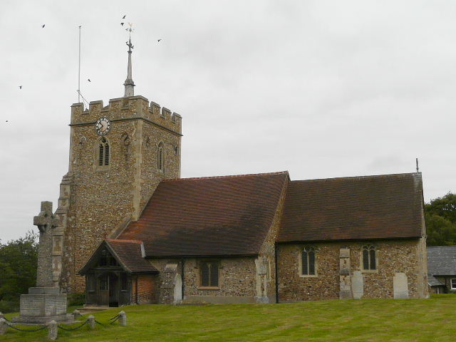
[10] St Ippollitts church
[11] The path leaving St Ippollitts, the Ash brook runs along the far hedgerow
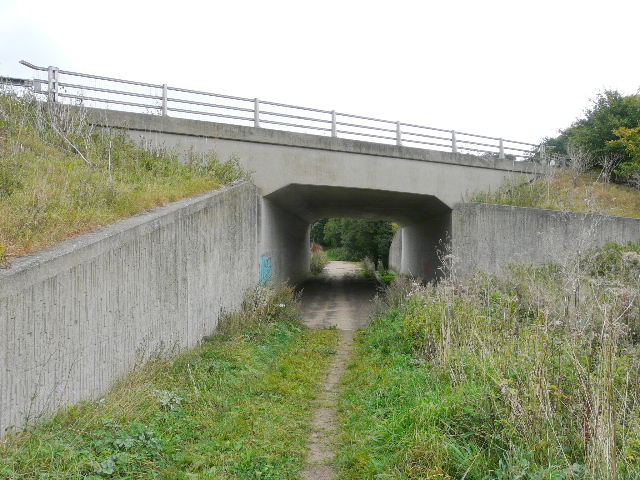
[12] The bridge under the A602
I went right for a few yards to a roundabout, where I turned left. The following quarter of a mile road walk was fine now (I spotted some lovely Common Toadflax here), but was a bit of a pain when I came back about 1.15pm, as I frequently had to press myself into the hedgerow as cars came by. The Stoop then followed a clear bridleway heading half-left past more stubble [13], which passed under a railway line and continued on [14] to reach a road beside a cottage. I wasn't really aware of it, but I was only two or three hundred yards from the edge of Hitchin at this point.
[13] The track as it reaches the railway line
[14] The track continuing beyond the railway line
[15] The path next to the lagoons
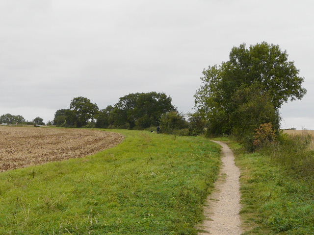
The track continued across the road, with some lagoons beyond the hedge on my left (they were obviously used by anglers, amongst others) [15]. Lost in a daydream (as so often!) I stupidly went straight past the turning on the right I needed to take after about 250 yards, and had to turn round and go back a couple of hundred yards. The footpath followed a tall hedgerow on my right, passing through a couple of ploughed fields [16,17] and then yet another field of stubble. When I reached the far corner of this last field, the path didn't go through the wide gateway onto a road but turned left and kept inside the field along the hedgerow. The STOOP then crossed the road at the next field corner, going through a hedge gap on the other side and turning right along the hedgerow (again beside the road) for a couple of hundred yards until it met a footpath. This seemed a little long-winded, but avoided a stretch of walking along the narrow verge-less road.
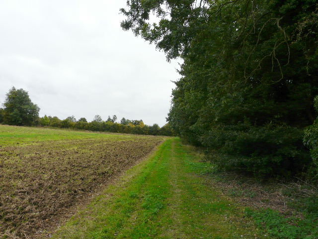
[16] The path heading away from the lagoons
[17]The path heading away from the lagoons
[18] Attractive path south of Willian
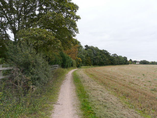
As I turned left onto the path, I was rejoining the Hertfordshire Way. I remembered this section well, and liked the path which was bordered by some attractive trees [18]. Further on it passed a wood on my left, and at the end of the wood reached a bridleway. Here I turned right, following a hedgerow on my right where a couple were picking some of the abundant blackberries. The bridleway was gradually converging with the A1(M) [19]. I was pleasantly surprised that when it reached the motorway, the bridleway only ran alongside it for a few yards, my memories from the Hertfordshire Way had told me that there was a lengthier stretch beside the noisy road.
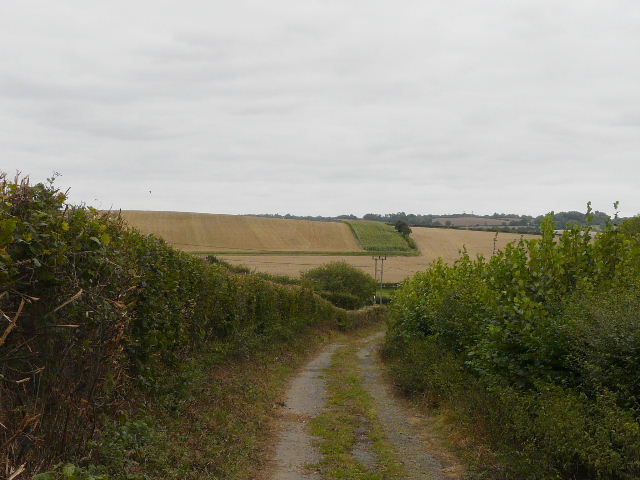
I turned left on a road that passed under the motorway, and almost immediately took a path on the right (leaving the Hertfordshire Way at this point). This followed a hedge on my left [20], with the motorway across the stubble field on my right. The path ended on the edge of Graveley, here I turned left and followed Oak Lane a short distance to the main road through the village. Church Lane, where I began the STOOP, started on the opposite side of the road just a few yards to my left [21]. I probably looked rather odd, crossing over the road only to come straight back as I turned and started my return to Langley End.
[19] The bridleway heading towards the A1(M)
[20] Path into Graveley
[21] The junction at the start of Church Lane Graveley, where I completed my clockwise circuit of the STOOP
I had a slightly late lunch around 1.35pm, sitting on a bench on the green at St Ippollitts, and got back to my car about 2.45pm. Allowing for lunch and my brief look in the church, the walk took around four hours and 45 minutes.
This was a straightforward walk, on good clear paths and tracks throughout, apart from a few short road or lane sections. I should say that I tried to follow the 'Route Directions' on this walk, just occasionally checking the map, and had no problems with them at all on this section. The skies had remained grey and overcast throughout the walk, I'm sure I'd have a more favourable view of this section if I'd done it on a sunnier day. Unfortunately the grey skies rather matched my mood, and I just wasn't as enthusiastic about walking today as I normally am. I was left with the feeling that this walk was fine, but nothing special. Certainly, apart from perhaps possibly a couple of short nasty road sections (that are almost unavoidable on most walks), there was nothing bad about the walk. But I just wasn't that inspired by it - however, I'm sure that was down to the dull weather conditions and my rather pre-occupied mood rather than anything else.