Pete's Walks - STevenage Outer Orbital Path (STOOP)
If you are considering walking this route yourself, please see my disclaimer. You may also like to see these notes about the maps and GPX files.
Day 3 9/09/09 Mardley Heath to Langley End (7.0 miles each way, approximately)
Parked at Mardley Heath.
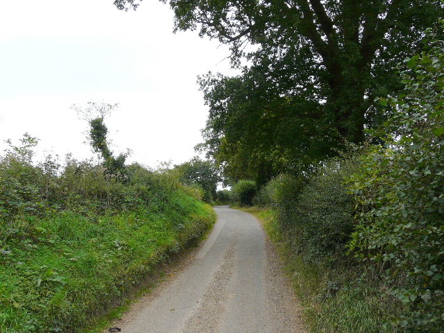
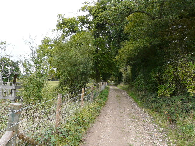
I set off from the car park at Mardley Heath about 9.55am, and it took maybe 5 minutes to cross the heath to where I picked up the route of the STOOP again. It was an almost overcast morning, with just a glimpse of blue along part of the horizon, but the clouds were only a fairly light grey and seemed thin and high, not really threatening rain. I turned left along the bridleway running just inside the northern edge of the heath, which here was a narrow belt of wood, mainly oak and silver birch with the occasional beech [1]. It made for a very pleasant start to the walk. A Jay called raucously nearby as I followed the well way-marked route through the trees.
The bridleway then went under the A1(M), though curiously I can't remember this bridge or underpass at all, and the STOOP continued along a track (Normans Lane). Some workmen were building an impressive brick entrance for one of the properties on my right, while initially there was still woods on my left (Ninning's Wood). When the woods ended, there were two large dogs behind the fence of the first property on the left, mastiffs I think - they were well trained, I thought, as they just barked once or twice as I went past, rather than bark continuously as most guard dogs do (which must annoy the owners and neighbours no end). The track joined another very minor road (Ninning's Lane) just before I reached Spinney Lane, where I turned right. Looking on the map, I think I was now in the rather scattered community of Rableyheath. There were large houses on my right and arable fields to the left.
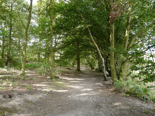
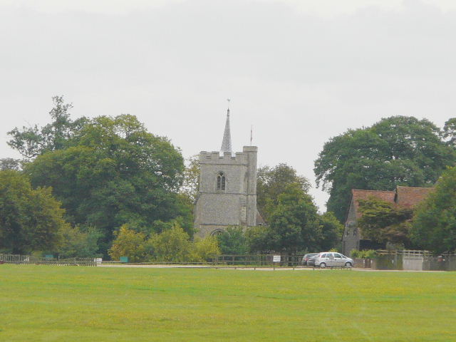
[1] Mardley Heath
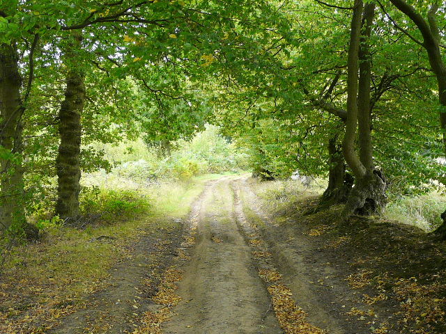
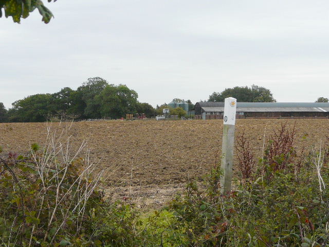
[2] Path at Rableyheath
[3] Path at Rableyheath
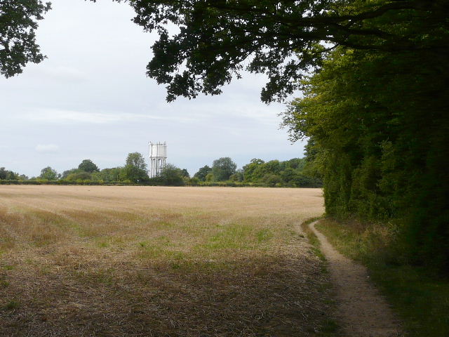
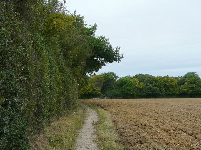
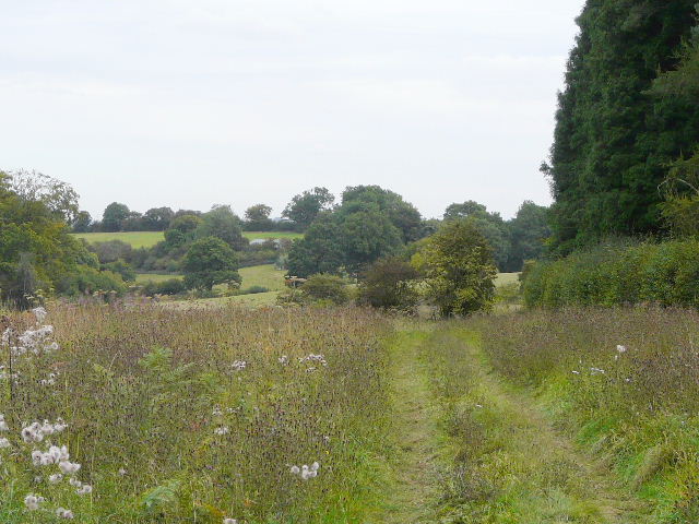
After a short distance, I took a footpath on the left as the road turned right. This ran alongside the right hedge of a stubble field [2], and was hard-surfaced - most unusual for a field path, I thought. Ahead and to my left was a large white water tower. When I reached a far field corner, the path forked. The STOOP takes the right fork, going through a broad hedge and then following it, the path again being surfaced [3]. I heard and saw two Buzzards over the wood ahead of me (I heard one nearby on the way back, too), and their were nice views to my right over the fields towards the motorway - the fields here were generally separated by headlands, with occasional mature trees indicating where there had once been hedgerows
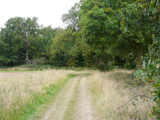
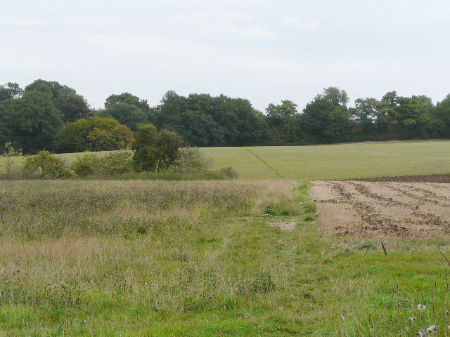
The path went through a short alley between houses to a lane where I turned right, passing a bit more of Rableyheath on my right with fields to the left. I then forked right on a path through a small wood, New Wood. On the far side, the path continued across a huge arable field - it must have been about half a mile long on each of its four sides [4]. Again a few mature trees showed where hedges had once been - I was very surprised to see a Muntjac Deer running between two of these trees in the middle of this huge field when I came back in the afternoon. The path was very clear, and after about 250 yards I crossed a similarly clear path (I saw one or two dog walkers making use of these paths). After another 200 yards or so another clear path went left, and I followed that path to a road entering Old Knebworth from the south.
[4] Path through huge field at Old Knebworth
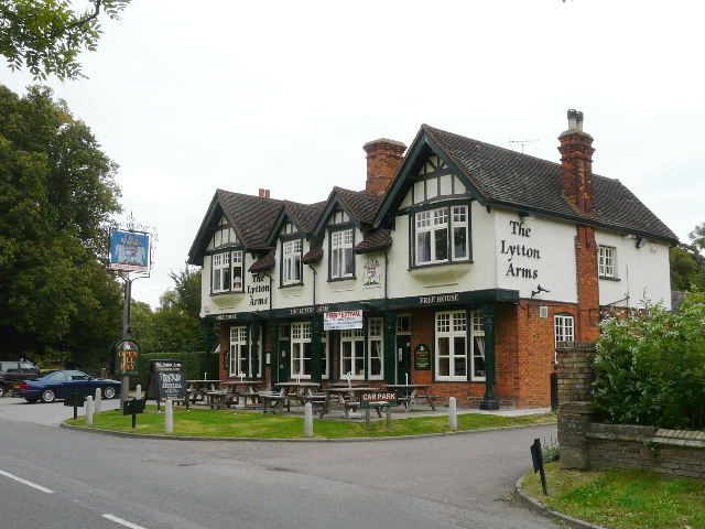
[5] The Lytton Arms, Old Knebworth
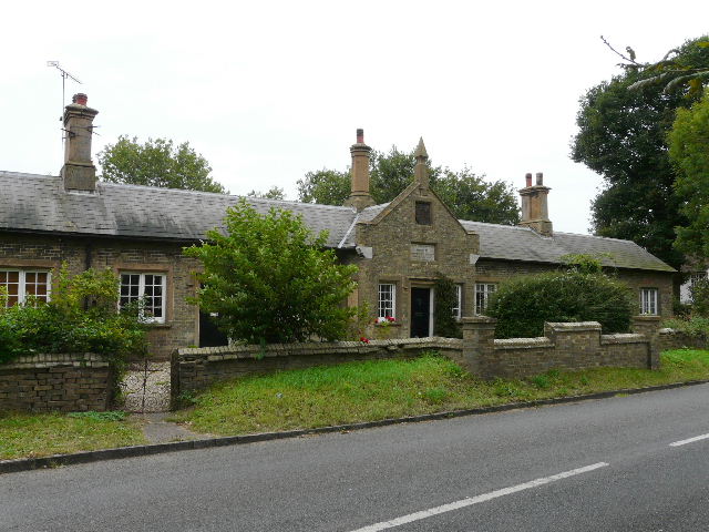
[6] Almshouses, Old Knebworth
I turned left, passing the Lytton Arms pub [5] (named after the family that own Knebworth House) and some almshouses (a stone inscription said they were erected by Mrs Elizabeth Barbara Bulwer Lytton in 1856) [6]. I was very surprised to have a very brief shower here, the rain drops being few and far between but quite heavy. A little further on I took a footpath on the right, beside a house that from its name was obviously a former lodge on the Knebworth estate. The path ran along the right edge of a paddock or pasture containing two horses, then went through two kissing-gates in quick succession to enter a large open expanse of grass, part of the park surrounding Knebworth House. Following the 'Route directions' for the STOOP, I headed for a distant tree on the horizon, eventually passing just left of a memorial or cenotaph [7]. I saw a herd of deer some way off to my right, and just got a glimpse of part of Knebworth House about half a mile away [8]. A fence line came into view ahead of me, and I now aimed at a tall metal gate to the left of the tree I'd been heading towards.
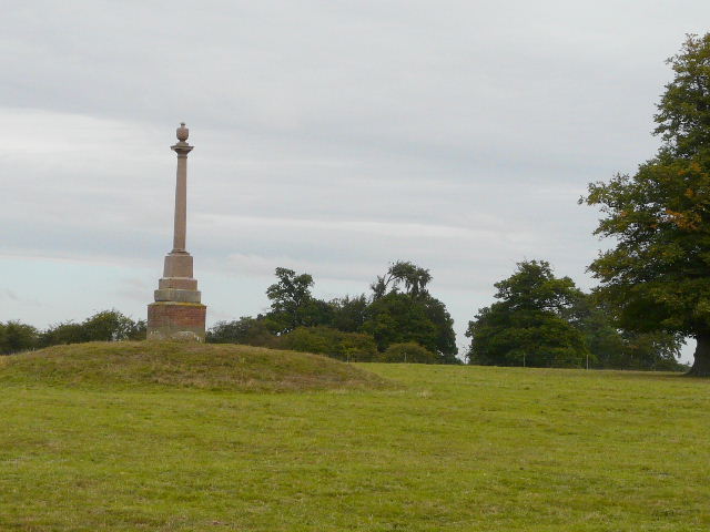
[7] Cenotaph, in the park around Knebworth House
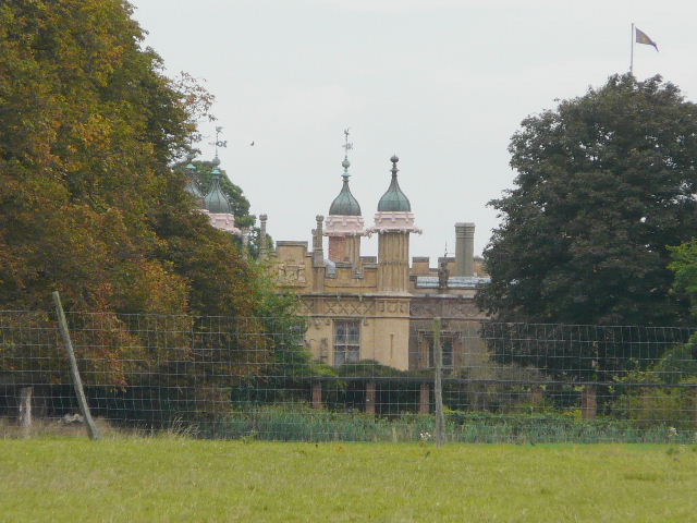
[8] Distant view of Knebworth House
[9] Distant view of Knebworth church
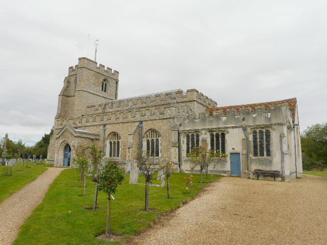
Beyond the gate, the path followed a fence slightly downhill through some more grassland - I was surprised to see some Tormentil growing here, it's usually a heathland or moor plant. Knebworth church was visible some way to my right [9]. Over to my left I saw a huge green model dinosaur, with a sign advertising 'Dinosaurs at Knebworth'. The path then crossed a drainage ditch to reach a road by a cottage. I crossed over, and continued on a very pleasant and well waymarked path through Graffidge Wood [10,11]. This sylvan interlude lasted for about half a mile.
[10] Path through Graffidge Wood
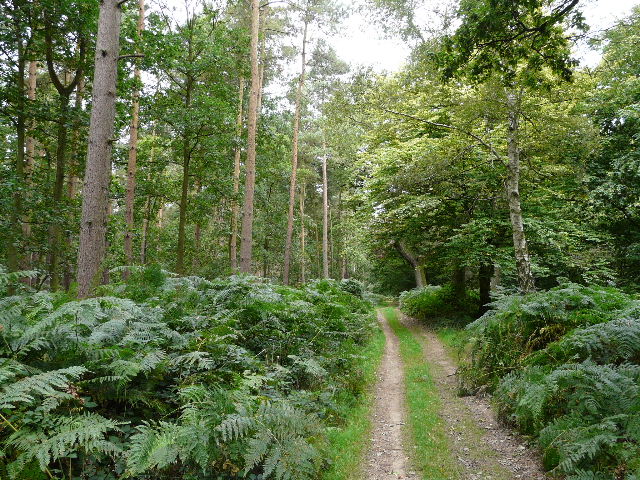
[11] Path through Graffidge Wood
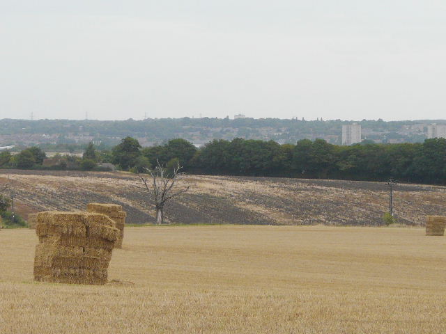
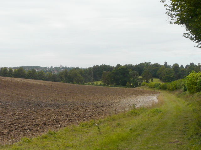
[12] View towards Stevenage, from the lane to Easthall Farm
On the far side of the wood I turned right along a lane. The 'Route Directions' say the lane walk is just over half a mile, but it seemed nearer a mile to me - checking the map, it's actually about three quarters of a mile. It was very quiet, I don't think any traffic passed me at all. There were just one or two cottages or farms along the way, and occasionally there were breaks in the hedge on my right and I could see over the fields towards Stevenage, tall buildings just appearing over tree tops [12]. At one point I looked through a field entrance on the left and saw a crop of Sunflowers. The lane [13] eventually turned sharp right and then left as it passed Easthall Farm. Immediately past a green barn, I took a path on the left, which crossed the end of the farmyard and then went across a ploughed field (as the 'Route directions' warned, the path had not been re-instated).
[13] The lane approaching Easthall Farm
[14] Looking back across the ploughed field to Easthall Farm
[15] The track to Reynolds Wood
On the far side [14], I turned down a track that almost immediately entered Reynolds Wood [15] - I was delighted to see a Red Kite over the edge of the wood, possibly the furthest east I've ever seen one on my walks. I thought the 'Route directions' could have been clearer here - they simply said to follow the track through the wood, but in fact I almost immediately came to a point where there were paths going half-left (with a 'Private' sign), straight on and half-right. The track I was on clearly continued half-right, but in fact the STOOP went straight on (the path here at first being a single line through the grass, not a track). There were in fact waymarks on a tree a few yards down the correct path, but I initially missed seeing them as they were obscured by the leaves of another tree. Anyway, the STOOP continued slightly downhill through the wood (a track soon emerging) and then continued gently downhill beside a long hedgerow on my right [16]. Looking ahead and slightly over the ploughed field on my left, I could see part of the large village of Whitwell which I recognised from its white water tower on the horizon, a familiar landmark from the Chiltern Way. As the path followed the hedgerow gently downhill, I saw about 20 Red-legged Partridges (presumably bred for shooting).
I crossed a B-road in the valley bottom, and took another path starting almost opposite. Again I thought the 'Route directions' could have been a little clearer - they said the path went uphill to a gate, in fact it went diagonally up the slope to pass through the top end of a row of trees on the left, with the gate just on the far side of the trees (so hidden from view almost until you reached it). I think I would have been confused, if I hadn't known where the gate was from previous experience. As I passed through the trees I met a few bullocks and cows grazing and saw many more in the part of the large pasture on the far side of the tree belt.
[16] The path beyond Reynolds Wood, Whitwell in the distance
[17] The track to St Paul's Walden church
[18] St Paul's Walden church
I went through the gate and turned right on a tarmac drive - I was now on part of both the northern extension of the Chiltern Way and the Hertfordshire Way, the STOOP now sharing their route for the next two and a half miles (that's how I knew where the gate was!). I exchange brief greetings with an elderly gentleman here, the last in a long line of walkers going south towards Whitwell (they would soon pass close to the grand house of St Paul's Walden Bury). Having been travelling roughly northwest so far, I was now heading northwards .I kept left at a fork, passing a couple of properties, and continued as the tarmac drive became a track [17] which soon led me to St Paul's Walden church [18]. I walked through the churchyard, passing to the right of the church, and went a few yards left along a lane. I then took a path on the right, which soon emerged into an arable field where it followed the right edge to reach a road.
The road was narrow with sharp bends in it, and I had to take care as I followed it past the entrance to Stagenhoe (now a Sue Ryder Home, but once the property of Sir Arthur Sullivan of operetta fame). I then took a path on the right, initially through a bit of woodland where I remembered seeing my first ever Wood Anemones about two and a half years ago. The path continued across an area of rough grass [19], with a nice view ahead that I remembered from my previous walks here, and then crossed a very large arable field [20] (part of which was currently being ploughed) to reach Langley Lane.
[19] The path to Langley Lane
[20] The path to Langley Lane
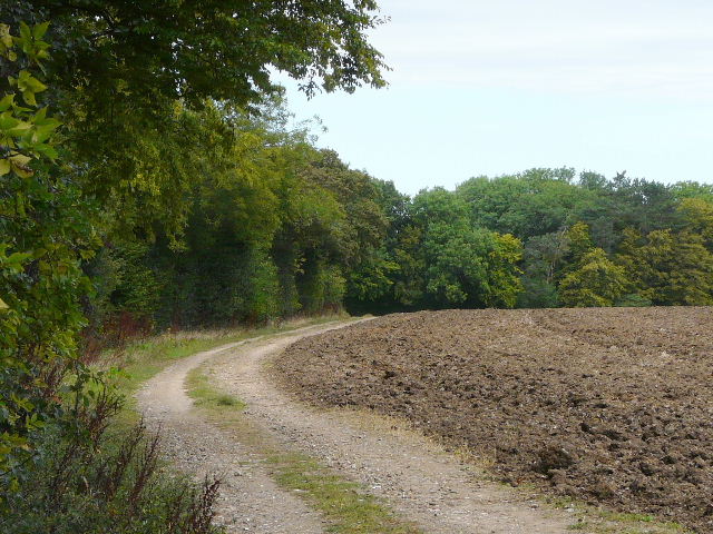
[21] Approaching Langley End
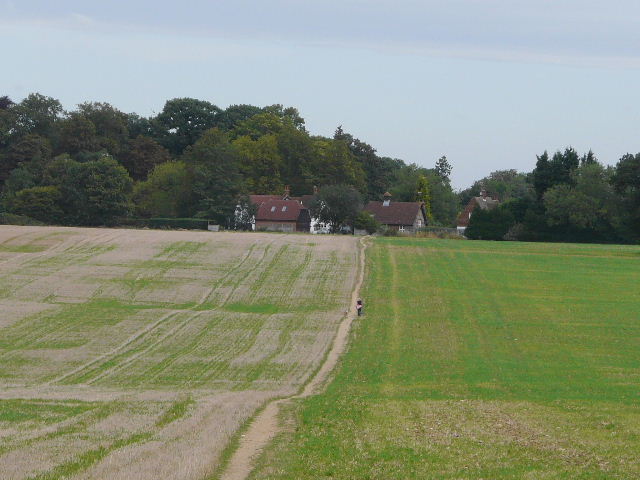
On the far side of the lane a path continued between bushes, then continued on a farm track along the left edge of a ploughed field [21], over which I could see the top of Stevenage's Lister Hospital in the distance (with the area where I started the STOOP beyond). Where the track bent right, the path continued across part of a garden to reach the tiny hamlet of Langley End. I continued down a short bridleway to reach a minor road, which was as far as I wanted to go today.
The walk back to Mardley Heath was pleasant but uneventful. I enjoy these return journeys, when I don't need to take photographs or worry about navigation. The grey skies started to clear, and it was soon much brighter and sunnier. I got back to Mardley Heath just after 3pm (and again went slightly wrong when trying to cross the heath to the car park, as I'd done at the end of the last walk!).
This was another good walk, with a nice mixture of woods and field paths, plus the large park around Knebworth House. I'm sure it would have seemed even better on a sunnier day.