Pete's Walks - Swan's Way
About Swan’s Way
Swan’s Way is slightly different to the other routes that I’ve walked, as it is a long-distance bridleway rather than a long-distance footpath. It runs for approximately 65 miles, from Salcey Forest (just north of Milton Keynes) south through Buckinghamshire and Oxfordshire to Goring-on-Thames.
Buckinghamshire County Council publishes a leaflet describing Swan’s Way, see their website for details (walks and rides in Buckinghamshire - this external link opens in a new window). The route is covered by the OS Explorer Maps 207, 192, 181 and 171 (the route is marked on my 207 and 171 maps – I think the other two have been updated recently and it may now be marked on those as well). Swan’s Way can be walked in either direction (it is waymarked both ways).
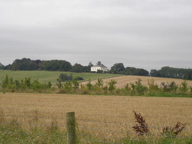
Whaddon Hall from the edge of Milton Keynes (Day 3)
Swan’s Way forms the Buckinghamshire section of the Midshires Way, which runs north from Bledlow in the south of the county all the way to Stockport, Greater Manchester (there are a few sections in Buckinghamshire where there are footpath alternatives to the bridleways and roads used by Swan’s Way). Swan’s Way also crosses the routes of the North Bucks Way, Cross Bucks Way, Milton Keynes Boundary Walk, Aylesbury Ring and Ridgeway long-distance paths.
Click here to see a very rough map of Swan's Way (but only if you have already read my disclaimer and notes regarding maps).
Note: I have numbered each photograph (in red) and inserted the same number in the text to show where in the walk the photo was taken.