Pete's Walks - Thame Valley Walk
About the Thame Valley Walk
The Thame Valley Walk is a 15-mile long linear route that, as you’ve probably guessed, follows part of the Thame Valley. It runs for roughly 15 miles, from Aylesbury to Albury (though as there is nowhere to park at its end in Albury, anyone doing this as a day walk would need to walk about another mile to Tiddington). It passes through the attractive villages of Nether Winchendon, Chearsley, Long Crendon and Shabbington.
This walk should not be confused with the Thames Valley Path, which follows a longer and much better known river! The Thame is a major tributary of the Thames, flowing for about 40 miles in a south-westwards direction from just northeast of Aylesbury to just south of Dorchester in Oxfordshire. Thame is pronounced 'tame', and the river (and this walk) passes the ancient market town of the same name.
The Thame Valley Walk crosses the routes of the Midshires Way, Swan's Way, North Bucks Way, Aylesbury Ring and the Bernwood Jubilee Way. At Albury it terminates at a junction with the Oxfordshire Way.
Buckinghamshire County Council have produced a leaflet for the walk (in PDF format), with a strip map and details of places of interest on the route. The description in the leaflet starts at Aylesbury, but the Thame Valley Walk can be walked in either direction (it is always sign-posted both ways). The walk is also shown on OS Explorer maps 181 and 180.
Click here to see a very rough map of the Thame Valley Walk (but only if you have already read my disclaimer and notes regarding maps).
Note: I have numbered each photograph (in red) and inserted the same number in the text to show where in the walk the photo was taken.
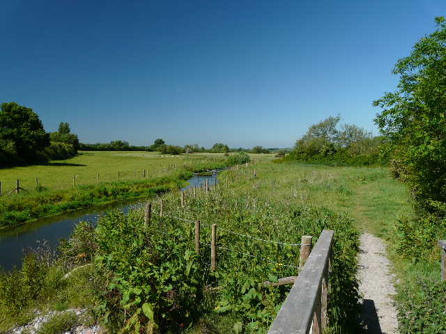
Thame Valley Walk near Eythrope (Day 1)