Pete's Walks - A Dales Walk
If you are considering walking this route yourself, please see my disclaimer. You may also like to see these notes about the maps and GPX files.
Day 2 12/06/06 Aysgarth Falls to Appersett (12 miles, approximately)
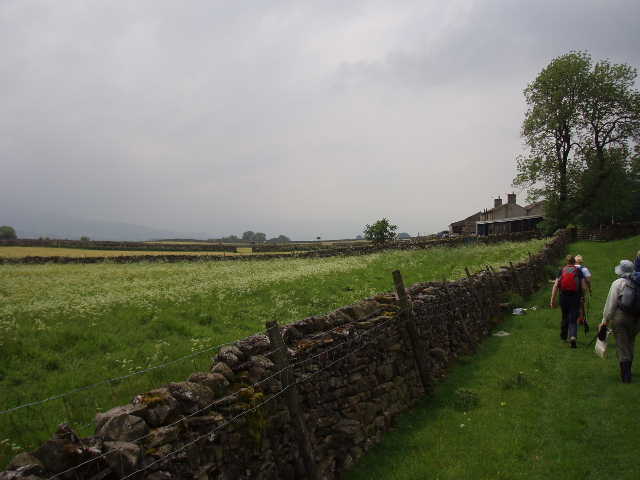
Our minibus found a quicker way round the closed road in Garside today and, as it was a shorter journey anyway, we managed to start walking before 10am this morning. Having spent most of yesterday on the southern side of Wensleydale, today we continued in our westerly direction but now on the northern side of the dale. From the car park at Aysgarth Falls, we climbed through some trees and almost immediately crossed the course of the Wensleydale Railway (much to the delight of Olwen, who is a railway enthusiast) which was closed by the infamous Dr Beeching According to the guide book, we should then have crossed some fenced fields. Curiously, the fences have been removed but the two stiles have been left in place, standing in splendid isolation in the middle of a huge grassy field grazed by sheep. To the amusement of the rest of our little group, I dutifully climbed over each stile as they took the easier option of walking straight past them. Beyond this field, we followed a path along the side of the wall, with a road on the other side of the wall which we soon joined. We then turned right off the road and took a series of short, well sign-posted, paths that led through a sequence of exceptionally narrow fields (dating back to the strip system of mediaeval farming) to reach the village of Carperby – the guide advises sticking to the road, but the paths we took were fine.
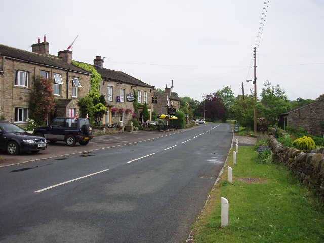
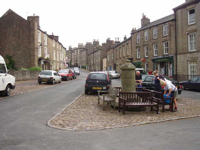
[1] Carperby
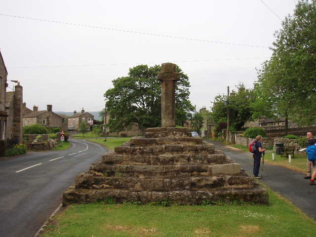
[2]Carperby
In Carperby [1] we paused to inspect the cross on the green [2], which was dated 1674. Carperby now seems to be a sleepy little village but once had an important Dales market, with its charter dating back to 1305. It also seemed an important religious centre, as we passed a Friend’s Meeting House and two or three chapels very close together. From the western end of the village, we took a path that led uphill through cattle pastures until we reached a broad track above the intake wall (the intake is the last wall before the open moorland or grazing land). We followed this track (‘Oxclose Road’ on the map) to the left, following it for some time along a broad terrace (‘You’d probably call it a patio down South!’, quipped James, who’s from Yorkshire) below a Limestone Scar. We paused for a rest near some old lead mine workings – several adits or mine entrances were visible in the fellside above us. There were several types of small flower present in the grass along this section of the walk, including Violas and Common Rock-Roses [3].
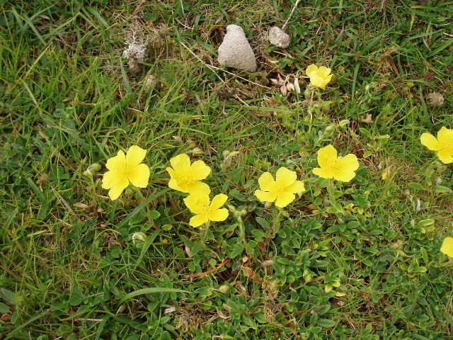
[3] Common Rock-Roses by path to Askrigg
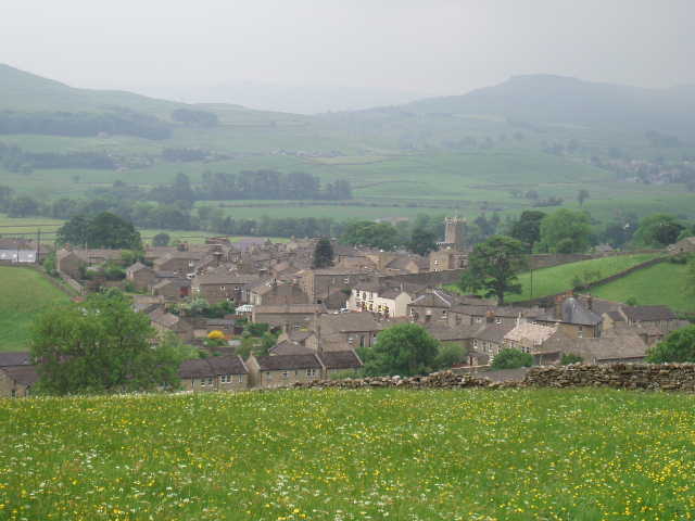
[4] View over Askrigg in Wensleydale
We continued onwards along the track for some way, eventually passing through two gates in quick succession before continuing on in the same westerly direction along another clear track, which eventually became a walled lane. We then took a path on the left, leading downhill across a field and then through a wood. After a couple more fields we passed through the hamlet of Newbiggin, and then a few more hay meadows (bright yellow with buttercups and other flowers) led us down to the village of Askrigg [4]. This too had a market cross [5], where we stopped and ate our lunch. The impressive church [6] was obviously being repaired, as there was scaffolding around the top of its tower. Apparently Askrigg was used as a setting for the TV series of ‘All Creatures Great and Small’.
[5] Askrigg
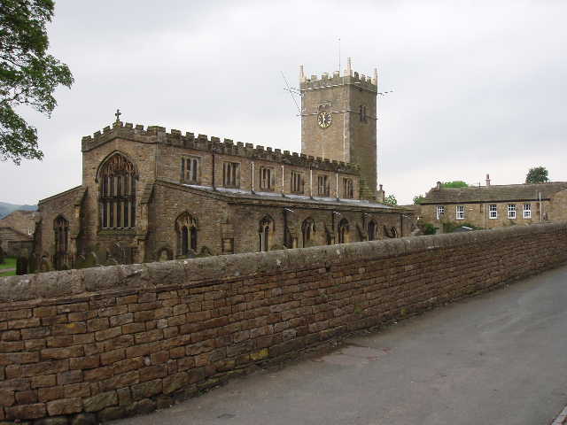
[6] Askrigg church
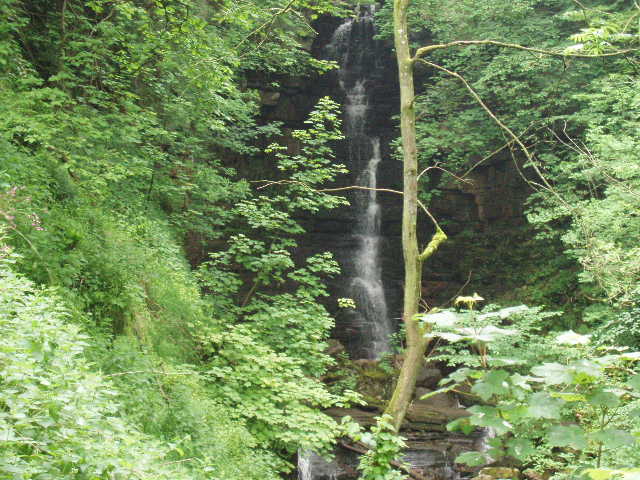
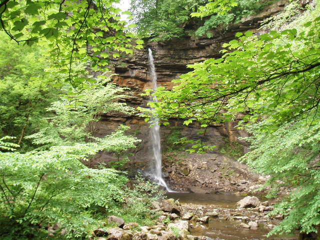
[7] Mill Gill waterfall
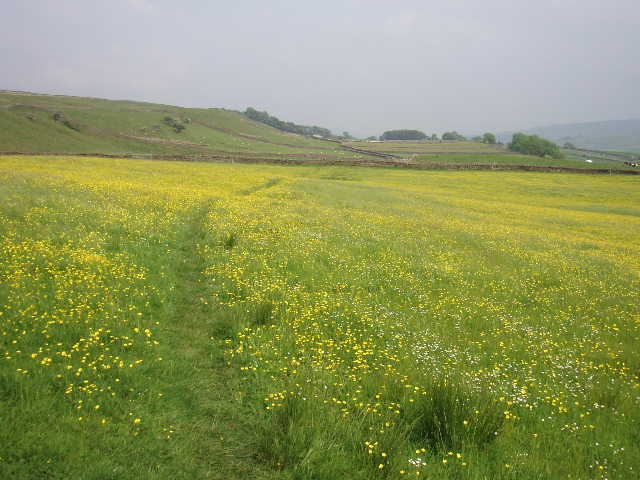
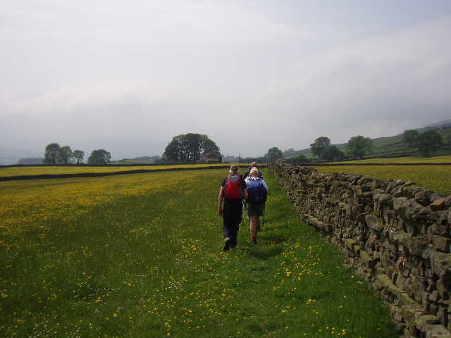
After lunch, we continued through Askrigg and took a path that lead past an old mill building. We continued onwards above the deep chasm of Mill Gill, taking a short detour to see Mill Gill waterfall [7]. We then continued on through more field paths, eventually coming out onto a walled lane [8] that led to the tiny hamlet of Skell Gill. Here we crossed a charming packhorse bridge. We continued on in the same westerly direction, at first along a walled lane and then through more pastures. The next section of the walk was delightful, passing through a long series of meadows that were vibrant with the colours of wild flowers – buttercups, daisies, clover and many that I was too ignorant to recognise. We met an elderly couple of holidaymakers coming the other way, who chatted with us a while – they warned us of a noisy pair of oystercatchers in the next meadow. We passed through the tiny settlements of Litherskew and Sedbusk [8,9,10], before we eventually dropped down across a grassy pasture to reach Hardraw.
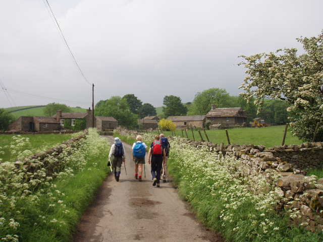
[8] The lane leading into the hamlet of Skell Gill
[9] The path near Sedbusk
[10] Looking back along the path near Sedbusk
We stopped to have a drink at the Green Dragon (I stuck to Orange Juice and Lemonade, because I didn’t want to risk getting a migraine). I was the only one who wanted to pay £2 to go and see Hardraw Force [12], which is on private land accessible only via the pub. Having been and seen it, I’m not at all sure it was worth the money, being no more spectacular than Mill Gill was, which I saw for free earlier. However, I should imagine it could be quite impressive if the stream was in full flood.
[11] The path near Sedbusk
[12] Hardraw Force
From Hardraw, we took a short cut by omitting the part of the route in and out of Hawes, and simply following a lane from Hardraw to Appersett. I wasn’t too happy about this, but at least we walked a continuous route (and as we usually did the higher level walks, we certainly walked a lot further than the shortest specified route between Leyburn and Richmond).
This was a much cooler day than yesterday, fortunately. Generally the skies were pretty grey, but the sun came out for a brief spell in the afternoon. A cool breeze was rather deceptive, as it was still warm enough for me to get some sunburn on my left shin.
Total Distance: 24.5 miles