Pete's Walks - Aylesbury Ring
About the Aylesbury Ring
The Aylesbury Ring is a 31-mile long circular route that, as you’ve probably guessed, circumnavigates Aylesbury. It passes through many villages in the Vale of Aylesbury including Waddesdon, Wendover and Aston Clinton, and its southernmost section runs along the foot of the Chiltern Hills near Combe Hill. The route is never more than five miles from Aylesbury.
Buckinghamshire County Council have produced a leaflet for the walk, with a strip map and details of places of interest on the route. An order form for this (and leaflets about numerous other walks in Buckinghamshire) can be found on their website - see my links page. Most of the historical or other factual data that I quote in my journal is taken from this leaflet. The route is also shown on the OS Explorer 181 map (my map was out-of-date in at least two places where the route has changed, although some local maps have just been republished so this may or may not be a problem now). Two sections of the Aylesbury Ring (totalling about 4-5 miles) follow the route of the North Bucks Way.
The Aylesbury Ring can be walked in either the clockwise or the anti-clockwise direction (it is always sign-posted both ways). The description in the leaflet starts at Waddesdon, but there is no official start or finish point and walkers may start at whichever point on the route they choose.
Click here to see a very rough map of the Aylesbury Ring (but only if you have already read my disclaimer and notes regarding maps).
Note: I have numbered each photograph (in red) and inserted the same number in the text to show where in the walk the photo was taken.
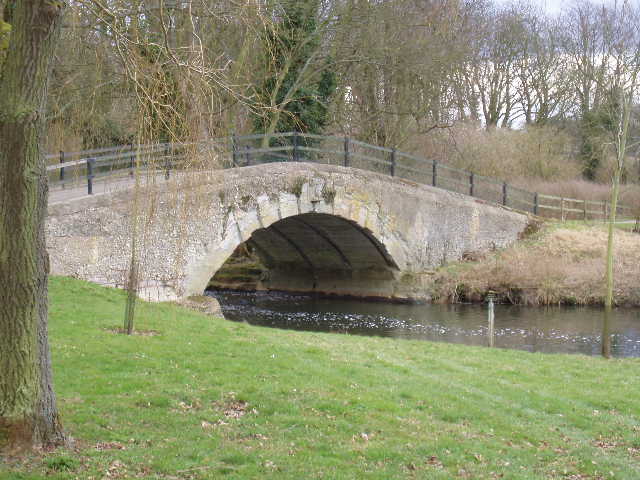
Bridge over the river Thame, near Eythrope (Day 2)