Pete's Walks - Berkshire-Essex Walk
If you are considering walking this route yourself, please see my disclaimer. You may also like to see these notes about the maps and GPX files.
Day 1 19/06/06 Streatley to Cart Gap (7 miles each way, approximately)
Parked in car park in Goring.
It took me about an hour and twenty minutes to drive to Goring, so I didn’t start walking until about 10:30. I decided to park in Goring as the map didn’t indicate any car parks in Streatley. I walked the short distance from Goring across the two bridges over the Thames and on to a road junction in the centre of Streatley (near The Bull public house) where I’d decided the ‘official’ start of the walk would be. Incidentally, this Streatley is pronounced Streetley, as opposed to the village in Bedfordshire of the same name (which I passed through on the Chiltern Way, and which I will come to later on this walk) which is pronounced Strettley.
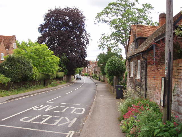
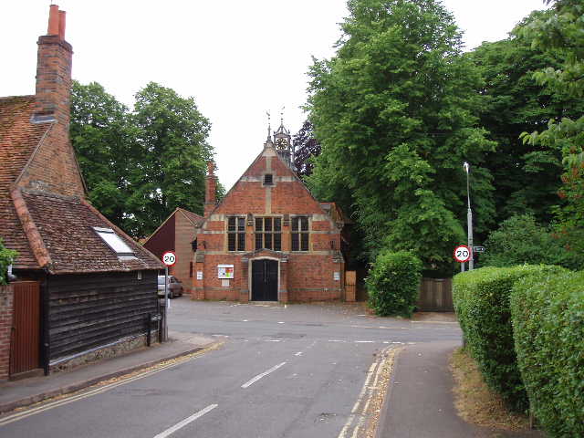
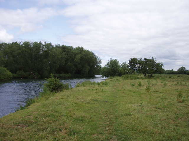
[1] Streatley
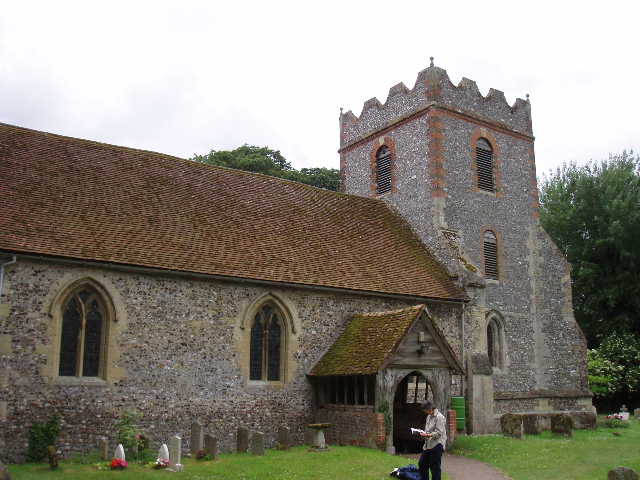
[2] Streatley church
Having taken a couple of photographs [1], I turned and walked back [2] over the two bridges [3,4] (there is an island in the middle of the river at this point, hence two bridges rather than one) into Goring – I remembered taking a slight diversion from the Chiltern Way last year to cross these bridges. As I crossed the river, I immediately moved from Berkshire into Oxfordshire – one county down, six to go! A couple of hundred yards along the road [5], a Ridgeway fingerpost directed me left down a residential street. Where this ended after about a quarter of a mile, the path continued down a narrow alley passing some fairly modern apartments to reach another minor road. I turned left here, still heading northwards parallel to the river Thames. After a short distance, the road turned right, but the Ridgeway continued on ahead, along a gravel drive and then a bridle way.
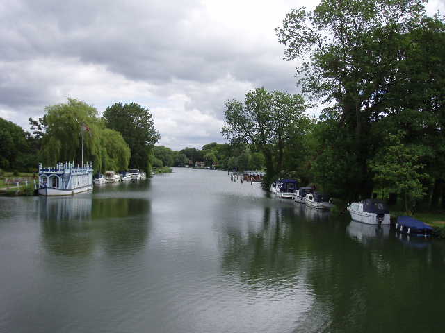
[3] River Thames from bridge between Streatley and Goring
[4] River Thames from bridge between Streatley and Goring
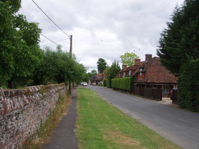
[5] Goring
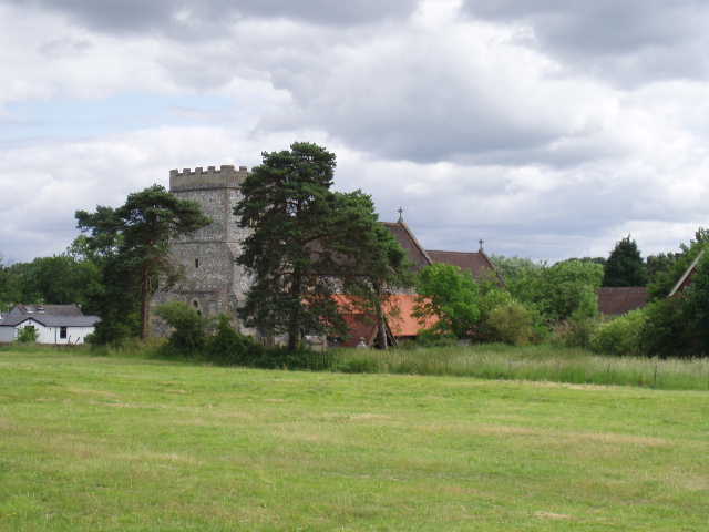
The bridle way came out on a minor road, which went to The Leathern Bottel, a riverside pub I could see below on my left. The Ridgeway crossed the road, and continued on in the same direction along another private drive. On my right there were several nice houses, with their gardens extending on my left down to the river. The drive continued on for some while, until the last house where it became a bridleway again. This led across a piece of rough ground to reach the village of South Stoke [6]. Here I followed the road through the village, still in a northerly direction, passing the church (15th century, but repaired as recently as the 1970’s) [7] and a pub (The Pike and Perch), until the road turned slightly leftwards and ended close to the river.
[6] South Stoke
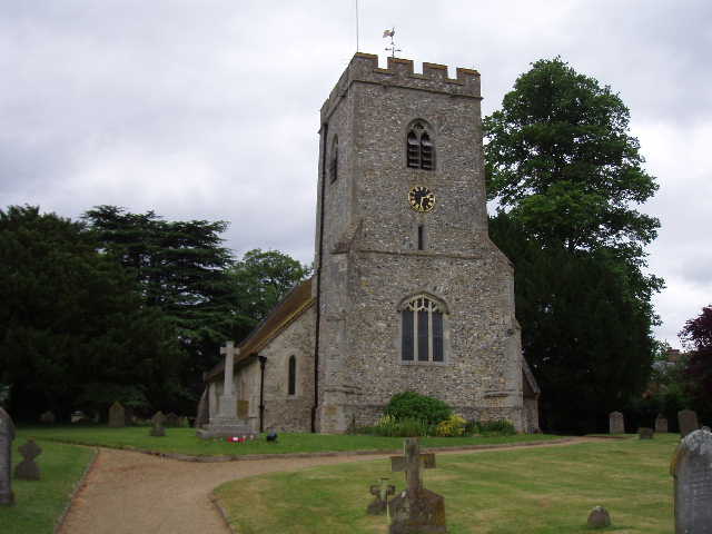
[7] South Stoke church
Here I took a riverside path [8], continuing northwards through a series of heavily overgrown pastures (the path was perfectly clear, but the fields contained very high vegetation) [9]. The first one had a small number of bullocks in it, a later one had a sizable mixed herd of cattle (cows, bullocks, calves). I passed a solitary fisherman in the first pasture (there were a couple more when I came back), and saw a small marina or boatyard on the opposite bank. The path went under a large brick railway bridge, built by Isembard Kingdom Brunel in 1839. It was very pleasant walking alongside the river, and this section reminded me of walks I’ve done along the river Stour in Suffolk.
[8] River Thames near South Stoke
[9] Path beside the Thames, between South Stoke and North Stoke
Eventually the cattle pastures gave way to arable fields, and the path moved away from the riverbank, although continuing northwards parallel to the river. I caught up with a lady walker as I followed the path through these fields and talked to her for a while as we followed the path besides the last couple of fields before the village of North Stoke. She was from Canada and was walking the Ridgeway, although as she was limited for time she wasn’t sure if she would complete the last section from Tring to Ivinghoe Beacon. The path entered North Stoke by going through the churchyard. We both stopped to look at our guide books to see what it said about the church [10]. It mentioned there were some faded wall paintings from the 14th century, so I went inside to have a look while she rested on the grass outside. The wall paintings were quite visible, not too badly faded at all, but were not as impressive as the ones I saw at Little Kimble on my Aylesbury Ring walk. There was also a notice giving the history of the church. It was built in the 13th century, but on the site of a 7th century Saxon church. Its tower collapsed in the 1600’s and was repaired at a cost of £100.
[10] North Stoke church
I left the Canadian lady there, although I encouraged her to have a look round inside the church as mediaeval wall paintings are quite rare. I explained that she would probably see me coming back later, as I would be turning round at Cart Gap (in fact when I met her on my way back, near the main road by Mongewell Park, she told me that when she went in the church the church warden had turned up and gave her a very interesting guided tour). I continued on through the village of North Stoke, and when the road ended continued on a clear bridleway. I passed a couple of horses in a pasture on my left, before the bridleway ran between hedges across a golf course. It then passed between a wood on my left and another rough pasture on the right. The pasture and subsequent fields were dotted with large trees, obviously the parkland of a large house. This was Mongewell Park, home of Carmel College, until recent years a Jewish Public School – they had created a wildlife reserve in the wood I’d just passed. The Ridgeway path followed a road through the buildings, and continued on a paved footpath. Immediately before this went under a subway below a main road, the Ridgeway turned right and resumed its general eastwards direction. The path ran between bushes parallel to the road, passing through a kissing gate at one point (where I met the Canadian lady on my way back), to emerge at another busy main road close to a roundabout – this was the road I’d used earlier to get to Goring.
Safely across the road, the Ridgeway continued heading east, but now followed the line of Grim’s Ditch [11], an ancient earthwork that runs for many miles. Its exact age is unknown, although it is known to pre-date the Saxons. Here, it was little more than a wide bush-covered headland between fields. I followed it for over half a mile, until it crossed a lane at Cart Gap [12], which was where I turned round and headed back to Streatley. Cart Gap is simply a name on the map where the path crosses a narrow lane, there are no buildings or anything else there at all (well, there was a bloke in a parked car and a patch of scorched earth where a car had obviously been burnt out by the local hooligans!).
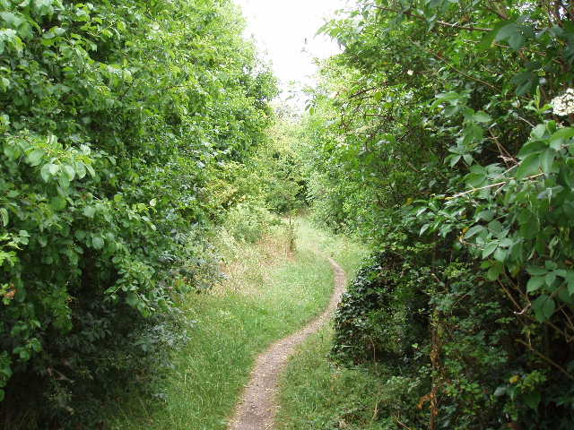
[11] Path along Grim's Ditch
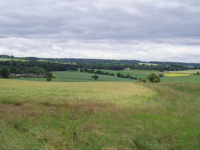
[12] View from Cart Gap
The walk back seemed to pass very quickly. I had my lunch rather late, on a bench by North Stoke church about 1.30pm. It was a very pleasant day for walking, warm enough for me to wear a T-shirt but never too hot. There was a lot of cloud about all day, although there were several sunny intervals in the morning. In the afternoon, the clouds grew greyer and more threatening – I was worried that it might start raining before I finished, but no rain materialised. I got back to Goring by about 3pm.
The River Thames was an obvious starting place for my walk along part of the Ridgeway and part of the Icknield Way. Unfortunately, it meant that I started with what is probably the flattest and therefore least interesting section of the entire route. It was almost completely flat the whole way, hardly surprising as for most of it I was following a river. Nevertheless it was a pleasant walk, and the wall paintings in North Stoke church were well worth seeing.
Total Distance: 7 miles each way