Pete's Walks - Cross Bucks Way
About the Cross Bucks Way
The Cross Bucks Way is a 24-mile long path across Buckinghamshire, from Stratton Audley in Oxfordshire to the boundary with Bedfordshire at Linslade. Buckinghamshire County Council have produced a leaflet for the walk, with a strip map and details of places of interest on the route. An order form for this (and leaflets about numerous other walks in Buckinghamshire) can be found on their website - see my links page. Most of the historical or other factual data that I quote in my journal is taken from this leaflet. The route is also shown on the OS Explorer 192 map (I would strongly advise use of the map, as although the strip map on the leaflet is detailed enough to show field boundaries it is not always clear enough to show which side of a boundary the path goes). The Cross Bucks Way is sign-posted in both directions (unlike my previous walk, the Hertfordshire Way, which was only sign-posted in one direction).
The Cross Bucks Way can be used as a link from the Oxfordshire Way to either the North Bucks Way or Swans Way, both of which it crosses. The end of the Cross Bucks Way at Linslade is close to the start of the Greensand Ridge Walk (which crosses Bedfordshire to Cambridgeshire), so these two routes can easily be walked together – in fact there is now an unofficial ‘An Oxbridge Walk’ that adds a bit to either end of these two walks to create a walk from Oxford to Cambridge.
Click here to see a very rough map of the Cross Bucks Way (but only if you have already read my disclaimer and notes regarding maps).
Note: I have numbered each photograph (in red) and inserted the same number in the text to show where in the walk the photo was taken.
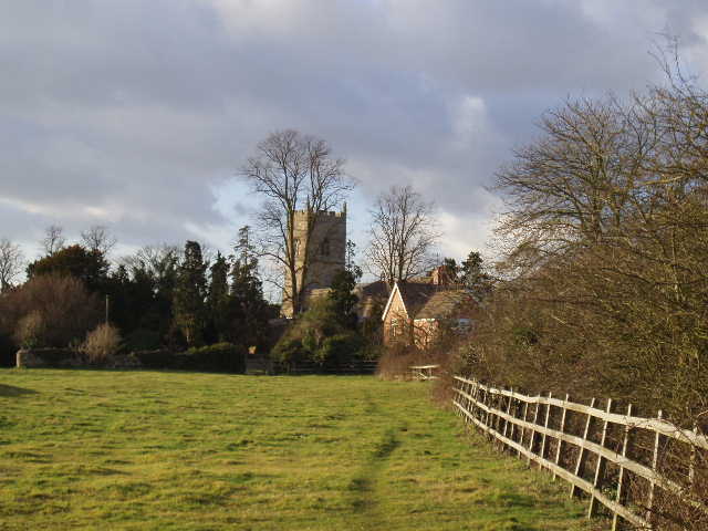
Looking back towards Stratton Audley (Day 1)