Pete's Walks - Pitstone Hill and Hastoe (page 1 of 4)
If you are considering walking this route yourself, please see my disclaimer. You may also like to see these notes about the maps and GPX files.
Google map of the walkDownload GPX file of the walk
I did this walk of about 13.3 miles on Saturday, 14th May, 2011. Click here to see a rough map of the walk (but only if you have already read my disclaimer and notes regarding maps). It was basically the Pitstone Hill and Wigginton walk that I have done many times before (Walk 4 of my Chiltern Chain Walk), with a small extension to take in the hamlet of Hastoe. I actually set out to do that walk, but was enjoying myself so much I decided to do the extension to Hastoe (which I'd done once before, but I don't think I recorded that walk on this web site).
I left the car park by Pitstone Hill (grid reference SP 954148) about 10.10am (it was a late start for a fairly local walk, as I'd put my moth trap out the night before and had had to photograph the resultant 'catch'). I followed the Ridgeway National Trail towards Steps Hill (I was doing the walk clockwise, which is possibly my preferred way of doing the Pitstone Hill and Wigginton route), but turned right at the foot of the hill onto a path that followed a fence on my right and then gradually went uphill and into trees (where I saw my first Sanicle of the year), climbing up to meet the main track from Ivinghoe Beacon to the Bridgewater Monument. I followed the track right for maybe a quarter of a mile, then immediately before reaching the kennels on Clipper Down I forked right. This path soon crossed a stile and continued easily downhill through a couple of large (and empty) pastures. Near the foot of the hill I noticed my first Clustered Bellflower and Sainfoin of the year.

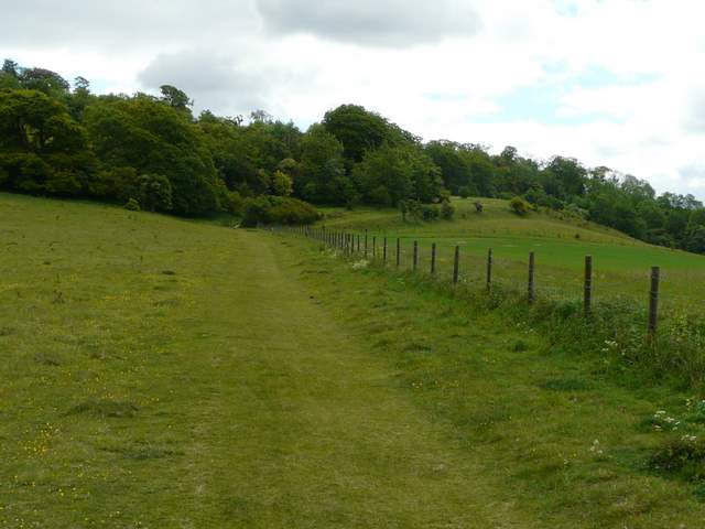
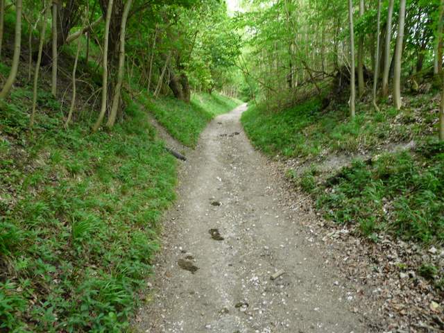
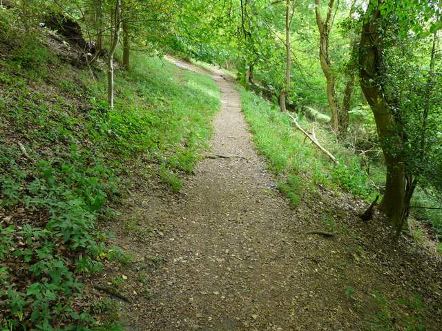
The Ridgeway National Trail, heading towards Steps Hill
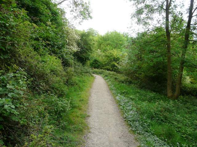
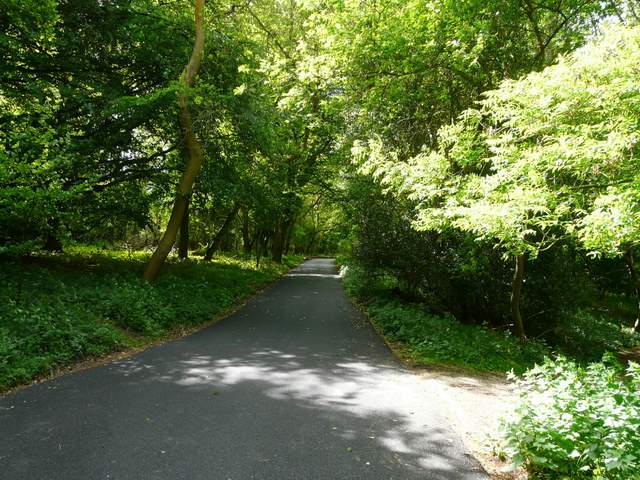
Having turned right off the Ridgeway at the foot of Steps Hill, this path heads gently uphill towards Ashridge
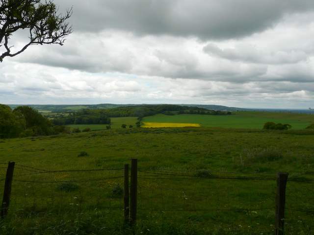
View towards Aldbury Nowers, from near the kennels on Clipper Down
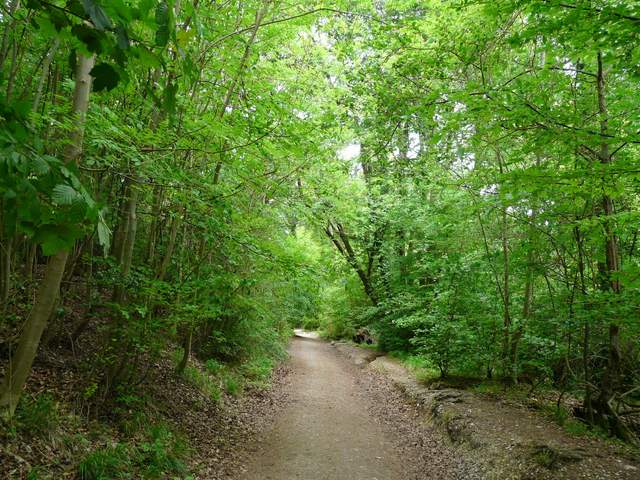
The path descending Clipper Down, looking ahead towards Aldbury
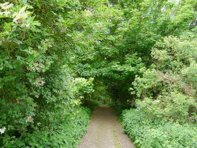
Near the foot of the slope the path curved left to reach a gate, beyond which a short track brought me to the drive leading to Duncombe Farm. I followed it left for a hundred yards or so, then took a footpath going half-right across an arable field. Across a similar but smaller field I reached a bridleway, where I turned left, soon heading back uphill into the woods of Ashridge. Towards the top of the slope I reached a junction where a path continued ahead towards the Bridgewater Monument, but I stayed on the bridleway, which went slightly right to contour round the wooded slope just below the Monument. I passed a cottage on my right, followed its drive a few yards before re-entering the woods, then after a few hundred yards I reached the main path from the Monument down to Aldbury. I turned right, then forked right after a hundred yards or so, and followed the bridleway downhill all the way to Aldbury. I then turned right along a road for a few yards to reach the pond in the centre of the picturesque village.
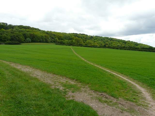
The path near Duncombe Farm
The bridleway heading up the slope into Ashridge
The bridleway contouring the slope just below the Bridgewater Monument
The bridleway from the Monument down to Aldbury
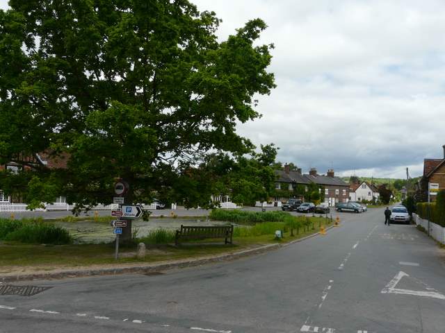
Aldbury
I turned left, and after a couple of hundred yards or so went left on a path that took me through the village allotments. Through a gate at the far end a path went right to reach a small village street. I went a few yards left, then when the street turned left a path went uphill half-right, passing a bench on my left and then heading back into the trees and up towards the hamlet of Tom's Hill. It emerged at a hairpin bend, where a short lane going right soon led me to the hamlet. I continued straight on at the end of the lane, a clear path heading on back into the woods and back downhill. At the foot of the hill a tall 'deer gate' led out into a pasture, with a pleasant view ahead over the valley called the Tring Gap towards the distant footbridge carrying the Ridgeway over the A41 dual carriageway (which I'd cross on my way back).
The path from Aldbury up to Tom's Hill
The start of the short lane into Tom's Hill
The path downhill from Tom's Hill
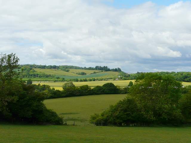
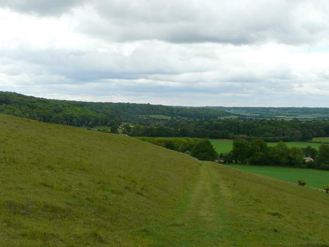
View towards Wigginton from the foot of the hill - you can just make out the footbridge spanning the A41 that I would cross on my way back