Pete's Walks - Ibstone, Skirmett and Wheeler End (page 1 of 5)
If you are considering walking this route yourself, please see my disclaimer. You may also like to see these notes about the maps and GPX files.
Google map of the walkDownload GPX file of the walk
I did this roughly 13.4 mile circular walk on Saturday, 3rd December 2011. This was a new route for me, which as usual I devised by simply looking on the OS map and finding a few sections of paths that I'd not walked before, then linking them into a circular route with paths that I already knew. Probably about 40% of the route was on paths that I'd not walked before, and maybe another 5% on paths I'd only walked once before, with the rest on more familiar paths. I had actually intended to follow a slightly longer route, going on from Wheeler End to Horsley Green, but I didn't feel quite 100% as I was walking and realised that that would have taken too long anyway, so I took a more direct route back to Ibstone from Wheeler End (which still included some new paths, in any case). I think I made the right decision as the walk still took me over five hours, a little slow perhaps for 13.4 miles but this was probably due to me taking more photographs than usual (I always take more photos along sections of path that are new to me).
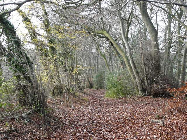
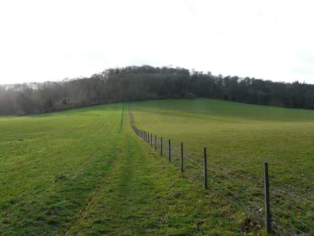
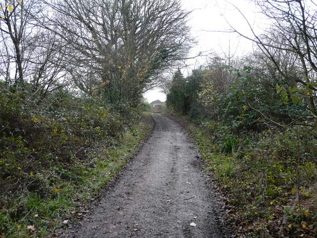
I parked on the main road through Ibstone, in the most northerly part of the village close to where the Chiltern Way crosses the road (the only two previous occasions I've started a walk from Ibstone were two times when I was walking a section of that route). I started walking at about 10.10am, and followed the Chiltern Way into the wooded northern end of Ibstone Common. The path headed south through the trees, soon passing a couple of ponds - the path was very muddy after rain last night, a rather discouraging start to the walk (but in the end most paths weren't too bad). As the wooded section of the common ended, the Chiltern Way turned right to head down into the Wormsley valley, but I continued ahead, following a bridleway along the western edge of the common. After a while I forked half-left from the bridleway to keep left of some trees, but then continued along the edge of the common to reach a lane. I turned right, soon passing Hellcorner Farm as I made my way past some large residences to reach the end of the lane.
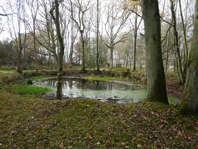
Pond in the wooded section of Ibstone Common
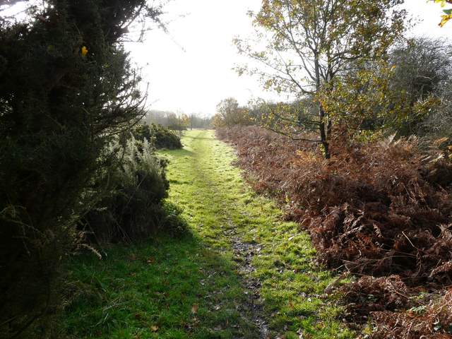
The path along the western edge of Ibstone Common
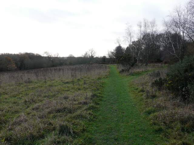
Path along the edge of Ibstone Common
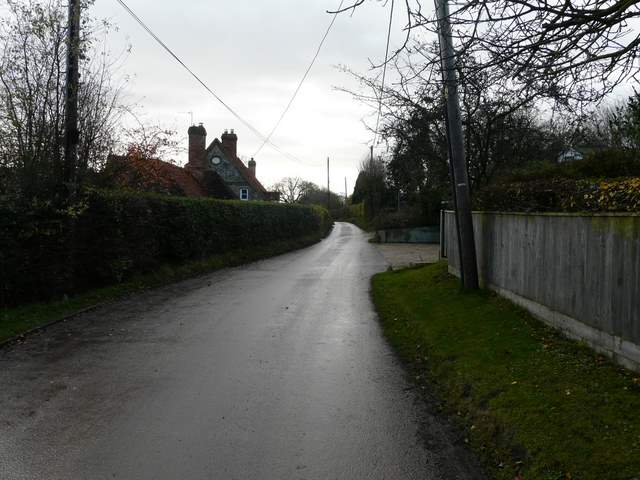
The lane past Hellcorner Farm, Ibstone
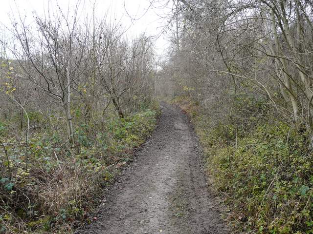
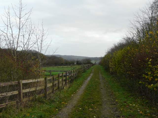
A pleasant bridleway continued southwards, gently descending as it ran through a narrow belt of trees. When the bridleway turned left, I took a footpath straight on, descending through a small area of scrub then crossing an arable field to reach one of the drives through the Wormsley estate. I turned left and followed the drive to a lane, this being the first (very short) section of the walk that was new to me. I'd already seen two or three Red Kites, and one now circled low overhead as I strolled down this drive.
The bridleway that is the southern continuation of the lane
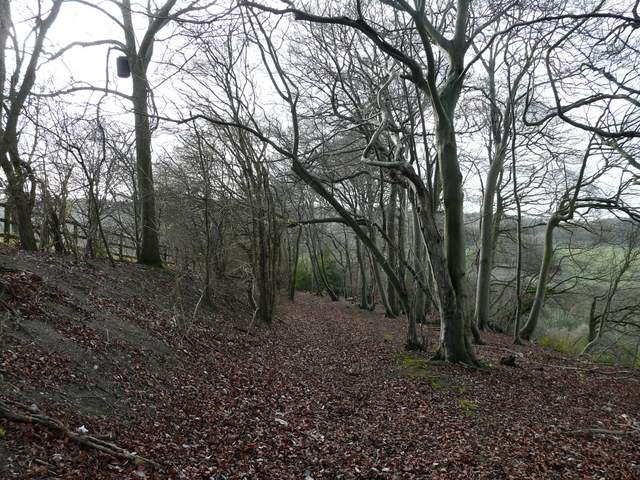
The bridleway that is the southern continuation of the lane
The footpath down into the Wormsley valley
The drive through the Wormsley valley
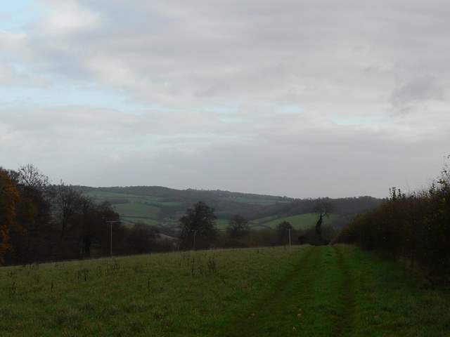
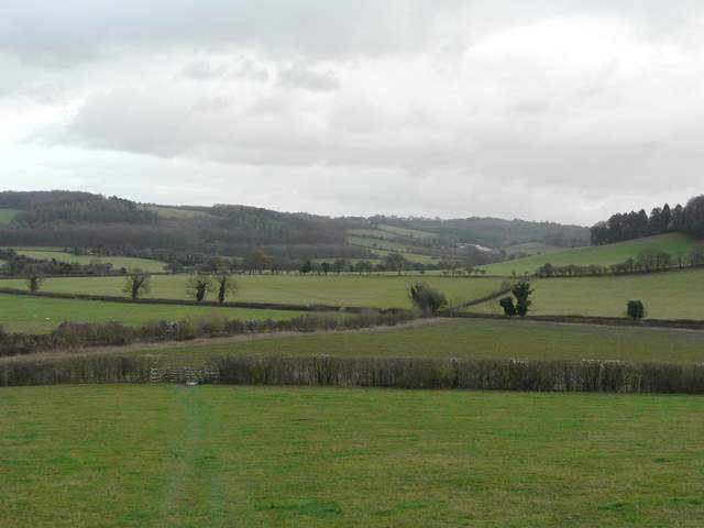
At the end of the drive I crossed Holloway Lane, following a fence uphill through an empty pasture to reach Idlecombe Wood. I soon came to a path junction, where I turned left on to an excellent path that contours along this side of the valley, with occasional views along the valley towards Turville and Cobstone Mill. I stayed on the path as it eventually curved right, now going slightly uphill and moving from Idlecombe Wood to Churchfield Wood.
The footpath from Holloway Lane to Idlecombe Wood
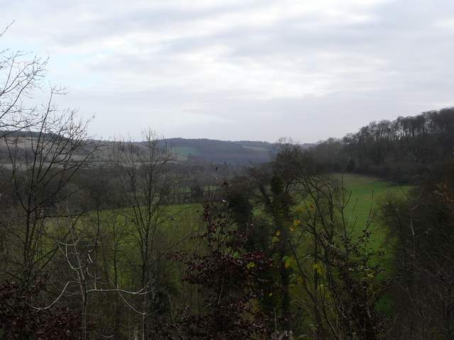
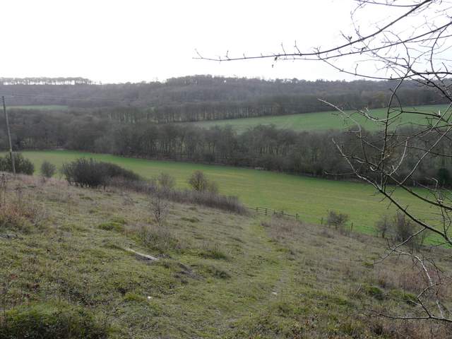
View east towards Turville, from the start of the contouring path through Idlecombe Wood (the distant wood in the centre of the photo is Fingest Wood)
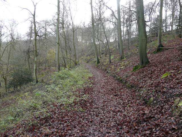
The contouring path through Idlecombe Wood
The contouring path through Idlecombe Wood
The next section of the walk I'd only done once before (when I did a Watlington Hill, Southend and Maidensgrove walk in June this year). I now joined a bridleway, and stayed on it as it left the woods and went the short distance to Turville Court. From here, another bridleway went eastwards, initially beside a garden hedge of the large house, then through a long empty pasture with an increasingly fine view ahead towards the Hambleden Valley. The path then skirted another bit of Churchfield Wood on the left, before going quite steeply downhill, now with an even better view of the Hambleden Valley ahead (it was fairly grey now, so the views were obviously not at their best).
The short track between Churchfield Wood and Turville Court
Start of the bridleway going east from Turville Court
The bridleway going east from Turville Court, looking towards the Hambleden valley
Approaching the junction with Chiltern Way south of Turville, looking ahead towards the Hambleden Valley (I've just realised that the photo on the cover of the current edition of the OS Explorer map 171 was taken from roughly this spot, looking slightly further left on a sunny summer's day)