Pete's Walks - Ibstone, Skirmett and Wheeler End (page 2 of 5)
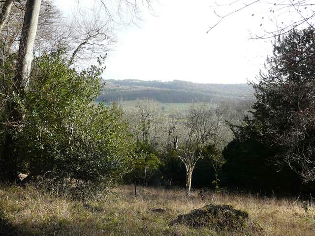
At the bottom of the slope I went through a gate and turned right onto another bridleway. I was briefly on the route of the Chiltern Way again, but after only a few yards I forked half-left onto a path that crossed an arable field to reach Dolesden Lane. Across the lane, a path (a new one for me) continued through a small section of Poynatts Wood. On exiting the trees I took the rightmost of two paths, crossing a large meadow to re-enter the main part of Poynatts Wood. Looking back from this point there was a decent view towards Turville and Cobstone Mill. A short distance into the wood the path joined a clear track climbing steadily uphill through the wood.
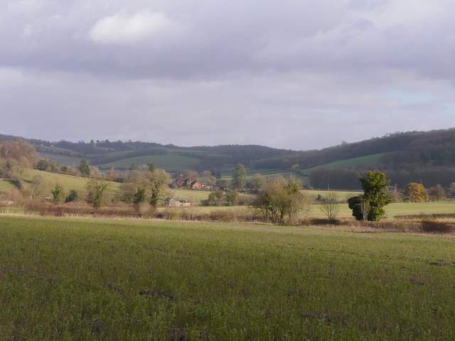
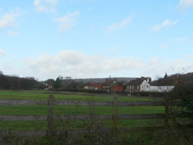
From the path to Dolesden Lane, looking northeast towards Fingest
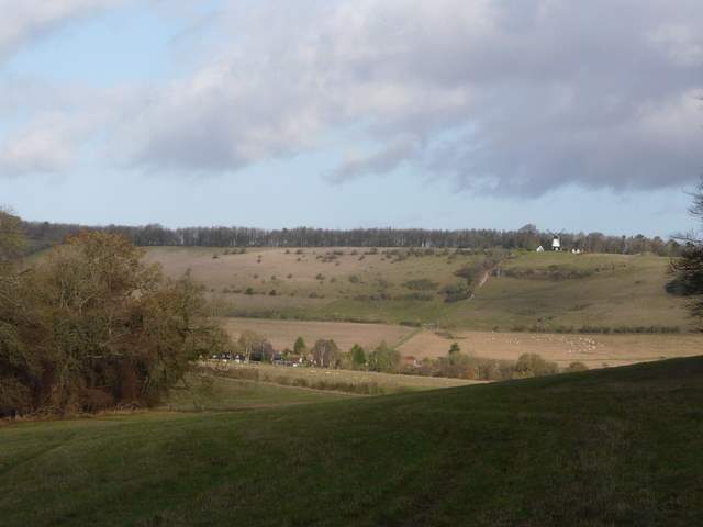
Close-up shot looking back from the edge of Poynatts Wood, with Cobstone Mill above Turville
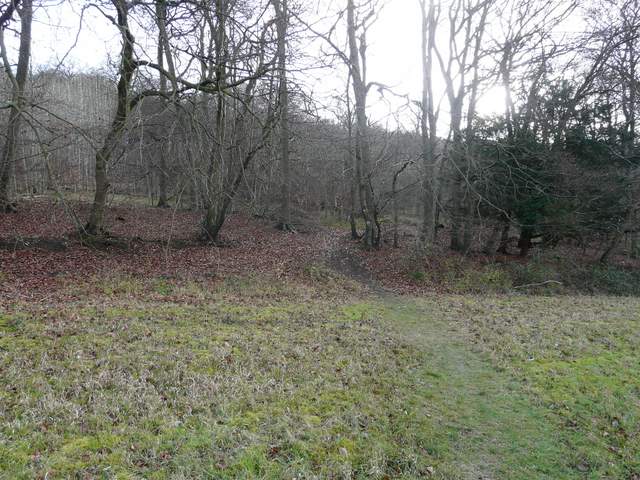
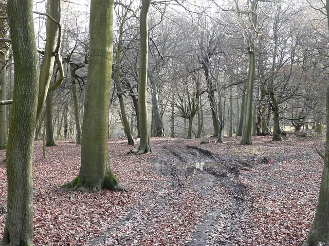
The path entering Poynatts Wood (for the second time)
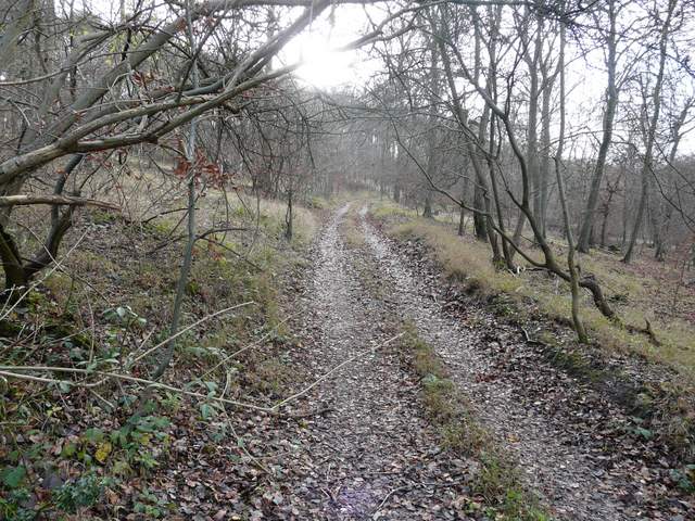
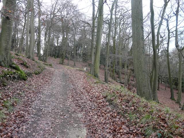
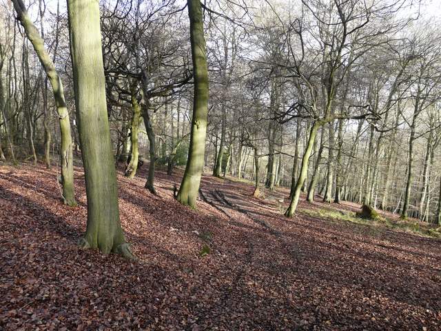
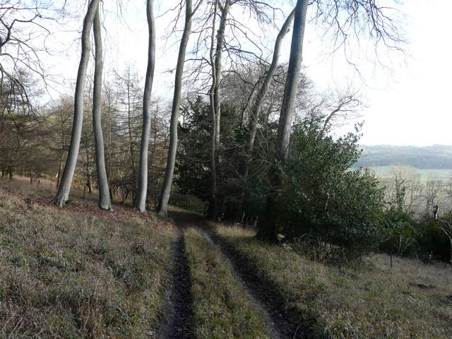
The path rising up through Poynatts Wood
The path rising up through Poynatts Wood
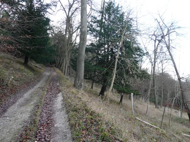
The path rising up through Poynatts Wood (or possibly now Great Wood, the map isn't clear), near the top of the hill
At the top of the hill the path curved round through the trees, changing its direction almost 180 degrees from just west of south to northeast. I may have been in Great Wood at this point, the OS map doesn't show the boundaries of the adjoining woods here. After a while, the now descending path turned east and then southeast - I was now either in Great Wood, or Combe Wood (which is named north of the path on the map). The path then steepened, as it dropped down through the middle of a narrow belt of bushes to emerge at Skirmett in the Hambleden Valley. This had seemed a very long stretch of descent (by the standards of the Chilterns), much longer than the uphill section (checking on the map the ascent from Dolesden Lane to the top of the woods went up about 200ft, the descent to Skirmett dropped about 330ft).
The path near the start of the long descent
The path descending (Great Wood or Combe Wood)
Looking out across the Hambleden Valley
The path descending through Great Wood or Coombe Wood
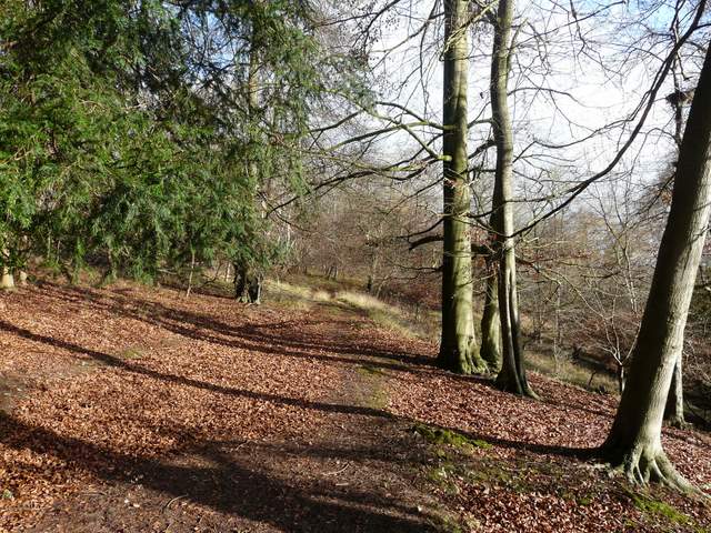
The path descending through Great Wood or Coombe Wood
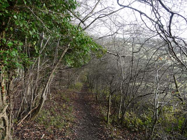
The path approaching Skirmett
I turned left along the minor road through the village, soon following the road as it turned sharply right. It soon turned left again, but I went straight on along a lane heading eastwards. For a short distance I was on the Chiltern Way once more but that soon turned left, heading for Adam's Wood and Fingest. A few yards further on, I turned right onto a bridleway (one that I had walked just once before, in January this year on a West Wycombe, Fingest, Moor Common walk).
Skirmett
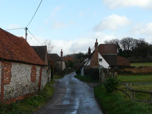
Lane through Skirmett
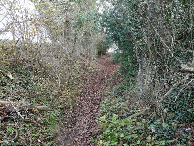
Start of the bridleway going southeast from Skirmett (to St Katherine's Convent, Parmoor)