Pete's Walks - Four Hills walk (page 1 of 6)
If you are considering walking this route yourself, please see my disclaimer. You may also like to see these notes about the maps and GPX files.
I did this roughly 13.8 mile circular walk on Saturday, 8th September 2012. The route was basically my 'Four hills walk', but lengthened slightly by including Bacombe and Bacombe Hill near the end of the route. It was actually the reverse of a walk I did last April, though I varied the route very slightly near Parslow's Hillock as I wanted to look for Violet Helleborines (I've not marked this alternative on my Google map as I wouldn't recommend it, it includes a half-mile road walk and is not as interesting as the usual route).
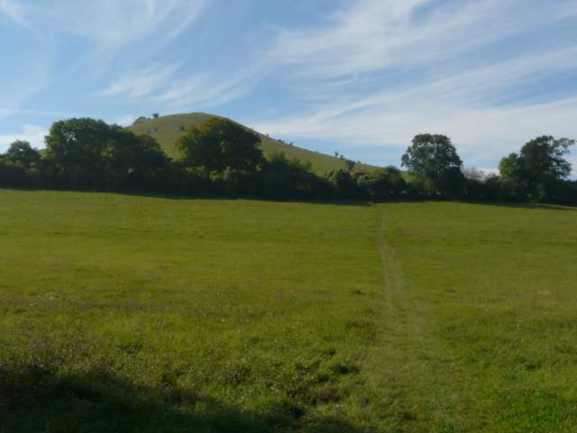
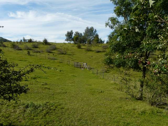
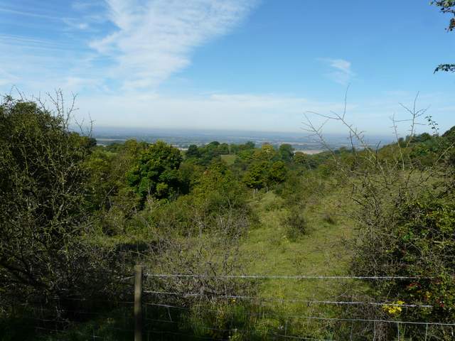
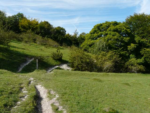
I started walking from the Coombe Hill car park about 9.20am, going through the gate by the lane and taking the left-most path close to a hedgerow. I crossed the route of the Ridgeway national trail by a metal kissing-gate, continuing straight on as the path now started to drop very steeply downhill. There were views to the Vale of Aylesbury here, before the very steep path passed through a wooded area. At the bottom of the slope I crossed a bridleway and went through a gate, soon joining a driveway that led to a road in the hamlet of Coombe. I crossed to the pavement on the far side, and turned right along the road. After about 100 yards, a footpath went half-left across a very large cornfield. Beacon Hill was now ahead and to my left, visible over a belt of trees. In the very far corner of the field, the path turned right on a track that soon emerged on a road opposite Ellesborough church.
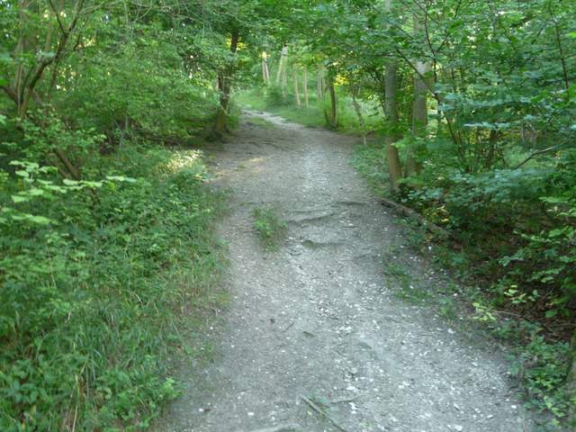
The path from the Coombe Hill car park
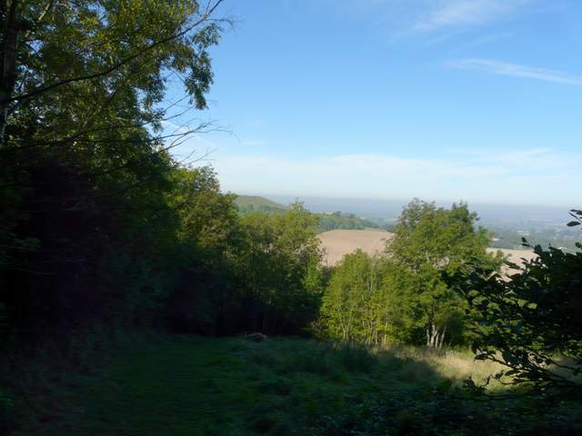
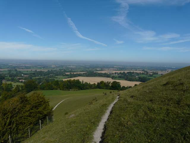
The path starting to drop steeply down the western side of Coombe Hill (Beacon Hill is just visible ahead)
Looking back up the path down Coombe Hill (yet again my camera makes it look far less steep than it is, it is one of the steepest paths I know in the Chilterns!)
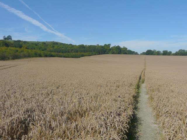
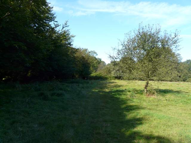
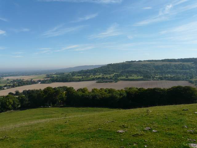
The path across the corn field, heading for Ellesborough (Beacon Hill is above the trees on the left)
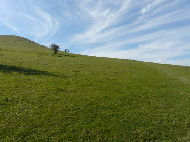
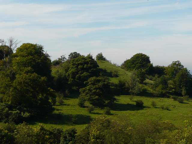
I turned left for just a few yards along the road, then turned left on a path that crossed a large meadow, with the sharp north end of Beacon Hill in front of me. Beyond the meadow, the path entered a huge open area of grassland and continued gently uphill, aiming to pass round the western side of Beacon Hill. As I reached the highest point of the path, more or less level with the northern top of the hill, I turned left onto a faint path that led very steeply upwards. As I plodded slowly up to the top, I spotted several wildflowers including Clustered Bellflowers and Autumn Gentians. From the top of Beacon Hill, I admired the far-reaching views over the Vale of Aylesbury and back to Coombe Hill.
The start of the path from Ellesborough to Beacon Hill
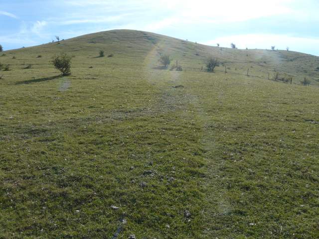
The footpath heading around the southern side of Beacon Hill
The feint path up the southern side of Beacon Hill (for once my camera nearly shows how steep it is)
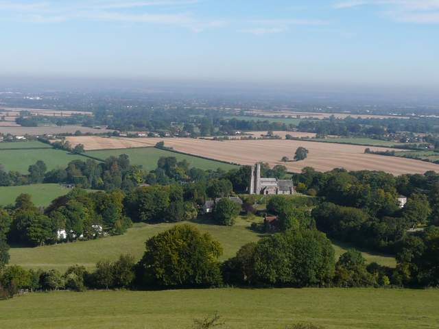
Ellesborough church and the Vale of Aylesbury from Beacon Hill
Coombe Hill from Beacon Hill (Wendover Woods in the distance)
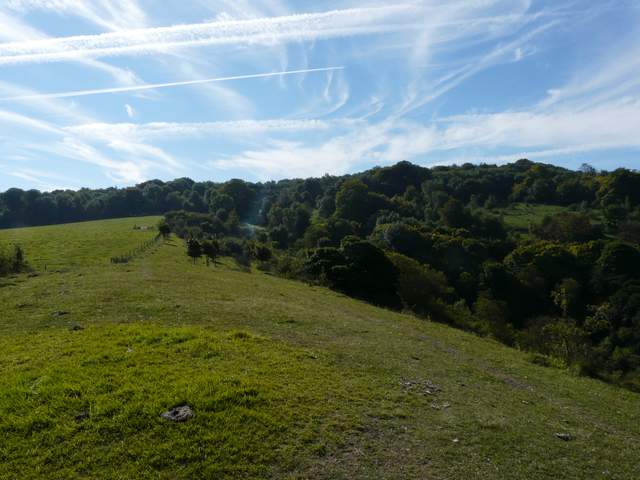
I walked along the level top of Beacon Hill to a clump of trees (a security camera and a fence reminded me that the southern part of the hill lies within the Chequers estate) and then dropped down slightly to a path on my right that ran back along the side of the hill. When it met the steep path I'd taken to the top, I retraced my footsteps back down to the footpath, where I turned left. The path soon entered a wooded area at the head of a valley, marked Ellesborough Warren on the OS map. Next I crossed a large meadow, again with views of the Vale of Aylesbury on my right, before passing through a small wooded area and crossing a private drive to a gate. Here I entered a large, irregularly shaped pasture, where the paths forked. I took the right fork, passing under a few trees and then crossing a small part of the pasture to a gate or stile in a fence. A path followed the fence leftwards, but I went on ahead up a scrub-covered bank to the top of a small 'ridge' (it's not really, I can't think of a better way of putting it). I could see the small hillock of Chequers Knap across the valley of Great Kimble Warren in front of me.
The path along the southern side of Beacon Hill - this rejoins the steep path up to the top of the hill, where I turned left to rejoin the footpath
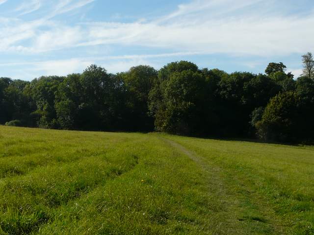
The footpath from Ellesborough continuing through Ellesborough Warren
The path continuing through the meadow after Ellesborough Warren
Approaching the little 'ridge' on the northern edge of Great Kimble Warren
Chequers Knap, from the 'ridge'
My route would now form an inverted-U around the head of the valley to reach Chequers Knap. I turned left, soon going over to join the fence on my left, and followed it to a stile in the corner. I turned right, now briefly joining the Ridgeway, as it continued through an area of scrub and grassland (there are occasionally cattle here, so I sometimes describe it as a pasture) around the head of the valley. After a few hundred yards I left the Ridgeway, following a short path up the small hillock of Chequers Knap in front of me.
Looking east along the 'ridge', with the valley of Great Kimble Warren on the right
The head of the valley containing Great Kimble Warren (the 'ridge' is on the right, Chequers Knap out of shot to the left)
The Ridgeway path, approaching Chequers Knap
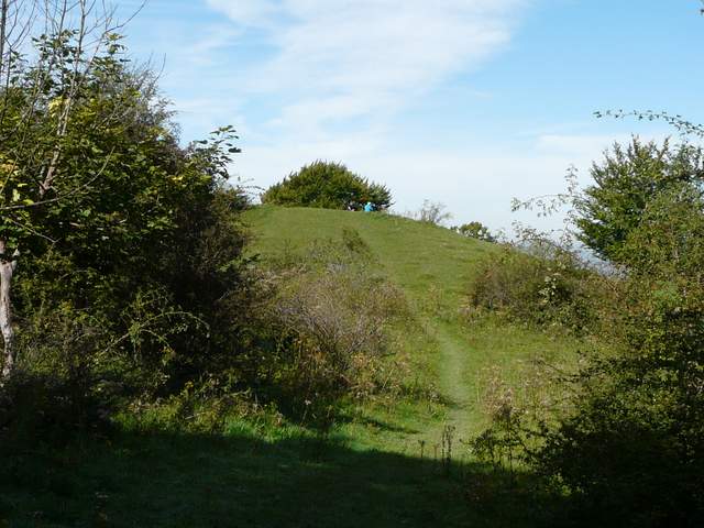
The path up the hillock that is Chequers Knap