Pete's Walks- Bledlow and Radnage (page 1 of 4)
If you are considering walking this route yourself, please see my disclaimer. You may also like to see these notes about the maps and GPX files.
I did this roughly 8 mile circular walk on Saturday, 3rd August 2013. It was a slight variation on the Bledlow and Radnage walk I first did in October 2010. I tried a couple of different paths (alternatives 2 and 3 on the Google map), and now think that they improved the route.
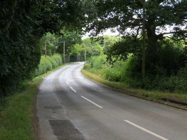
After a very lazy start to the day I parked by the church in Bledlow and started walking about 10.55am, heading westwards down the road to where it turned right by The Lions Of Bledlow pub. My original route went left along a track next to the pub, but I decided to take a path going half-left instead. This crossed a field on a broad headland between crops, with an attractive view ahead towards Wain Hill (I've wrongly described this as Chinnor Hill before, but I think that was really just out of sight from this direction). On the far side of the field I turned right on another track, rejoining my original route from which I'd just cut a corner. I followed the track for about half a mile, as it very slowly gained a little height and took me to the hamlet of Hempton Wainhill. The track went through a gateway and then passed to the right of a cottage. A few yards further on I turned left onto a bridleway that started to climb the wooded slope of Chinnor Hill. Soon the bridleway was running in a sunken lane, but I chose to follow the path along the top of the bank on the right. The two paths came together after a couple of hundred yards and the gradient eased as I passed a more open area on the right, part of a nature reserve.
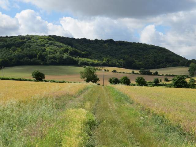
The path from Bledlow, heading southwest. The hill ahead is Wain Hill, which gives its name to the hamlets of Hempton Wainhill and Lower Wainhill at its foot.
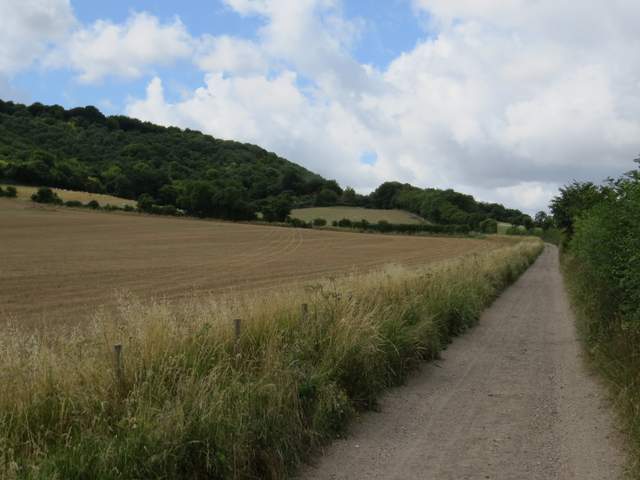
The track from Bledlow to Hempton Wainhill
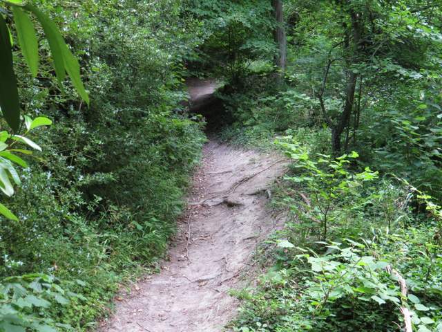
Near the start of the bridleway from Hempton Wainhill to Chinnor Hill
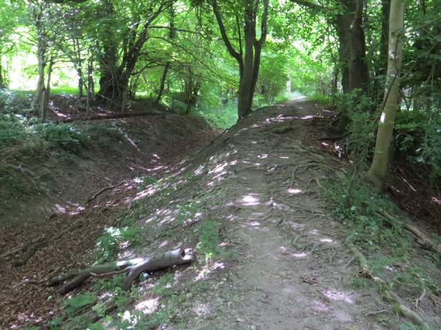
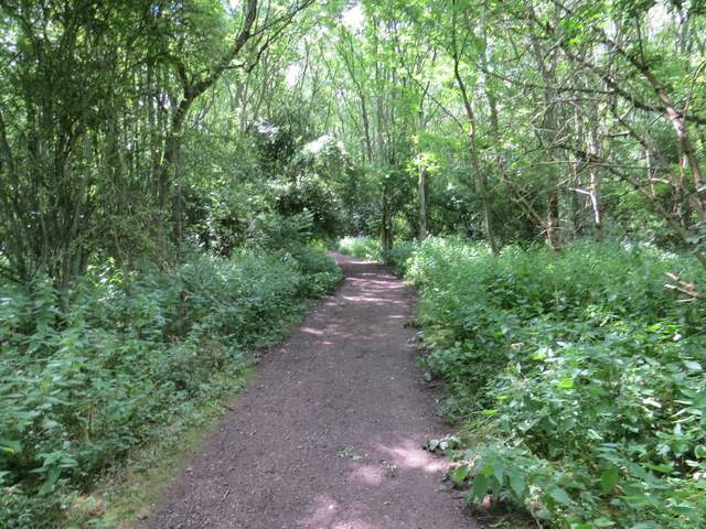
The bridleway to Chinnor Hill
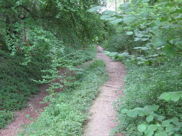
The bridleway to Chinnor Hill
The bridleway to Chinnor Hill
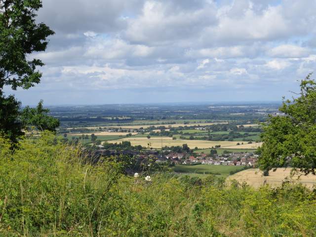
As I emerged onto the top of Chinnor Hill there were fine views right, over Chinnor and the Oxfordshire Plain. I soon passed Chinnor Hill Barrows on the right, some tumuli marked on the map but which I don't remember seeing the last time I came this way. The bridleway then entered woods again, but soon brought me to the car park on Chinnor Hill.
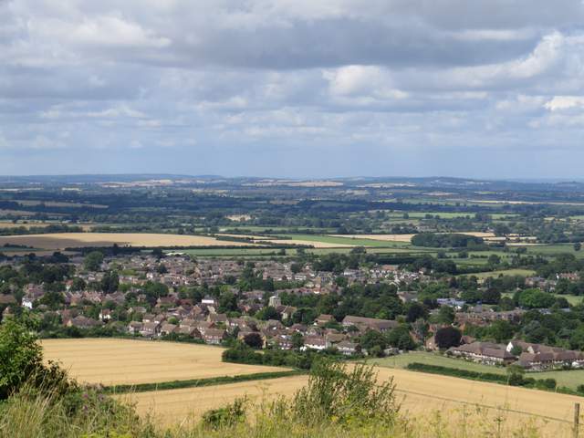
View over Chinnor and the Oxfordshire Plain, from Chinnor Hill
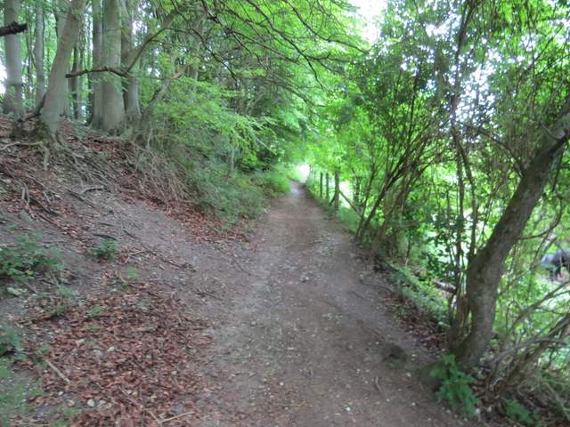
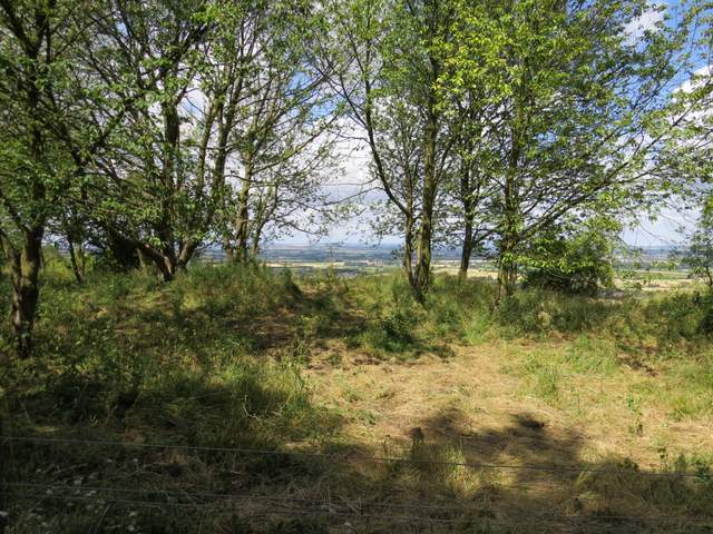
The bridleway continuing over Chinnor Hill
Another view from Chinnor Hill
Not very clear, but these are part of the tumuli called Chinnor Hill Barrows
The bridleway continuing to the car park on Chinnor Hill
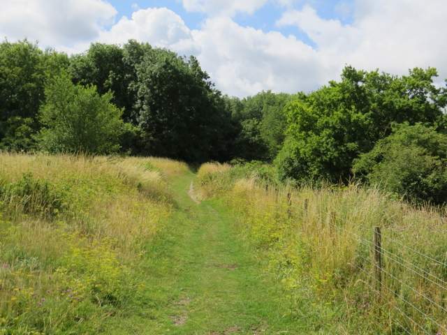
I continued ahead along the lane from the car park to reach Chinnor Road, where I turned left. After maybe 300 yards I took a path on the left, which ran between fences to reach a farm yard, then continued ahead along the drive from the farm to return to Chinnor Road.
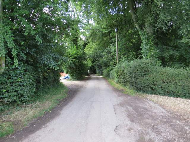
The lane from Chinnor Hill
Chinnor Road approaching Woodlands Farm
The footpath near Woodlands Farm
The footpath continuing along the track from the farm buildings