Pete's Walks- Bledlow and Radnage (page 1 of 3)
If you are considering walking this route yourself, please see my disclaimer. You may also like to see these notes about the maps and GPX files.
I did this roughly 8.5 mile circular walk on Saturday, 6th December 2014. It was a slight variation on the Bledlow and Radnage walk I first did in October 2010, using a couple of different paths (alternatives 2 and 3 on the Google map) that I think improve on that original route. I first did this variation in August 2013 - I actually made another very slight change to the route this time round, but wouldn't recommend it and haven't marked it on the map.
I parked in front of Bledlow church, and started walking about 11.15am - I was well wrapped up, as it was a very cold day. Initially the churchyard was on my right, and I soon saw some walkers appear from a footpath on the left, that path being the route of my return much later. When the road turned right, by The Lions of Bledlow pub, I took a footpath going half-left across a field, and at the end of the path I turned right along a track leading to the hamlet of Hempton Wainhill. On reaching the hamlet, I passed to the right of a cottage, and a few yards further on forked left onto a bridleway rising up the wooded slope of Chinnor Hill.
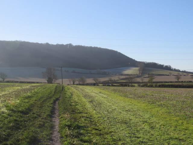
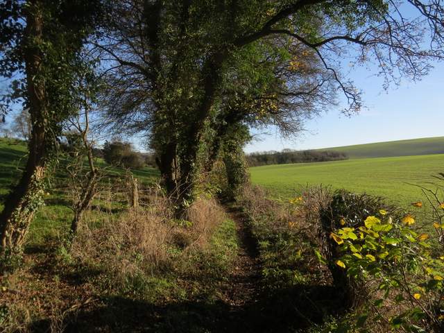
The path from the corner of the lane by The Lions of Bledlow, heading towards Wain Hill
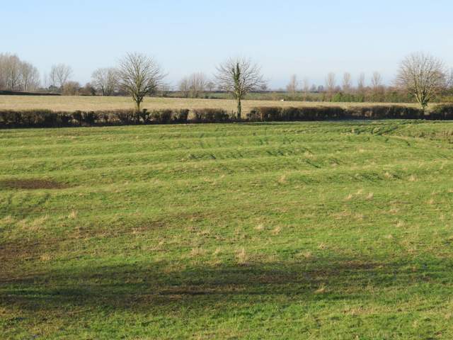
I thought this might possibly be evidence of the mediaeval farming practice of 'Ridge and Furrow', in a field to the right of the track to Hempton Wainhill
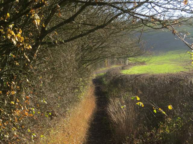
Looking back along the track to Hempton Wainhill
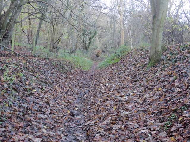
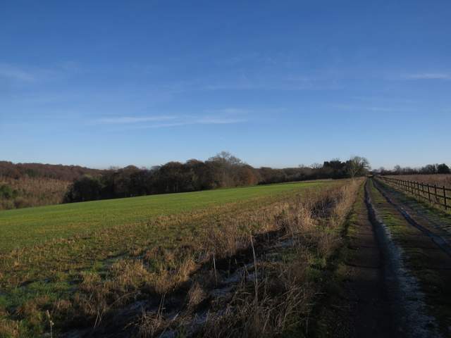
The track to Hempton Wainhill
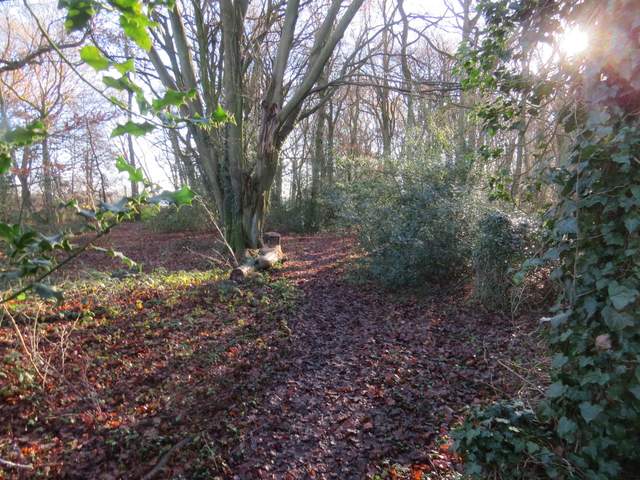
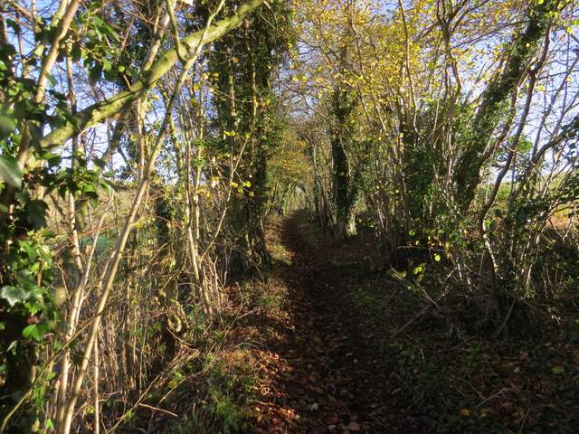
The bridleway from Hempton Wainhill to Chinnor Hill
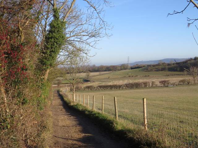
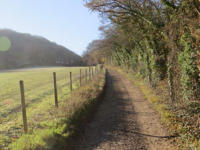
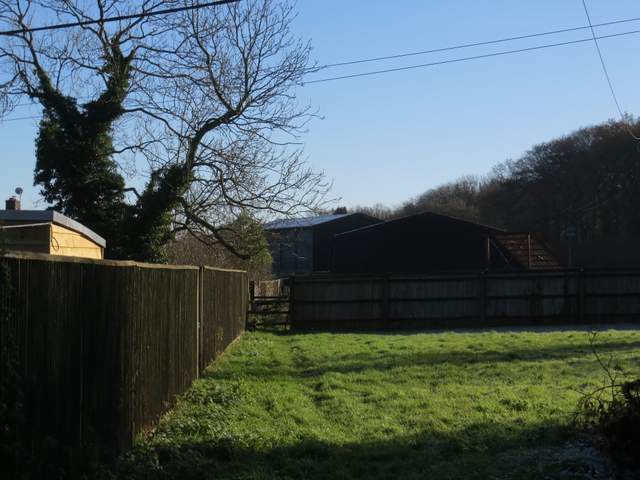
I plodded steadily uphill through the trees, and at the top of the hill was rewarded with a view out to my right, over Chinnor and the flat area to the north of the Chilterns ( I think this is roughly where the Vale of Aylesbury and the Oxfordshire Plain meet, as Chinnor is just inside Oxfordshire). It was very frosty on top of the hill, where I passed the Chinnor Hill Barrows. I soon reached a car park at the end of a lane - there must have been a walk organised from here or some other event, as the car park was full with a few cars parked along the lane. I walked down the lane to its end, then turned left along a minor road. After a couple of hundred yards or so I took a footpath going half-left, running through a small enclosure and then passing farm buildings (a couple of German Shepherd dogs barked at me from the other side of a fence, as usually happens here) before following a drive to return to the same minor road.
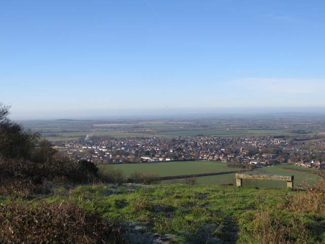
Looking out over Chinnor from Chinnor Hill
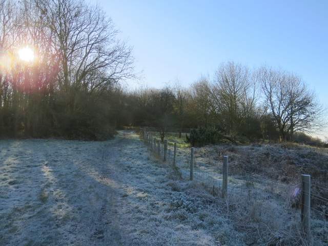
This shows how frosty it was (at 11.42 according to the details recorded by my camera). The burial mound called Chinnor Hill Barrows are on the right of the photo.
The path past Woodlands Farm (I think that's its name)
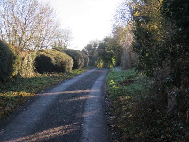
The path continuing from the farm
I turned right, using the verge to the left of the road. The road soon turned right, and when I reached an entrance on the left I turned into it and immediately took a bridleway going half-left into a wood (initially with many holly bushes). White arrows showed the route of the bridleway, and after a short distance I crossed a drive by a property to my left. I soon noticed what looked an amphitheatre with a stage over the fence on my left - a sign indicated it belonged to The Hedgerley Wood Trust. I thought this might be a local naturalist's group but when I looked it up on the web later I found that it was set up as a memorial to "the memory and values of the amazing campaigner for empathy in all areas of life, Boo Armstrong, who died in 2012 aged 37" - you can read about her here: The Hedgerley Wood Trust. The bridleway continued gently downhill through the wood to a valley bottom, where I turned left at a bridleway junction.
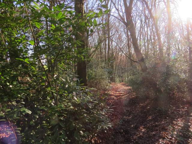
The start of the bridleway through Sunley Wood
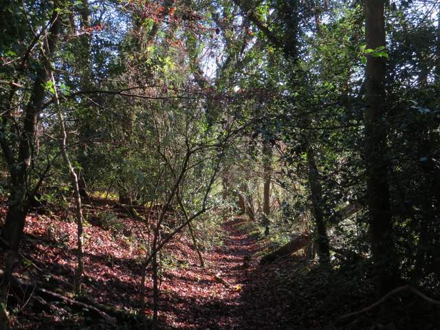
The bridleway continuing through Hedgerley Wood
The bridleway continuing through Hedgerley Wood, shortly before the bridleway junction
The new bridleway followed the valley bottom for some distance, with green fields either side, then continued along the drive from Daws Hill Farm. At the end of the drive, I turned left (actually almost straight on) along a lane in one of the numerous hamlets in Radnage.
The bridleway after I turned left at the bridleway junction
Further along the same bridleway
The bridleway approaching the drive from Daws Hill farm
Nearing the end of the drive from Daws Hill farm