Pete's Walks- Cadmore End and Little Frieth (page 2 of 3)
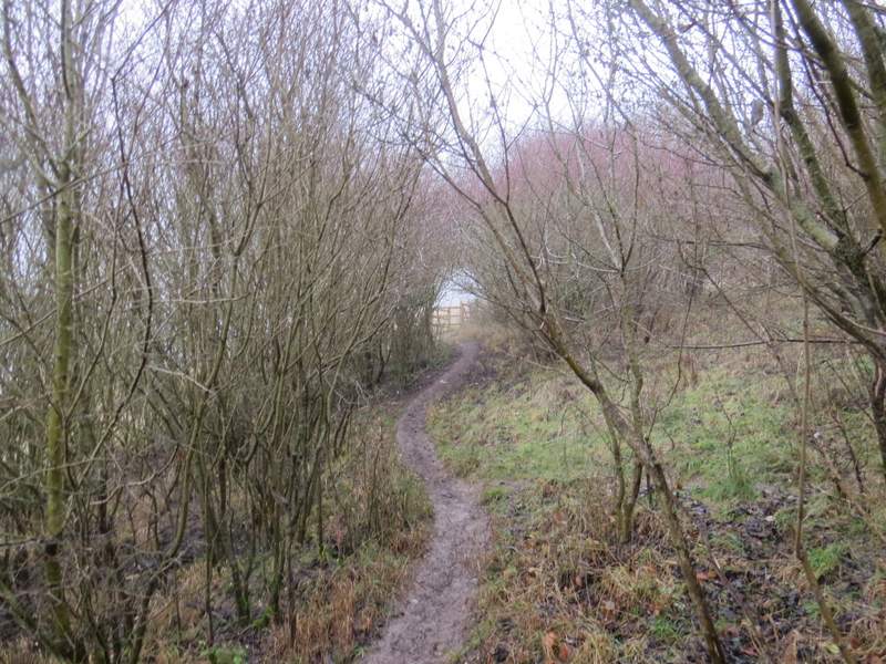
On reaching Moussels Wood I was back on more familiar territory, having ended the section I'd only walked once before (on that Ibstone, Skirmett and Wheeler End walk). I turned right, the path then immediately turning left and heading westwards through the wood. After about a third of a mile the path turned left and soon reached a junction with a bridleway - here I turned right, following a track beside the wood with a view down to the Hambleden Valley around Skirmett on my left. The track soon reached the edge of Adam's Wood, and on the other side it crossed a large empty meadow to reach Fingest Wood.
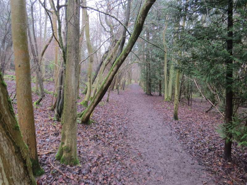
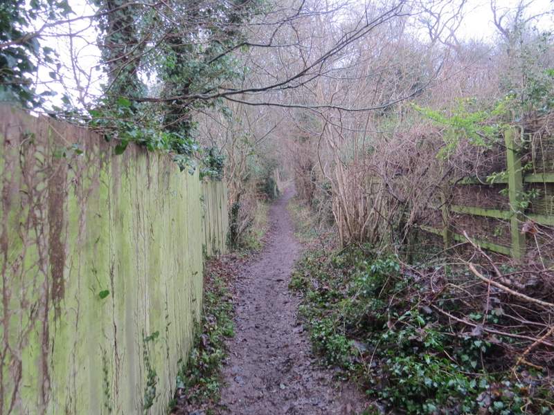
The path through Mousells Wood
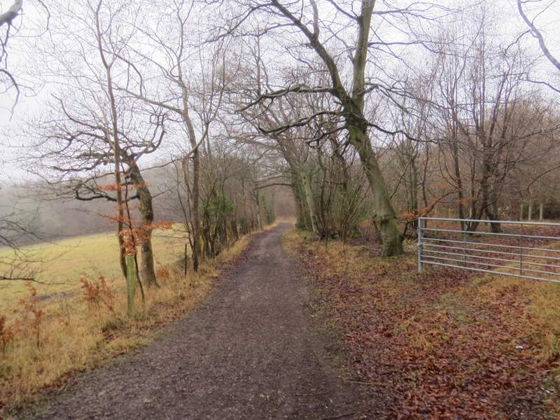
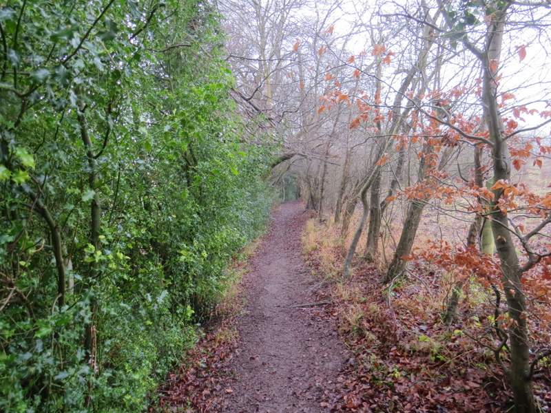
The path on the edge of Mousells Wood, heading to Adam's Wood
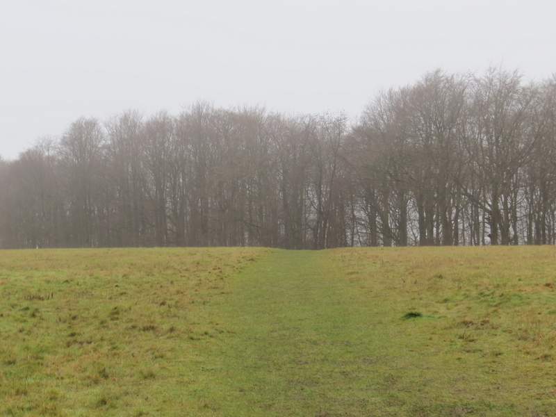
The path continuing from Adam's Wood to Fingest Wood
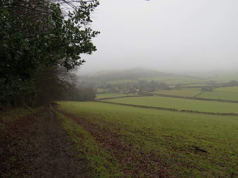
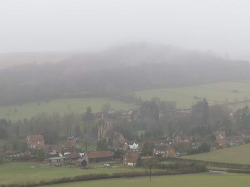
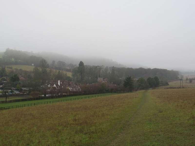
The path continuing from Fingest Wood to Fingest - one of the best views in the Chilterns is hidden by the fog and mist
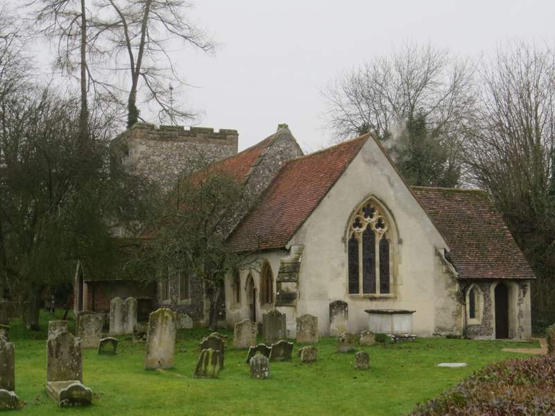
The path descended slightly through Fingest Wood for about 100 yards, before emerging at Fieldfare's stile (a memorial to a well-known nature writer). If it hadn't been foggy there would have been a great view out over Fingest in the valley below, backed by a steep hill surmounted by Cobstone Mill, with two or three other valleys coming in from different sides. The path now went slightly left round the edge of a large empty pasture, with the wood to my left. At the foot of the hill the path continued beside a hedgerow t reach a road on the edge of Fingest. I turned left and followed the road, passing between the village pub on my left and the imposing church on my right. When the road then started to turn left, I went straight on along a footpath between garden fences. On reaching a path junction I went left and soon reached a minor road (it went uphill to my right to reach Cobstone Mill and then go on to Ibstone, where I would meet it again later on). The path continued across the road, running between hedges or trees, with a steep hillside on my right. It then crossed a large meadow to a corner, where I turned left at a path junction and a few yards later reached the centre of the village of Turville.
A close-up shot of Fingest - Cobstone Mill is hidden by the mist
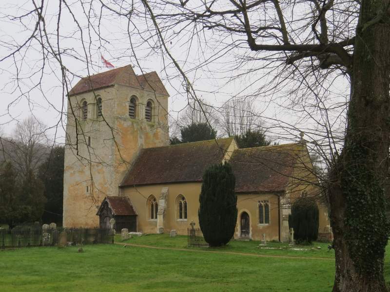
Fingest Church
Near the start of the path from Fingest to Turville
Further along the same path
The path approaching Turville
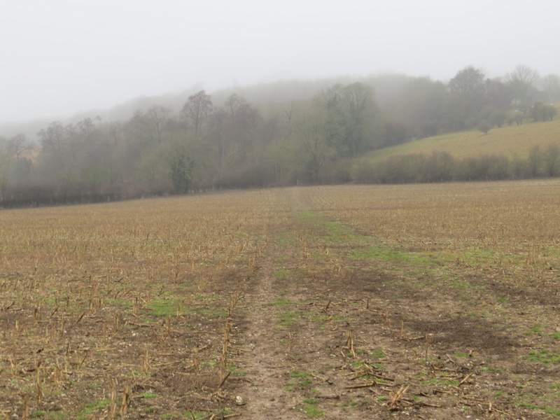
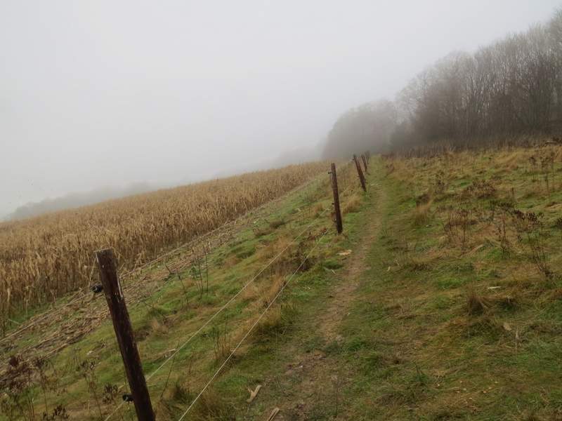
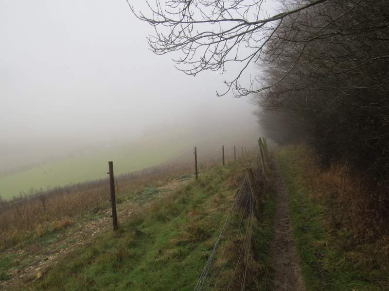
I turned right, passing the church on my left, and after two or three hundred yards took a footpath on the right. This passed beside a house on my right, then went half-left across a field (containing the remains of a maize crop). It then went through the corner of sheep pasture (on a very steep hillside), before continuing gradually uphill through a section of woodland. The path then ran between a fence and more woodland on my left - again there would have been nice views here if it wasn't for the fog.
Turville church
Near the start of the path from Turville to Ibstone
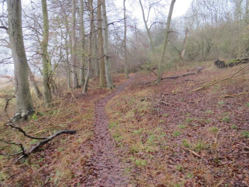
A little further along the same path, just after entering the first wood
The same path shortly before leaving the first wood
The path continuing between the two sections of wood
The path continuing between the two sections of wood