Pete's Walks- Cadmore End and Little Frieth (page 1 of 3)
I did this roughly 7.5 mile circular walk on Sunday, 4th January 2015. Click here to see a map of the walk (but only if you have already read my disclaimer and notes regarding maps). It was a new route for me, though only about a mile and a half were on paths that I'd not walked before..
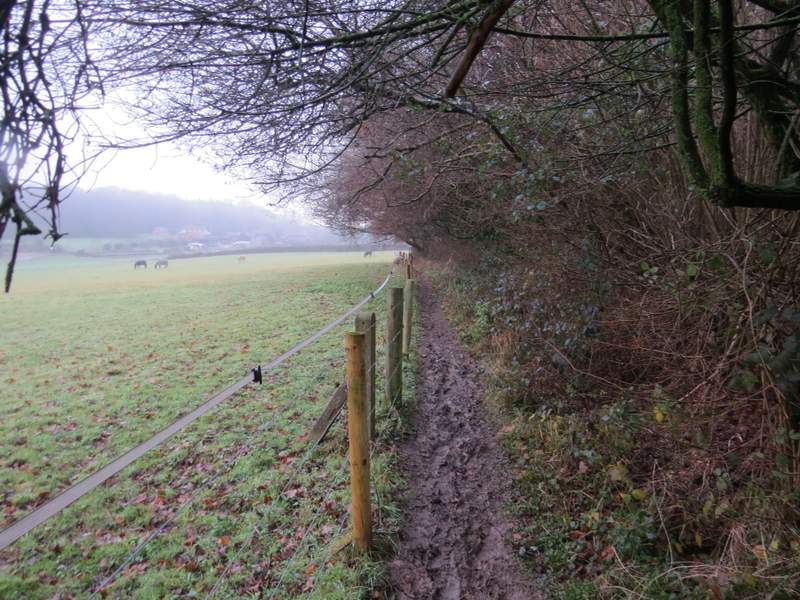
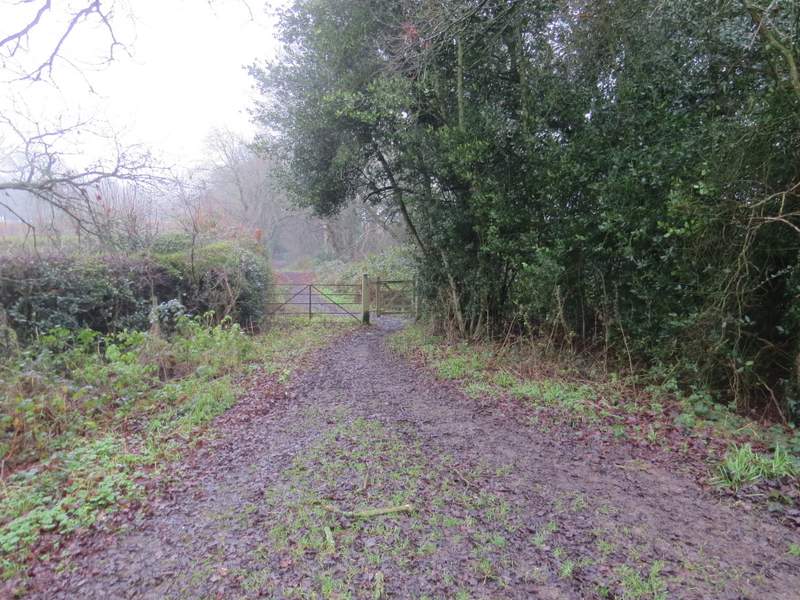
I parked in the small car park in Church Road, Cadmore End (by the common opposite the school). It was a rather foggy day - the forecast said it would clear later, so as I started walking about 11.40am I hoped it would be clearer by the end of the walk, but unfortunately that wasn't to be. I started by walking down Church Road, passing the church on my left and following the road as it bore slightly left through the houses of Cadmore End. When it took me back to the main road through the village, I turned right and followed the road for about a quarter of a mile until a lane or drive went left (opposite the entrance to Rackley's Farm). The lane or drive immediately crossed the M40 motorway, and a few yards further on I turned right along another drive. After a hundred yards or so, I came to a waymark indicating where a path went right, into the trees of Cadmore End Common. The path was easy to follow and after a few hundred yards I passed a large pond on the left. I just kept straight on, staying close to the edge of the common to my right, until I reached a road in Wheeler End. I went a few yards left then took a bridleway on the other side of the road. When this forked on a grassy part of a common, I took the right fork and followed it to reach a lane in Wheeler End. The right fork was the start of a section of paths I'd only walked once before in the opposite direction (see the Ibstone, Skirmett and Wheeler End walk I did in December 2011 - I'm surprised it was that long ago).
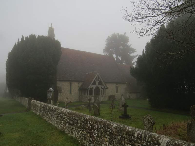
Cadmore End church
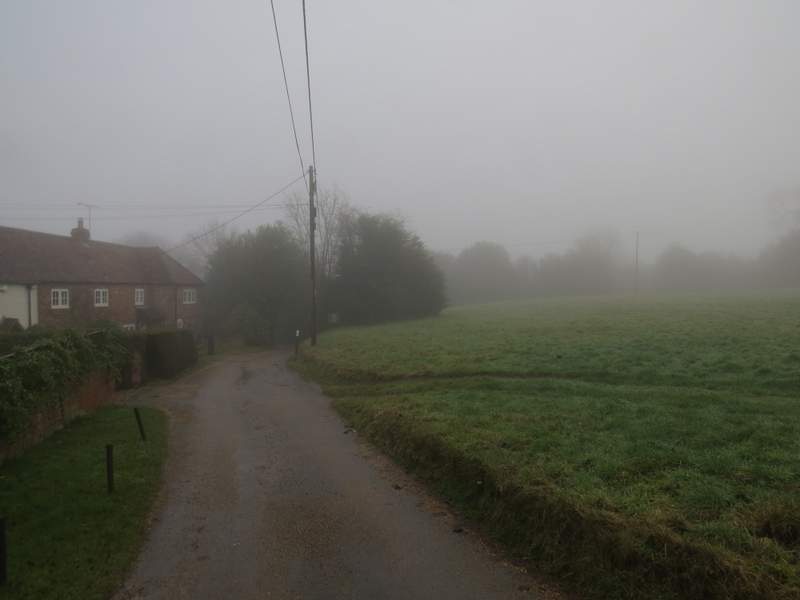
The lane through Cadmore End, approaching the main road
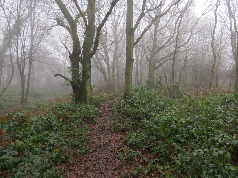
Near the start of the path through Cadmore End Common
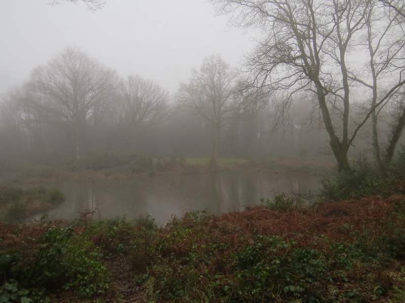
Pond on Cadmore End Common
The fork in the path at Wheeler End, where I went right
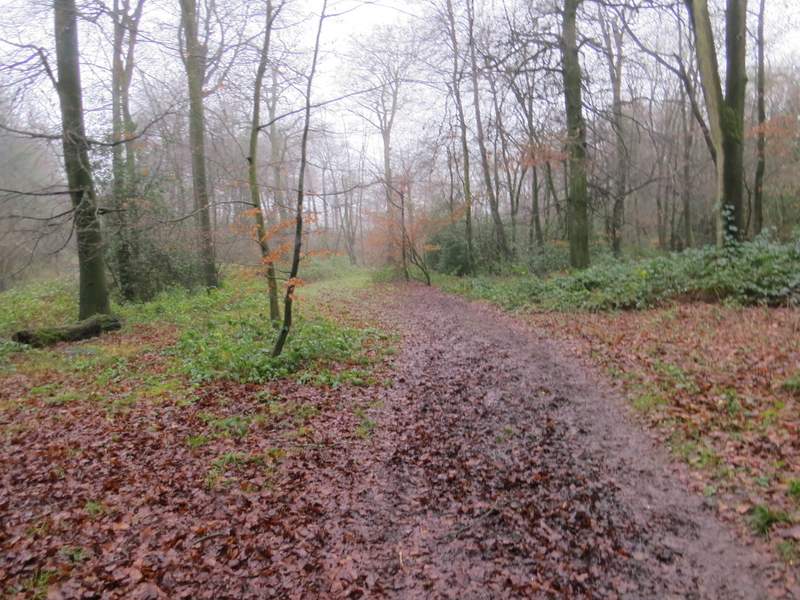
I turned right and followed the lane through the village and back over the M40 motorway. Immediately past the motorway I turned right down a flight of steps, turning right at the bottom and following a footpath next to the motorway. I'd heard the noise of the motorway traffic throughout the walk so far, and was beginning to think my route planning had been poor, but after quarter of a mile or so the path turned left and I'd soon forgotten about the road noise. There were several large paddocks on my left as I followed the path on to a road in the hamlet of Bolter End. I went a few yards left, then took a bridleway on the other side of the road. This passed a cottage and then turned left at a gate to enter Fining Wood.
View from the steps down after crossing the M40
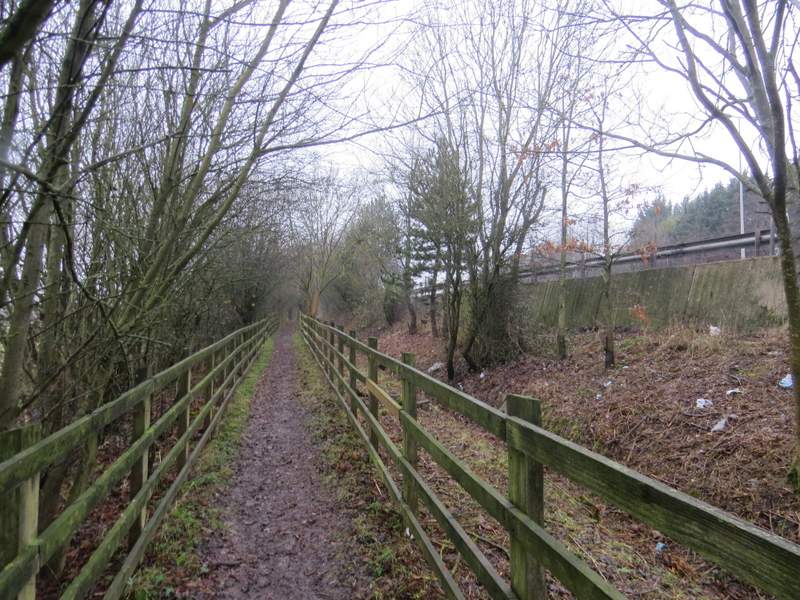
The footpath from Wheeler End beside the M40
The path continuing, now heading away from the motorway towards Bolter End
The bridleway entering Fining Wood
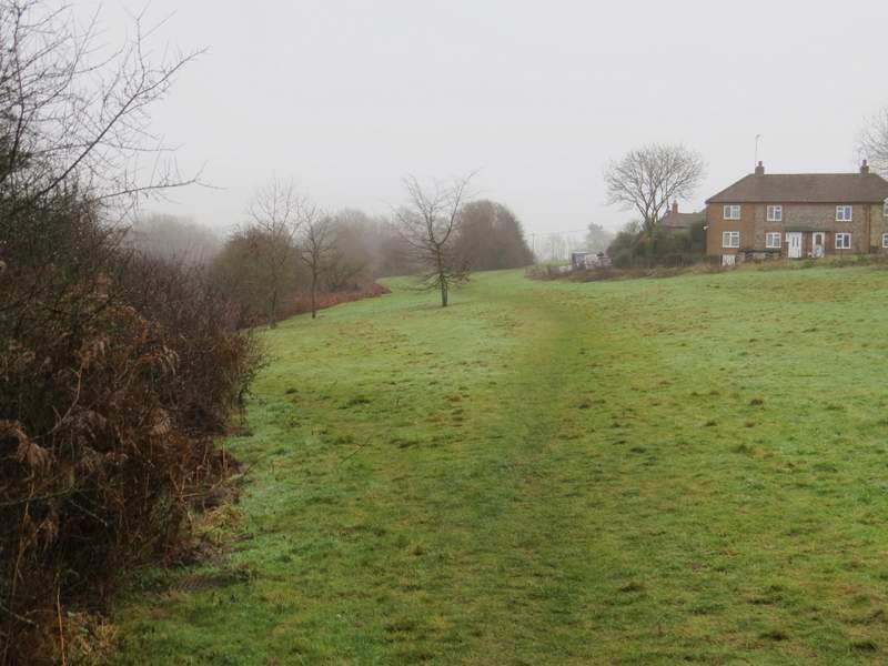
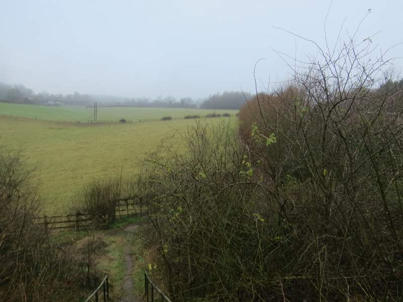
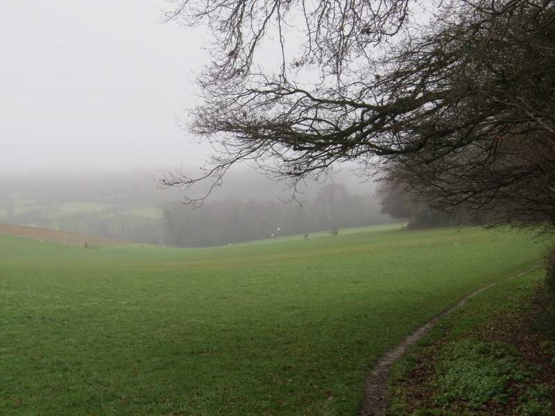
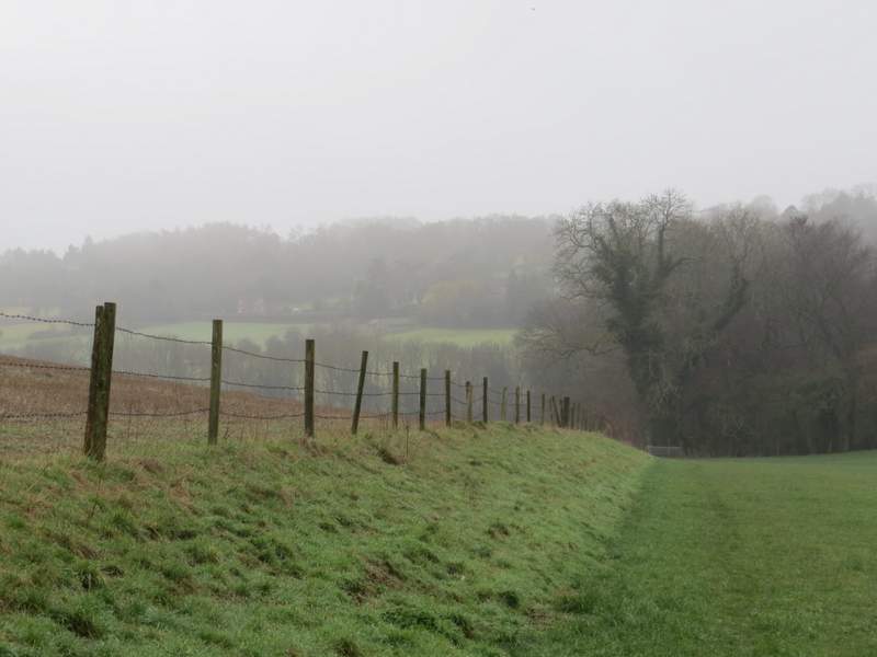
I soon passed a couple of gates by field entrances, then I forked right where a path left the bridleway. After a few yards on a broad track, the path forked slightly right and entered the trees again. It led onto a path junction at the edge of the wood. Here I left the wood, and turned right beside the trees, with foggy views of a hillside descending to a valley ahead of me. On reaching a stile, I turned left and followed the remains of a fence across the grassy field on my left. On reaching a fence corner I turned right, and followed the fence gently downhill. In the next field the path continued downhill beside a small wood on my right, before reaching a gate leading onto a lane. Across the lane a path led very gently uphill (I remembered this as being much steeper!) across another grassy field to reach Moussel's Wood on the edge of Little Frieth.
The path through Fining Wood
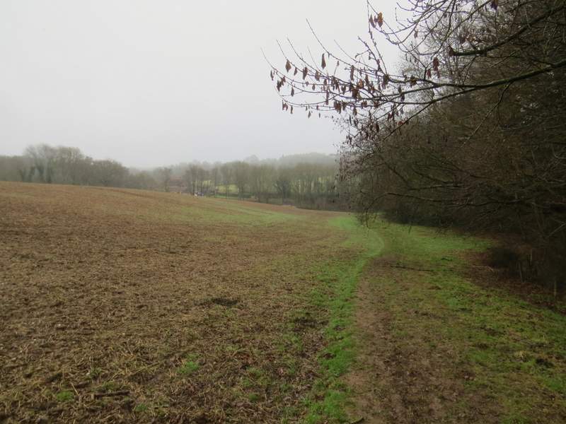
The path beside Long Copse - the route follows the edge of the wood to a stile (just visible), turns left to reach the corner of the brownish field on the left, then turns right to continue downhill beside a fence
The path descending to reach a lane near Little Frieth
The path descending to reach a lane near Little Frieth
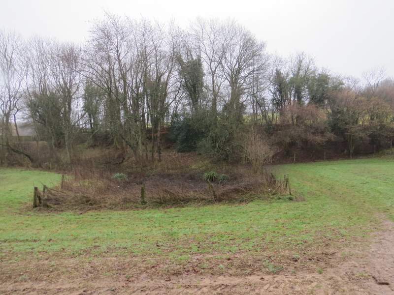
The path approaching a lane near Little Frieth (it reaches a gate to the right of the fenced off area)
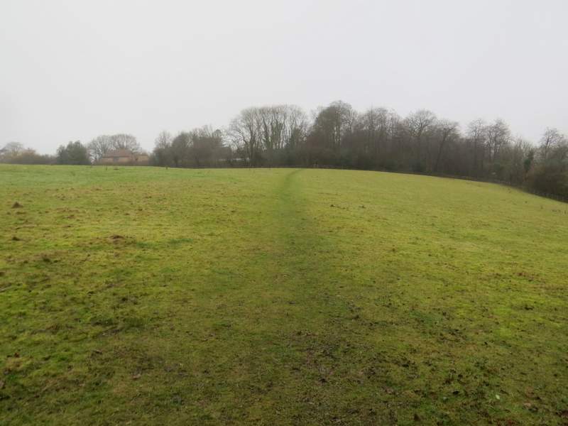
The path from the lane to Mousells Wood