Pete's Walks- Alternative Four Hills Walk (page 2 of 6)
If you are considering walking this route yourself, please see my disclaimer. You may also like to see these notes about the maps and GPX files.
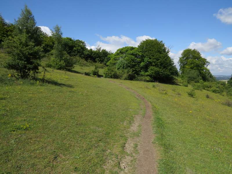
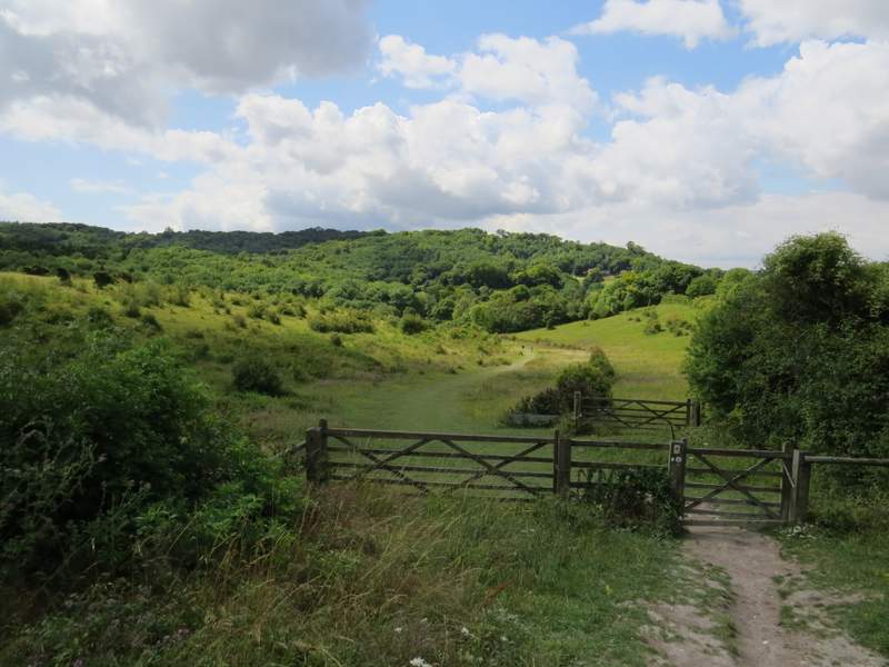
Across the stile I turned right onto what the OS map shows as the 'Cradle Footpath' (I've still no idea where this name comes from). It followed a fence on my right for a while, then through some trees and on across an area of grass and bushes. After a while I turned right off it to go to the top of an obvious hillock, named Chequers Knap, from where I again admired views out over the Vale of Aylesbury.
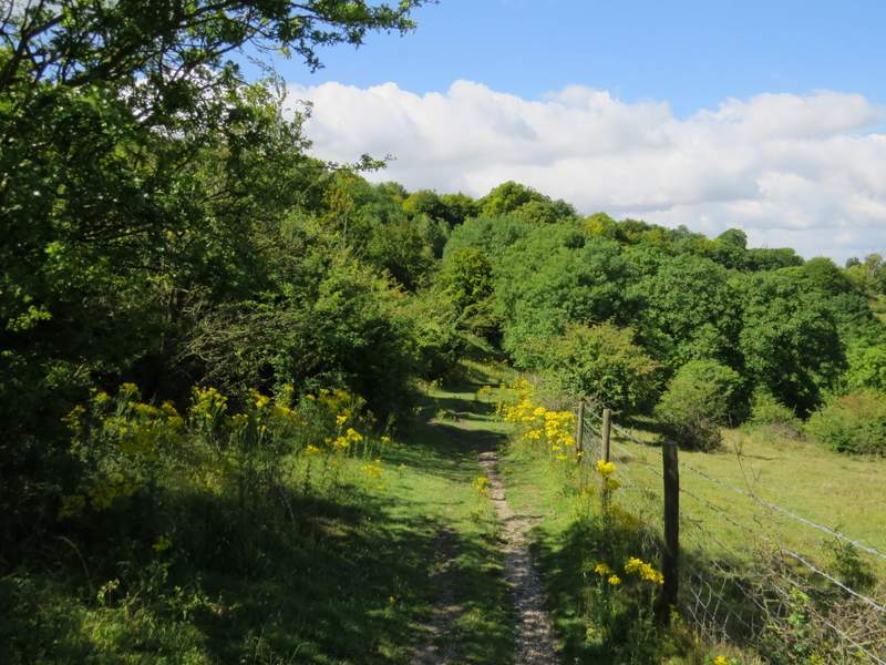
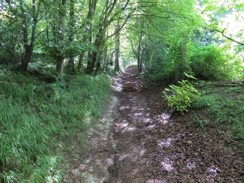
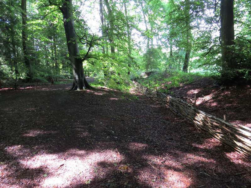
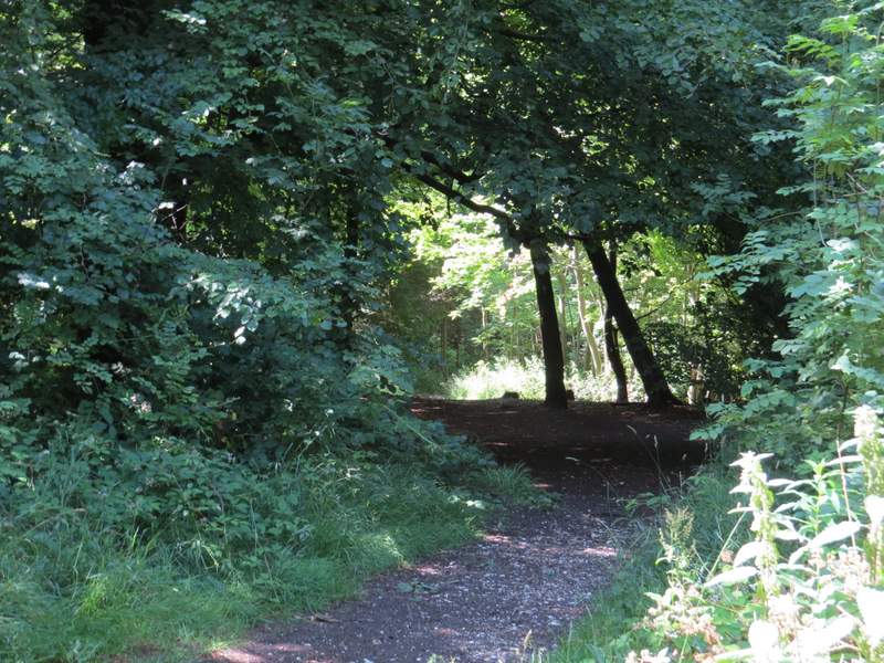
The 'cradle footpath'
The 'cradle footpath'
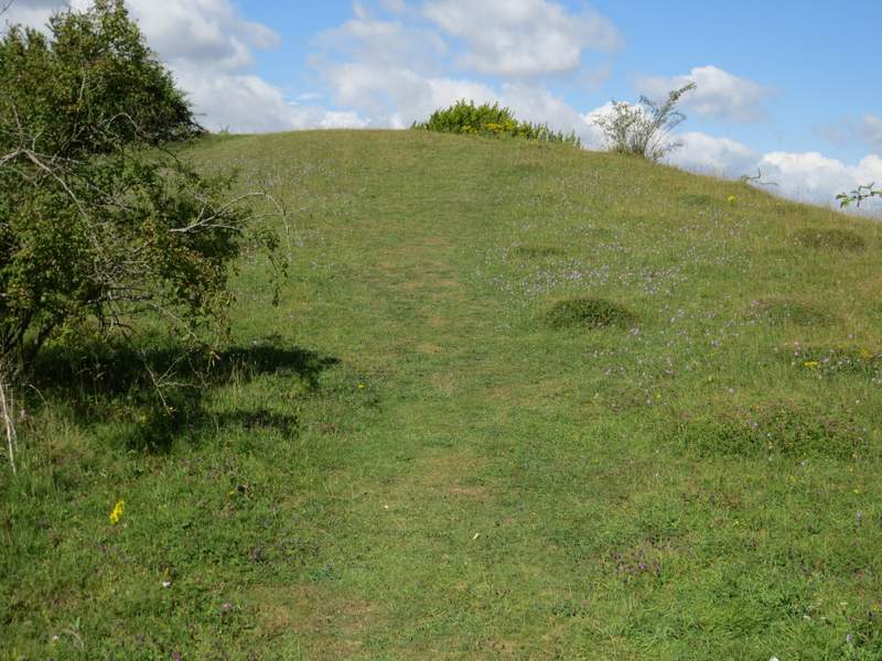
Chequers Knap
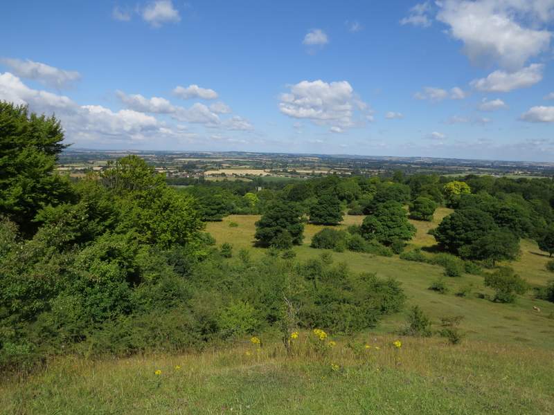
View over the Vale of Aylesbury from Chequers Knap
I then turned round and took a different path (starting just right of the one I'd come up) down from Chequers Knap to reach a metal kissing-gate by a tree, beyond which I turned left along a bridleway climbing the wooded slopes of Pulpit Hill. After a few hundred yards, waymarks on a post indicated where a footpath came in on the left - here I turned right onto a clear path (that is not waymarked, nor shown on the OS map) that led through the trees towards the iron age hillfort at the top of Pulpit Hill. After a while I passed some beech trees on my right, and by one of the last of these I turned left at a path junction. This led me through the centre of the hillfort, though there is not really much to see (the one at Cholesbury is far more impressive - see this walk here for photos and a description). On the far side, some new fences marked the entrance/exit of the hillfort, and I turned right to almost follow one of the fences down to a well-made track, where I turned left.
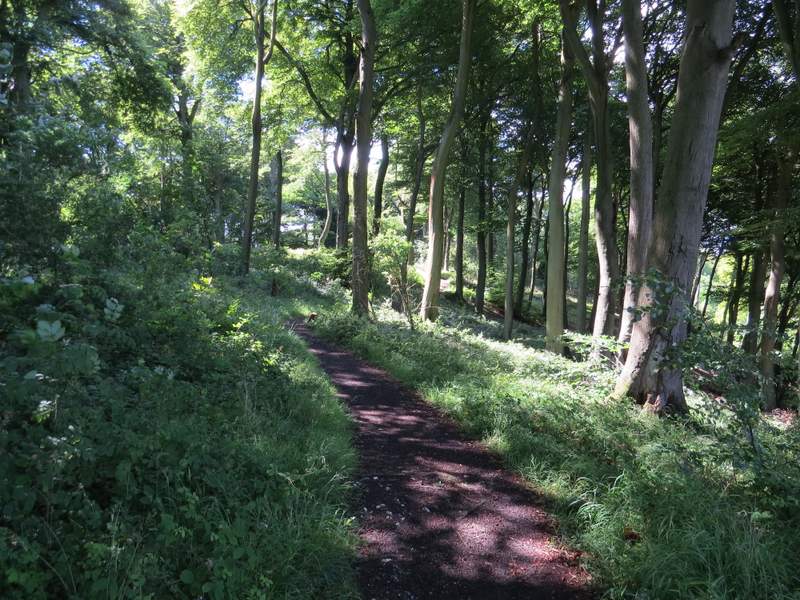
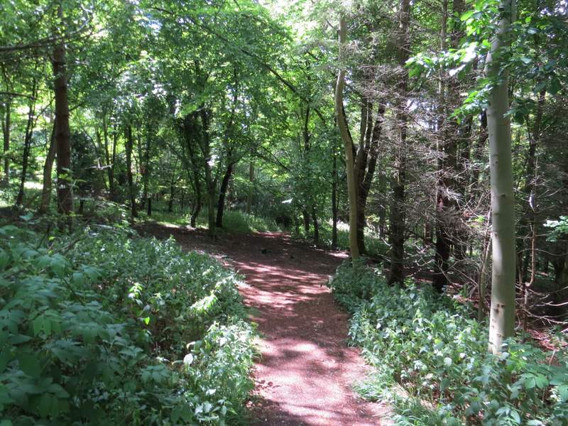
The bridleway up the side of Pulpit Hill
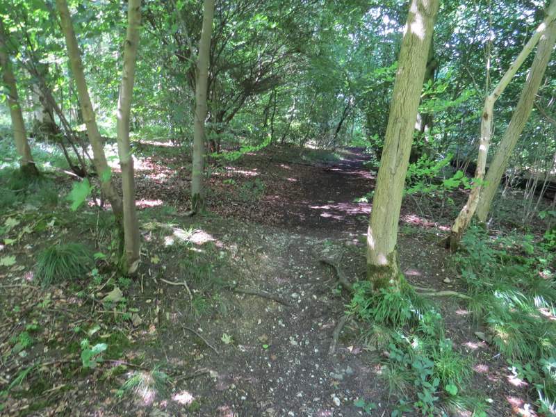
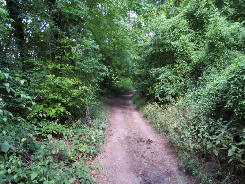
Start of the path to the top of Pulpit Hill
The path to the top of Pulpit Hill
This is within the hillfort on top of Pulpit Hill
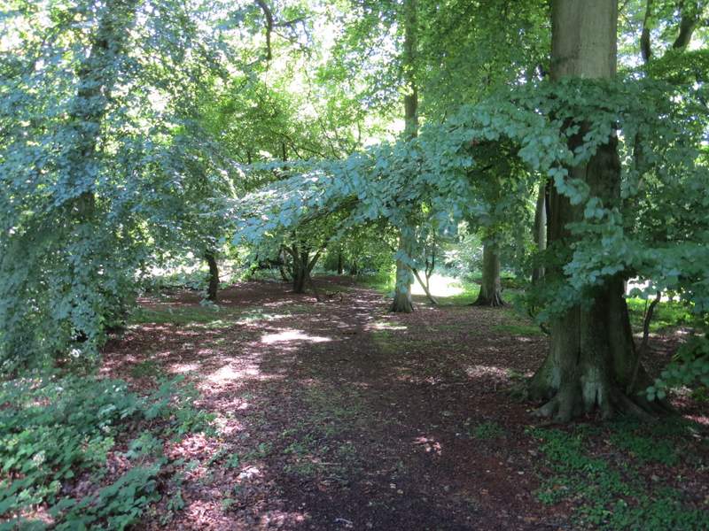
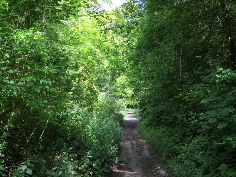
The path beside the hillfort
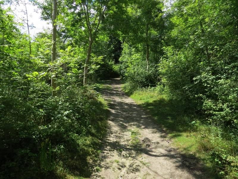
As I walked along the level track through the trees, I suddenly saw a large Orange butterfly. It settled just long enough for me to get a photo and identify it as a Silver-washed Fritillary, the first I'd seen this year. After a few hundred yards I turned right at a path crossroads (by a 'Pulpit Hill fort' sign pointing back the way I'd come) - there was another Silver-washed Fritillary and a Comma here, on some Brambles. I thought it might have been the same Fritillary as before, but when I got home and looked at the photos (and a butterfly book!) it was clear that the first one had been a female while the second was a male. The path I'd turned on to dropped steadily downhill through Pulpit Wood to reach a small car park. Here I turned right and followed a broad bridleway heading northwest. Along here I saw another male Silver-washed Fritillary and a Southern Hawker dragonfly.
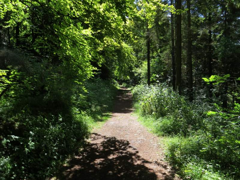
The path through Pulpit Wood
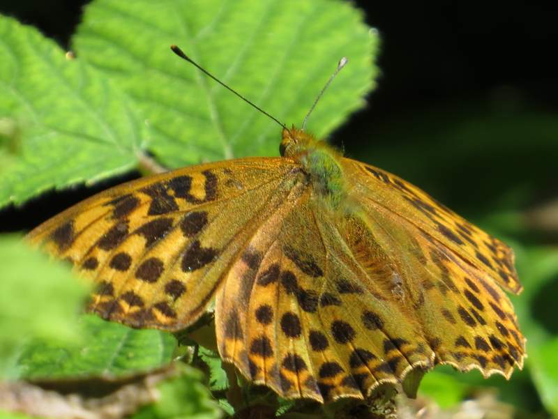
Silver-washed Fritillary (female)
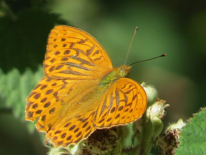
Silver-washed Fritillary (male)
The start of the path descending to the Pulpit Hill car park
The path descending to the Pulpit Hill car park
The bridleway going northwest from the Pulpit Hill car park
The bridleway going northwest from the Pulpit Hill car park
After about half a mile, I came to a bridleway crossing where I turned left through a gate, and strolled gently downhill along a wide path through the 'Grangelands and Pulpit Hill nature reserve', with the wooded slopes of Whiteleaf Hill visible ahead of me. When the path split in two, I kept right and a few yards further on turned right through a gate, following a path close to a garden on my right (I spotted some Nettle-leaved Bellflowers along here) to reach a road in Cadsden. I turned left for a short way, before forking right to pass in front of a pub ('The Plough at Cadsden'). Immediately after the pub I turned right, following part of the Ridgeway national trail as it made its way up Whiteleaf Hill. After just a few yards it forked left through a gate - then kept right where the path split, but the two paths rejoined a little further on so it didn't really matter. It was a long (by Chiltern standards) plod up the wooded slope, but the steepest section didn't seem quite as steep as I remembered.
The start of the bridleway through the Grangelands and Pulpit Hill nature reserve
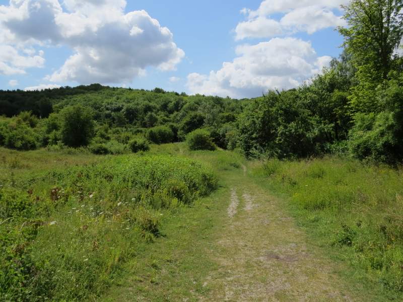
The bridleway through the Grangelands and Pulpit Hill nature reserve - I took the right fork where the path splits here
The Ridgeway national trail, heading up Whiteleaf Hill
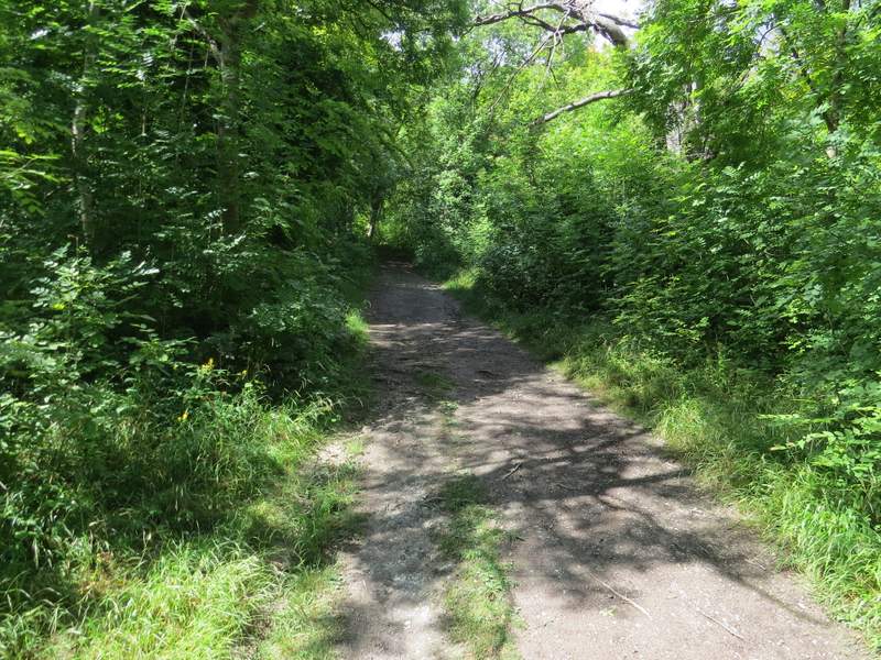
The Ridgeway national trail, heading up Whiteleaf Hill