Pete's Walks- Alternative Four Hills Walk (page 3 of 6)
If you are considering walking this route yourself, please see my disclaimer. You may also like to see these notes about the maps and GPX files.
Eventually the path started to level out, and I finally reached the open grass area at the top of Whiteleaf Hill. Again it was suddenly very windy here and quite cool, so I just quickly took some photos of the views and of the Neolithic burial mound (amazing to think it's been there for 5,500 years) and continued along the Ridgeway, going left.
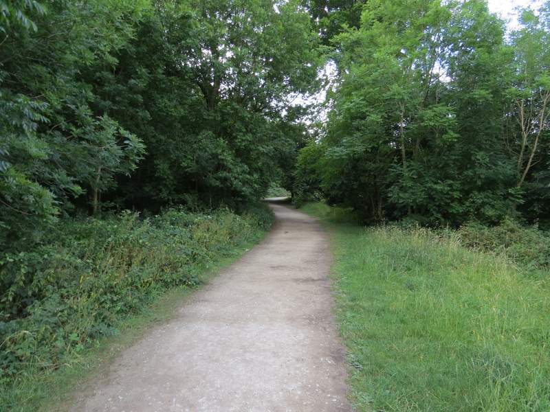
The Ridgeway national trail, heading up Whiteleaf Hill
The Ridgeway national trail, heading up Whiteleaf Hill
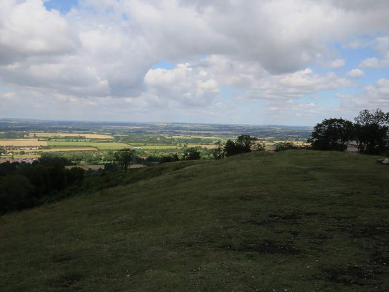
Looking right from Whiteleaf Hill
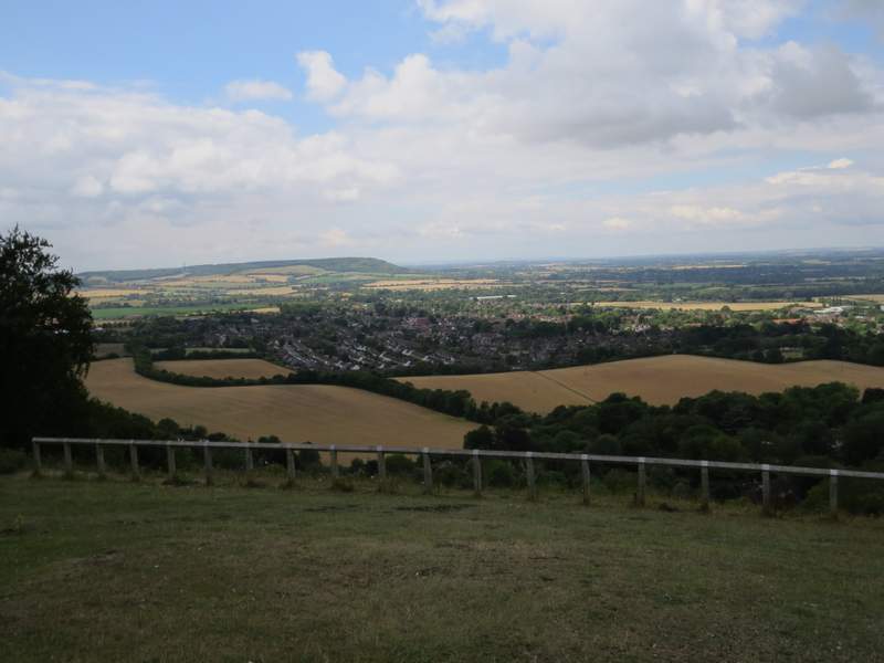
Looking out over Princes Risborough from Whiteleaf Hill
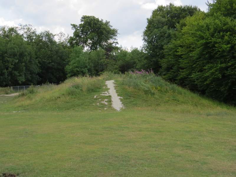
The Neolithic burial mound on Whiteleaf Hill, which is 5500 years old
The Ridgeway, heading away from Whiteleaf Hill
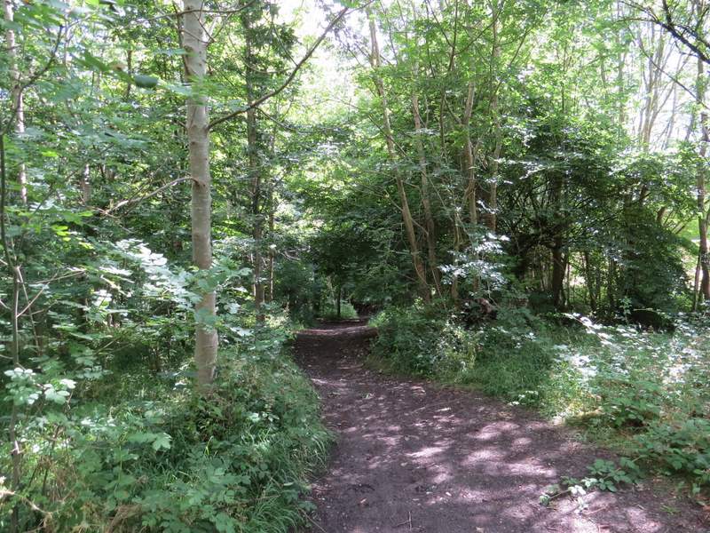
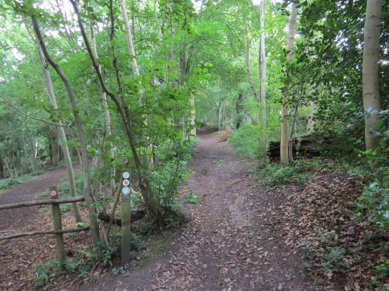
After two or three hundred yards I turned left onto a bridleway, to head east. This ran just inside the edge of a beech wood, with a large field just to my right. I kept right when I came to a shallow fork in the path, then immediately after the corner of the field on my right I turned right, again staying quite close to the field. When the path emerged from the wood (Sergeant's Wood), I turned left along another bridleway, between the wood and another field on my right. Just beyond the end of the field I came to a staggered junction of paths (shown by arrows on a tree) - my normal Four Hills Walk goes right here (heading for Parslow's Hillock), but today I went a few yards further on then took the turning on the left.
Start of the footpath going east from Whiteleaf Hill
The footpath going east from Whiteleaf Hill
The footpath going east from Whiteleaf Hill - this is where I kept right at a fork in the path
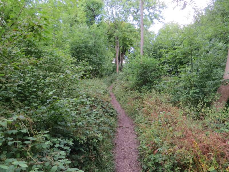
The path along the south-western side of Sergeant's Wood
The path along the south-western side of Sergeant's Wood
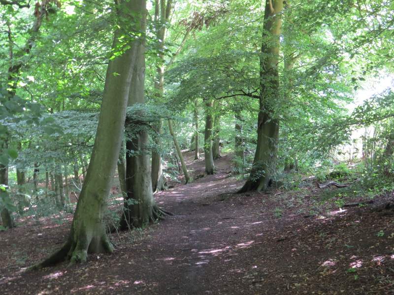
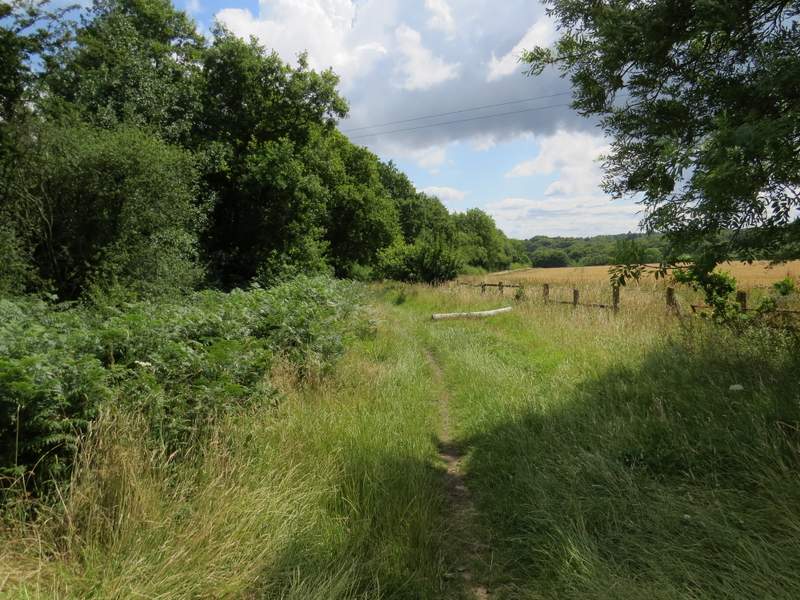
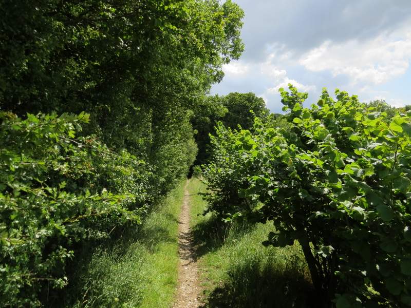
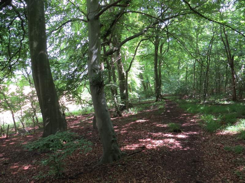
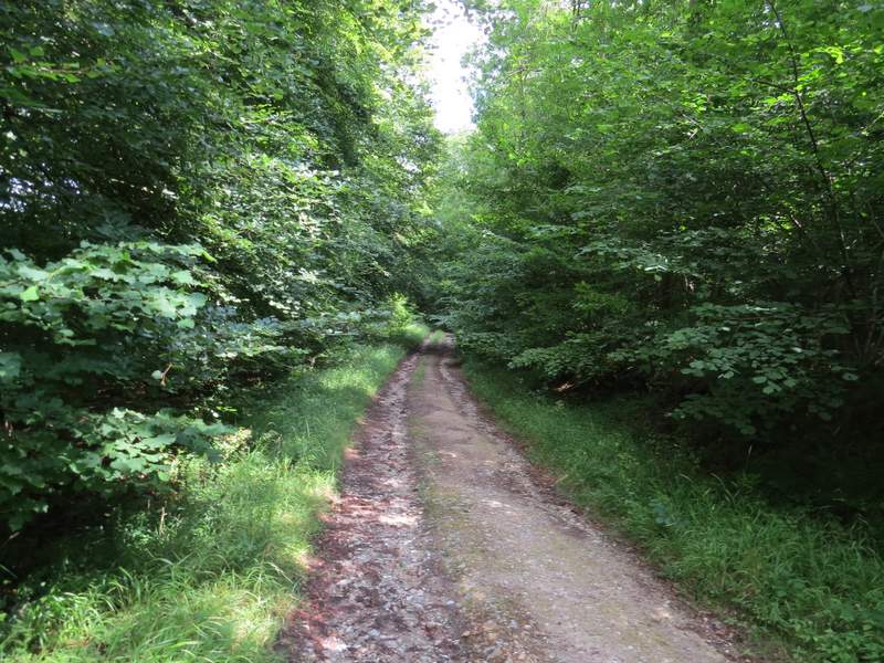
This was a new path for me, the first on today's walk. It led through a wood (I think I was now in Knighton's Hill Wood) towards a corner of a field, before turning right to continue through the wood with the field close by on my left. After some distance the path joined a track, where I turned left (the map shows the field was still to my left, but I couldn't see it now). I followed the track until it brought me to what looked like a lane but was actually the drive to Solinger House (off to my left), where I turned right. I was now back on familiar territory, having last been here on this Coombe Hill and Redland End walk in February this year.
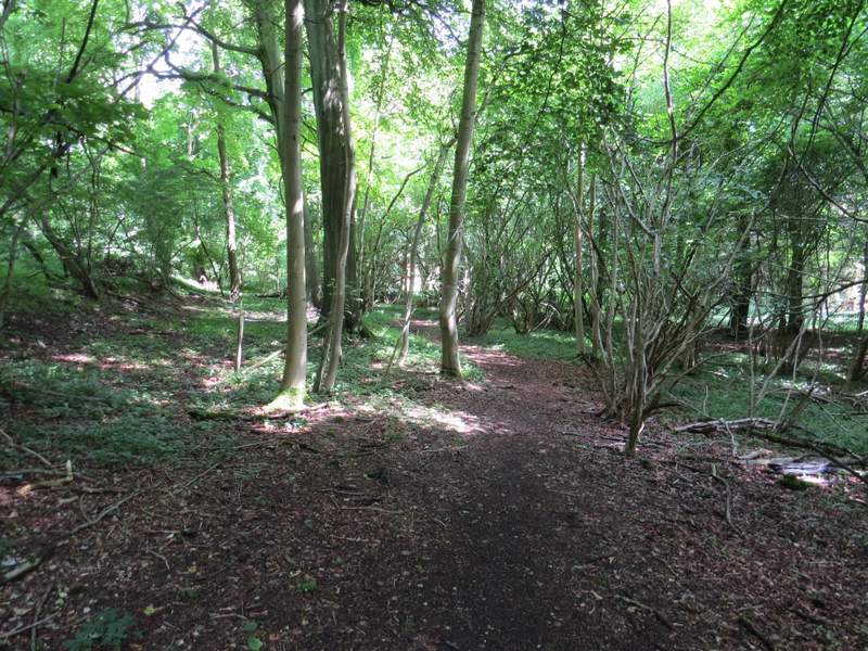
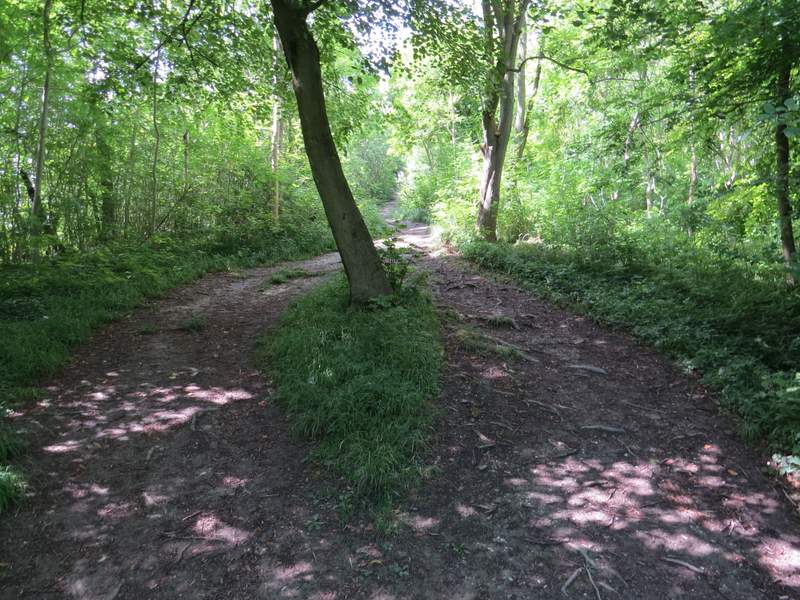
Near the start of the path through Knighton's Hill Wood
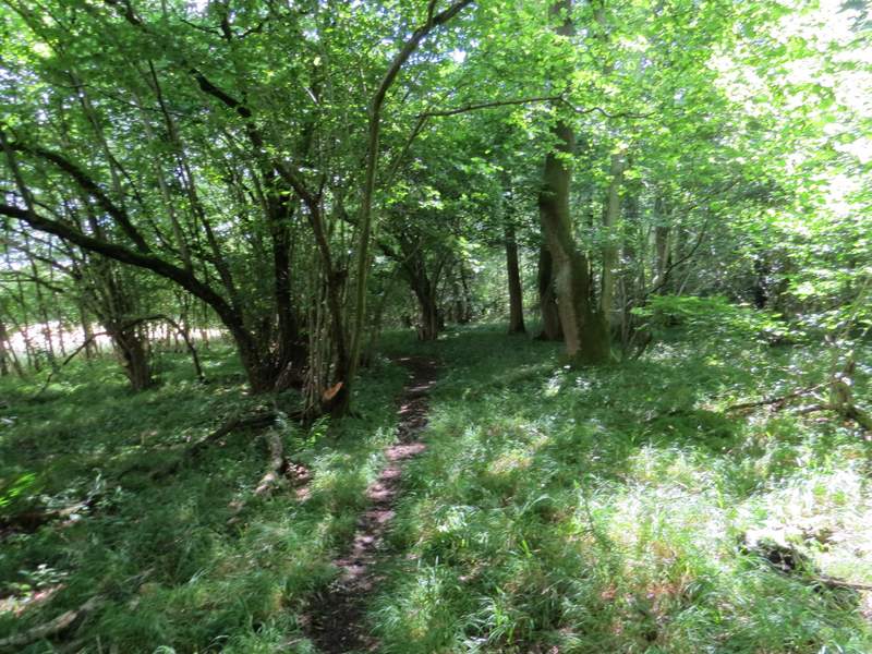
The path through Knighton's Hill Wood
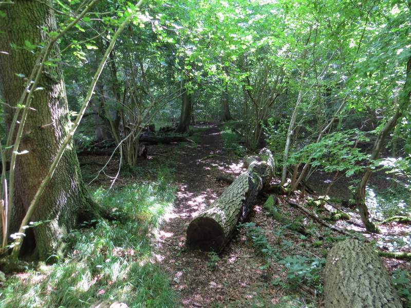
The path through Knighton's Hill Wood
The path through Knighton's Hill Wood
The path through Knighton's Hill Wood
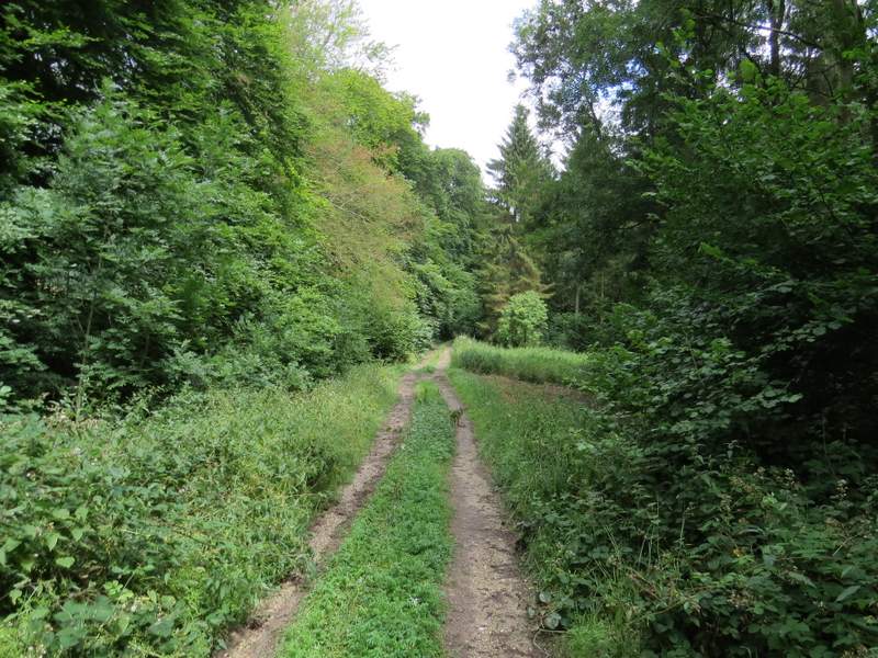
The path through Knighton's Hill Wood