Pete's Walks- Alternative Four Hills Walk (page 1 of 6)
If you are considering walking this route yourself, please see my disclaimer. You may also like to see these notes about the maps and GPX files.
Google map of the walkDownload GPX file of the walk
I did this circular walk of about 12.3 miles on Saturday, 25th July 2015. It was a new route for me, although there were only three short sections that I'd not walked several times before as part of other routes.
The idea of this walk was to do a shortened version of what I call the 'Four Hills Walk' (which is a snappier title than 'Coombe Hill, Beacon Hill, Pulpit Hill and Whiteleaf Hill'). I'm still not fully fit, so I wanted to reduce the length of the walk by taking a shorter route from Whiteleaf Hill to Dunsmore, omitting Parslow's Hillock and Little Hampden. However, if I didn't feel too bad when I got as far as Dunsmore I planned to do the extension of the walk that includes Bacombe and Bacombe Hill (see here for a description of that extended walk). In the event, when I reached Dunsmore I did decide to include Bacombe Hill and also decided to include a couple of paths I'd not used before. As a result, the walk ended up being not much shorter than my usual 'Four Hills Walk' route. In a way, I rather regret that now as I really wanted to document a route over the four hills that was much shorter than my usual route - I guess I'll just have to do that another time. There is such good walking in this part of the Chilterns that there are plenty of route options to choose from.
I parked at the car park at Coombe Hill (Grid Reference SP 852063), near Wendover, and started walking about 9.50am. I went through the gate by the entrance to the car park and immediately turned half-left (other paths went straight on, the way I'd come back, and half-right). There were trees and fences just to my left, and an open area of grass and bushes on my right. After a few hundred yards I passed a metal kissing-gate on my left (and a Ridgeway 'acorn' sign). A few yards further on I emerged from a gap between some trees - it was suddenly very windy here, the wind obviously hitting the steep side of Coombe Hill and being 'funnelled' through this gap. I could look right here along the western side of Coombe Hill and out to the Vale of Aylesbury. The path now dropped very steeply straight down the hillside, this being one of the steepest paths I know in the Chilterns (I've just seen that in my report of the Four Hills Walk in 2009 I mentioned this was painful on my arthritic knees, and they are certainly no better now!). At the bottom of the slope I crossed a bridleway and continued a short way between fences and hedges to reach a road.
The start of the path from the Coombe Hill car park
Looking half-right towards the Vale of Aylesbury - this shot gives you some idea how steep this hillside is, and the path goes straight down
The path descending the side of Coombe Hill
The path now approaching the road at the foot of the slope
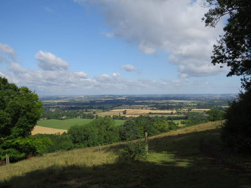
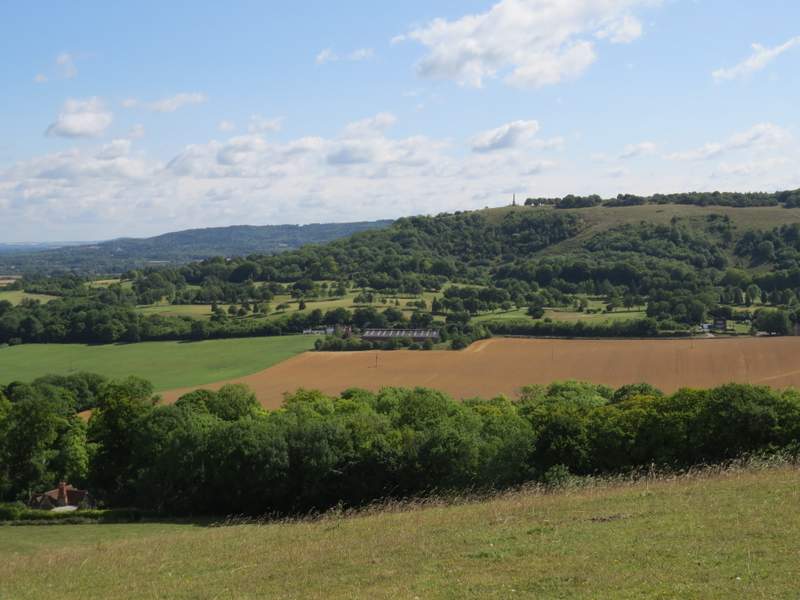
I crossed over and went a few yards right along the road, before turning left onto a footpath that crossed a very large wheat field. Beyond this, the path came to a track where I turned right and soon reached another road, opposite Ellesborough church. Just a few yards to my left, I turned left onto another footpath which crossed a large empty pasture (this seemed bigger and more uphill than I remembered). The footpath then continued steadily uphill through a large area of grassland, and headed round to the right of Beacon Hill. When I reached the highest point of the path (just when it became chalky and level), I turned left and followed a faint path that went almost straight up the steep slope of the hill. It steepened even more when it passed an old fence line, so that there were 'steps' worn into the hillside. But it wasn't too far, and at least when I got to the top I knew I'd already completed both the steepest downhill and the steepest uphill of the walk. I got my breath back as I admired the views out over the Vale of Aylesbury and back to Coombe Hill. There were the remains of a Bronze Age "Bowl Barrow" at this end of the hilltop.
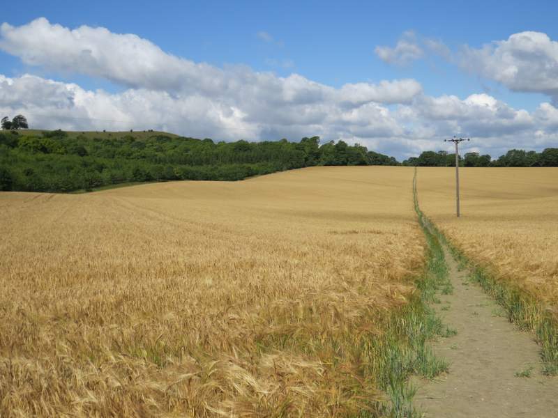
The path across the wheat field, Beacon Hill on the left
The path from near Ellesborough church, approaching Beacon Hill
The path heading round the western side of Beacon Hill
The steep path to the top of Beacon Hill - as usual my camera is lying, it's steeper than this makes it look!
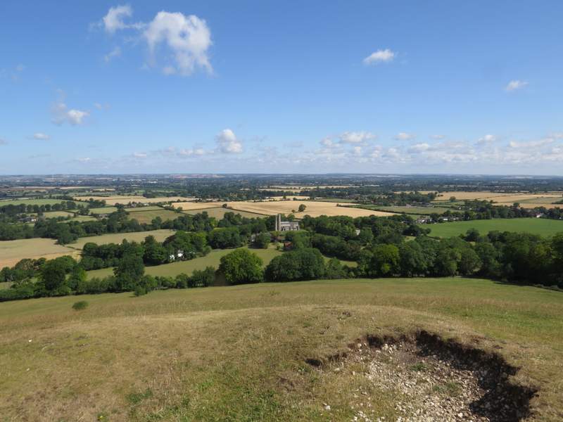
Looking back towards Ellesborough church and the Vale of Aylesbury from Beacon Hill
Looking back to Coombe Hill from Beacon Hill (you can just see the path I took through the wheat field on the right edge of the photo)
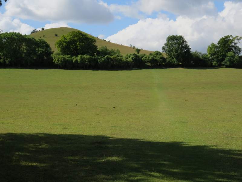
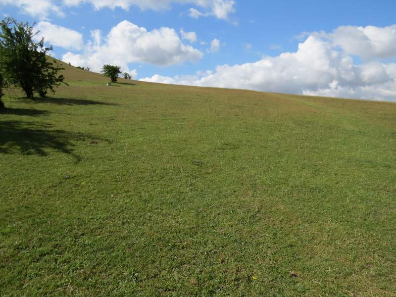
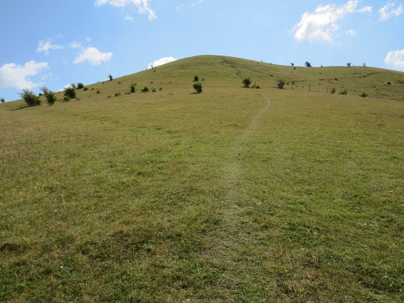
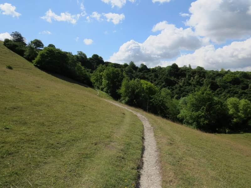
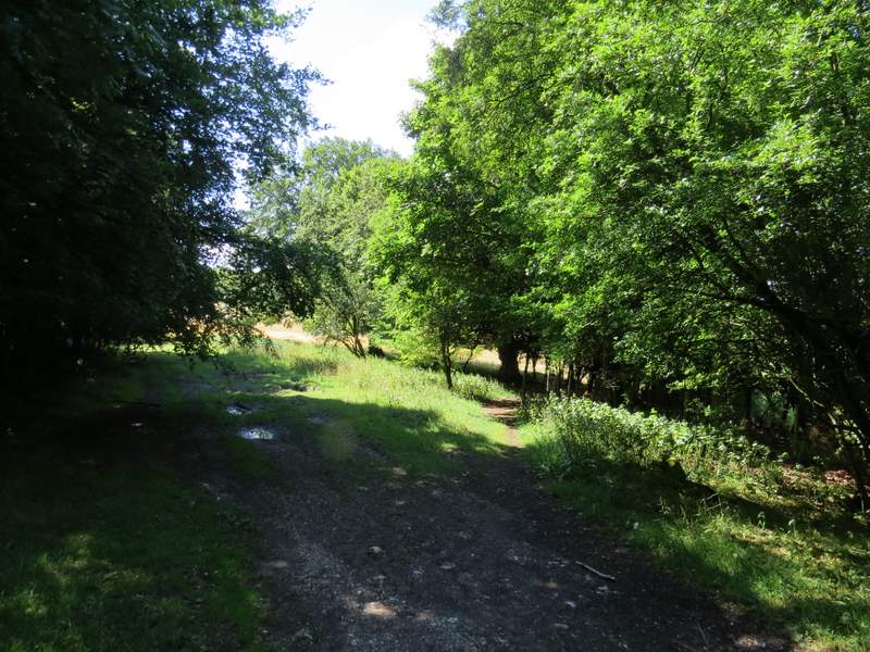
I turned right and walked along the top of Beacon Hill as far as some trees by a fence (and a security camera, this is close to Chequers). I then dropped a few yards down to my right and turned right along a narrow path descending very slowly across the hillside. This met the steep path that I'd taken up the hill somewhere near the old fence line (occasional wooden posts), where I turned left and retraced my steps back down to the footpath. I now turned left and followed the now level footpath towards Ellesborough Warren (I spotted a couple of Chalkhill Blue butterflies along here). The path continued through the trees and bushes of Ellesborough Warren, climbing some wooden 'steps' to reach an empty pasture or meadow. Across this I continued through a narrow strip of woodland and across a track or drive. I then forked right, to go through a few trees and along a fence (there was a corn field on my left, though this is more often a cattle pasture) to reach a gate. Through the gate I could simply have turned left along the fence, but instead went straight on a few yards up to the top of a slight rise (this was a long strip of chalk grassland, shown as an Open Access area on the OS map). I was glad I did, because I then saw at least a dozen Chalkhill Blues in the grass and flowers in front of me. I turned left and angled my way back across to the fence on my left, following it to a stile in a corner.
Back on the footpath round the side of Beacon Hill, continuing towards Ellesborough Warren
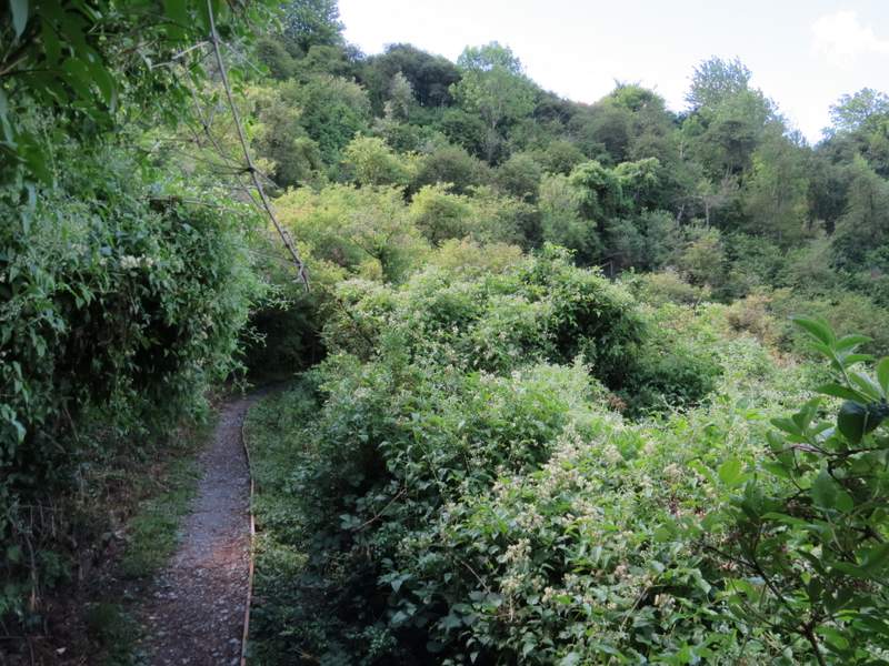
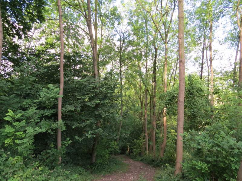
The path continuing through Ellesborough Warren
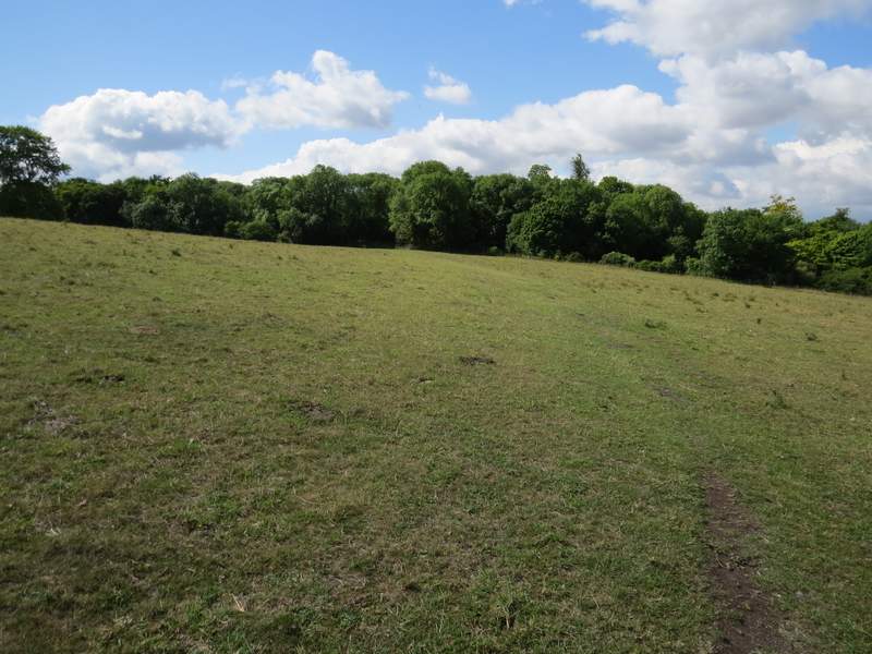
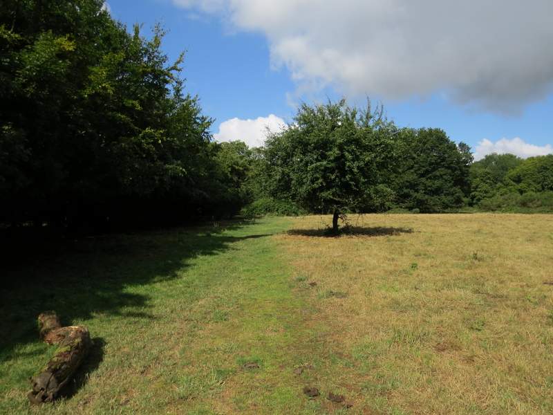
The meadow or pasture after Ellesborough Warren
I took the path forking right here ...
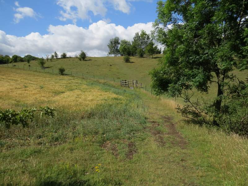
... which took me to this gate and the thin strip of open access land
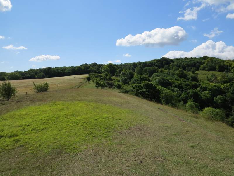
Looking along the thin strip of open access land