Pete's Walks- Maidensgrove, Ibstone, Middle Assendon (page 1 of 6)
If you are considering walking this route yourself, please see my disclaimer. You may also like to see these notes about the maps and GPX files.
Google map of the walkDownload GPX file of the walk
I did this circular walk of about 15 miles on Sunday, May 8th, 2016. It was basically a repeat of a walk I did just six weeks ago with three minor amendments. When I did that walk it was mainly on paths I'd walked many times before, but I used two paths I'd never walked before, and in another place I used a path I'd not walked for several years. In all three of these cases, though, I decided afterwards that the walk would be improved if I used a different path (even though they were ones I'd walked many times before). The route, as I did it six weeks ago, was very good indeed - with these three changes I thought it could possibly be the finest 12-15 mile walk I'd ever do in the Chilterns.
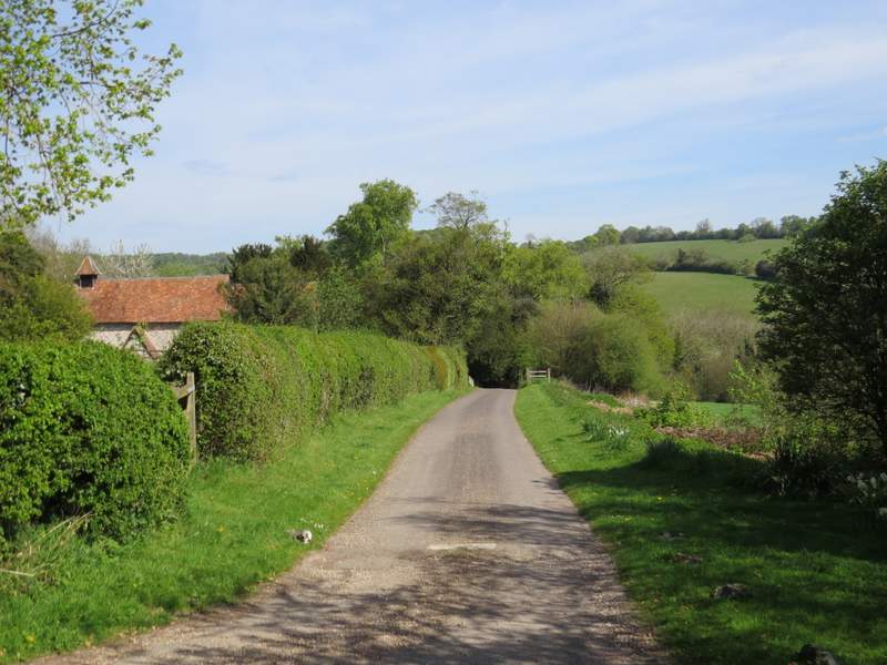
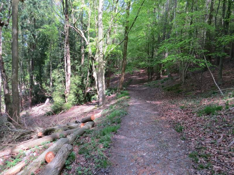
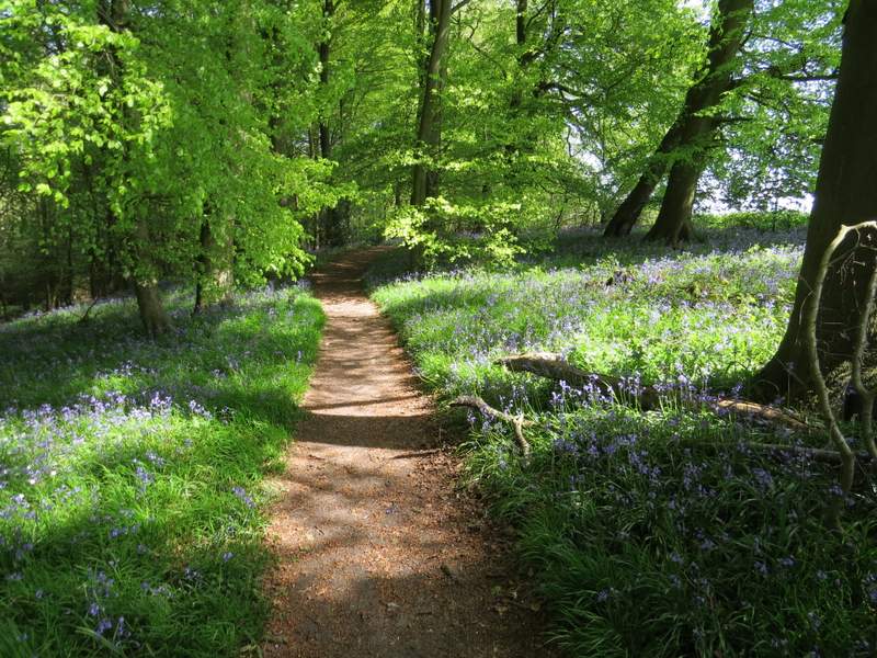
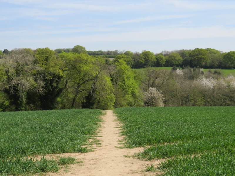
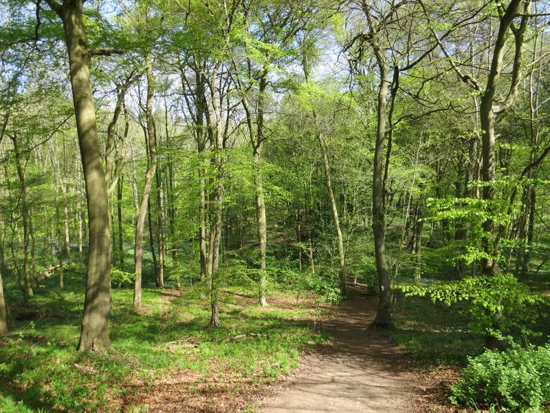
I parked on the lane that crosses Maidensgrove Common (grid reference SU 717886), just outside Maidensgrove itself and started walking about 9.50am (I'd managed to set off earlier than usual from home, though this involved sacrificing my usual second cup of coffee). It was an absolutely gorgeous day, already very warm with the temperature forecast to be around 24C. I followed the lane into Maidensgrove, ignoring a footpath going left to Maidensgrove Farm and then a little further on turning left onto a footpath along a drive (recently resurfaced) that soon passed a pond on my left. At the end of the drive, the path continued a few yards into a wood to reach a junction with a bridleway where I turned left. I soon came to a junction where a footpath went right, but I continued straight on along the bridleway (part of the Oxfordshire Way). The wood was mainly beech, with lots of Bluebells (which I'd see in many woods, hedgerows and other places throughout the walk). After a while the path started to drop very steeply down through the wood (I'm not sure if it was Pishillbury Wood or Doyley Wood here).
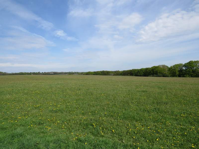
Maidensgrove Common
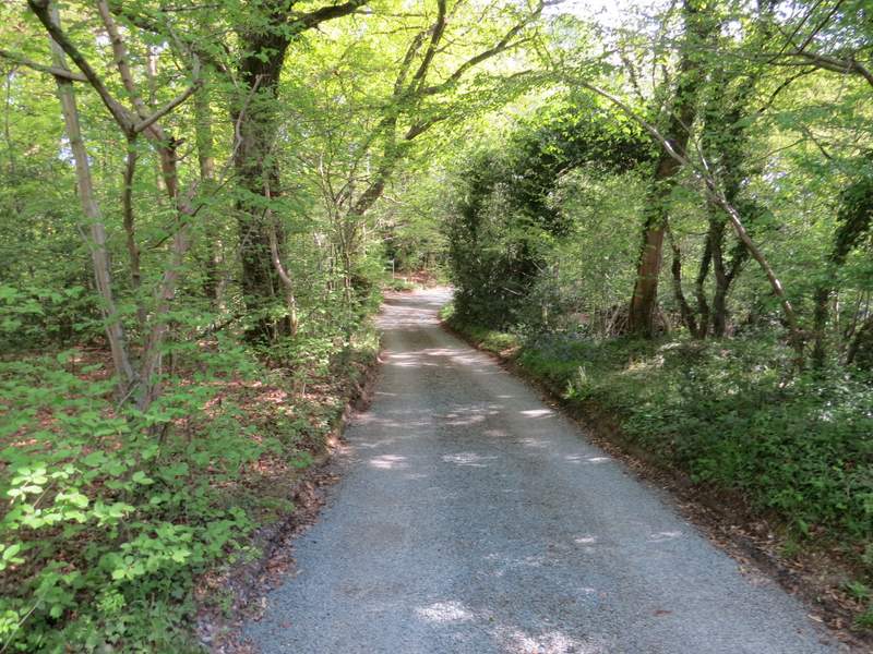
Near the start of the private drive, Maidensgrove
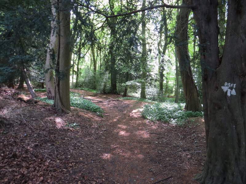
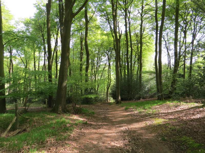
Pishillsbury Wood, where the path meets the bridleway and I turned left
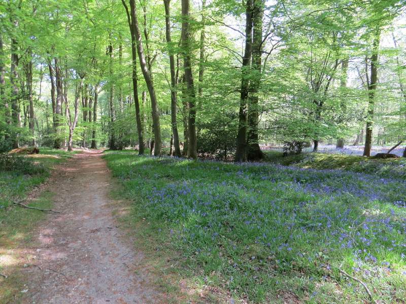
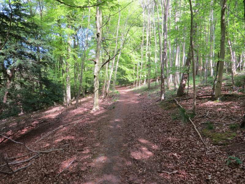
The bridleway through Pishillbury Wood
The bridleway through Pishillbury Wood
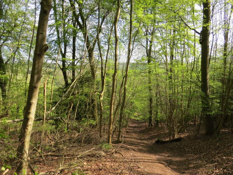
The bridleway through Pishillbury Wood
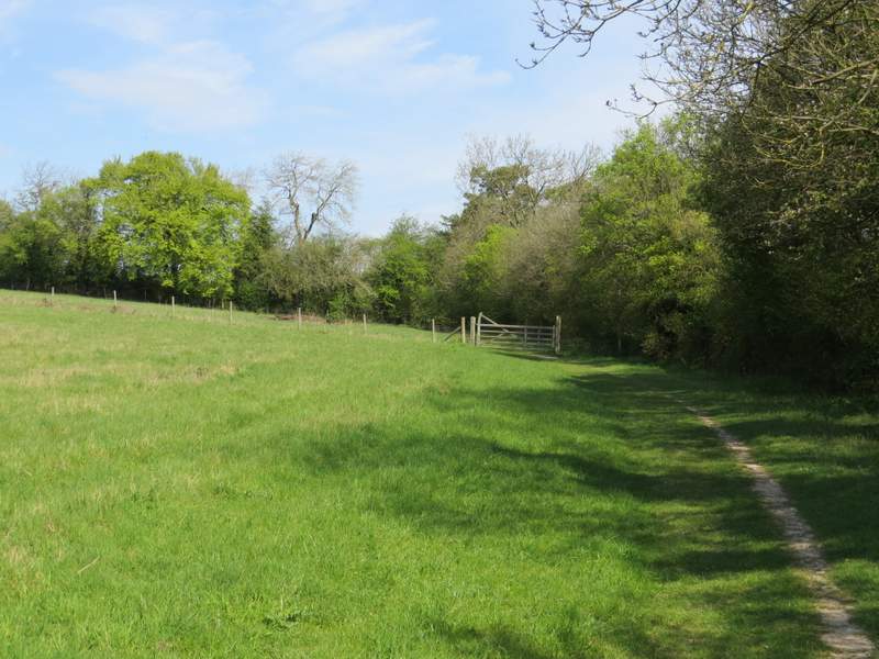
When the bridleway left the wood, it followed a mature hedgerow on my right though a very large meadow, descending a little further then rising up the other side of a small valley. I went through a couple of gates and came to a junction with another bridleway coming in from the left, the combined bridleways continuing down a drive and then a lane, soon reaching Pishill church, where I took my usual photo looking rightwards towards the deer park at Stonor (I'd take several looking back the other way, later on).
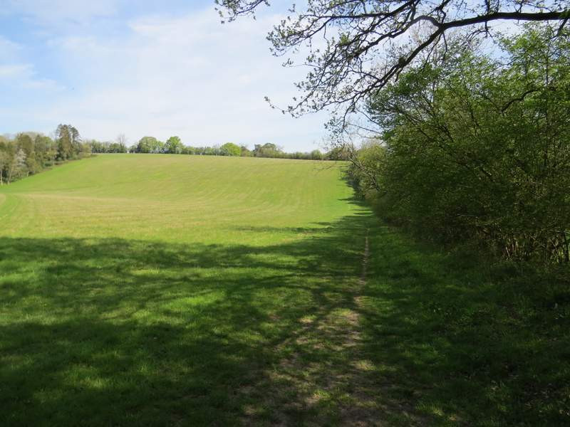
The bridleway continuing from Pishillbury Wood
The bridleway continuing from Pishillbury Wood, approaching Pishill
The lane past Pishill Church
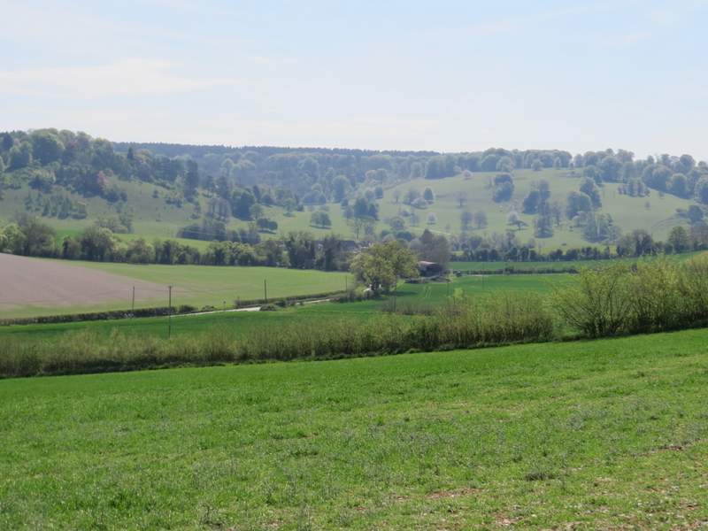
Looking right from outside Pishill Church, towards the deer park round Stonor House (where I would be later on in the walk)
At the end of the lane I turned right along a road for a short distance, then where the road turned right, I took a footpath on the left. The footpath followed a track along a small valley, with a fence on my right - six weeks ago I saw two Buzzards here and again now there was one flying over the wood on top of the slope on my left. The path took me to College Wood, where it soon turned slightly right and gradually went uphill, After a while it levelled out for a while, before turning right to reach the top of the slope, where it turned left to continue just inside the edge of the wood. At a path junction I turned right to go over a stile and leave the wood, now being briefly on the routes of both the Oxfordshire Way and the Chiltern Way.
The footpath from Pishill to College Wood
The path continuing through College Wood
The path continuing through College Wood
The path continuing through College Wood
The path continuing through College Wood
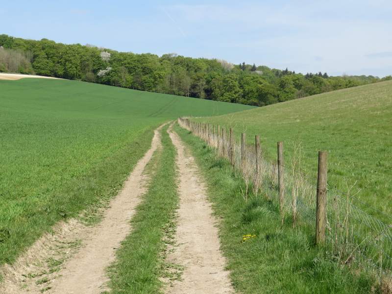
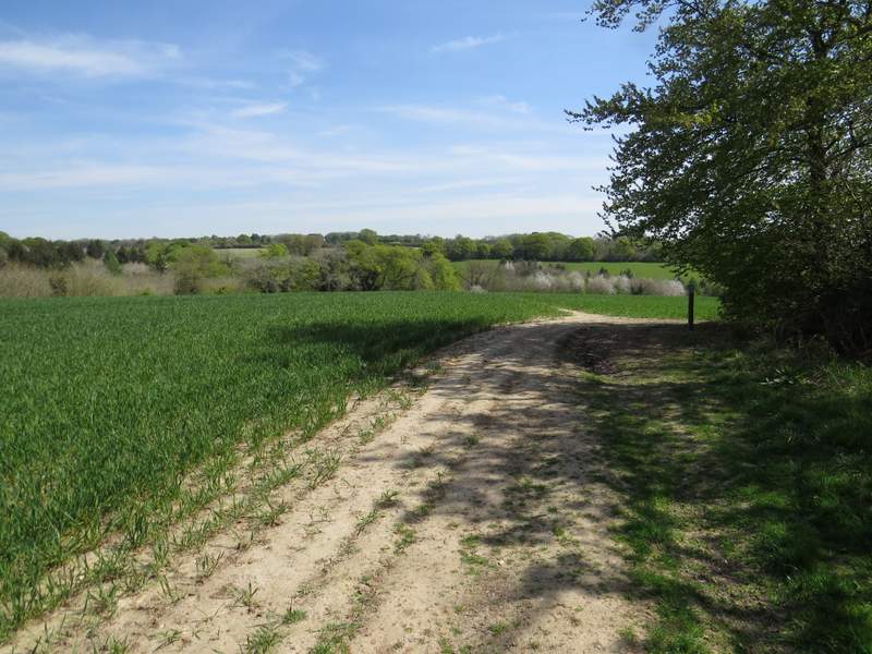
The path went through a meadow, close to its right edge, and then crossed a track called Hollandridge Lane (close to Hollandridge Farm, on my right). The path continued on through an arable field, soon curving left and dropping steeply downhill to reach Fire Wood. In the valley bottom I reached a junction of bridleways - the Oxfordshire way went left here, but I continued ahead along part of the Chiltern Way.
The footpath from Hollandridge Lane to Fire Wood
The footpath from Hollandridge Lane to Fire Wood
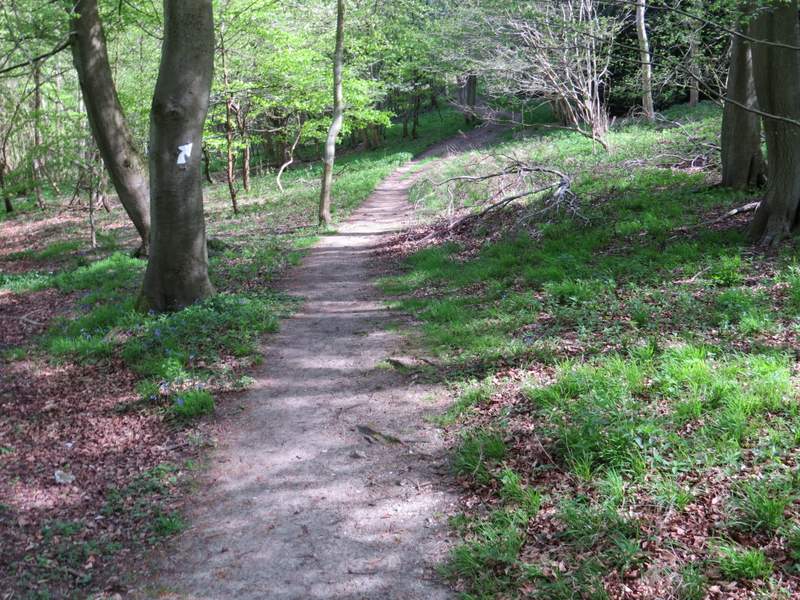
The footpath continuing downhill a short distance in Fire Wood
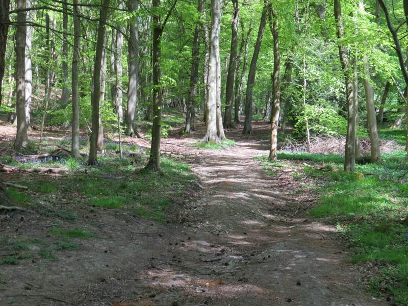
Near the start of the bridleway in Fire Wood