Pete's Walks- Maidensgrove Common, Ibstone, Middle Assendon (page 1 of 6)
If you are considering walking this route yourself, please see my disclaimer. You may also like to see these notes about the maps and GPX files.
I did this circular walk of about 15 miles on Saturday, 30th October 2016. It was a repeat of a walk I did in May this year, which in turn was a slightly modified version of a walk I did in March this year. I don't normally walk the same route three times in just over seven months, but this is quite possibly the best 15-mile route I have found in the Chilterns and I wanted to walk it when the Autumn leaves are almost at their most colourful (they're not yet quite at their best, but I couldn't leave it any longer as the clocks were going back and I would then struggle to finish the walk before it got dark).
When I originally devised this route, I included a few paths I'd not walked before. After (or even as) I walked it, I realised that if I replaced those new paths with some more familiar ones (all of which were amongst my favourite Chiltern footpaths) the route would be improved from being a very good one to an excellent one (IMHO). Unfortunately, when I walked the improved route in May, it was such an unseasonably hot day (27C) I was a little too exhausted to enjoy it as much as I should. And, unfortunately again, the weather spoiled my enjoyment of the route this time as well - the forecast said it would be grey but dry, but it was misty or drizzly all morning - it was so damp as I walked along the edge of Ibstone Common that I was seriously considering how to shorten the walk and finish as soon as possible.
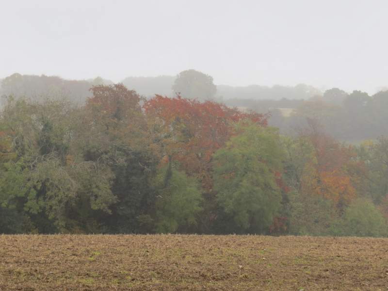
I parked on the lane that crosses Maidensgrove Common (grid reference SU 717886), just outside Maidensgrove itself and started walking about 10.20am. I followed the lane eastwards into Maidensgrove, and where a lane came in on the right I turned left along a private road or drive, soon passing a pond on my left. At the end of the private road a short footpath led into a wood, where I soon turned left along a bridleway (part of the Oxfordshire Way) - the OS map shows the path crossing the bridleway, but actually if you wanted to follow the path you'd have to follow the bridleway left for about a hundred yards then turn right. But today I stayed on the bridleway, following it along what the OS map shows must be the boundary between Doyley Wood, on my left, and Pishillbury Wood on my right. Several mountain bikers passed me here, obviously on an organised bike ride. The bridleway dropped steeply downhill through the woods, then continued beside a tall hedgerow on my right through a very large meadow - after descending gently a little further, it was a longer and steeper climb back up than I remembered, steep enough for one of the mountain bikers that passed me to have to dismount and push his bike for a few yards. Beyond this meadow the bridleway merged with another one and joined a drive that became a short lane, passing Pishill church on my left. Sadly, the usual fine view from here towards the deer park at Stonor was lost somewhere in the mist (yet again I was cursing the weathermen at the BBC for getting it so badly wrong!).
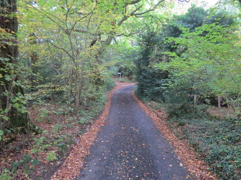
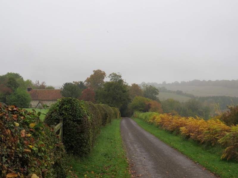
The private road at Maidensgrove
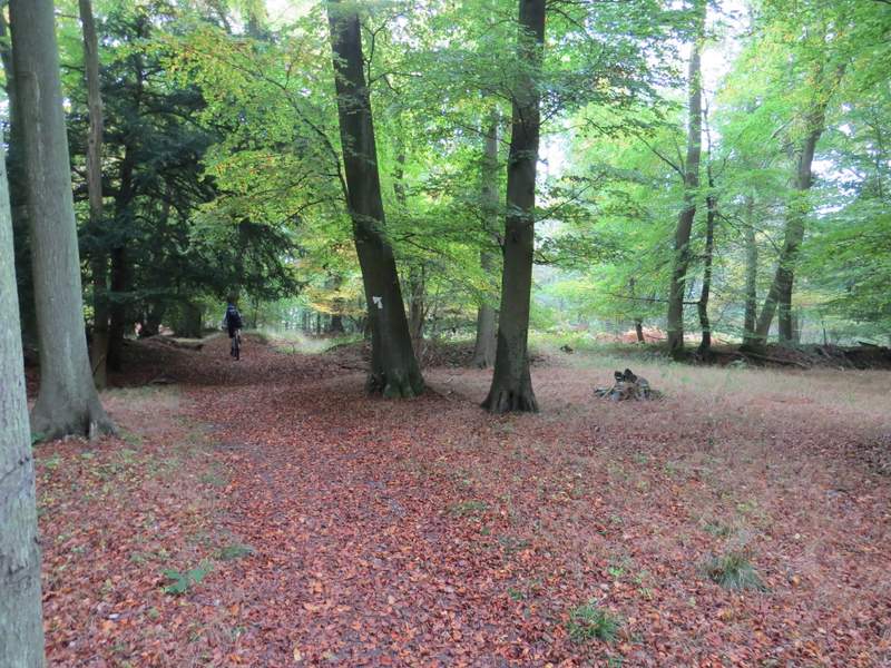
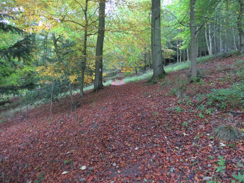
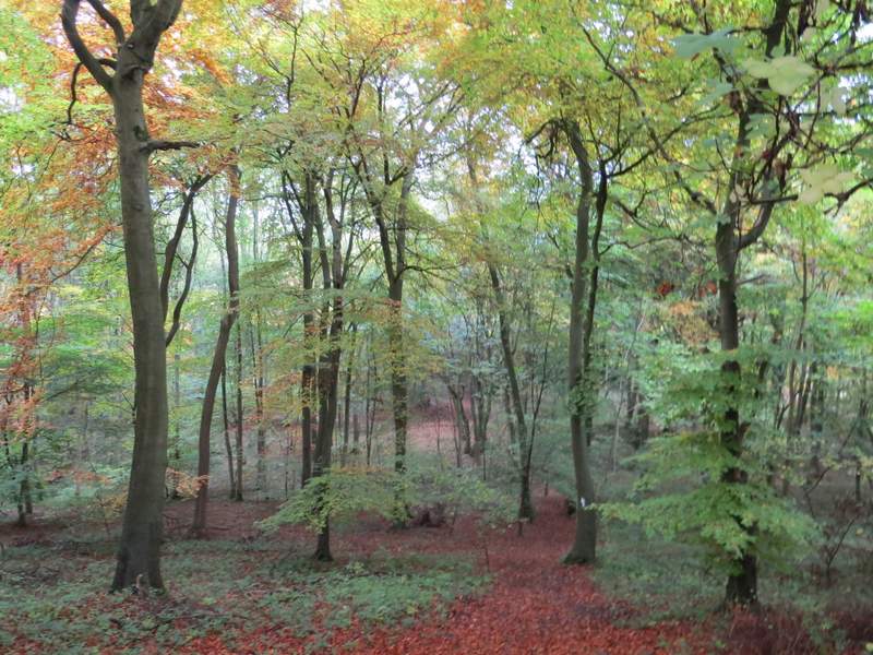
The bridleway through Pishillbury Wood
The bridleway through Pishillbury Wood
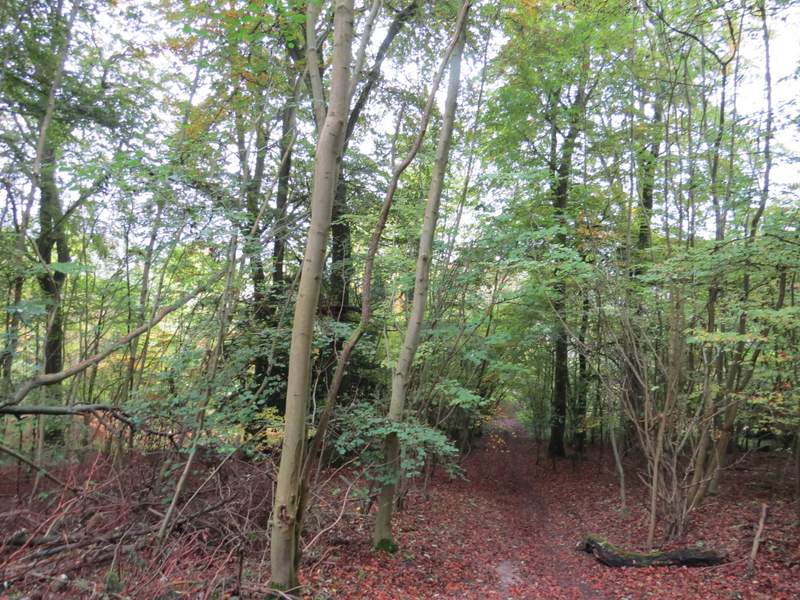
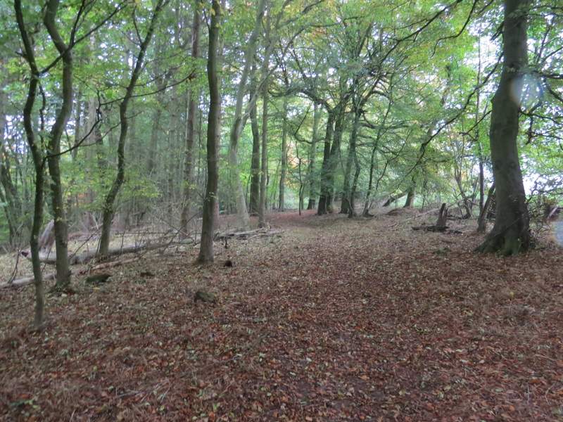
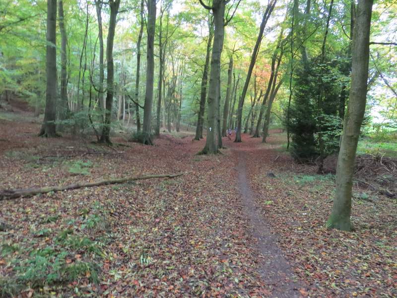
The bridleway continuing from Pishillbury Wood
The lane past Pishill church
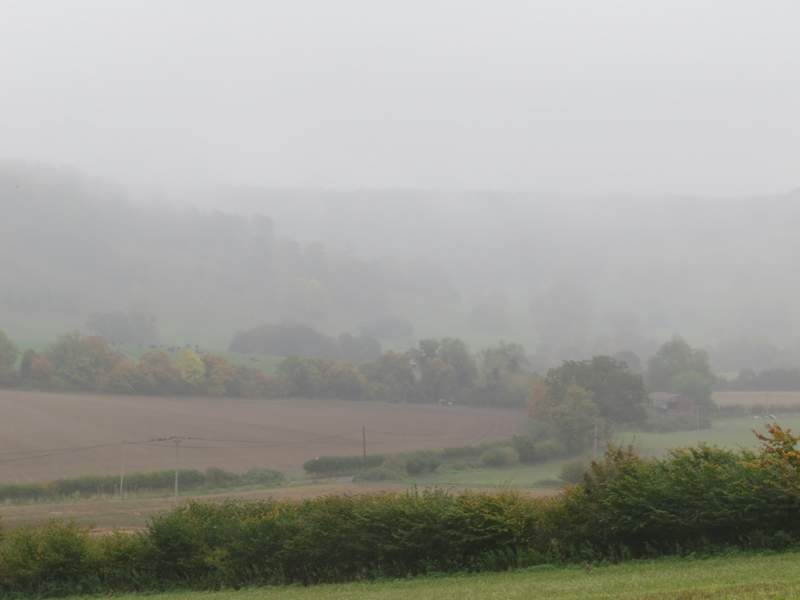
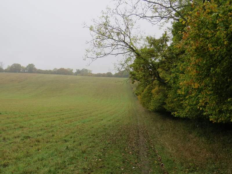
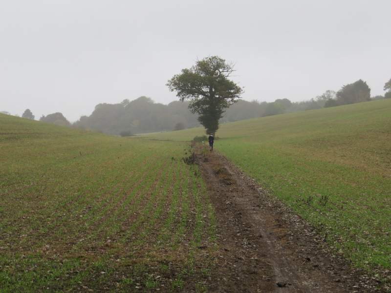
Misty view towards Stonor Park, where I'd be in a few hours time
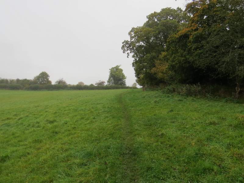
I turned right at the end of the lane, but only for a hundred yards or so before turning left onto a footpath where the road turned right. As I did so, I left the route of the bike ride (more cyclists had passed me along the lane) though I correctly guessed I'd meet them again sooner or later. After passing a couple of cottages, the path led along a valley bottom for about half a mile (following a fence on my right) until it reached College Wood. Just inside the wood it turned slightly right and headed steadily uphill. it levelled out for a while, then there was a steep section of just a few yards, before the path levelled out and ran close to the edge of the wood on my right. On finally reaching a path junction, I turned right and immediately left the wood at a stile (I was still following the Oxfordshire Way and was now on the route of the Chiltern Way as well). The path continued across a meadow to reach Hollandridge Lane, a track, close to Hollandridge Farm.
The path from Pishill to College Wood
The path continuing through College Wood
The path continuing through College Wood
The path continuing through College Wood
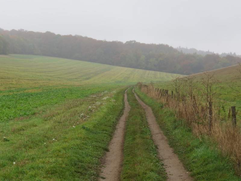
The path between College Wood and Hollandridge Lane
Across the track the path continued, initially close to trees on my right, then going slightly left across a field and descending to reach Fire Wood. It continued a short way down through the wood, and in the valley bottom I came to a crossroads. The Oxfordshire Way went left here, but I followed the Chiltern Way straight on, now back on the route of the bike ride as I met several cyclists coming the other way. Beyond Fire Wood, I followed the bridleway along a small valley for several hundred yards, before turning right when I reached the corner of a hedgerow (officially the path should have started a few yards earlier and cut half-right across the field). After a while the path went through a gate and continued between fences, passing a property on my left. Beyond this, I went straight on over a small bit of common to reach the road through Northend (the hamlet is so named because it is at the north end of the parish of Turville - I'd visit Southend later on during the walk, named for a similar reason).
The path between Hollandridge Lane and Fire Wood
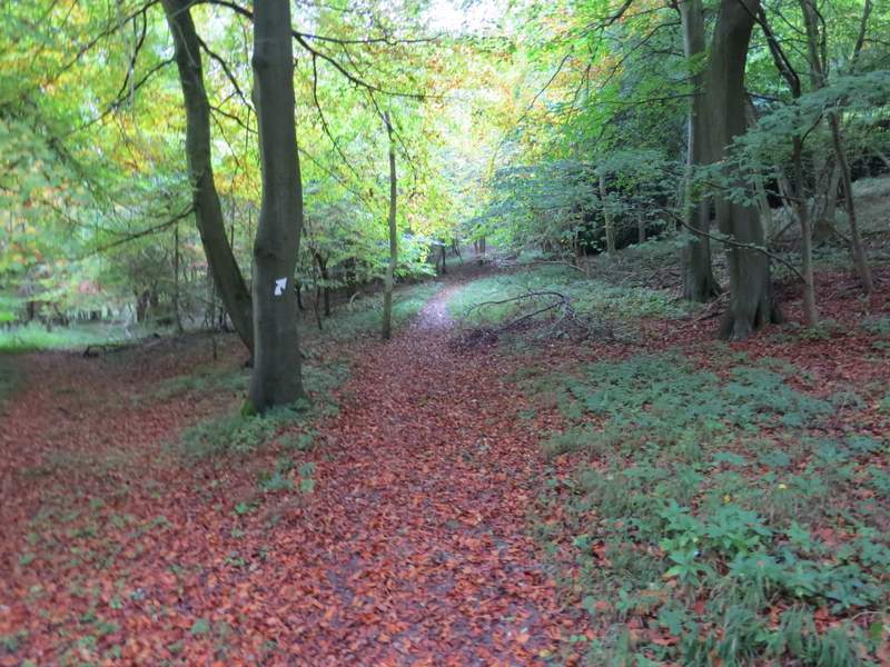
The path continuing through Fire Wood
The bridleway through Fire Wood
The bridleway continuing from Fire Wood