Pete's Walks- Little Missenden, Hodgemoor Woods, Misbourne Valley (page 2 of 6)
If you are considering walking this route yourself, please see my disclaimer. You may also like to see these notes about the maps and GPX files.
I carefully crossed the A404 and entered Penn Wood. After a few yards I turned left onto a crossing footpath, rejoining the route I followed last May which I would now follow to just beyond Coleshill. The path was surfaced with gravel, and it was very pleasant to follow it through the attractive woodland. The path turned right at one point, then I kept straight on where another path forked half-right. I passed Penn Street Church on my left, and then came to a path T-junction. I turned left, passing in front of the church gate and then following the path through a tunnel of holly and rhododendrons to reach a road in Penn Street.
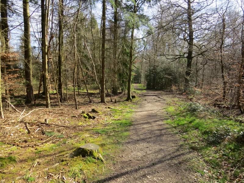
The path through Penn Wood
The path through Penn Wood
The path through Penn Wood
Penn Street church
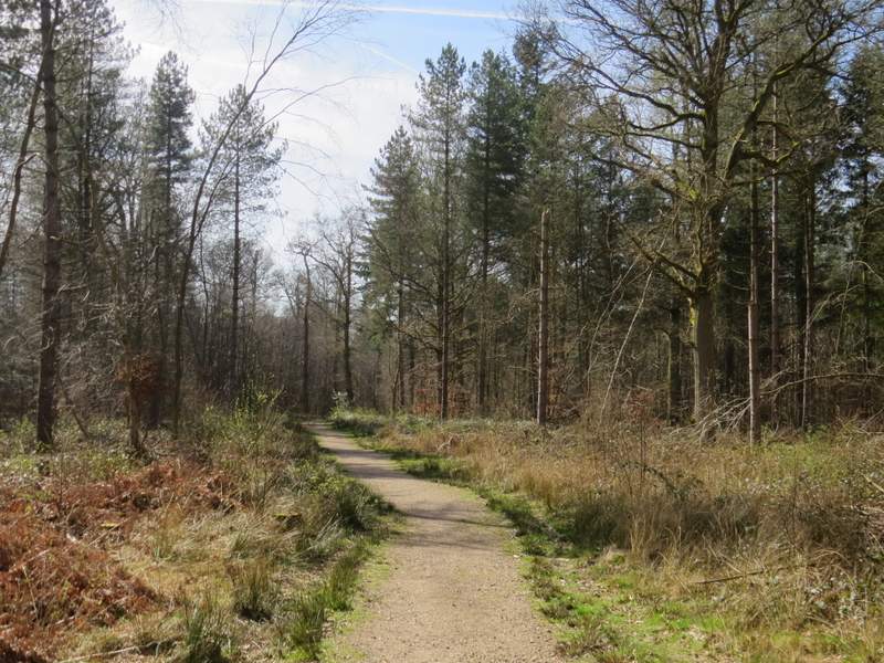
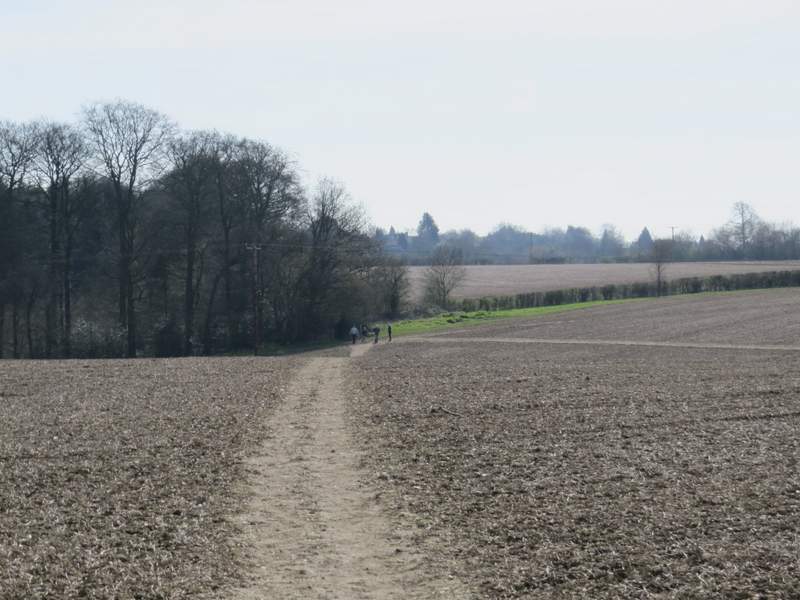
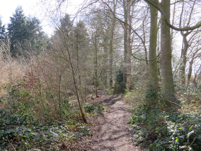
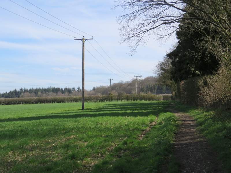
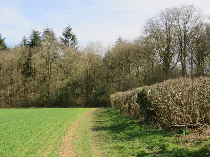
A few yards to the right a path started on the other side of the road. After passing between gardens it continued ahead a few yards beside a hedge on my left (I spotted my first Small Tortoiseshell butterfly of 2017 here), then turned right across part of a ploughed field. It continued beside a hedge on my right as far as a path junction, where I turned half-left and crossed the field to reach a corner of Priestland's Wood. The path continued just inside the wood (there was some shooting going on over to my left), which at some point became Tragoe's Plantation. The path next crossed another ploughed field, and then ran between hedgerows (with allotments over the hedge to my right) to reach a street on the edge of Winchmore Hill. I crossed over and went straight on across a grass area, then continued beside a road with a sports field on the other side.
The path from Penn Street to Priestland's Wood
The path through Priestland's Wood
The path continuing from Tragoe's Plantation towards Winchmore Hill
Approaching Winchmore Hill

Winchmore Hill
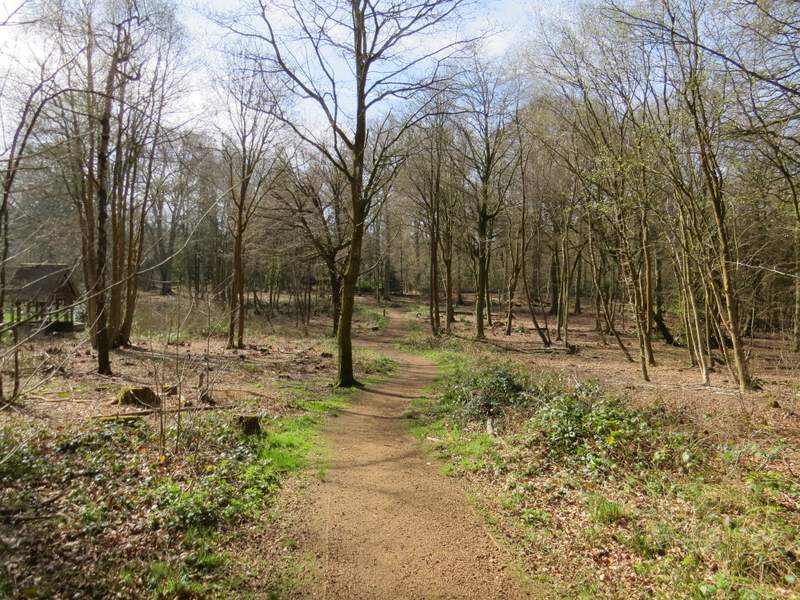
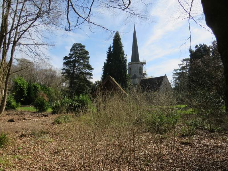
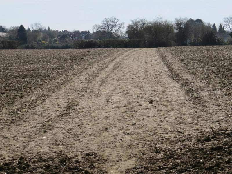
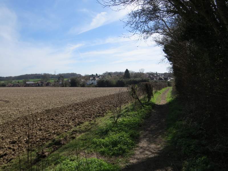
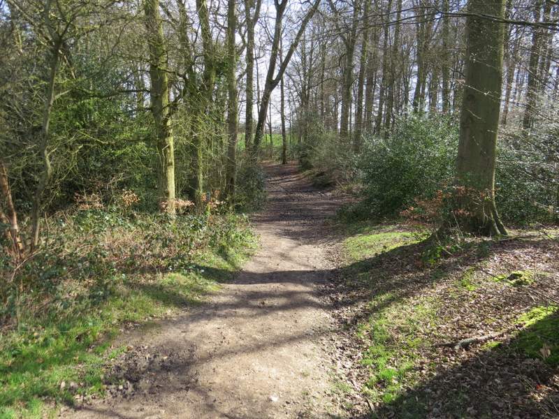
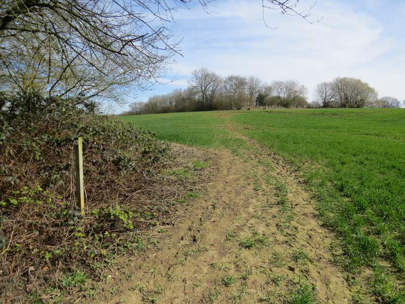
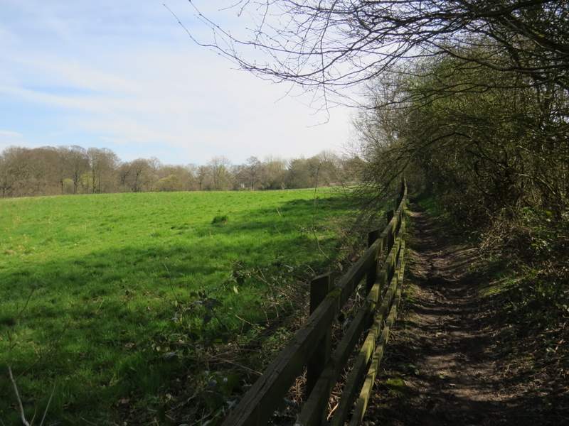
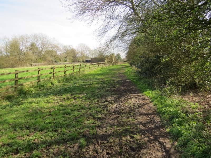
On reaching a road junction I turned left, then after a hundred yards or so, when I reached a chapel on the left, I took a footpath on the right. This soon left the village and continued beside a hedgerow on my right through two fields to reach a narrow bit of wood (partly Coleshill Larches and partly West Wood, according to the OS map). Beyond the woodland the path continued through an arable field (this is always very muddy, especially just after the wood), passing a small copse on the left and then turning slightly left to reach a stile or gate. The path continued between a fence and a hedge (again this is usually very muddy in places) and then followed a gravel drive to reach a street in Coleshill. I crossed over and continued down a short path with the village church on my left to reach a second street.

The path leaving Winchmore Hill, from opposite the chapel
The path continuing from Winchmore Hill
Approaching Coleshill Larches
The path continuing through Coleshill Larches and West Wood
The path continuing towards Coleshill
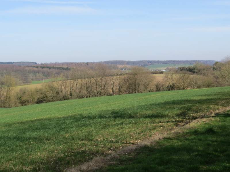
View left towards the Misbourne Valley
The path continuing towards Coleshill
The path continuing towards Coleshill
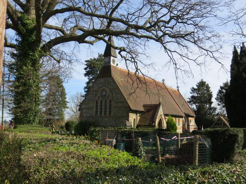
Coleshill church