Pete's Walks - Shortened version of Ashridge Estate Boundary Trail (page 1 of 5)
If you are considering walking this route yourself, please see my disclaimer. You may also like to see these notes about the maps and GPX files.
I did this circular walk of about 12.9 miles on Sunday, 11th August 2019. It was a shortened version of the 16-mile Ashridge Estate Boundary Trail which I've walked many times before - I did the same shortened version last June. I again followed the route anti-clockwise, and the reason I shortened it was because of threatened heavy showers towards the end of the afternoon (last year I shortened it because it was a very hot day, which just about sums up the difference between this very average summer and last year's wonderful summer).
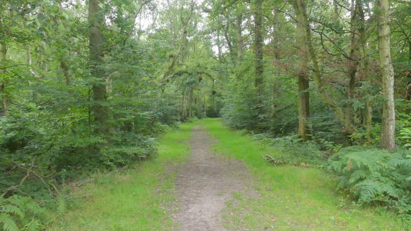
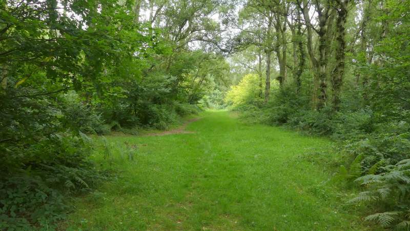
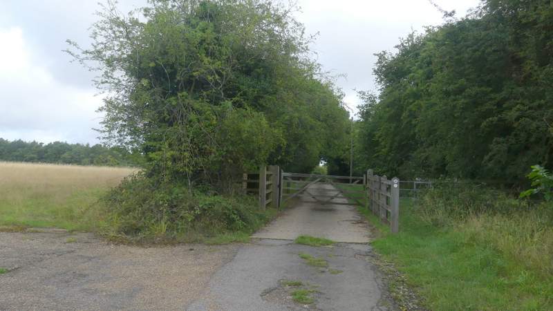
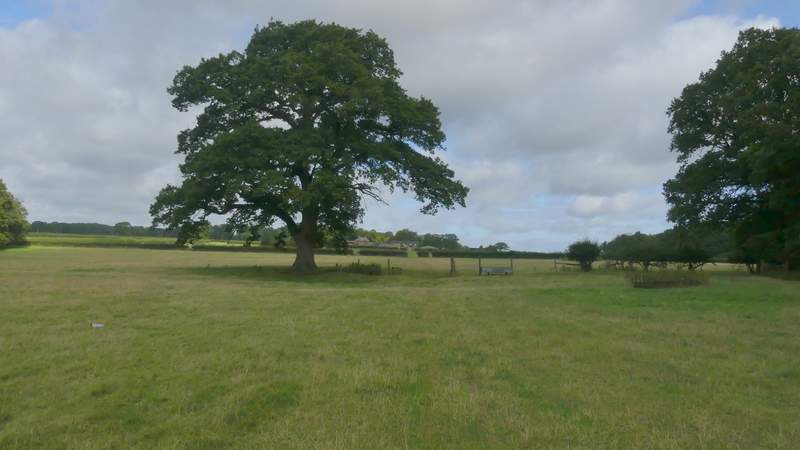
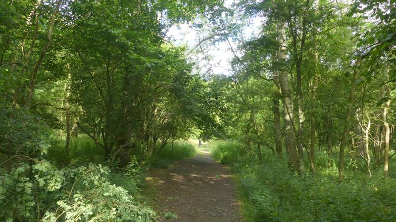
I parked at Ashridge, in the small car park a few hundred yards south of Ringshall (grid reference SP 983137), and started walking at roughly 8.45am (I wanted an early start to make sure I avoided those predicted showers later on). I followed the broad path from the car park through the woods of Ashridge, going straight on at a path crossroads, then turning right at the next path crossroads. About a hundred yards down this I turned left, then after another one or two hundred yards I turned right, with a larger car park now close by on my left. This path soon brought me to a road on the edge of Ringshall (to my right).
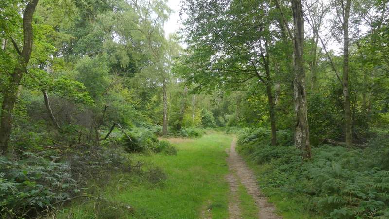
The path going northwest from the car park near Ringshall
The path after I turned right (SECOND path on the right)
The path after I turned left
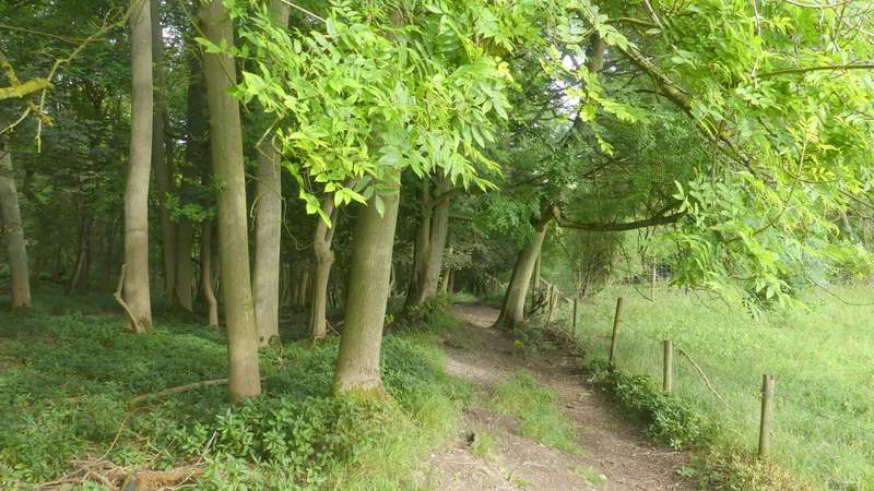
The path after I turned right, close to a car park on my left
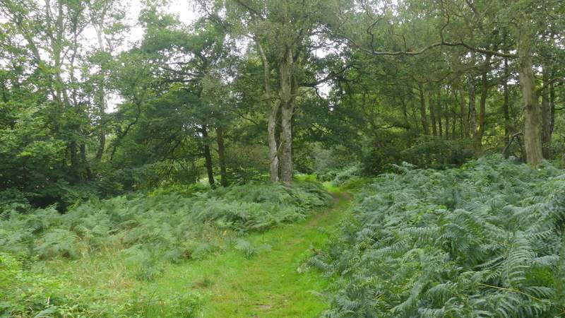
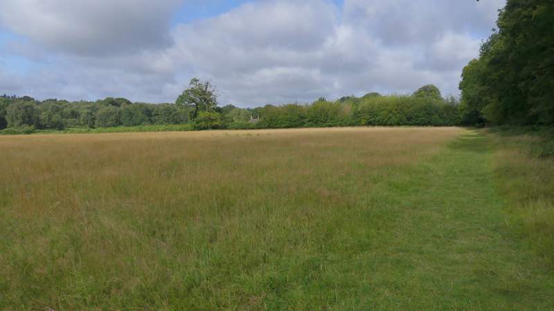
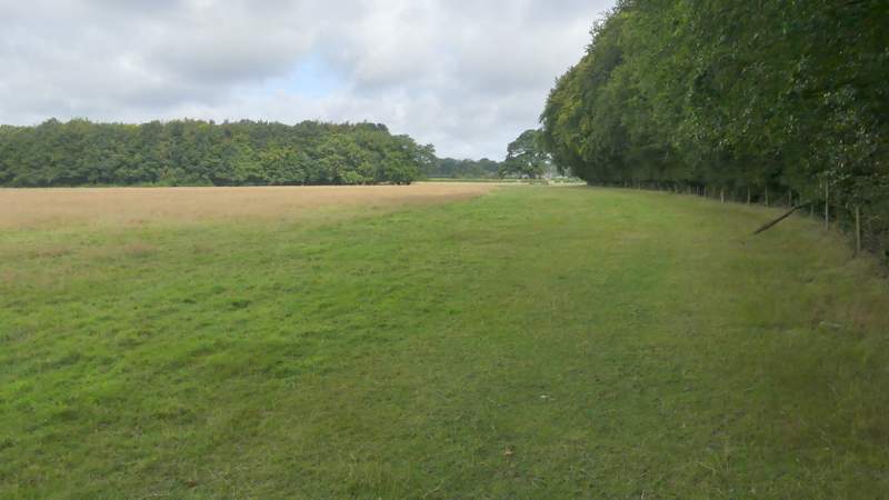
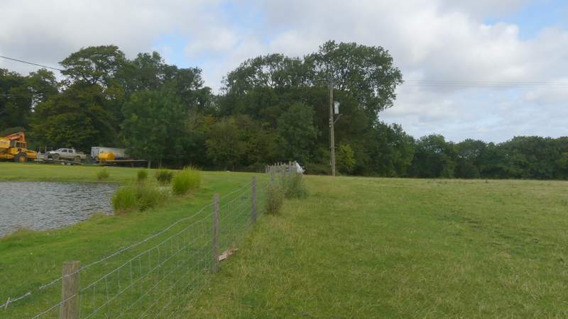
Across the road a path continued down a drive, passing a couple of cottages, and then turning left behind a small reservoir. The path then ran between fences with Ringshall Coppice on my right. One section was like a 'green tunnel', now that the hedge on the left has grown. Further on the path went through a gate into a large pasture, where the path moved slightly left, away from the wood as it crossed the pasture, then continued across two more sheep pastures to reach Ward's Hurst Farm.
The path along the drive on the edge of Ringshall, after I crossed the road
The path shortly after it turned left behind a small reservoir
Further along the path to Ward's Hurst Farm
The path to Ward's Hurst Farm
The path to Ward's Hurst Farm
Approaching Ward's Hurst Farm
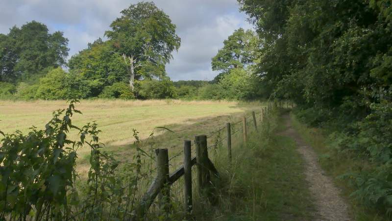
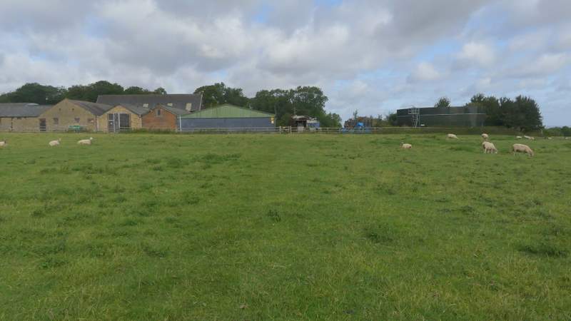
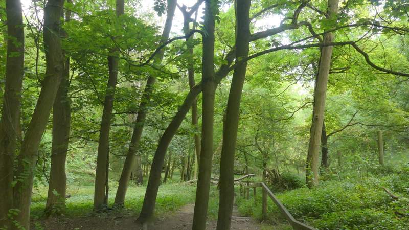
The clearly waymarked path continued straight on through the yard of Ward's Hurst Farm, then went through a gate and followed the left edge of another sheep pasture a short distance to reach a wood (the only name on the OS Map is The Coombe). The path, part of the Icknield Way, then dropped down a steep flight of wooden steps, where I spotted a Muntjac. At the foot of the steps, the path continued on, soon entering a coniferous section of the wood, with the trees planted in straight lines. The path soon switched from the right of one line of trees to the left, then twice went half-left through two or three rows of trees before turning right along another gap between two rows of trees. On the other side of the conifers the path continued through the wood for about a quarter of a mile.
The path continuing from Ward's Hurst Farm
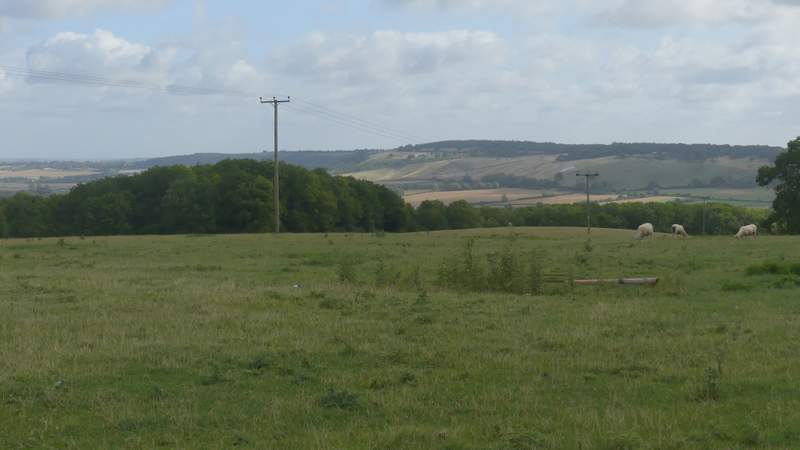
View from near Ward's Hurst Farm
The path entering The Coombe
The path descending the steps in The Coombe
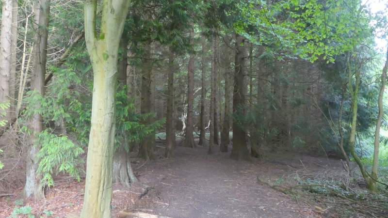
The path continuing through The Coombe (entering the Conifers)
The path continuing through The Coombe
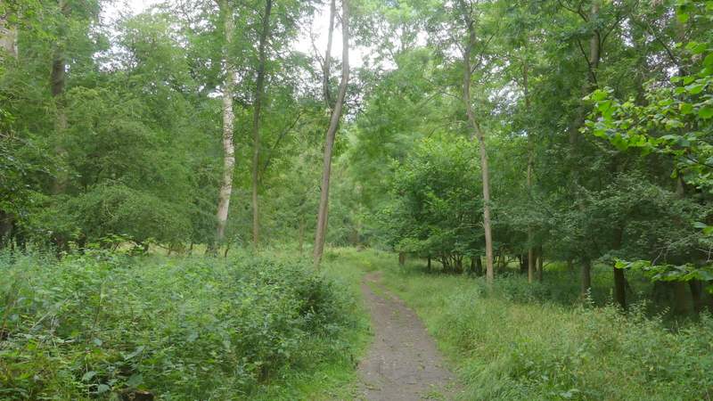
The path continuing through The Coombe