Pete's Walks - Cholesbury, Ashley Green, Marlin Chapel (page 1 of 3)
If you are considering walking this route yourself, please see my disclaimer. You may also like to see these notes about the maps and GPX files.
Google map of the walkDownload GPX file of the walk
I did this circular walk of about 9.5 miles on Saturday, 29th October, 2011. Click here to see a map of the walk (but only if you have already read my disclaimer and notes regarding maps).
I did this walk on Saturday, 3rd December 2022. It was a repeat of a walk I did in October 2011. which was a much shortened version of the Buckland Common and Ashley Green walk I did in May 2010, with a couple of variations.
I started walking about 11am, from the car park by the cricket pitch on Cholesbury Common (Grid Reference SP933071). I went a short distance eastwards along the minor road here, passing the cricket pitch on my left, then (near a junction with a road called Ray's Hill) cut half-left across the common and downhill (through a clear gap in the trees) to join the footpath along the northern edge of the common, where I turned right to head eastwards. After a few hundred yards I came to a lane, where I went a few yards left and then took a path on the other side that continued along the valley but now going south-east. After a while the path became a drive, which then merged with a lane, which led on to some cottages and Vale Farm. By a lane junction I took a footpath on the right, which rose a short distance through the trees of the common to return to the minor road I'd started on.
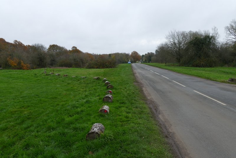
The road through Cholesbury and Hawridge
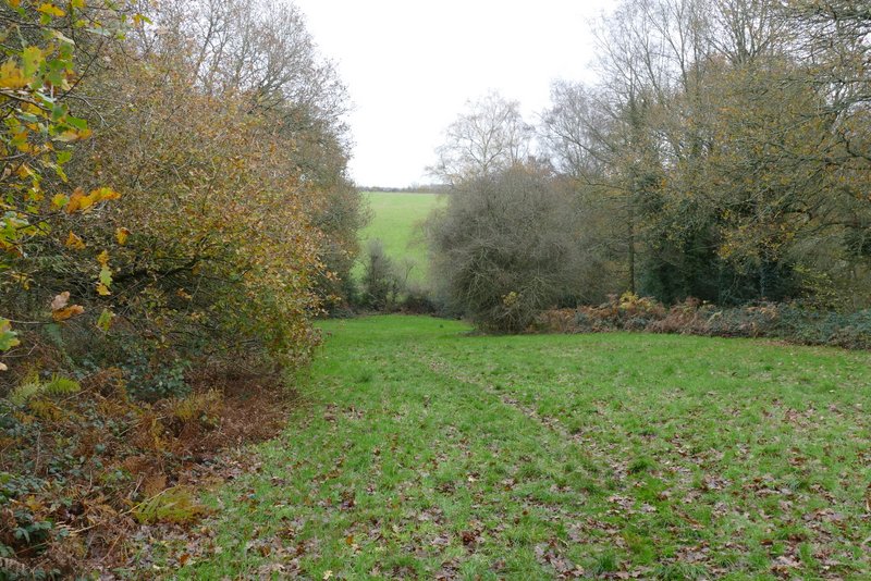
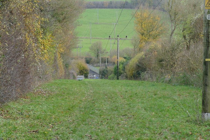
The path dropping downhill through Cholesbury Common
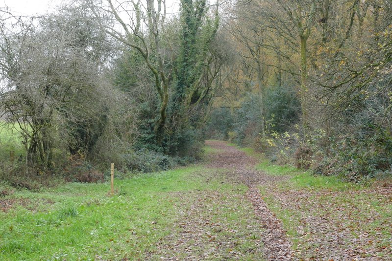
The path going eastwards along the northern edge of Cholesbury Common
The path going eastwards along the northern edge of Cholesbury Common
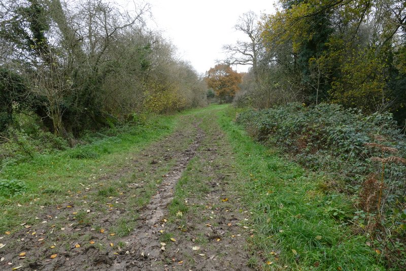
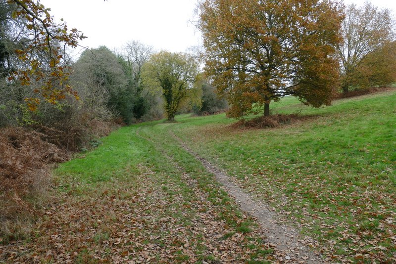
The path after I crossed a lane, now going southeast through Hawridge Common
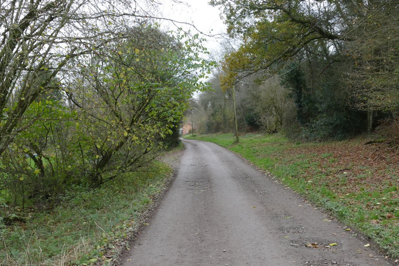
The same path, now on the drive continuing towards Vale Farm
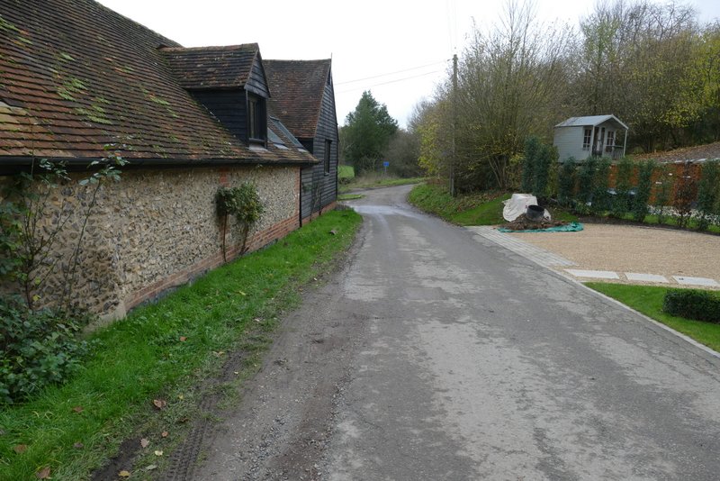
The lane passing Vale Farm, approaching the lane junction
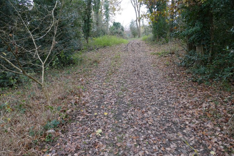
The path heading back to the Cholesbury-Hawridge road
On the other side of the road a short lane led on to Hawridge Church. Beyond the church a short path led right, past Hawridge Court, and then I turned left on a path through a meadow. I was now heading southeast again, the path continuing for about a mile through a second meadow and then two large arable fields. The path then turned left on the far side of a hedgerow, before turning right in the next field corner. At the end of the field I then came to a path junction (near what used to be an Ostrich farm!), where I followed a path left past Bower Farm.
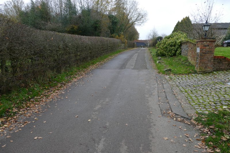
The lane to Hawridge church
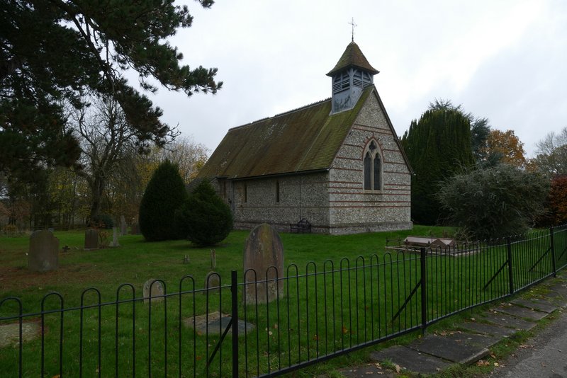
Hawridge church
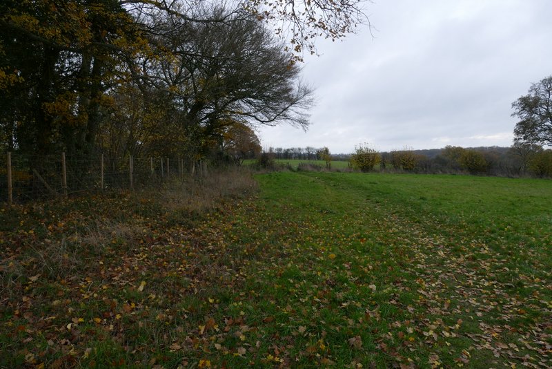
The path going southeast from near Hawridge church
The path going southeast from near Hawridge church
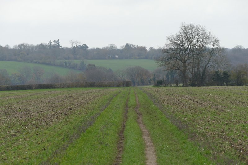
The path going southeast from near Hawridge church
The path going southeast from near Hawridge church
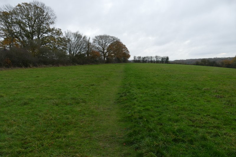
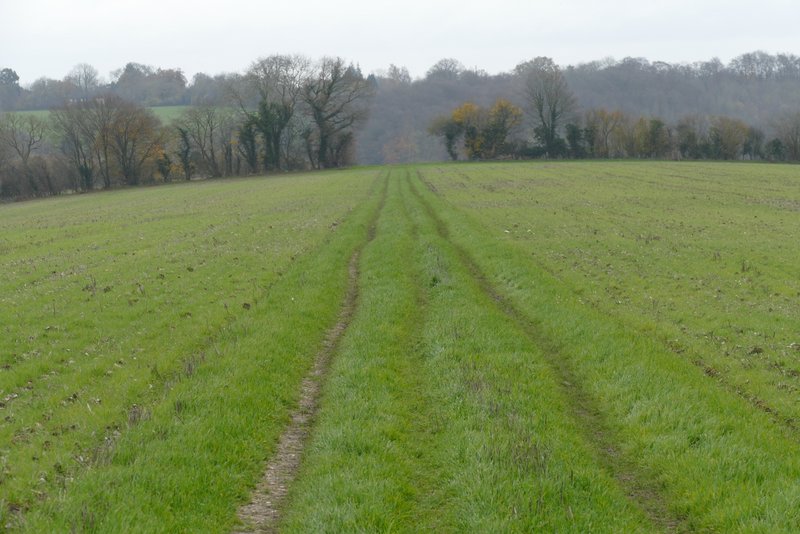
The path going southeast from near Hawridge church, after it turns left (it turns right in the field corner)
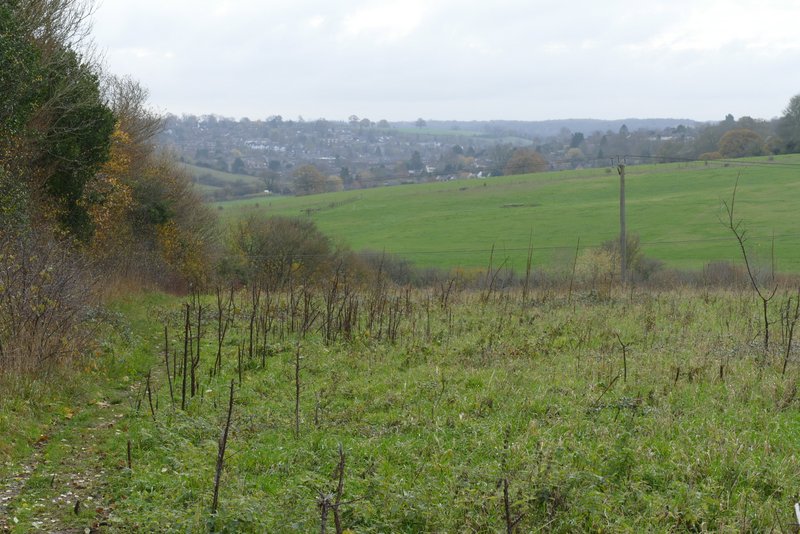
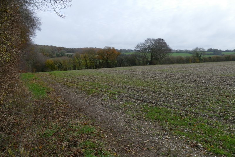
The path continuing southeast towards Chesham Vale
The path past Bower Farm