Pete's Walks - STevenage Outer Orbital Path (STOOP)
If you are considering walking this route yourself, please see my disclaimer. You may also like to see these notes about the maps and GPX files.
Day 2 27/08/09 Walkern to Mardley Heath (6.5 miles each way, approximately)
Parked at Mardley Heath.
There was nowhere obvious to park near the end of the previous walk at Walkern, so I chose to use the car park shown on the OS map at Mardley Heath, just off the route of the STOOP, and did the walk the 'wrong way round' - first walking the 6.7 miles along the route to Walkern, then turning round and coming back. As usual in such circumstances, I will describe the route as I returned from Walkern to Mardley Heath, so that this journal entry continues in the same direction as my other walks on the STOOP.
I had no difficulty following the STOOP back to Walkern, it was well waymarked and easy to follow from where I'd marked the route on my OS maps. When I reached the ford near Aston End I met a couple of walkers, who were not only the wardens for that stretch of the STOOP, but the lady had written the route directions and the gentleman had helped plan the route! I'm sorry that I forgot to get their names - I mentioned this site to them, so maybe they'll be in touch. We had a good chat for several minutes, mainly about the STOOP obviously, but they also mentioned having walked the Cumbria Way - like me, their party had done it north to south, and we all agreed that that was a far better way of doing it as in the normal direction the last day into Carlisle must be a real anticlimax. I had already caught up with and chatted to another walker near Astonbury, so this was a remarkably sociable walk by my standards! That walker had just been through Bramfield Woods, which I remember affectionately from the Hertfordshire Chain Walk.
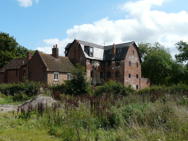
[1] Mill on the edge of Walkern, now apartments I think
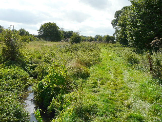
[2] Path beside the river Beane, just south of Walkern
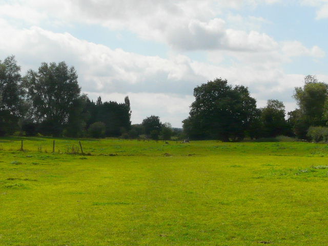
[3] The path just south of Walkern
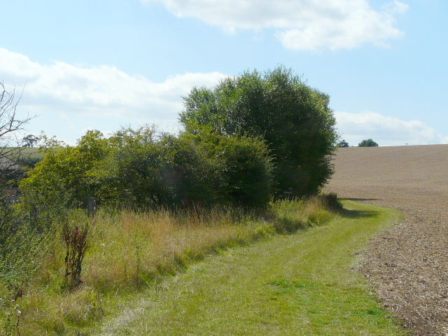
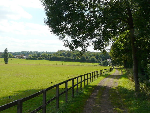
It had been dull and overcast at breakfast time, but as forecast the clouds had gradually broken up and it was quite bright and sunny by the time I turned round on the edge of Walkern (about 12.15pm). At the end of my last walk I'd gone through a gap next to a gate to reach a road opposite the large buildings of a converted mill [1]. In fact the route doesn't go out to the road, but turns along the hedgerow next to the road, to leave the meadow through another gateway. The STOOP then follows the left edge of a large corn field for a short while, before going through a kissing-gate in the hedge and continuing through a paddock in the same southerly direction. The left boundary of the field was formed by the river Beane, which I would now be following southwards for the next two to three miles. The river seemed to be more vegetation than water, and sadly I would only get occasional glimpses of it.
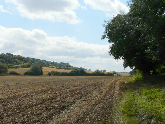
The path continued through a small area of rough grass [2] and then a small empty pasture. There was then another patch of rough grass, before I continued through a paddock with a couple of occupants. There was then a larger empty grass field - partway across I had to go through a gateway in a fence line, close to a mature tree [3]. After a short stretch alongside the river on my left [4], where I saw some Purple Loosestrife, the STOOP followed the right hedgerow of a ploughed field (a tractor had been trimming the hedge when I'd passed here a short time before) [5]. There were now views opening out ahead of me, as I continued south along the Beane valley.
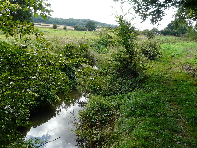
[4] Path beside the Beane again
[5] Heading down the Beane valley
[6] The path through the Beane valley
The straight hedgerow I followed here cut out a large bend in the river, but beyond this field I was back alongside the river and the path now followed the curves of the river through the next few fields [6]. To my right, the fields sloped up towards Aston End, where my father was born and brought up. On the left, more fields sloped up to a wood, where at one point I heard and then spotted a Buzzard.
I reached a lane by a ford [7, 8]. It was completely dry today, but the fact that a footbridge was provided shows that the river can flow across the roadway at times. It was here that I'd chatted to the STOOP wardens, and I now sat on the steps to the footbridge (as they had done) and had a very early lunch about 12.35pm, as I couldn't remember anywhere else convenient to sit in the next few miles.
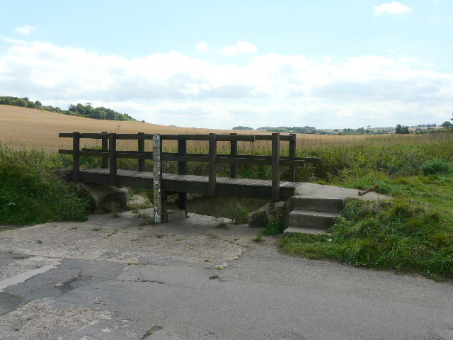
[7] Ford on the river Beane
[8] The Beane (and path) from the footbridge at the ford
[9] The path continuing down the valley
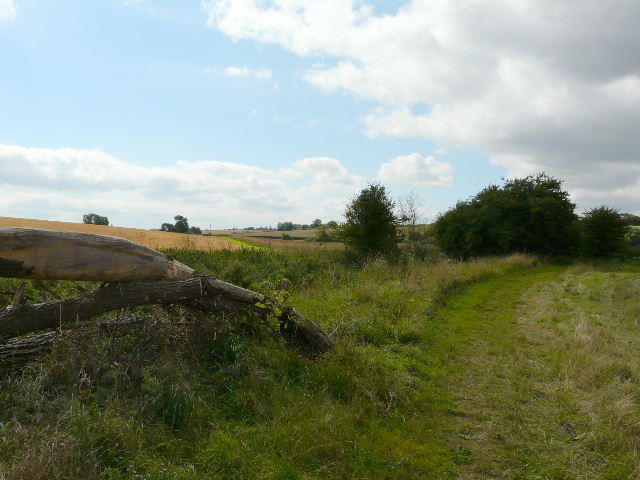
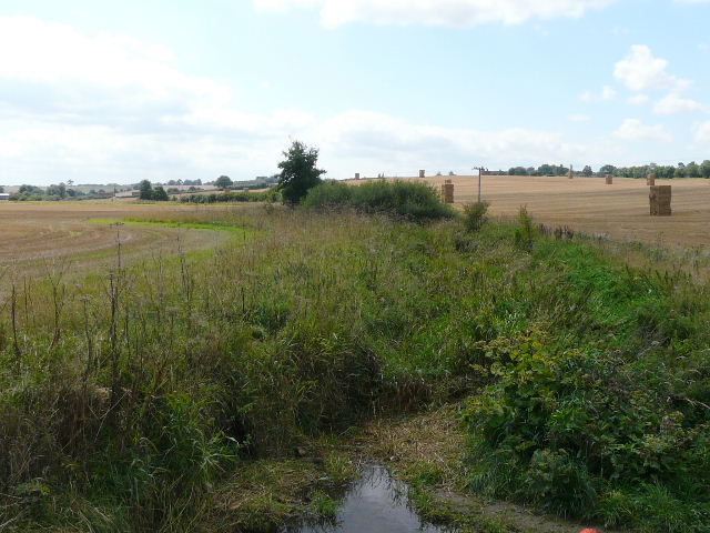
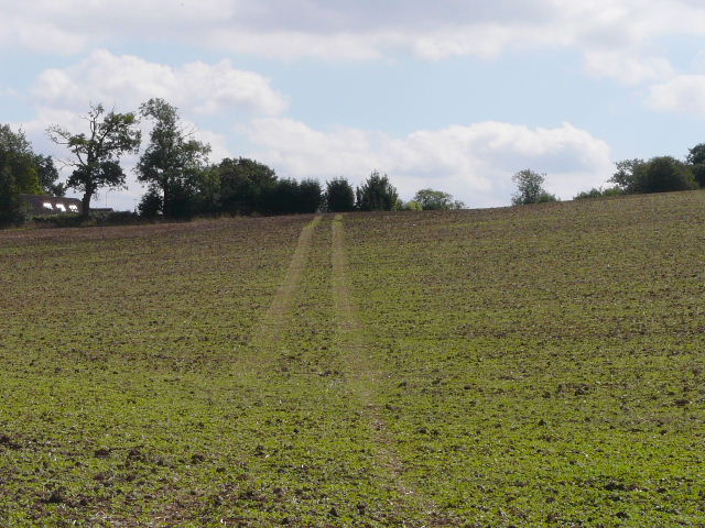
The path continued alongside the river, with first a large field of stubble on my right where the bales of straw were piled in stacks. Further on there was a ploughed field on my right [9]. I had to cross another lane, the path then passing through a narrow meadow before continuing along a broad grass strip next to a large ploughed field, with the river again nearby on my left. After following the curving hedgerow some distance, the route of the STOOP finally left the river Beane, and headed slightly uphill, following tractor tracks across another ploughed field [10]. The public footpath then goes through a garden, but I chose to follow the permissive route that goes round the edge of the garden (the STOOP directions say you can do either). I then turned right, following a lane for about a third of a mile [11].
[10] The path crossing a ploughed field
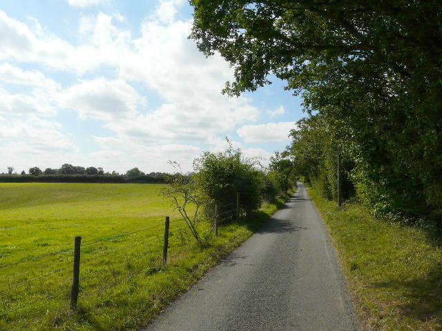
[11] The lane to Astonbury
[12] The path besides the grounds of Astonbury
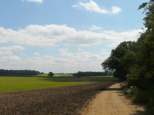
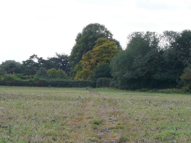
The STOOP then goes left, initially alongside the grounds of Astonbury [12] - I didn't actually get a glimpse of the house, but apparently it is a Grade 1 listed Jacobean Manor, now divided up into apartments. I continued on a rather indistinct path across another ploughed field, and then followed a very pleasant path beside Astonbury Wood on my right, with the wooden fence of some enormous paddocks on my left [13]. Ahead of me I could see the hamlet of Hook's Cross - I mentioned before that my father comes from this area, and he used to walk this path to visit one of his grandmothers in a cottage there.
[13] The path beside Astonbury Wood
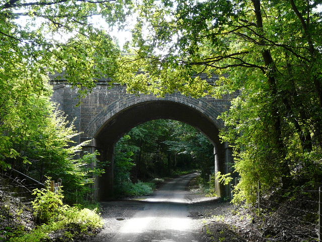
[14] Railway bridge, Raffin Green Lane
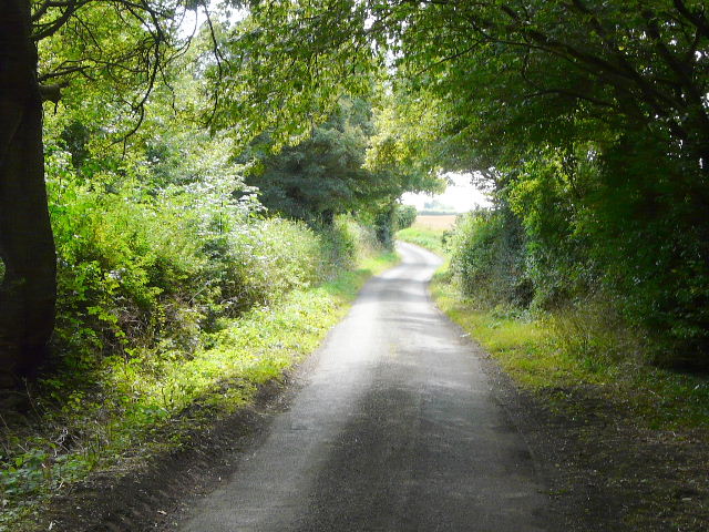
[15] Raffin Green Lane
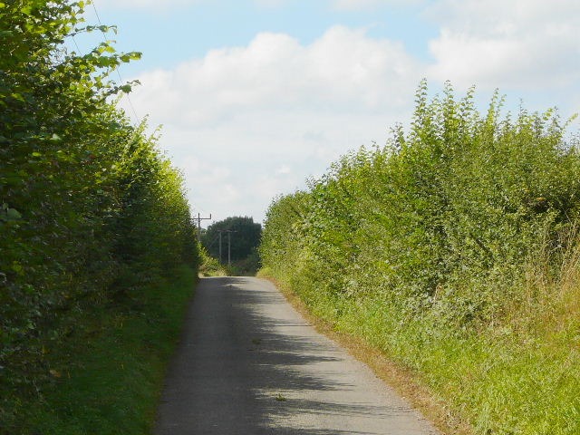
I turned left along the busy main road through the hamlet - I was now very close to the south-east corner of Stevenage. The route directions warned that it was a dangerous road crossing here, and it was - the traffic was very fast, and I was close to the brow of a hill which severely limited how far I could see. But I made it safely over and continued my southwards progression along Raffin Green Lane. This was initially rather dark as it was heavily lined with trees either side. I soon passed under a tall railway bridge [14], and continued along the lane [15] as it gently rose uphill - it was never steep, but it seemed to be gently uphill over most of the mile or so that I followed it. Just after passing the tiny hamlet of Raffin Green it turned sharply right - this marked the point where the STOOP stopped going south and now headed just slightly south of east. I passed Raffin Green Farm on my right, where I saw some Guinea Fowl, and then the lane ran dead straight for a quarter of a mile or so as it entered the village of Datchworth.
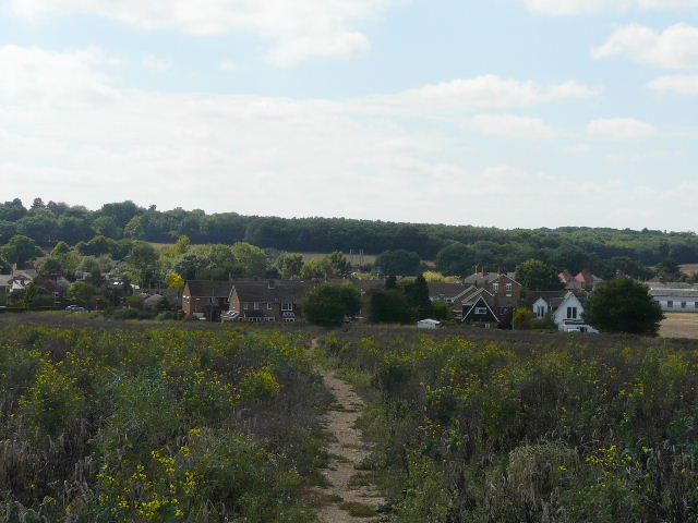
[16] Approaching Datchworth
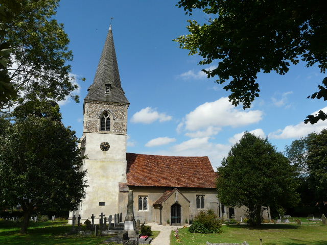
[17] Datchworth church
[18] Path between Datchworth and Woolmer Green
I turned right at a junction, but soon took a path on the left, next to the church [17]. There were nice views here over the rolling fields to the south. The path soon reached another lane, close to a junction. Just round a corner, another path started, running through a small meadow and then crossing a large field that had obviously been left fallow this year [18]. There was another tractor trimming the hedge here, the second time I'd seen this activity today. I went right for a few yards along another lane, then went half-left on a path across a couple of paddocks - the grass here was more like a lawn than a field! The path then continued across another field that had been left fallow - with much evidence of previous year's oil-seed rape crops [19]. Again there were nice views southwards, over similar fields.
The path ended at a lane on the edge of Woolmer Green. I soon turned right into a residential street, which bent to the left. When it turned left again I continued ahead on a footpath that passed by a children's playground and ran between metal fences, with a large petrol station on the right. At the end I crossed the main road through the village, and went down Bridge Road on the opposite side. After a couple of hundred yards I left the village as I passed under the railway bridge that presumably gives the road its name [20]. The STOOP then went half-left along a headland between fields, to reach a corner of the woods of Mardley Heath [21]. The path followed the edge of woods for a couple of hundred yards. Where the path entered the woods, I finished my walk on the STOOP for today. Annoyingly I then managed to go slightly wrong as I crossed the quarter-mile wide heath back to my car!
[19] Approaching Woolmer Green
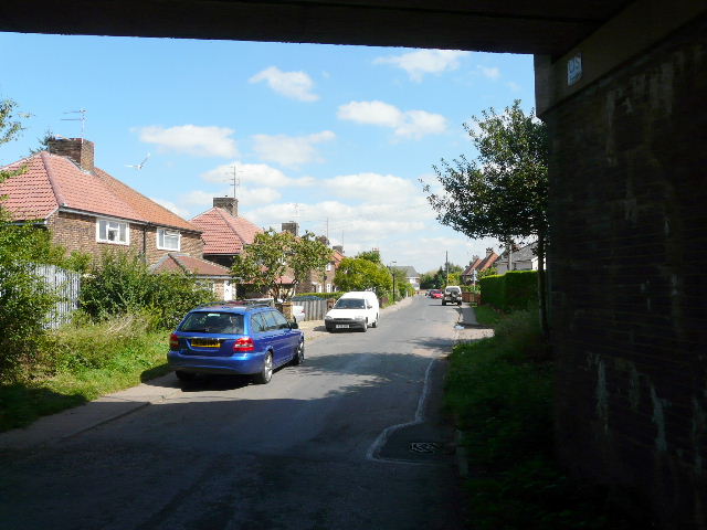
[20] Looking back at Woolmer Green from under the railway bridge
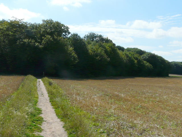
[21] Approaching Mardley Heath
The walk had taken about four and a half hours, excluding stops. It had been another very pleasant walk on the STOOP. There was nothing outstanding on the route, but nothing unpleasant either (except perhaps the road crossing in Hook's Cross). I was a little disappointed that I didn't see more of the river Beane, but then it is only a tiny river anyway. It was still very enjoyable to follow the course of the river through its valley. There was about a mile of road walking along Raffin Green Lane, but there was hardly any traffic at all and this section didn't detract from the walk at all. Overall, this was basically a nice walk through some attractive arable countryside, without ever any hint of the proximity of the large town of Stevenage.