Pete's Walks - STevenage Outer Orbital Path (STOOP)
About My Walk
I walked the Stevenage Outer Orbital Path (or STOOP) in four days, spread over several weeks in August and September 2009. As usual, I did each walk 'both ways', walking about 7 miles in one direction before turning around and retracing my steps, so that at the end of the fourth walk I had completed the entire route in both directions.
Before I did the walk, someone showed me a copy of a map with the route of the STOOP marked on it, and I copied it by marking the route on my own maps with a highlighter pen. For the first two days that I walked the STOOP I just followed this route I'd marked on my maps, but for the last two days I tried to use the 'Route Directions' I'd printed off from the North Herts Ramblers Group web site.
Click here to see a very rough map of the walk (but only if you have already read my disclaimer and notes regarding maps).
Note: I have numbered each photograph (in red) and inserted the same number in the text to show where in the walk the photo was taken.
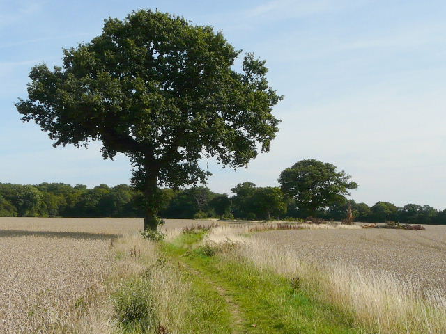
Bridleway between Graveley and Damask Green (Day 1)